Plizio Visual Lab
Sehlabathebe
ℹ️Practical info — Sehlabathebe
▾
🌤 Weather — 5 days
📍 Nearby
Sights nearby
💡 Tips
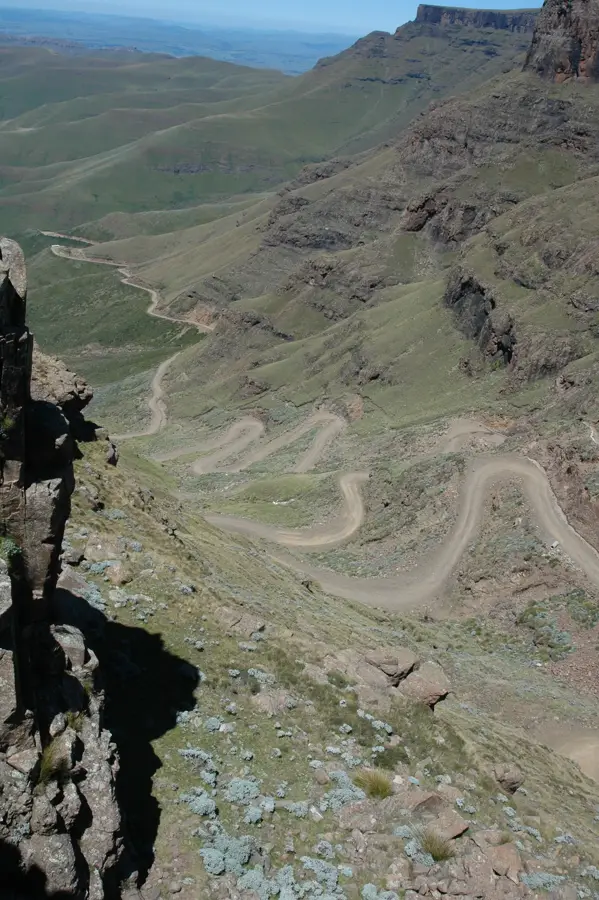
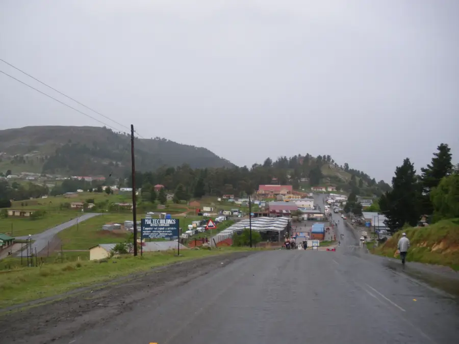
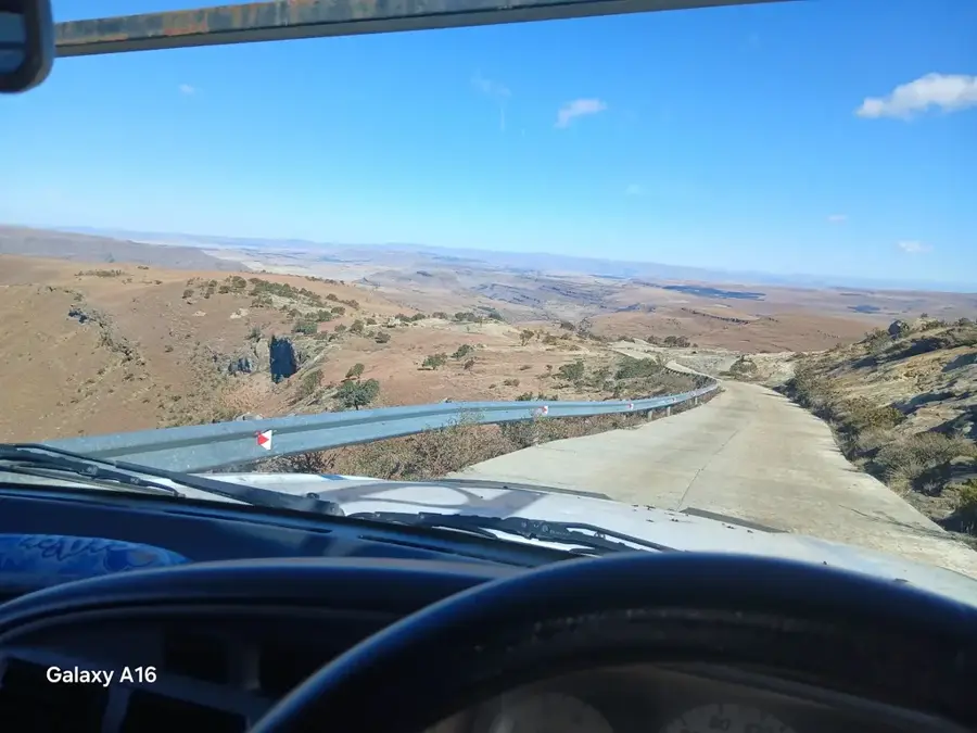
- A 4x4 vehicle is essential for navigating the rough roads to the village and the national park.
- Pack warm layers, as the high altitude means nights can get very cold even in the middle of summer.
- Bring enough cash with you, as ATMs are practically non-existent in this remote area.
- Early morning provides the best light for photographing the dramatic rock formations.
🍽 Food
Maize porridge with wild spinach, often served at local guesthouses.
Barbecued meats are a staple; look for casual roadside setups.
Fried dough bread, great for a quick energy boost before hiking.
🛍 Shopping · 🧘 Quiet spots
The iconic woven grass Mokorotlo hat, available directly from local artisans.
Hand-woven baskets and mats sold in the village.
Serene natural pools in the nearby national park area.
Find a safe spot overlooking the Drakensberg drop-off for absolute silence.
Water temperature…
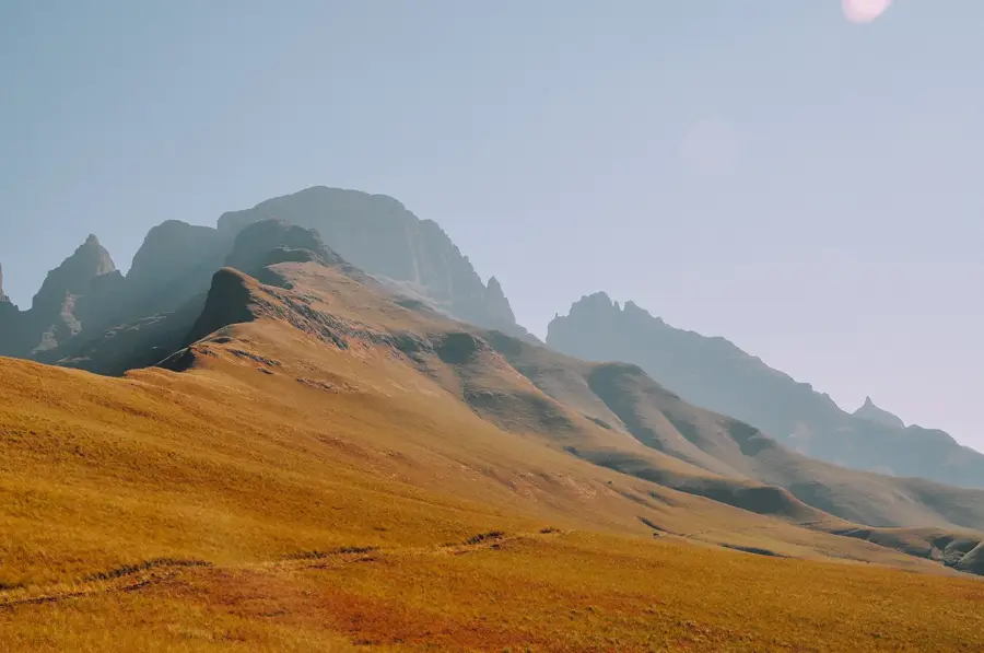
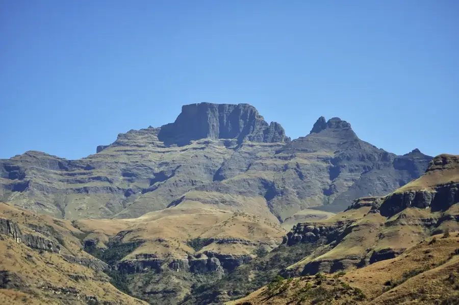
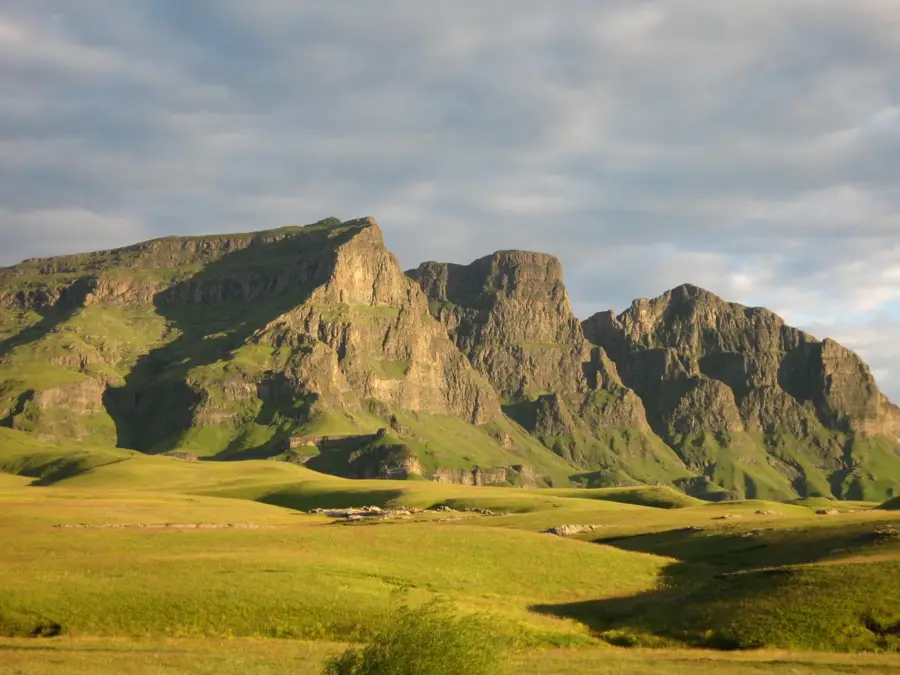
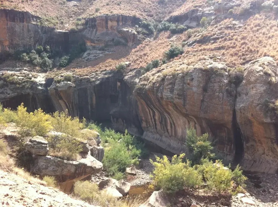
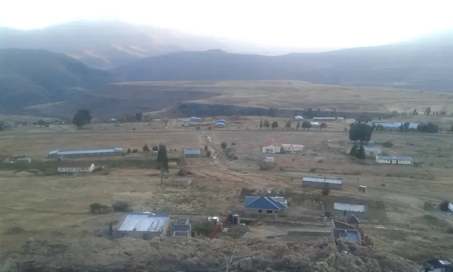
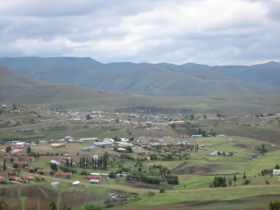
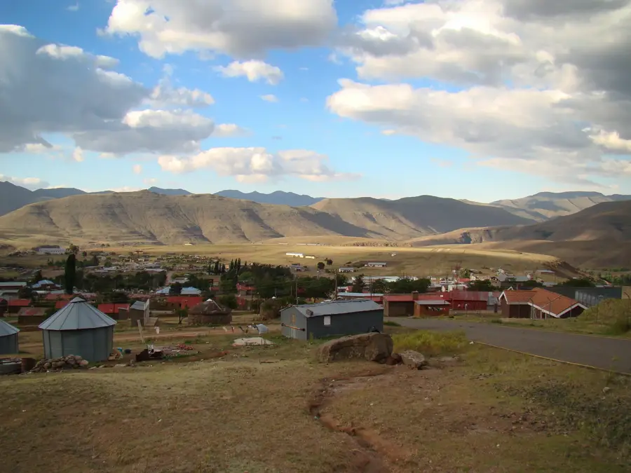
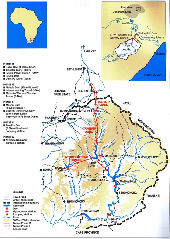
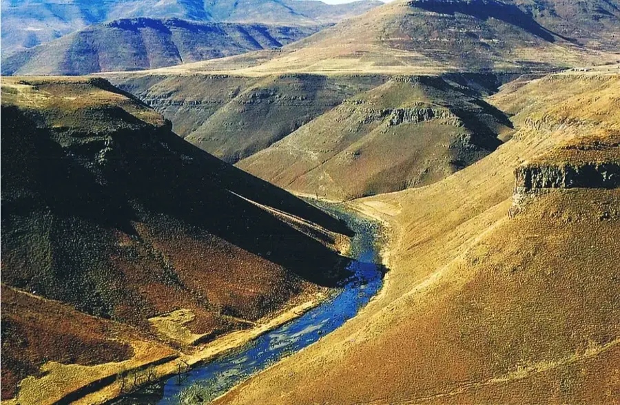
Sehlabathebe is a site of extraordinary natural and cultural significance in the Qacha’s Nek District, primarily known for the national park of the same name. Established in 1969, Sehlabathebe was Lesotho's first national park and today, together with South Africa's uKhahlamba-Drakensberg Park, forms a UNESCO World Heritage site. The landscape is characterized by bizarre sandstone formations, alpine wetlands, and unique flora, including the rare water lily Aponogeton ranunculiflorus. Historically, the area was used as a retreat and hunting ground, while today it stands as a key center for conservation and ecotourism. Its remote location on a high plateau lends Sehlabathebe a mystical atmosphere, often characterized by mist and profound silence. Despite its difficult accessibility, it remains a symbol of the ecological heritage of the 'Kingdom in the Sky'.
- Location: Lesotho
- Top sights: Rock pools · Cattle post · Rock arches
- Nearby: Mashai (34 km)
- Population: ~1.985 (2023)
Best time to visit & climate
The most pleasant time to visit is Oct–Dec.
| Jan | Feb | Mar | Apr | May | Jun | Jul | Aug | Sep | Oct | Nov | Dec | |
|---|---|---|---|---|---|---|---|---|---|---|---|---|
| Avg °C | 17 | 16 | 15 | 11 | 8 | 5 | 5 | 7 | 11 | 14 | 15 | 17 |
| Rain mm | 149 | 126 | 88 | 49 | 15 | 10 | 13 | 21 | 26 | 64 | 88 | 117 |
Geography
Facts
- Home to Lesotho's oldest national park, established in 1969.
- Part of the Maloti-Drakensberg UNESCO World Heritage site.
- Located at an average elevation of 2400 meters above sea level.
- Famous for the endemic Sehlabathebe water lily (Aponogeton ranunculiflorus).
- The area contains numerous ancient San rock art sites.
- A premier destination for birdwatchers and high-altitude hikers.
Explore nearby
Notable places around
Route planner — Car & Motorhome
Where do you start? We build the route here, with stops and country notes along the way.
© OpenStreetMap contributors · OpenRouteService
Sights in the town Sehlabathebe (4)
Frequently asked questions
What makes Sehlabathebe National Park special?
Do I need a 4x4 vehicle?
Are there rock paintings there?
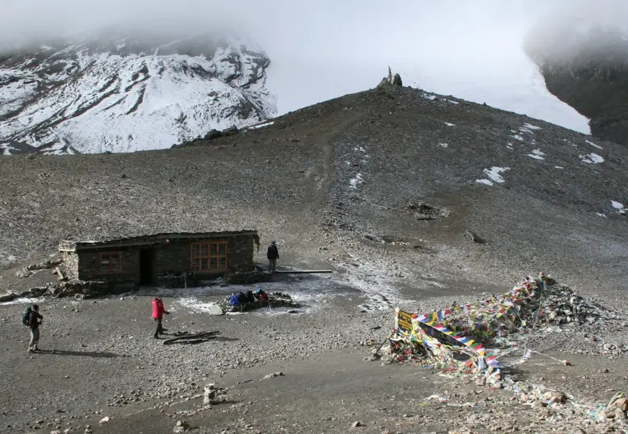
Can you stay overnight in the park?
What animals can be seen?
Sehlabathebe: where is it located?
Sehlabathebe: what is there to see?
Sehlabathebe: when is the best time to visit?
Sehlabathebe: why is it worth visiting?

Nearby cities
History & landmarks
Nature
More places