Plizio Visual Lab
Ongeluksnek Pass

Weather…
Water temperature…
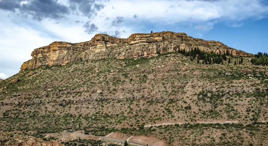
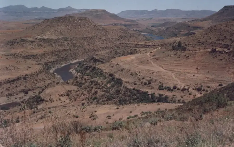
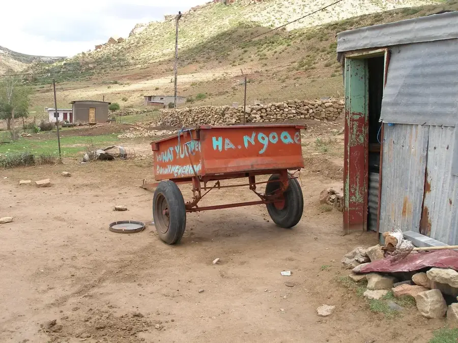
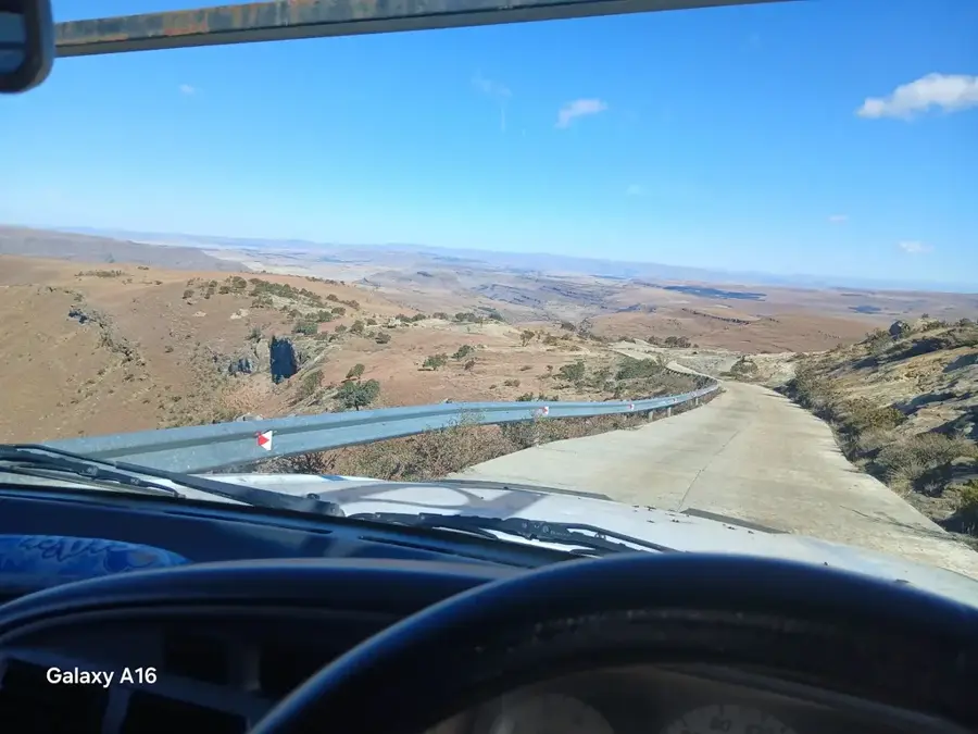
Ongeluksnek Pass is a remote and rugged mountain crossing in the southern Drakensberg range, linking the highlands of Lesotho with the Eastern Cape province of South Africa. Situated at an elevation exceeding 2,500 meters, the pass is celebrated for its untamed natural beauty and its strategic role in the regional economy. It serves as a primary conduit for the cross-border livestock trade, a practice central to the Basotho way of life. Shepherds regularly traverse these steep slopes to bring cattle and sheep to seasonal markets, maintaining an economic link that has existed for generations. The name 'Ongeluksnek' (Accident Neck) refers to historical hardships faced by the Griqua people during their 19th-century migrations across the territory. Today, the pass remains a destination for adventurous travelers and 4x4 enthusiasts, offering challenging terrain and panoramic vistas of the Maloti-Drakensberg Park. Its isolation ensures a pristine environment where the traditional pastoral culture remains vividly alive against a backdrop of towering basalt peaks.
- Location: Lesotho
- Nearby: Tebellong Station (32 km)
Best time to visit & climate
The most pleasant time to visit is Feb, Oct, Dec.
| Jan | Feb | Mar | Apr | May | Jun | Jul | Aug | Sep | Oct | Nov | Dec | |
|---|---|---|---|---|---|---|---|---|---|---|---|---|
| Avg °C | 20 | 19 | 17 | 14 | 11 | 8 | 8 | 10 | 14 | 16 | 18 | 19 |
| Rain mm | 150 | 130 | 108 | 59 | 17 | 12 | 21 | 30 | 42 | 83 | 110 | 136 |
📋 Practical info
Geography
Facts
- Elevation: 2,740 meters
- Road length: 32 km
- Year built: 1956
- Average daily traffic: 150 vehicles
- Paved portion: 40% (since 2018)
- Annual border crossings by trucks: approx. 3,000
Explore nearby
Notable places around
Route planner — Car & Motorhome
Where do you start? We build the route here, with stops and country notes along the way.
© OpenStreetMap contributors · OpenRouteService
Sights in the town Ongeluksnek Pass (1)
Sights nearby
Frequently asked questions
What is the road condition like on Ongeluksnek Pass?
Is a visa required for the border crossing?
Are there gas stations near the pass?
What is the altitude of Ongeluksnek Pass?
Can you camp at the pass?
Ongeluksnek Pass: where is it located?
Ongeluksnek Pass: when is the best time to visit?
Ongeluksnek Pass: why is it worth visiting?

Nearby cities
History & landmarks
Nature
More places