Plizio Visual Lab
Sehlabathebe Plateau
Weather…
Water temperature…
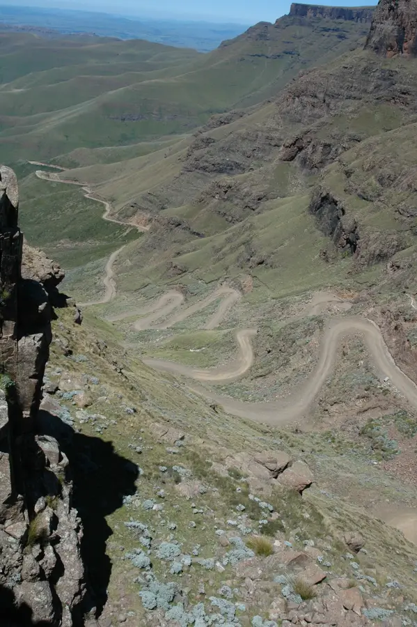
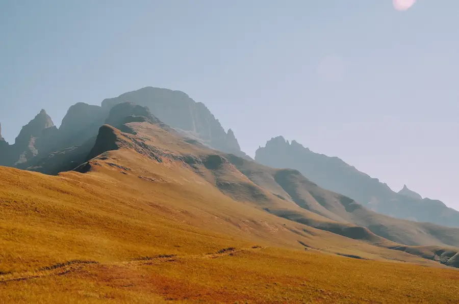
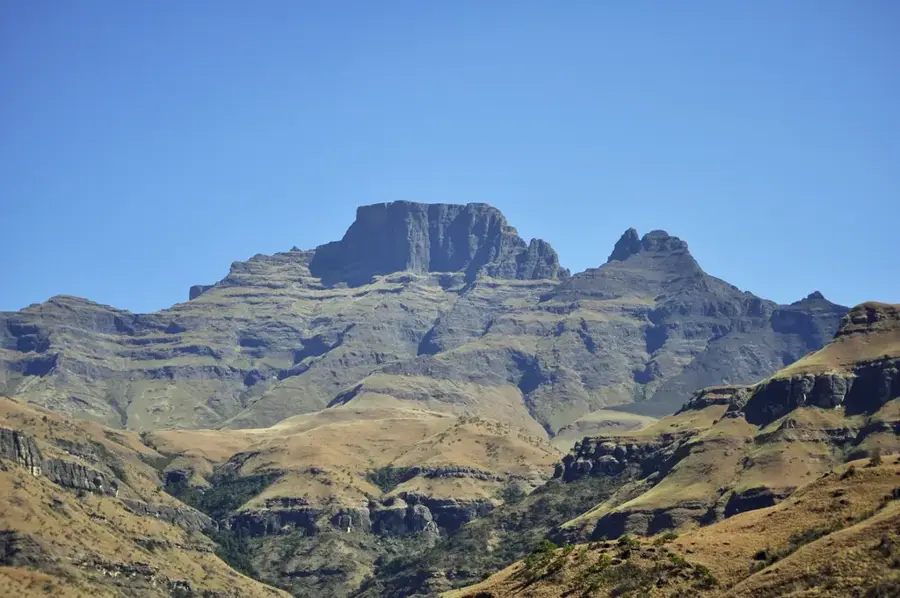
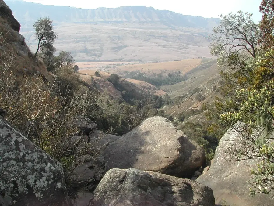
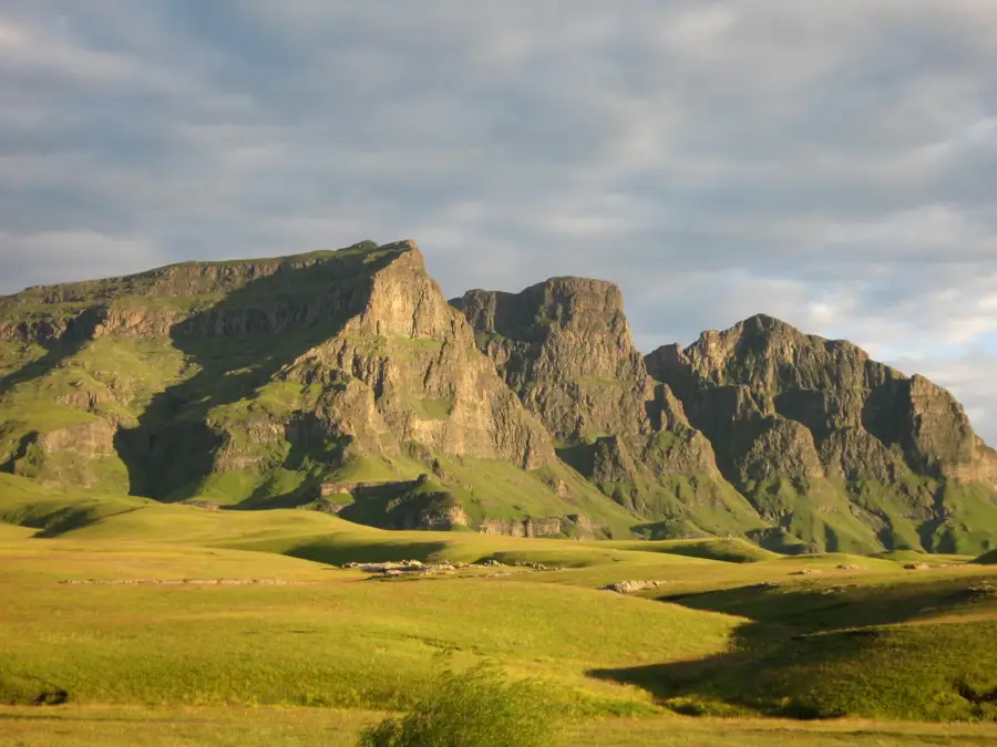
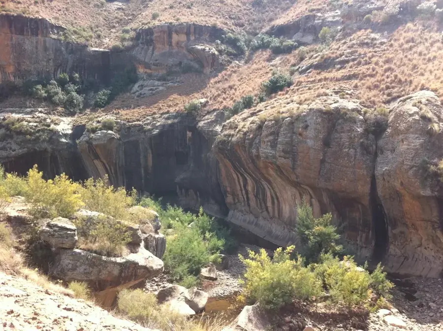
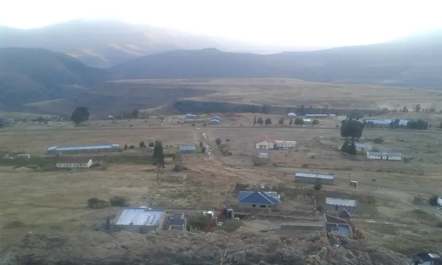
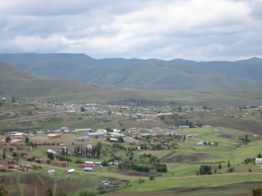
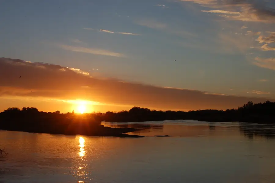
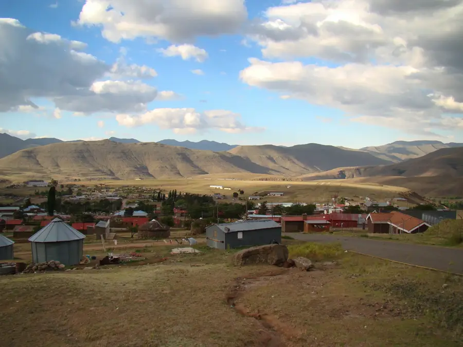
The Sehlabathebe Plateau, situated on the southeastern border of Lesotho, is the core of the country's first national park and forms part of a UNESCO World Heritage site. Resting at an average altitude of 2,400 meters, the plateau features a mystical landscape of rolling grasslands, silent alpine lakes, and bizarre sandstone rock formations eroded by wind into shapes resembling ancient ruined cities. This ecologically sensitive region is home to numerous rare and endemic species, most notably the critically endangered Sehlabathebe water lily. The area's extreme isolation has helped perfectly preserve both its rich biodiversity and the ancient San rock art hidden within its caves. The plateau is frequently shrouded in dense mountain fog, lending it a mysterious atmosphere that attracts birdwatchers and dedicated hikers. Despite its difficult accessibility, Sehlabathebe remains a vital symbol of Lesotho’s ecological heritage. Its unique combination of remarkable geology and rare alpine flora makes it one of the most precious conservation areas in all of Southern Africa.
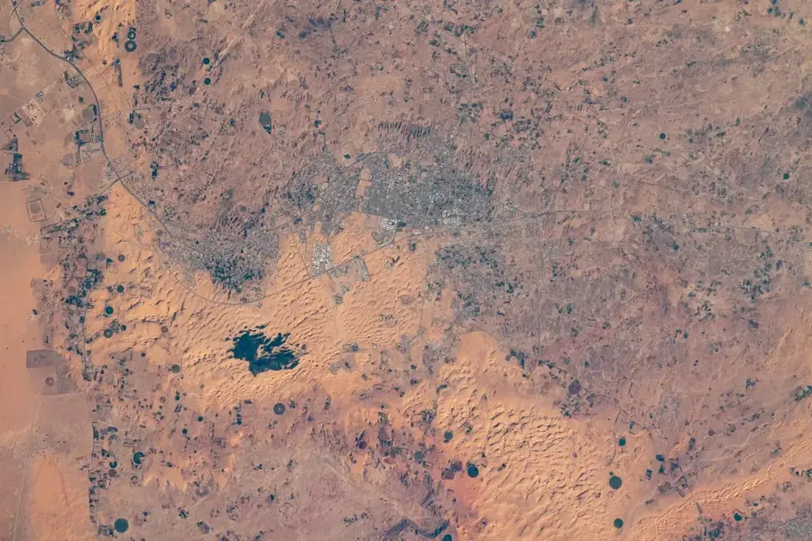
- Location: Lesotho
- Nearby: Mashai (37 km)
Best time to visit & climate
The most pleasant time to visit is Oct–Dec.
| Jan | Feb | Mar | Apr | May | Jun | Jul | Aug | Sep | Oct | Nov | Dec | |
|---|---|---|---|---|---|---|---|---|---|---|---|---|
| Avg °C | 17 | 16 | 15 | 11 | 8 | 5 | 5 | 7 | 11 | 14 | 15 | 17 |
| Rain mm | 149 | 126 | 88 | 49 | 15 | 10 | 13 | 21 | 26 | 64 | 88 | 117 |
📋 Practical info
Geography
Facts
- Home to Lesotho's oldest national park, established in 1969.
- Part of the Maloti-Drakensberg UNESCO World Heritage site.
- Located at an average elevation of 2400 meters above sea level.
- Famous for the endemic Sehlabathebe water lily (Aponogeton ranunculiflorus).
- The area contains numerous ancient San rock art sites.
- A premier destination for birdwatchers and high-altitude hikers.
Explore nearby
Notable places around
Route planner — Car & Motorhome
Where do you start? We build the route here, with stops and country notes along the way.
© OpenStreetMap contributors · OpenRouteService
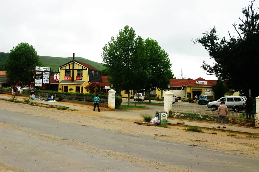
Sights in the town Sehlabathebe Plateau (1)
Sights nearby
Frequently asked questions
Is Sehlabathebe a national park?
What are the attractions in the park?
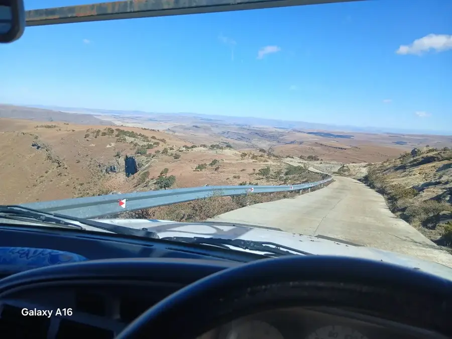
How difficult is the journey to the park?
Are there accommodations in the park?
What is the Sehlabathebe water frog?
Sehlabathebe Plateau: where is it located?
Sehlabathebe Plateau: when is the best time to visit?
Sehlabathebe Plateau: why is it worth visiting?

Nearby cities
History & landmarks
Nature
More places