Plizio Visual Lab
Phamong
ℹ️Practical info — Phamong
▾
🌤 Weather — 5 days
📍 Nearby
Sights nearby
💡 Tips
- Phamong has deep royal history; hiring a local guide to explain the chief's compound is highly recommended.
- Side roads off the main route can be rough, a 4x4 or high-clearance vehicle is best.
- The local trading post is the main hub for both information and basic supplies.
- Pack layers, as temperatures drop drastically once the sun goes down behind the mountains.
🍽 Food
Ask around the village center for places serving hearty local stews.
Try to find this refreshing homemade non-alcoholic brew during local gatherings or at small shops.
In the late summer, buy freshly roasted corn on the cob from roadside fires.
🛍 Shopping · 🧘 Quiet spots
Local farmers produce excellent mohair; ask at the trading post if any raw or spun yarn is available.
Wild aloe grows abundantly; look for locally made aloe balms in small stores.
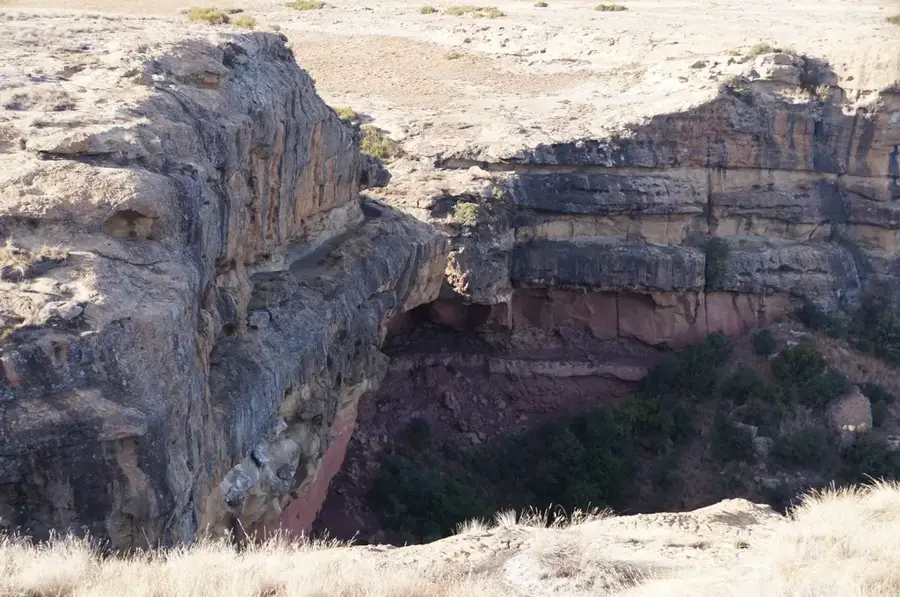
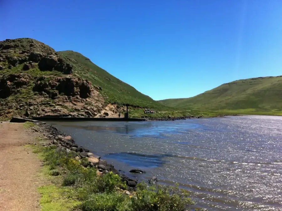
Wander the lower paths of the valley for a serene experience surrounded by rugged cliffs.
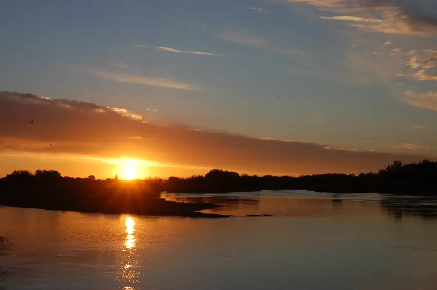
Find a safe spot overlooking the river gorge for a great sunset moment.
Water temperature…
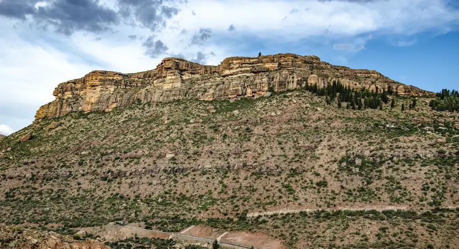
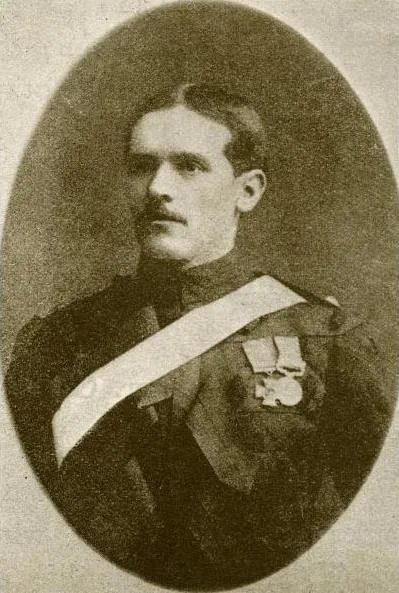
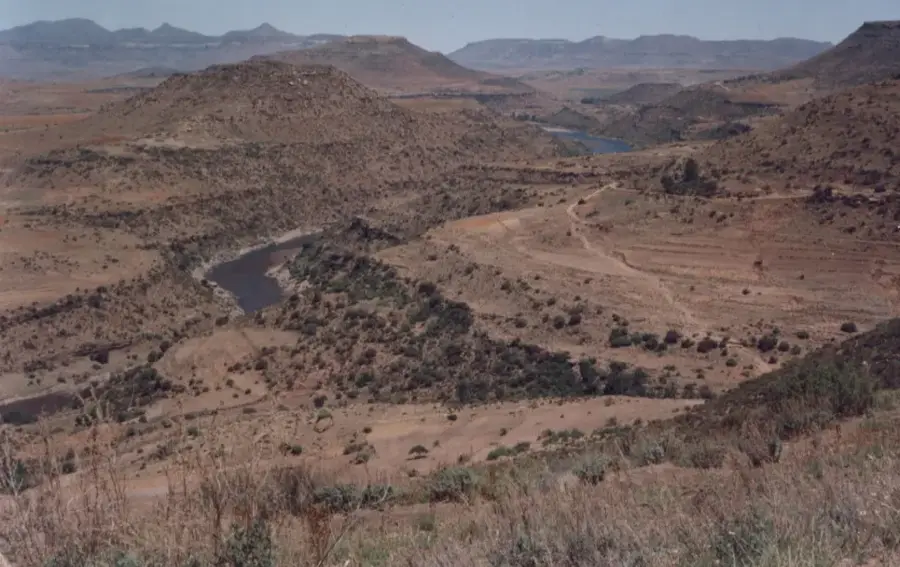
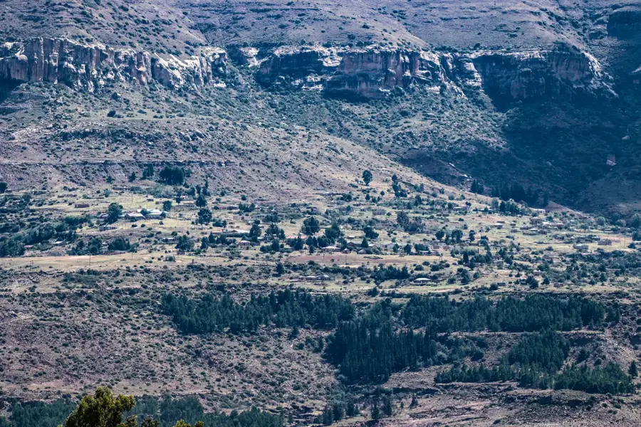
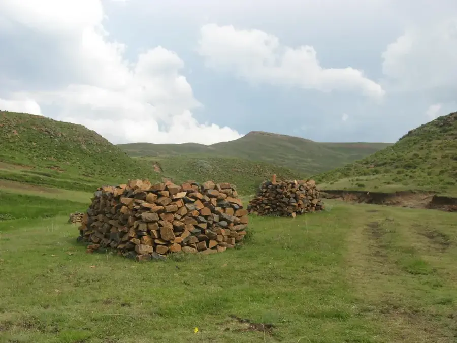
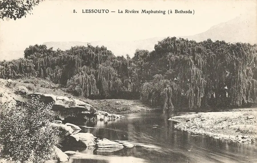
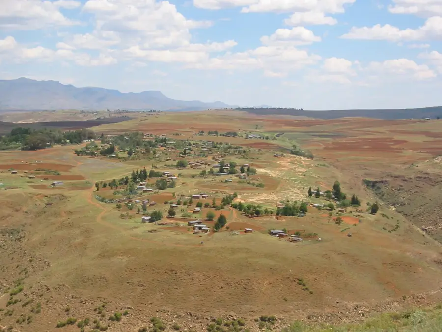
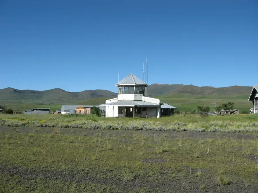
Phamong is a historically significant community in the Mohale's Hoek District in southwestern Lesotho. The village is situated in a dramatic landscape overlooking the Senqu River (Orange), which carves deep into the highlands. Phamong gained fame as the residence of Chief Griffith Lerotholi, a former leader of the Basotho, which lent the village special political and cultural importance. The architecture of the settlement is a blend of traditional mud huts and more modern structures, with the region's missionary stations having significantly shaped social development. Residents are heavily involved in sheep and goat farming, with mohair production being one of the most vital sources of income. Due to its remote location, Phamong has preserved much of its original character while offering wide-open views over the valleys of the southern highlands.
- Location: Lesotho
- Nearby: Mount Moorosi (20 km)
- Population: ~8.402 (2024)
Best time to visit & climate
The most pleasant time to visit is Jan, Feb, Dec.
| Jan | Feb | Mar | Apr | May | Jun | Jul | Aug | Sep | Oct | Nov | Dec | |
|---|---|---|---|---|---|---|---|---|---|---|---|---|
| Avg °C | 17 | 17 | 15 | 11 | 7 | 4 | 4 | 6 | 11 | 14 | 15 | 17 |
| Rain mm | 121 | 102 | 81 | 55 | 19 | 17 | 13 | 25 | 23 | 67 | 86 | 106 |
Geography
Facts
- Located in the Mohale's Hoek District in the mountainous south.
- Once the residence of the influential Chief Griffith Lerotholi.
- Situated on a plateau overlooking the Senqu River valley.
- A key center for the trade of Angora wool (mohair).
- The village is accessible only via challenging gravel roads.
- Home to one of the oldest missionary schools in the region.
Explore nearby
Notable places around
Route planner — Car & Motorhome
Where do you start? We build the route here, with stops and country notes along the way.
© OpenStreetMap contributors · OpenRouteService
Frequently asked questions
What is Phamong known for?
What are the surroundings of Phamong like?
Can you see the Orange River there?
Are there accommodations in Phamong?
Is the road to Phamong good?
Phamong: where is it located?
Phamong: when is the best time to visit?
Phamong: why is it worth visiting?

Nearby cities


History & landmarks
Nature
More places