Plizio Visual Lab
Mont-aux-Sources
Weather…
Water temperature…
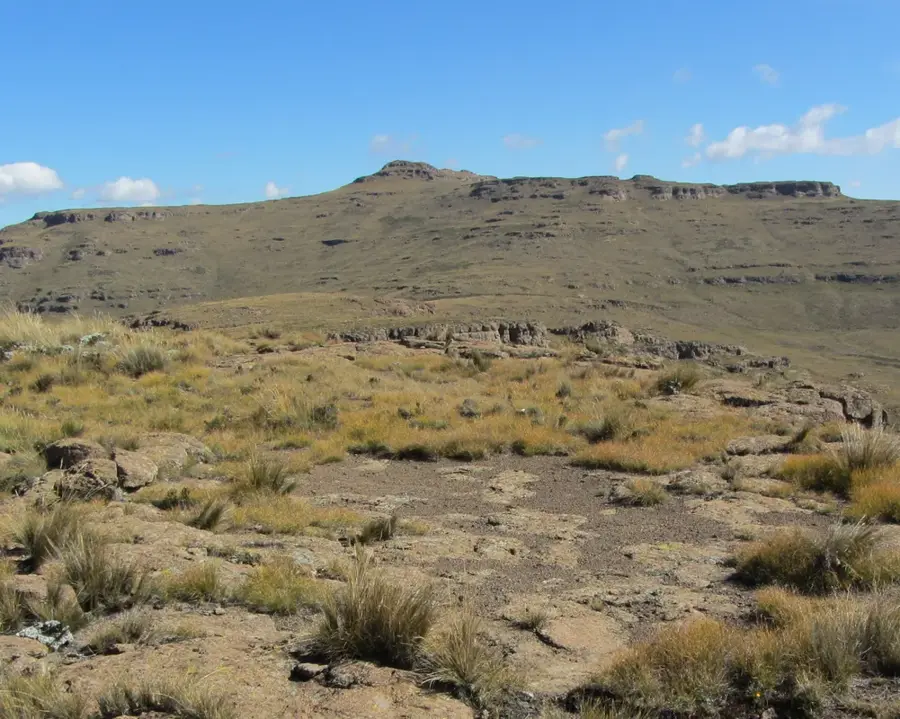
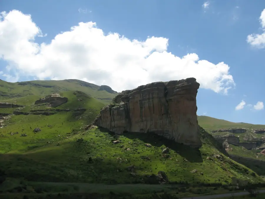
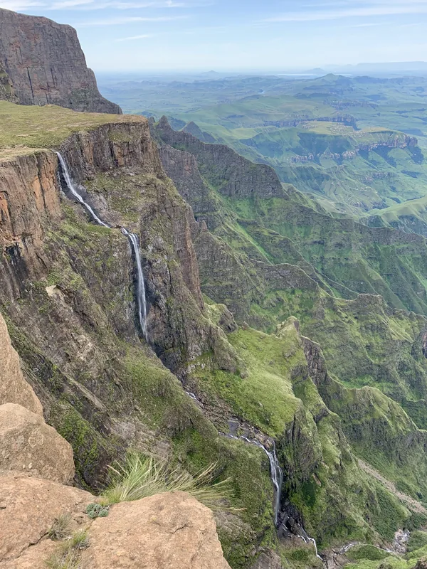
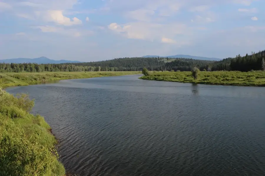
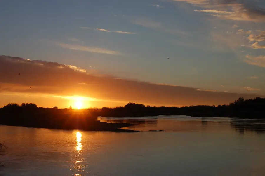
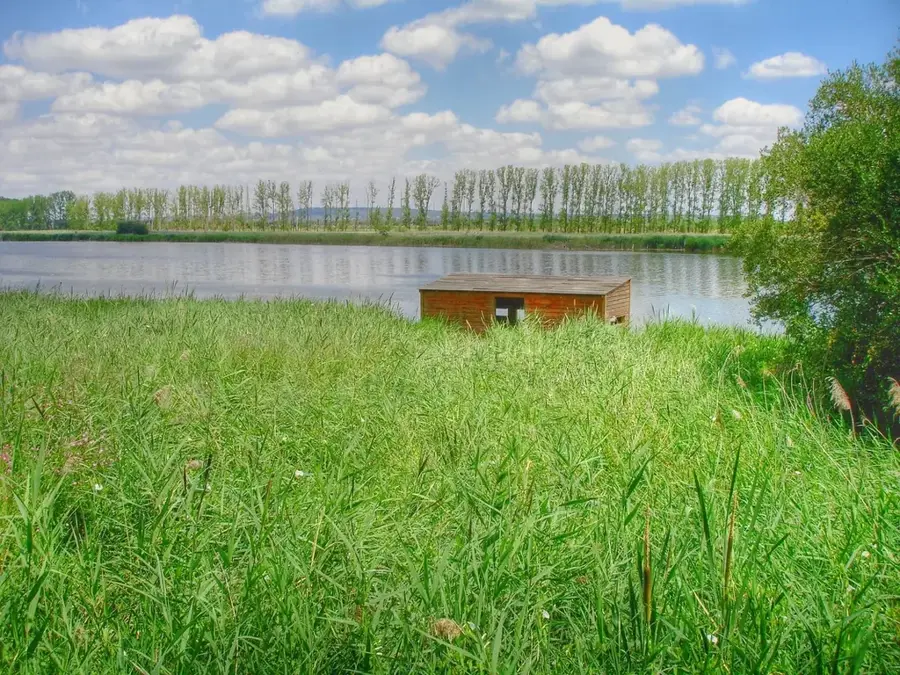
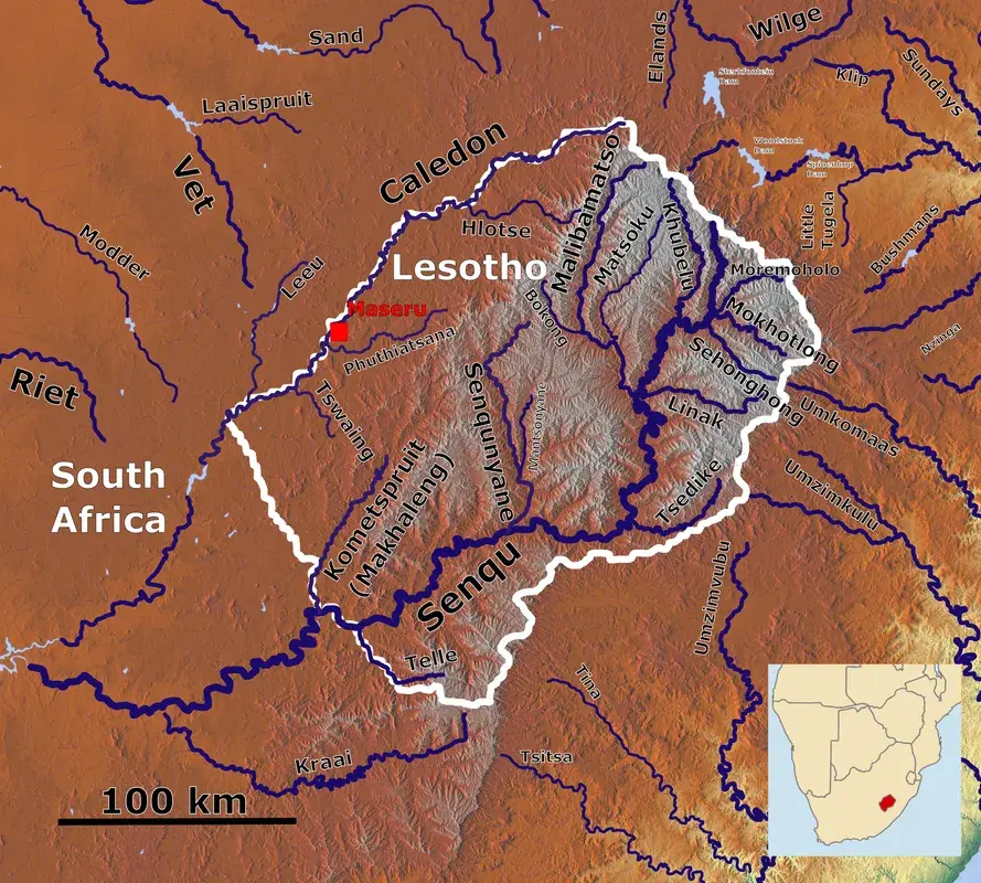
Mont-aux-Sources is a major mountain massif in Southern Africa, forming the junction between Lesotho and the South African provinces of KwaZulu-Natal and the Free State. Its name, meaning 'Mountain of Sources,' was bestowed in 1836 by French missionaries, recognizing that the springs of several major rivers originate here. The Tugela, Vaal, and Senqu (Orange) rivers all have their sources within this massif, making it a hydrological hub of continental importance. Geologically, the mountain consists of a vast basalt plateau resting on sandstone, reaching its highest peak at approximately 3282 meters. One of its most iconic features is the Amphitheatre rock wall, over which the Tugela Falls, one of the world's highest waterfalls, plunges in several spectacular drops. Access to the summit plateau is famously achieved via chain ladders, providing a thrilling ascent for hikers. The environment is home to unique alpine vegetation, including various proteas and high-altitude grasses, while Cape vultures can often be spotted soaring above. Mont-aux-Sources is a site of immense ecological significance and remains a premier destination for mountain climbers and nature enthusiasts exploring the Drakensberg range.
- Location: Lesotho
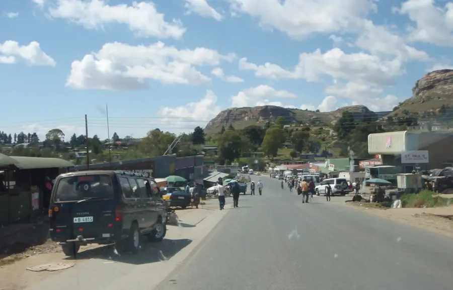
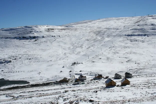
- Nearby: Afriski Mountain Resort (16 km)
Best time to visit & climate
The most pleasant time to visit is Sep–Nov.
| Jan | Feb | Mar | Apr | May | Jun | Jul | Aug | Sep | Oct | Nov | Dec | |
|---|---|---|---|---|---|---|---|---|---|---|---|---|
| Avg °C | 14 | 14 | 12 | 9 | 5 | 2 | 2 | 5 | 8 | 11 | 12 | 14 |
| Rain mm | 193 | 155 | 115 | 65 | 16 | 14 | 12 | 23 | 32 | 82 | 115 | 163 |
📋 Practical info
Geography
Facts
- The massif reaches a peak elevation of 3282 meters above sea level.
- It is the source of the Tugela River, which flows into the Indian Ocean.
- The Senqu (Orange) River begins here and traverses the continent to the Atlantic.
- The Tugela Falls drop roughly 948 meters, making them among the world's tallest.
- The mountain was officially named by French missionaries in 1836.
- The iconic chain ladders used by hikers were installed to scale the final rock buttress.
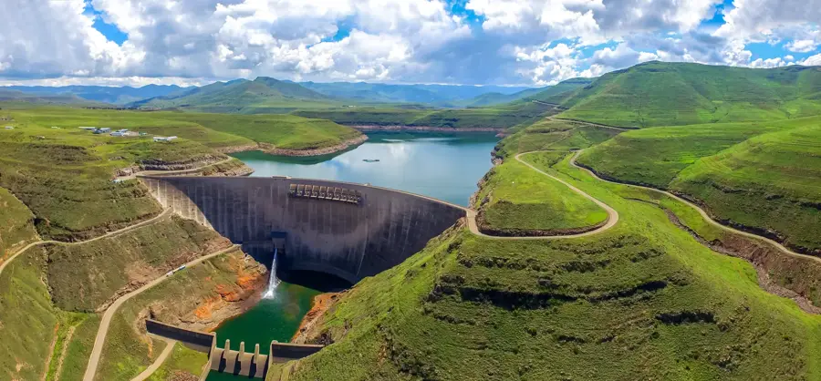
Explore nearby
Notable places around
Route planner — Car & Motorhome
Where do you start? We build the route here, with stops and country notes along the way.
© OpenStreetMap contributors · OpenRouteService
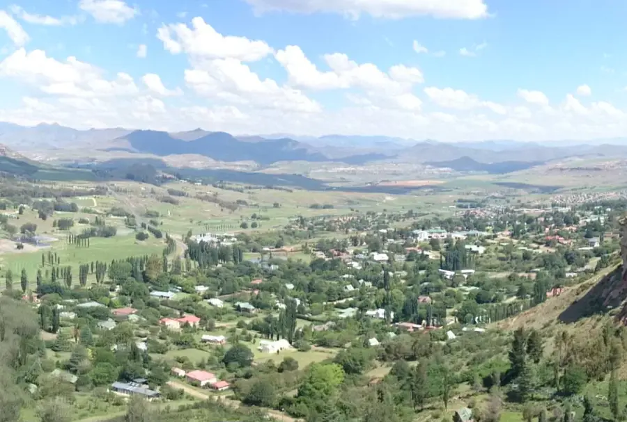
Sights in the town Mont-aux-Sources (1)
Sights nearby
Frequently asked questions
Why is the mountain called Mont-aux-Sources?
How high is the summit?
Is the climb difficult?
Are there waterfalls there?
What should one bring for a hike?
Mont-aux-Sources: where is it located?
Mont-aux-Sources: when is the best time to visit?
Mont-aux-Sources: why is it worth visiting?

Nearby cities


History & landmarks
Nature
More places