Plizio Visual Lab
Namahali Pass

Weather…
Water temperature…
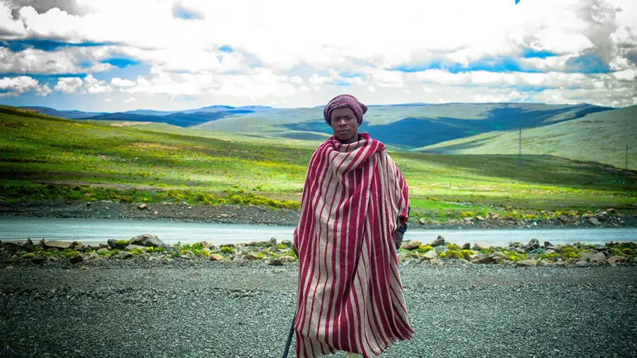
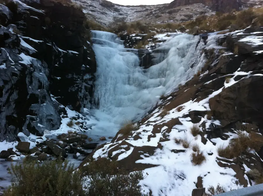
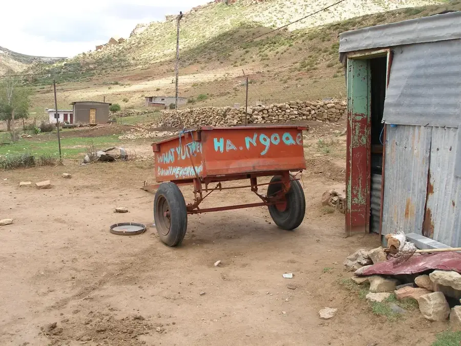
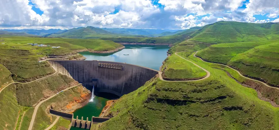
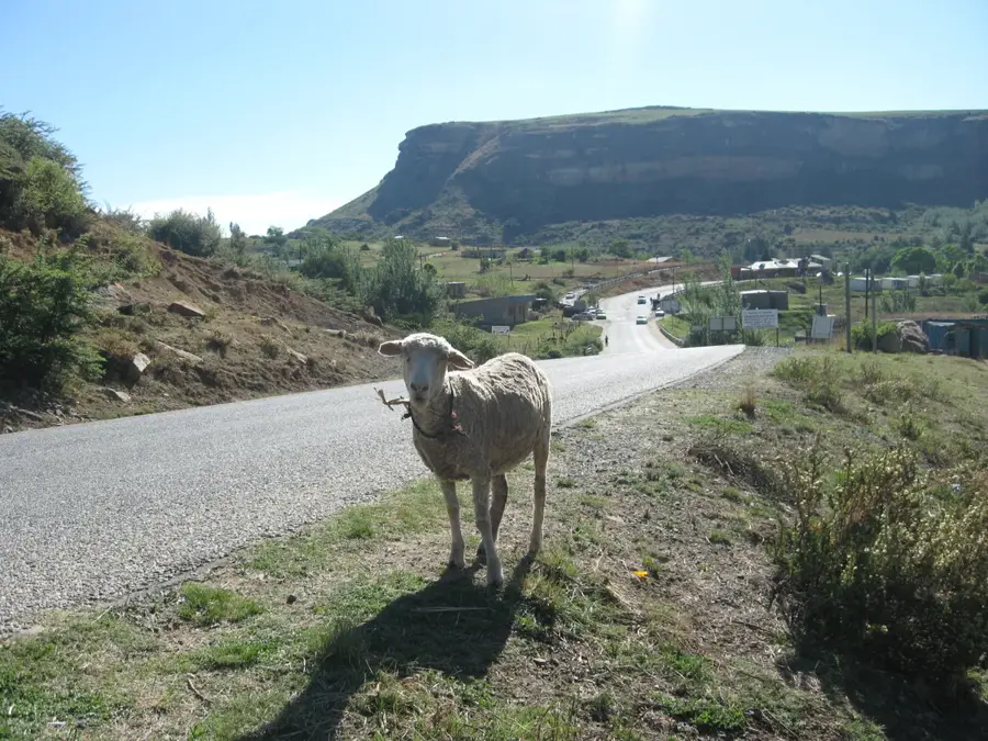
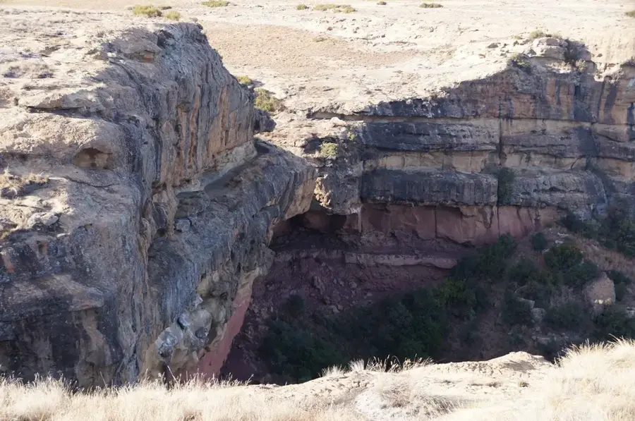
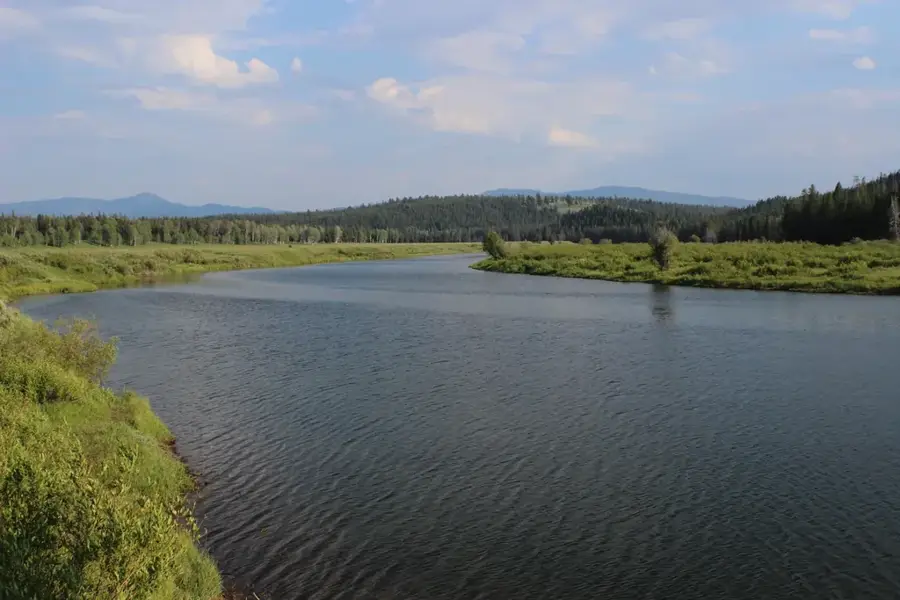
Namahali Pass is a historical high-altitude trade route located in the Maloti Mountains, connecting the highlands of Lesotho with the Free State province of South Africa. Sitting at an elevation of over 3,000 meters, this pass has functioned for generations as a vital artery for informal economic exchange between neighboring communities. Its primary role remains the movement of livestock, with shepherds frequently driving cattle, sheep, and goats across the border to reach seasonal grazing lands. The path is rugged and accessible only by foot or on horseback, preserving the remote character of the mountain villages it serves. For trekkers, the pass features some of the most dramatic views of the Maloti-Drakensberg peaks and provides a unique window into the traditional Basotho pastoral lifestyle. Despite its isolation, Namahali remains a living symbol of the cross-border cultural and economic ties that define this high-altitude region of Southern Africa.
- Location: Lesotho
- Nearby: Afriski Mountain Resort (14 km)
Best time to visit & climate
The most pleasant time to visit is Feb, Sep, Oct.
| Jan | Feb | Mar | Apr | May | Jun | Jul | Aug | Sep | Oct | Nov | Dec | |
|---|---|---|---|---|---|---|---|---|---|---|---|---|
| Avg °C | 18 | 17 | 15 | 12 | 9 | 6 | 6 | 8 | 12 | 15 | 16 | 17 |
| Rain mm | 156 | 122 | 102 | 54 | 14 | 13 | 12 | 21 | 30 | 80 | 109 | 140 |
📋 Practical info
Geography
Facts
- Elevation: 2,850 meters
- Road length: 35 km
- Year built: 1964
- Maximum winter snow depth: 1.2 meters
- Annual freight traffic: 8,000 tons
- Average temperature in January: 12 °C
Explore nearby
Notable places around
Route planner — Car & Motorhome
Where do you start? We build the route here, with stops and country notes along the way.
© OpenStreetMap contributors · OpenRouteService
Sights nearby
Frequently asked questions
What makes the Namahali Pass special?
Can you cross the pass on foot?
Are there paved roads on the pass?
What animals can you see at Namahali Pass?
Is a permit required for the pass?
Namahali Pass: where is it located?
Namahali Pass: when is the best time to visit?
Namahali Pass: why is it worth visiting?

Nearby cities
History & landmarks

Nature

More places