Plizio Visual Lab
Butha-Buthe
ℹ️Practical info — Butha-Buthe
▾
🌤 Weather — 5 days
📍 Nearby
Sights nearby
💡 Tips
- It serves as a well-suited base for visiting the Afriski resort or crossing the Moteng Pass.
- Winter months (June to August) are freezing; warm layers are absolutely mandatory.
- Minibus taxis gather near the town center; check the destination sign before boarding.
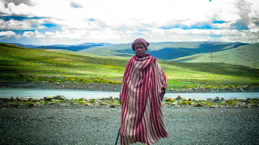
- Learn the greeting 'Khotso' (Peace) when meeting the incredibly friendly Basotho people.
- Local shops close early on Sundays, so stock up on essentials on Saturday.
🍽 Food
A thick maize meal porridge, served everywhere as the staple food.
Delicious chopped and sautéed wild greens or spinach.
A rich, slow-cooked meat dish available at the better local diners.
🛍 Shopping · 🧘 Quiet spots
The iconic wool blanket of Lesotho, sold in most general dealers in town.
The traditional woven conical hat, a great and authentic souvenir.
Drive a few kilometers out for spectacular, silent mountain vistas.
A calm spot to appreciate the historical architecture and quiet surroundings.
Water temperature…
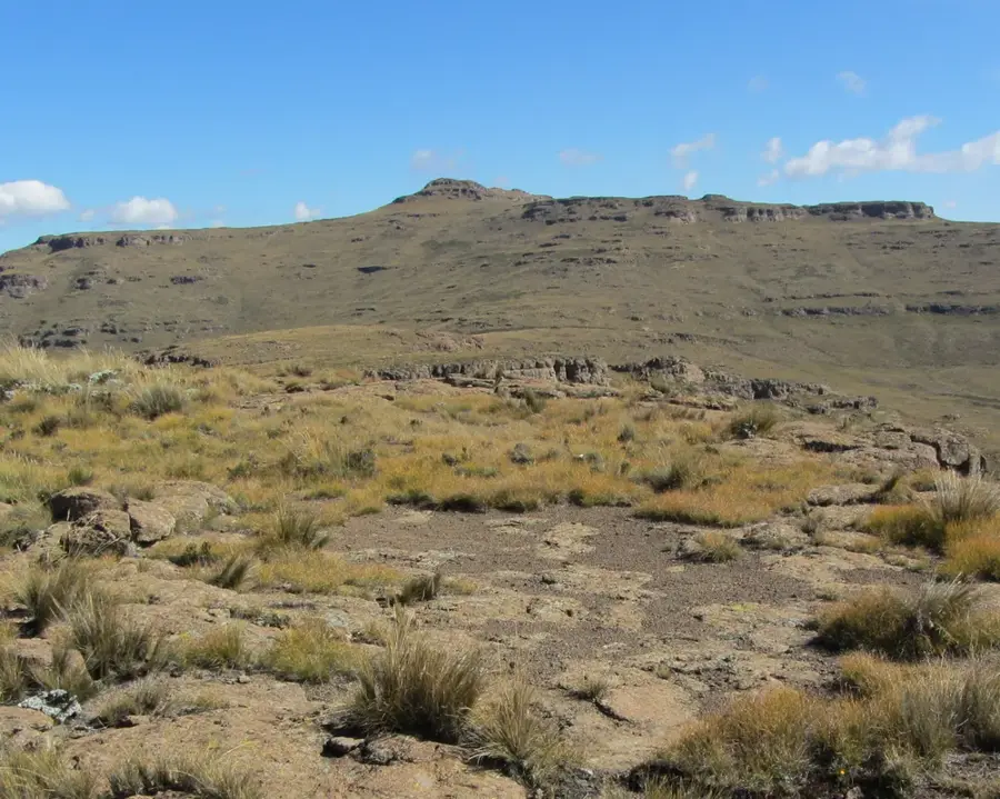
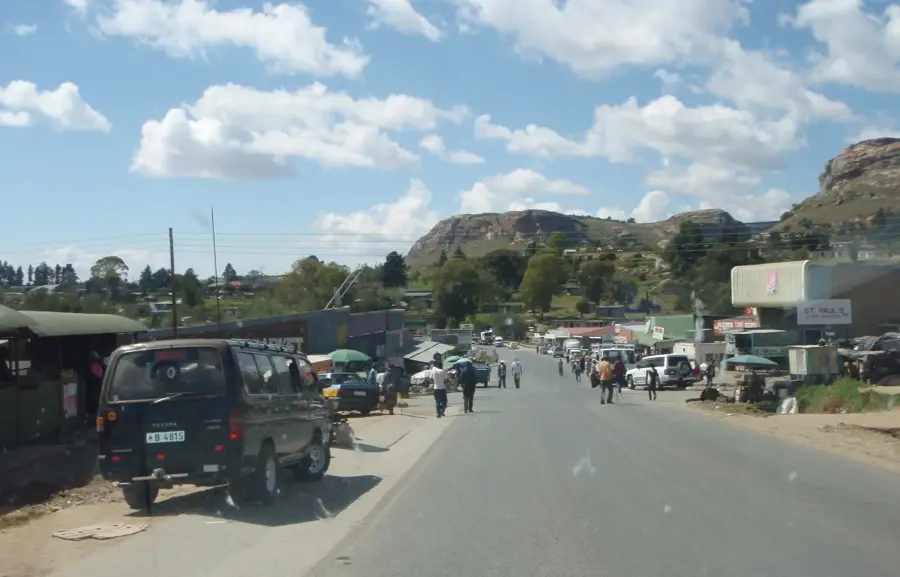
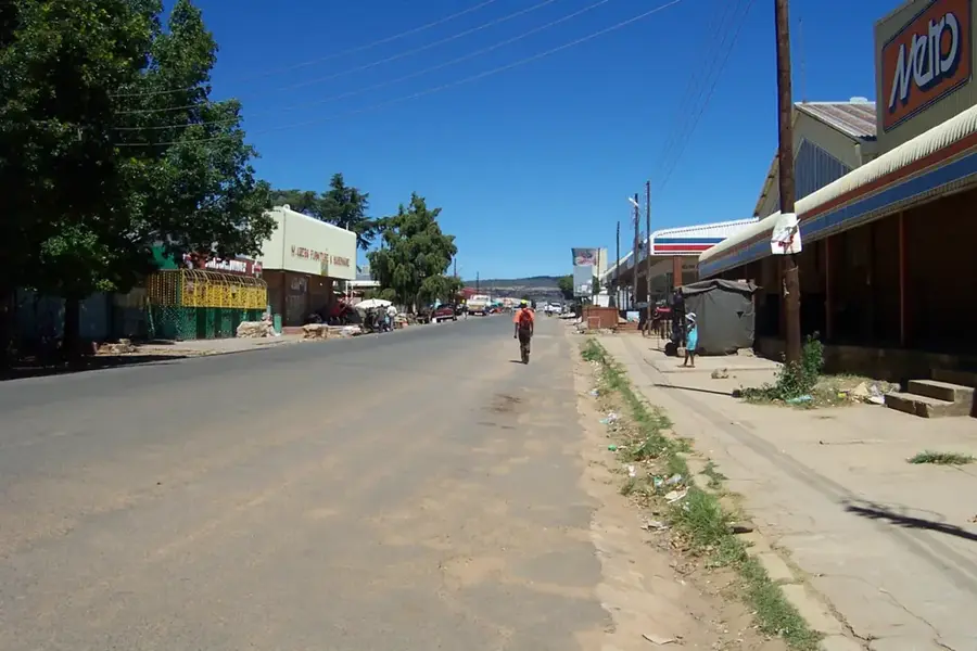
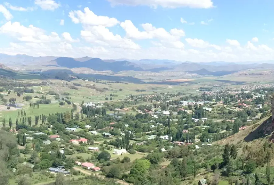
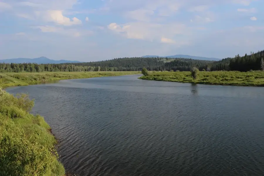
Butha-Buthe is located in northern Lesotho at the base of the namesake plateau and serves as the capital of the Butha-Buthe District. While formally established in 1884, its historical prominence dates back to the 1820s, when the Butha-Buthe Plateau served as the first mountain fortress of King Moshoeshoe I. During the Lifaqane wars, this strategic site provided sanctuary to the Basotho people against invading tribes before the seat of power was relocated to Thaba Bosiu. Geographically, the town is flanked by the Caledon River, which defines the border with South Africa, and serves as a vital gateway to the northern highlands and the Moteng Pass. Modern Butha-Buthe is a bustling commercial hub, benefiting from its position along the main transport artery connecting Maseru to the mountain interior. The economy relies heavily on agriculture, retail, and a growing tourism sector centered on nearby ski resorts and prehistoric dinosaur track sites.
- Location: Lesotho
- Nearby: Motiti (6 km)
- Population: ~40.599 (2026)
Best time to visit & climate
The most pleasant time to visit is Sep–Nov.
| Jan | Feb | Mar | Apr | May | Jun | Jul | Aug | Sep | Oct | Nov | Dec | |
|---|---|---|---|---|---|---|---|---|---|---|---|---|
| Avg °C | 14 | 14 | 12 | 9 | 5 | 2 | 2 | 5 | 8 | 11 | 12 | 14 |
| Rain mm | 193 | 155 | 115 | 65 | 16 | 14 | 12 | 23 | 32 | 82 | 115 | 163 |
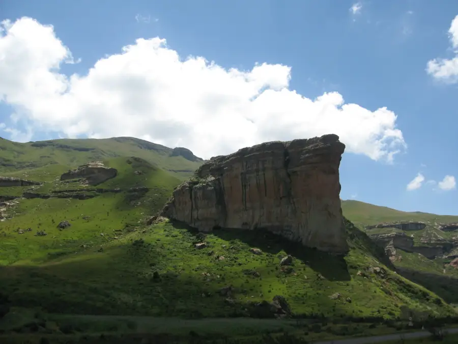
Geography
Facts
- Founded in 1884
- King Moshoeshoe's first fortress
- Elevation of 1700 meters
- Name means Place of Lying Down
- Gateway to Moteng Pass
- Located near the Caledon River
Explore nearby
Notable places around
Route planner — Car & Motorhome
Where do you start? We build the route here, with stops and country notes along the way.
© OpenStreetMap contributors · OpenRouteService
Frequently asked questions
Why is the place named Butha-Buthe?
What is the Liphofung Cultural Centre?
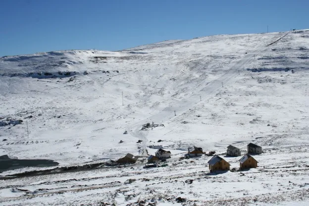
Can you reach Afriski Resort from here?
Are there gas stations in Butha-Buthe?
How family-friendly is the town?
Butha-Buthe: where is it located?
Butha-Buthe: when is the best time to visit?
Butha-Buthe: why is it worth visiting?

Nearby cities


History & landmarks
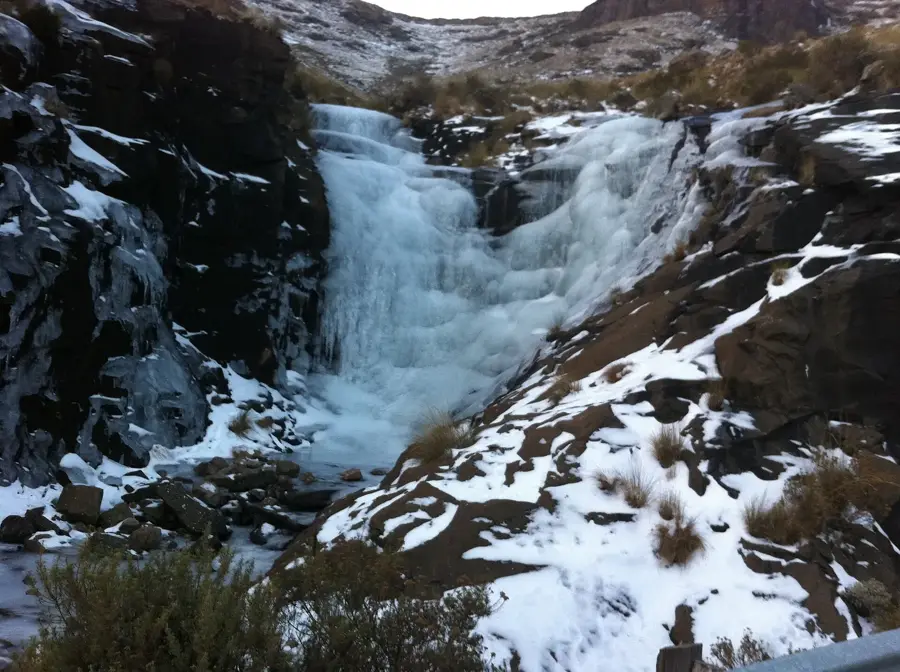
Nature

More places