Plizio Visual Lab
Phuthaditjhaba

ℹ️Practical info — Phuthaditjhaba
▾
🌤 Weather — 5 days
📍 Nearby
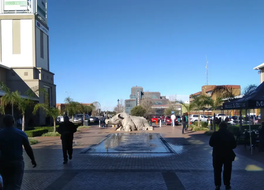
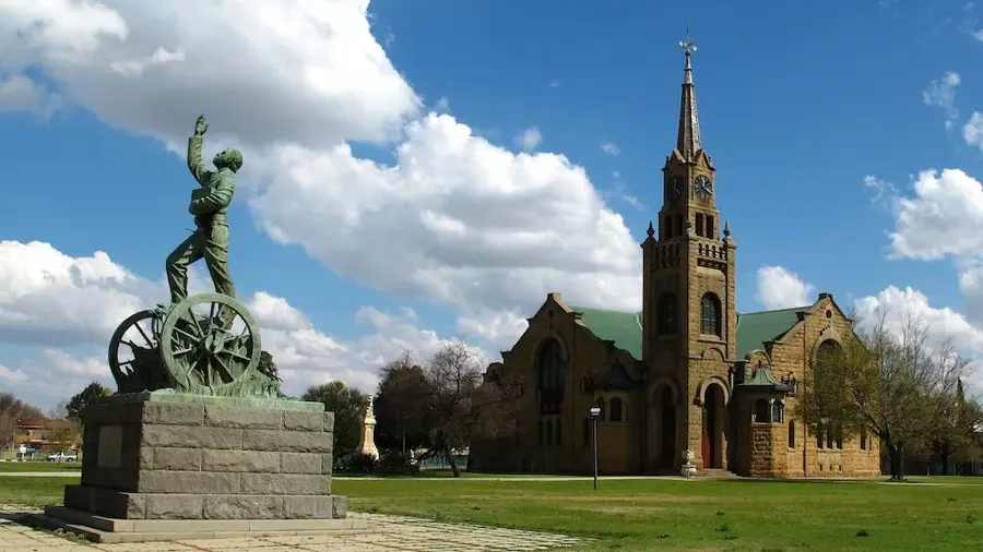
Sights nearby
💡 Tips
- Be prepared for the high altitude; Phuthaditjhaba is set in the Drakensberg foothills.
- Visit the nearby Basotho Cultural Village to learn about local traditions and architecture.
- Use the town as a starting point for hiking the Sentinel Peak and seeing the Tugela Falls.
- Dress in layers even in summer, as mountain weather can change very quickly.
- Exchange money at the larger shopping centers, as ATMs are less frequent in remote areas.
🍽 Food
Try the traditional 'pot-bread', which is often baked over an open fire.
This wild leaf vegetable is a healthy and local side dish to many meals.
A simple but popular local dish found at many street food stalls.
🛍 Shopping · 🧘 Quiet spots
Buy these traditional conical Basotho hats as an authentic souvenir.
Look for hand-woven rugs that often depict local mountain scenes and motifs.
The main hub for daily essentials and local services in the town.
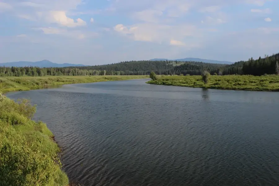
Provides quiet trails with spectacular views far from the town's noise.
Take a walk in the rolling hills surrounding the town for total silence.
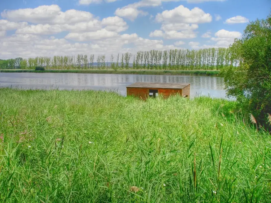
Find a quiet spot along the river for a relaxed morning.
Water temperature…
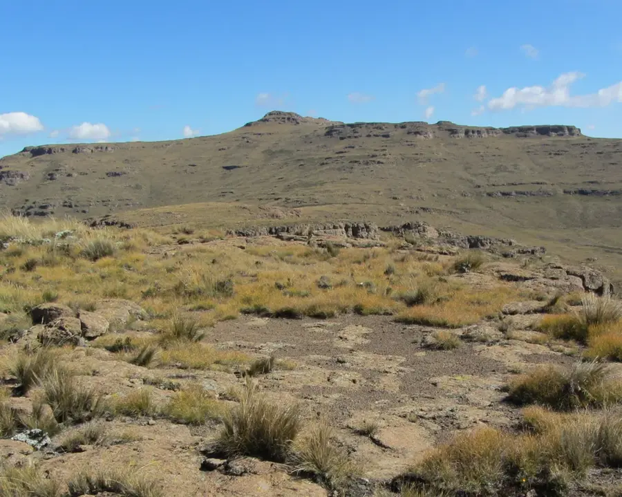
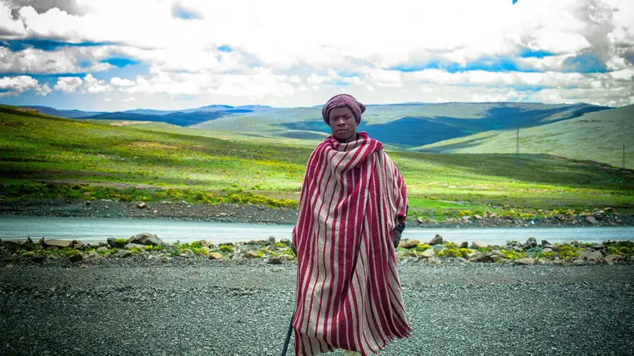
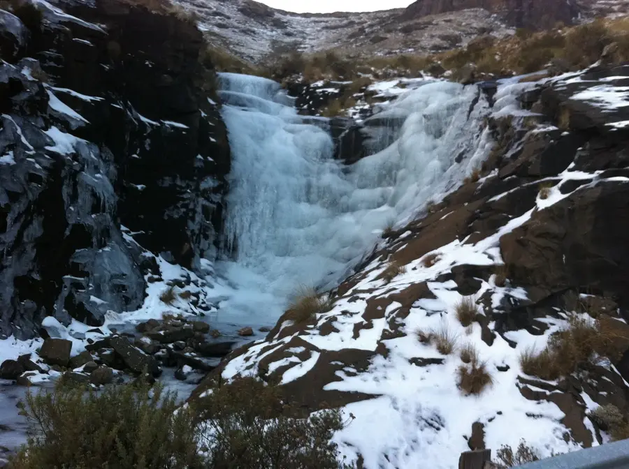
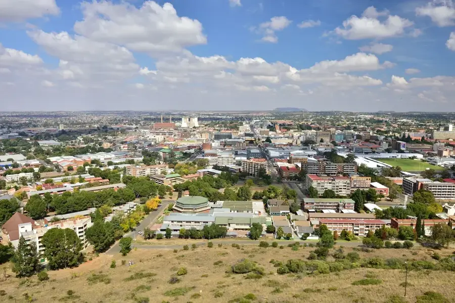
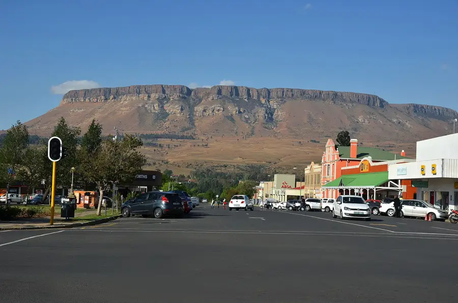
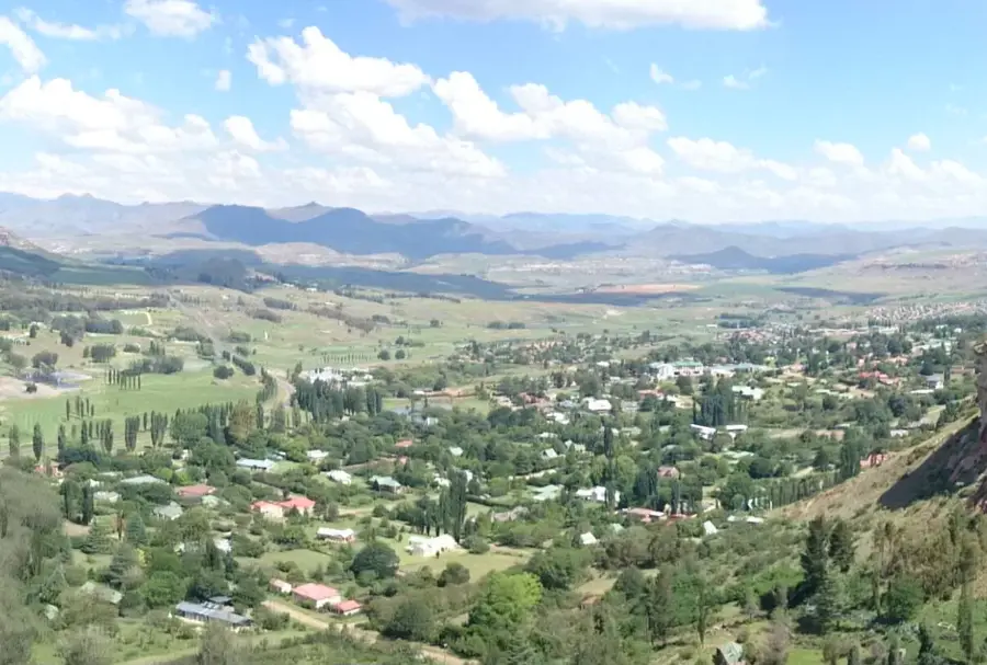
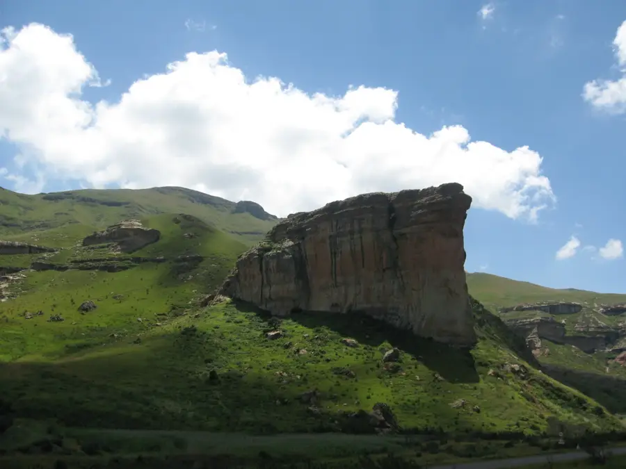
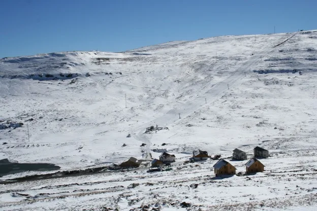
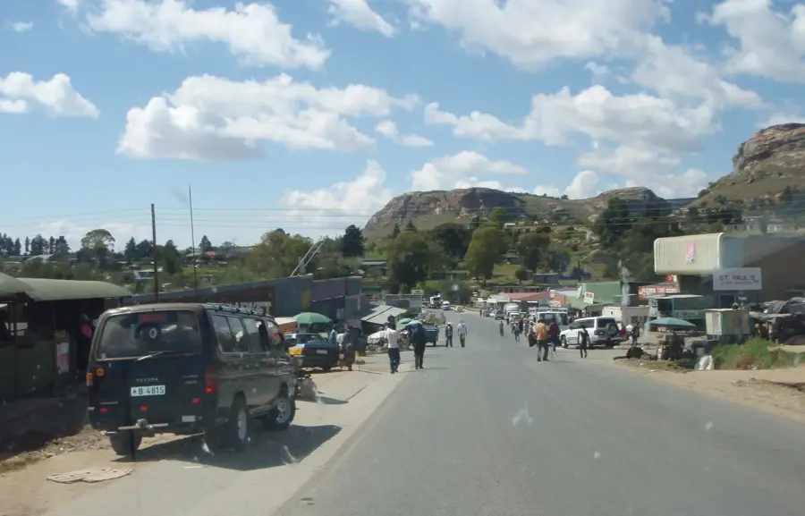
Phuthaditjhaba, meaning 'meeting place of the nations' in Sesotho, is set deep within the Maluti Mountains in the eastern Free State. The town previously served as the capital of the QwaQwa homeland and remains a significant cultural heartland for the Basotho people in South Africa. Geographically, it is surrounded by dramatic sandstone cliffs and high peaks, serving as the primary gateway to Sentinel Peak and the renowned Tugela Falls hiking trails. The local economy is driven by retail, government administration, and an expanding tourism sector that draws visitors to the nearby mountain reserves. Phuthaditjhaba is home to a campus of the University of the Free State, contributing a bustling academic presence to the town. The region is characterized by an alpine climate with severe winters, where snow frequently blankets the surrounding mountain summits. Traditional craftsmanship, specifically Basotho weaving and pottery, remains a vital part of the local cultural identity and local commerce.
- Location: South Africa
- Top sights: QwaQwa · Thabo Mofutsanyana District Municipality
- Nearby: Golden Gate (19 km)
- Population: ~84.258 (2024)
Best time to visit & climate
The most pleasant time to visit is Feb, Sep, Oct.
| Jan | Feb | Mar | Apr | May | Jun | Jul | Aug | Sep | Oct | Nov | Dec | |
|---|---|---|---|---|---|---|---|---|---|---|---|---|
| Avg °C | 18 | 17 | 15 | 12 | 9 | 6 | 6 | 8 | 12 | 15 | 16 | 17 |
| Rain mm | 156 | 122 | 102 | 54 | 14 | 13 | 12 | 21 | 30 | 80 | 109 | 140 |
Geography
Facts
- Former capital of the QwaQwa self-governing homeland.
- Situated at an average altitude of 1,646 meters.
- The name Phuthaditjhaba is of Sesotho origin.
- Gateway to the Golden Gate Highlands National Park.
- Home to the Qwaqwa campus of the University of the Free State.
- Close to the Mont-Aux-Sources peak, reaching 3,282 meters.
Explore nearby
Notable places around
Route planner — Car & Motorhome
Where do you start? We build the route here, with stops and country notes along the way.
© OpenStreetMap contributors · OpenRouteService
Sights in the town Phuthaditjhaba (2)
Frequently asked questions
How long to stay in Phuthaditjhaba?
Best time for a visit?
How to get to Phuthaditjhaba?
Are there culinary tips?
Is Phuthaditjhaba family-friendly?
Phuthaditjhaba: where is it located?
Phuthaditjhaba: what is there to see?
Phuthaditjhaba: when is the best time to visit?
Phuthaditjhaba: why is it worth visiting?

Nearby cities


History & landmarks
Nature

More places