Plizio Visual Lab
Maloti Mountains

Weather…
Water temperature…
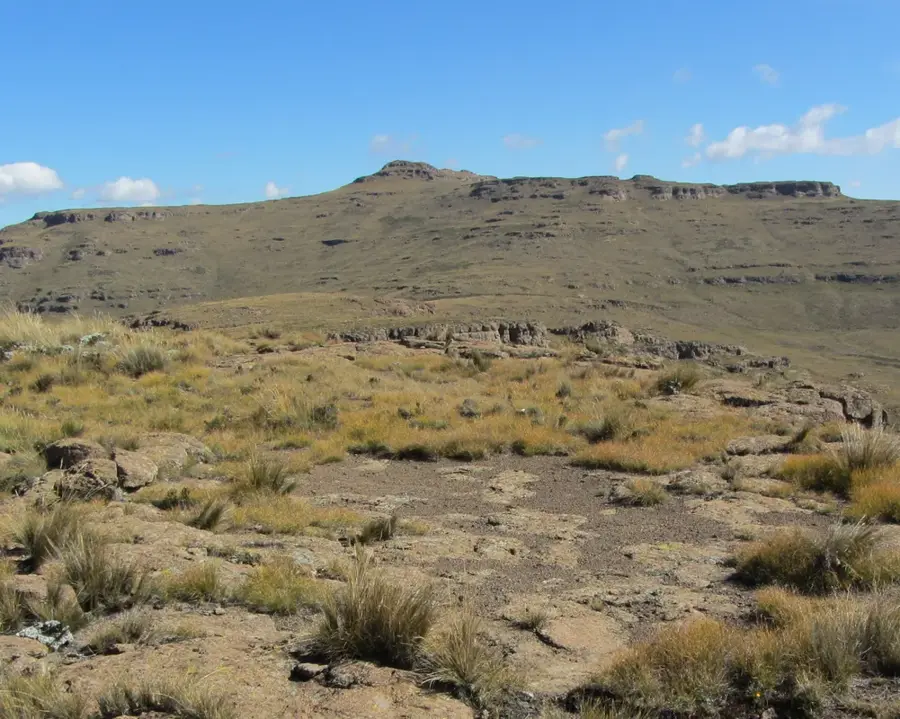
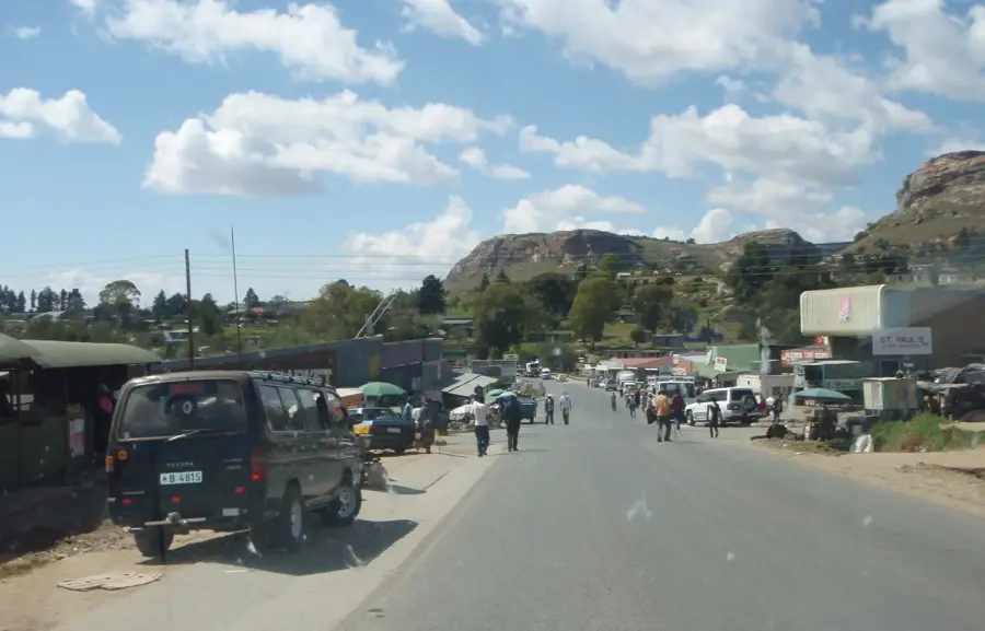
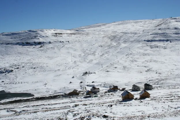
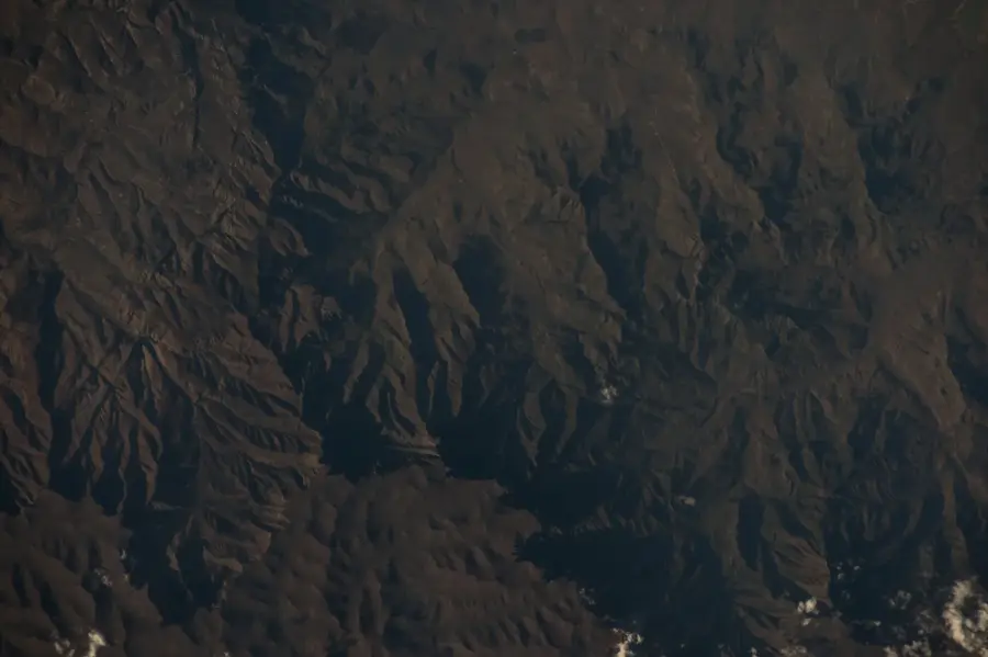
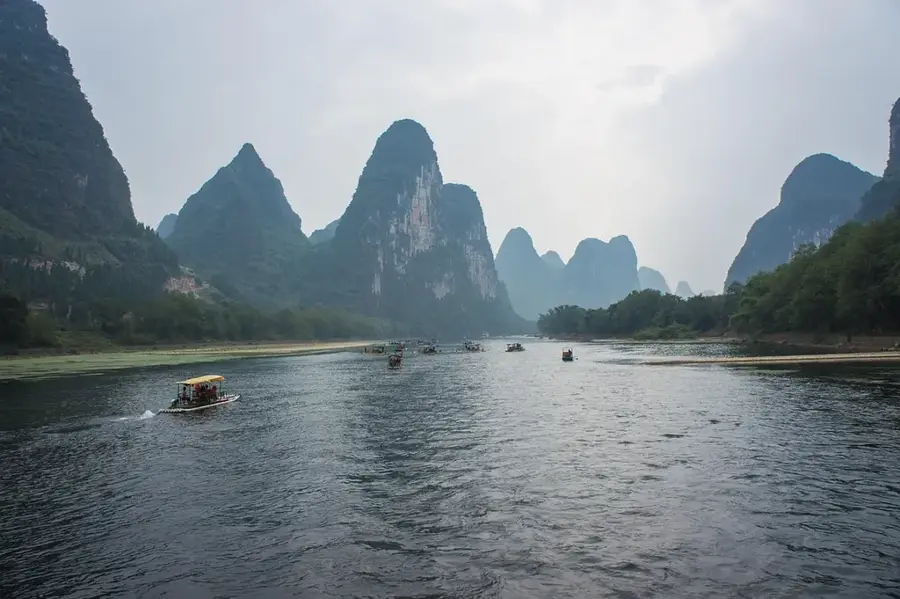
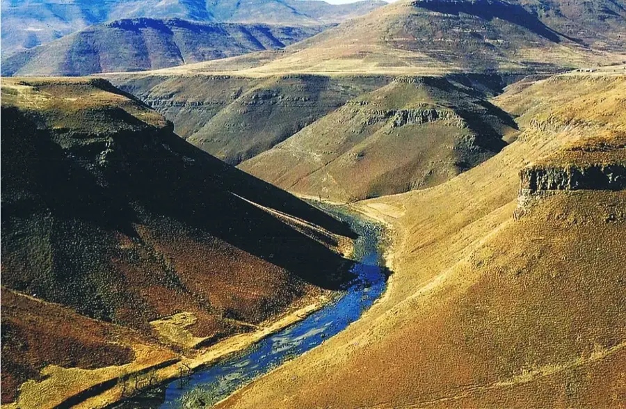
The Maloti Mountains form the spectacular backbone of Lesotho, covering more than two-thirds of the country's land area. As the western extension of the Drakensberg system, this range hosts some of the highest peaks in Africa south of Kilimanjaro. The landscape is characterized by deeply fractured valleys, rugged basalt cliffs, and expansive grassy plateaus that are regularly blanketed in snow during winter. Geologically, the mountains are of volcanic origin, composed of massive layers of flood basalt formed approximately 180 million years ago. The Maloti range acts as the primary "water tower" for Southern Africa, capturing moisture from the Indian Ocean to feed the headwaters of the Senqu (Orange) River. Historically, these mountains provided the Basotho people under King Moshoeshoe I with an impregnable natural fortress against invading tribes and colonial forces. Today, they are a sanctuary for hikers and adventurers seeking pristine wilderness and unique Afro-alpine flora. Numerous caves throughout the range contain ancient San rock art, bearing witness to the long human history within this awe-inspiring mountain world.
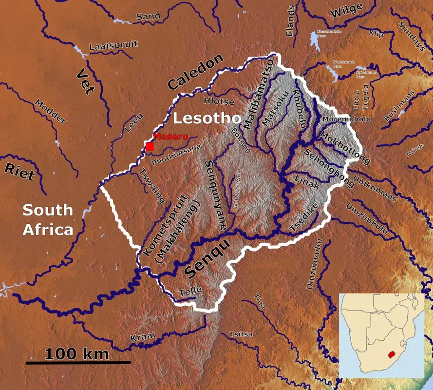
- Location: Lesotho
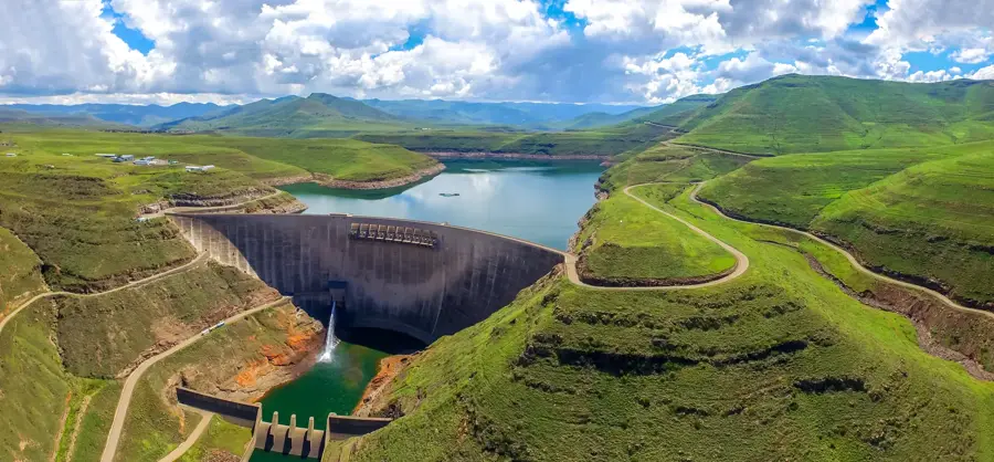
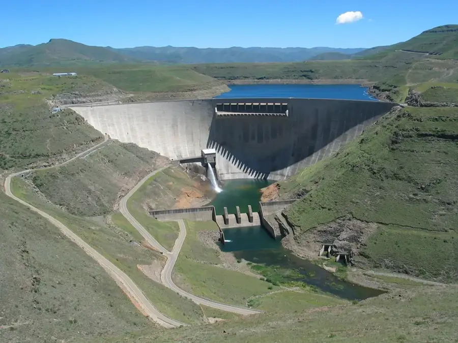
- Top sights: Water Intake Tower · View point - bridge
- Nearby: Ha Lejone (9 km)
Best time to visit & climate
The most pleasant time to visit is Sep–Nov.
| Jan | Feb | Mar | Apr | May | Jun | Jul | Aug | Sep | Oct | Nov | Dec | |
|---|---|---|---|---|---|---|---|---|---|---|---|---|
| Avg °C | 14 | 14 | 12 | 9 | 5 | 2 | 2 | 5 | 8 | 11 | 12 | 14 |
| Rain mm | 193 | 155 | 115 | 65 | 16 | 14 | 12 | 23 | 32 | 82 | 115 | 163 |
📋 Practical info
Geography
Facts
- Cover over 70% of the total land area of Lesotho.
- Include several peaks soaring above 3,400 meters.
- Primary water catchment area for the Orange River system.
- Home to ancient San rock art sites dating back millennia.
- Geologically composed of massive volcanic basalt layers.
- Sanctuary for the bearded vulture and unique alpine flora.
Explore nearby
Notable places around
Route planner — Car & Motorhome
Where do you start? We build the route here, with stops and country notes along the way.
© OpenStreetMap contributors · OpenRouteService
Sights in the town Maloti Mountains (2)
Sights nearby
Frequently asked questions
What are the Maloti Mountains?
Can you ski in the Maloti Mountains?
Are there cave paintings there?
Are the Maloti Mountains inhabited?
What equipment do you need for the mountains?
Maloti Mountains: where is it located?
Maloti Mountains: what is there to see?
Maloti Mountains: when is the best time to visit?
Maloti Mountains: why is it worth visiting?

Nearby cities


History & landmarks

Nature

More places