Plizio Visual Lab
Motiti

ℹ️Practical info — Motiti
▾
🌤 Weather — 5 days
📍 Nearby
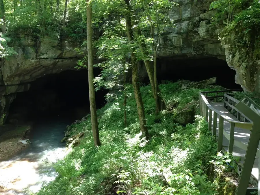
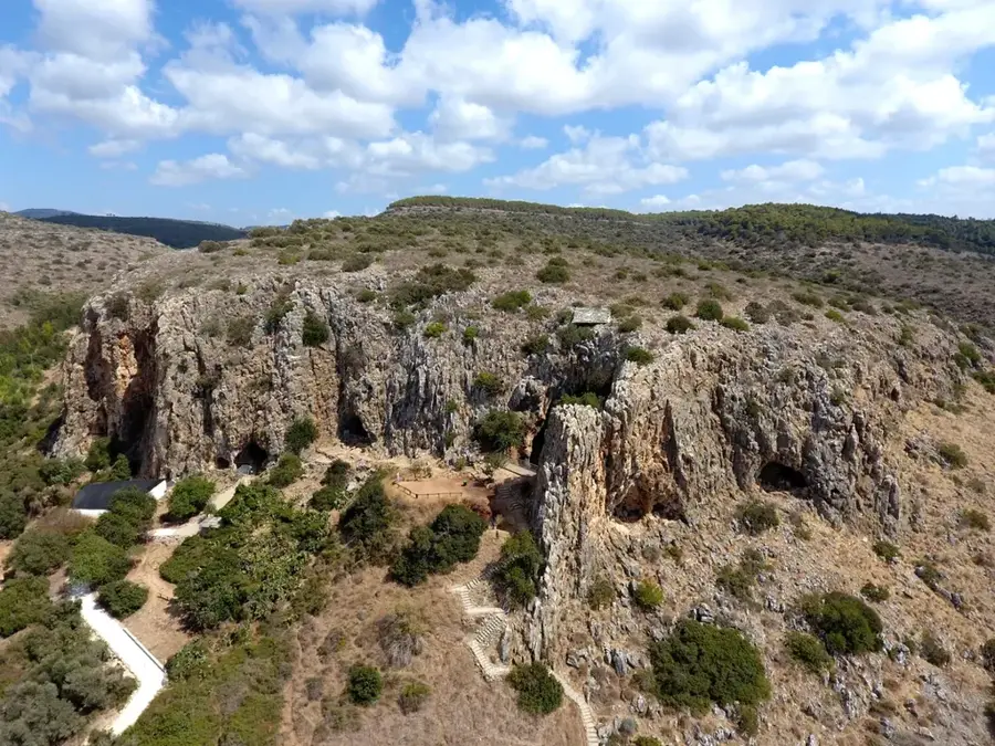
Sights nearby
💡 Tips
- Minibus taxis to Butha-Buthe fill up quickly; be prepared to wait if you travel off-peak.
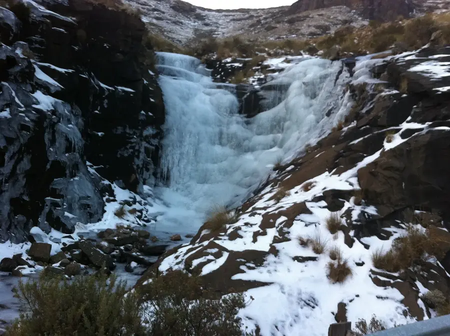
- Winters (June-August) are freezing here, so thermal clothing is a must.
- Always ask for permission before taking photographs of residents or their homesteads.
- Support the local economy by buying snacks from small 'spaza' shops.
🍽 Food
Look for roadside vendors grilling fresh meat over open fires, usually served with maize porridge.
A spicy vegetable relish served with thick maize meal, often found near the taxi rank.
Grab some hot fat cakes early in the morning before they sell out.
🛍 Shopping · 🧘 Quiet spots
Buy locally grown peaches or apples from roadside vendors during the harvest season.
Support local women selling traditional grass brooms and small baskets.
Walk along the unpaved roads leading out of town for peaceful countryside views.
Hike up the lower slopes of the nearby mountains for a quiet escape and great photos.
Water temperature…
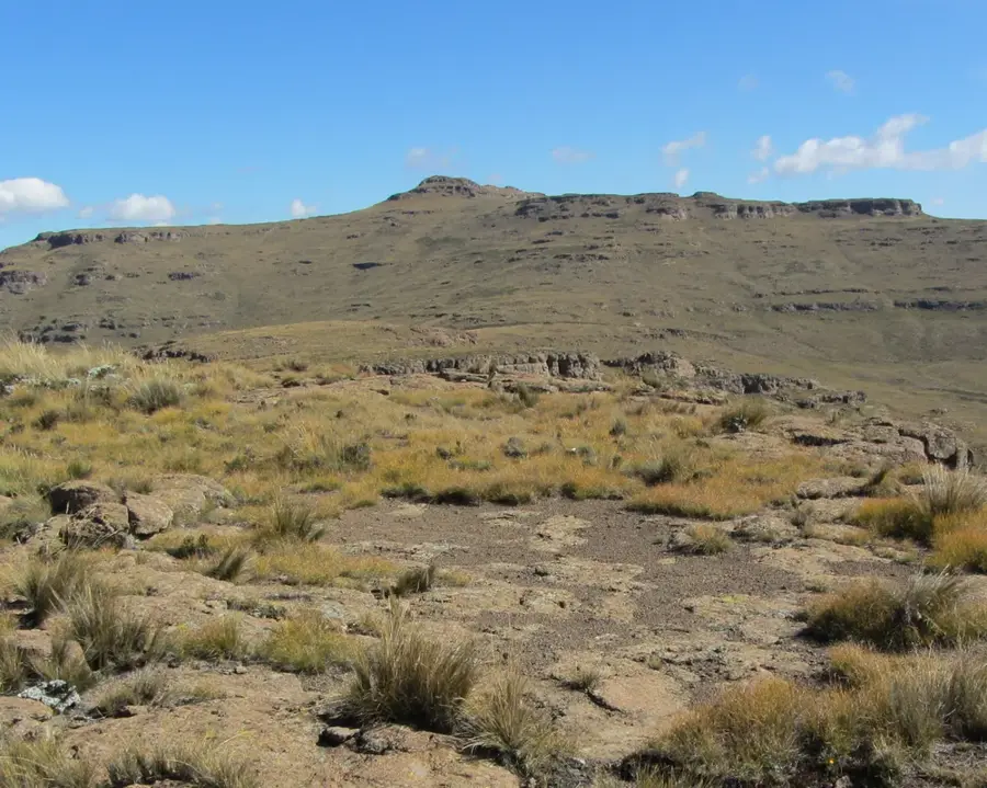
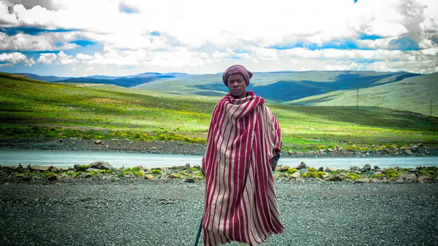
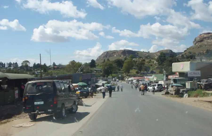
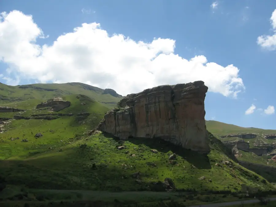
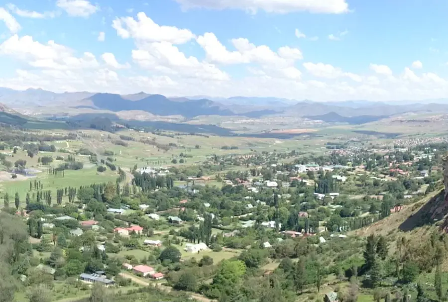
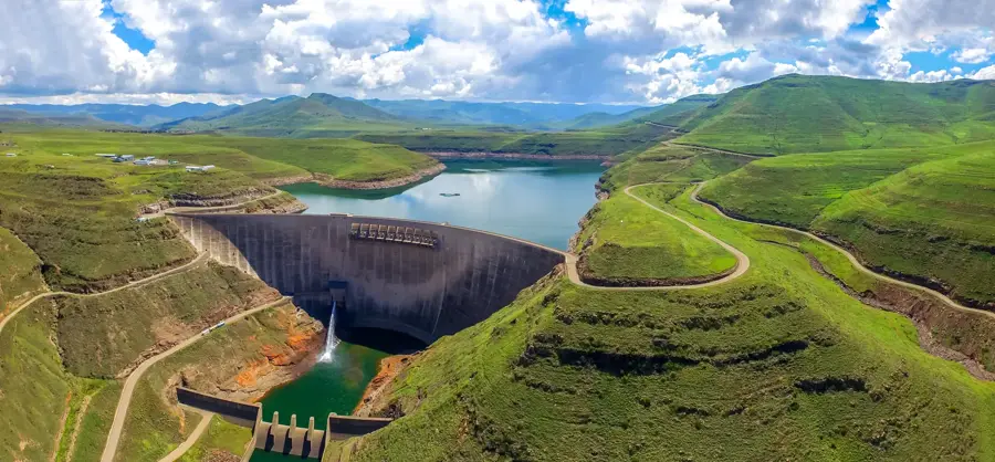
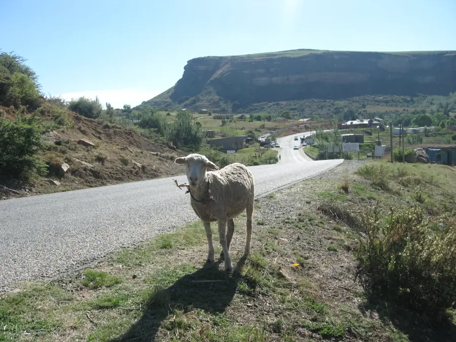
Motiti is a pretty village in the Leribe District, one of Lesotho's most populous and economically significant regions. The settlement is located within a hilly landscape characterized by erosion-carved valleys and fertile plateaus. In local history, the Leribe area is renowned for its early missionary work and its role as an educational hub, influences that have also shaped smaller places like Motiti. Agriculture forms the backbone of the local economy, where, alongside the cultivation of staple crops, cattle rearing plays a central role, serving as both a financial asset and a status symbol. Proximity to the regional capital, Hlotse, grants residents access to larger markets and healthcare services. Motiti embodies the balance between a traditional rural lifestyle and the increasing integration into Lesotho's national infrastructure.
- Location: Lesotho
- Nearby: Butha-Buthe (6 km)
Best time to visit & climate
The most pleasant time to visit is Sep–Nov.
| Jan | Feb | Mar | Apr | May | Jun | Jul | Aug | Sep | Oct | Nov | Dec | |
|---|---|---|---|---|---|---|---|---|---|---|---|---|
| Avg °C | 14 | 14 | 12 | 9 | 5 | 2 | 2 | 5 | 8 | 11 | 12 | 14 |
| Rain mm | 193 | 155 | 115 | 65 | 16 | 14 | 12 | 23 | 32 | 82 | 115 | 163 |
Geography
Facts
- Administratively belongs to the Leribe District in northern Lesotho.
- The average elevation is approximately 1750 meters.
- Maize cultivation is the primary agricultural activity in the village.
- The region is known for its traditional Basotho grass handicrafts.
- Located near the A1 highway, which connects the northern regions.
- Water scarcity during the winter months is a common challenge.
Explore nearby
Notable places around
Route planner — Car & Motorhome
Where do you start? We build the route here, with stops and country notes along the way.
© OpenStreetMap contributors · OpenRouteService
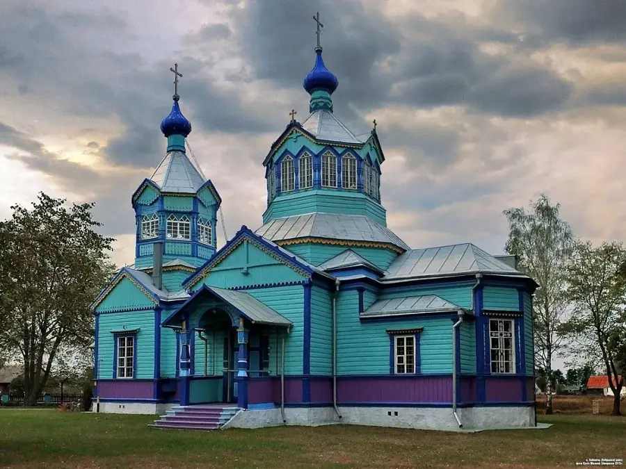
Sights in the town Motiti (1)
Frequently asked questions
What characterizes Motiti?
Is there a school there?
Can tourists visit Motiti?
What is the main source of income for residents?
What is the water supply like in Motiti?
Motiti: where is it located?
Motiti: when is the best time to visit?
Motiti: why is it worth visiting?

Nearby cities


History & landmarks
Nature

More places