Plizio Visual Lab
Makhonoane
ℹ️Practical info — Makhonoane
▾
🌤 Weather — 5 days
📍 Nearby
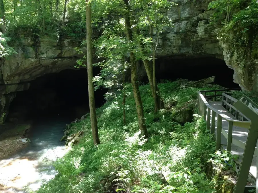
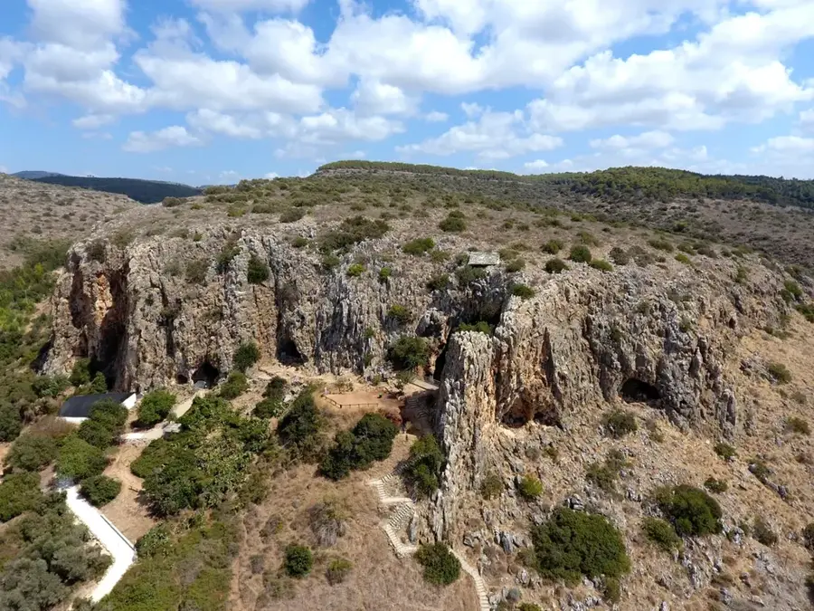
Sights nearby
💡 Tips
- Weather in the northern highlands changes quickly, always carry a warm layer.
- Bring enough cash, as ATMs are rare in smaller towns.
- Local taxis (minibuses) are most active in the early morning.
- Always greet locals with 'Khotso' (peace) before asking for directions.
🍽 Food
Try the staple maize porridge with wild greens at a local food stall.
Grab these sweet fat cakes from street vendors for a quick breakfast.
A sour sorghum porridge, often sold in small local shops.
🛍 Shopping · 🧘 Quiet spots
Look for local artisans selling traditional hats or mats near the main road.
Buy seasonal vegetables directly from farmers near the transport hub.
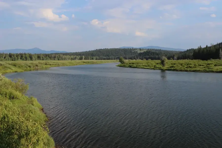
Take a walk into the nearby hills for a peaceful view of the valley.
Follow the small waterways outside the town for a quiet afternoon.
Water temperature…
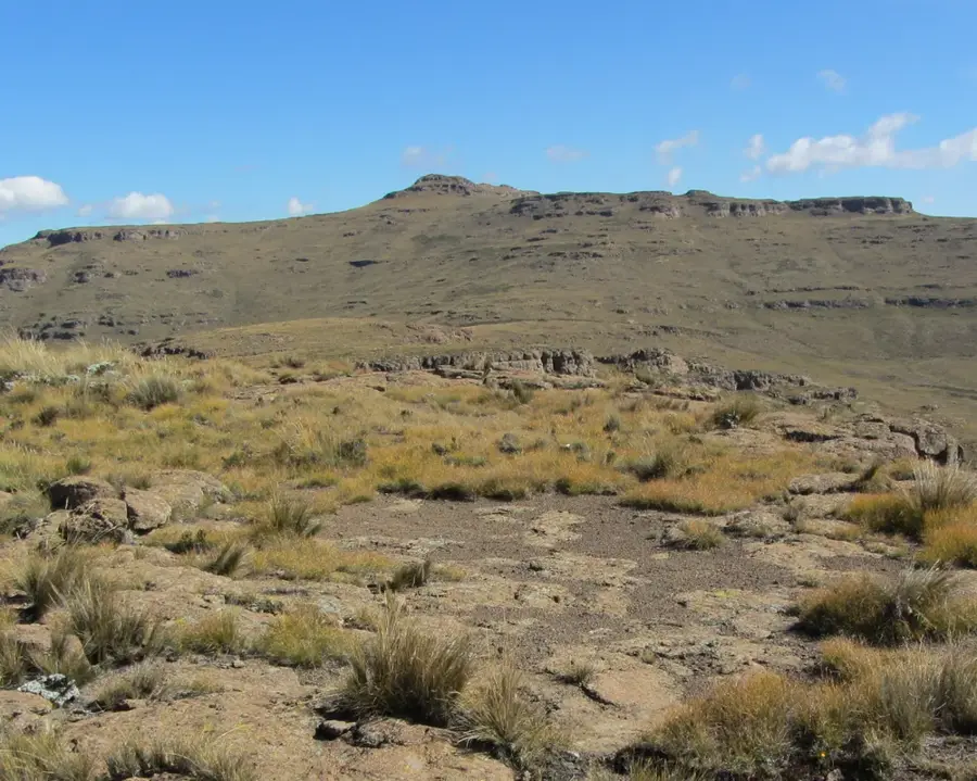
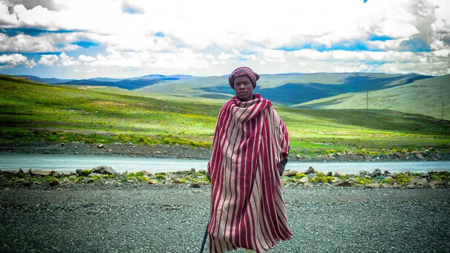
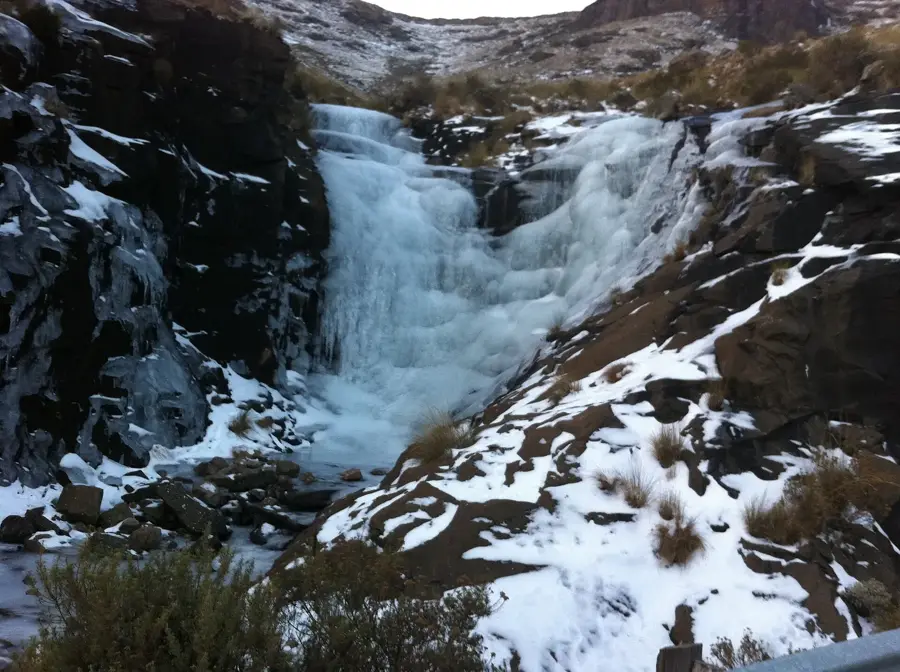
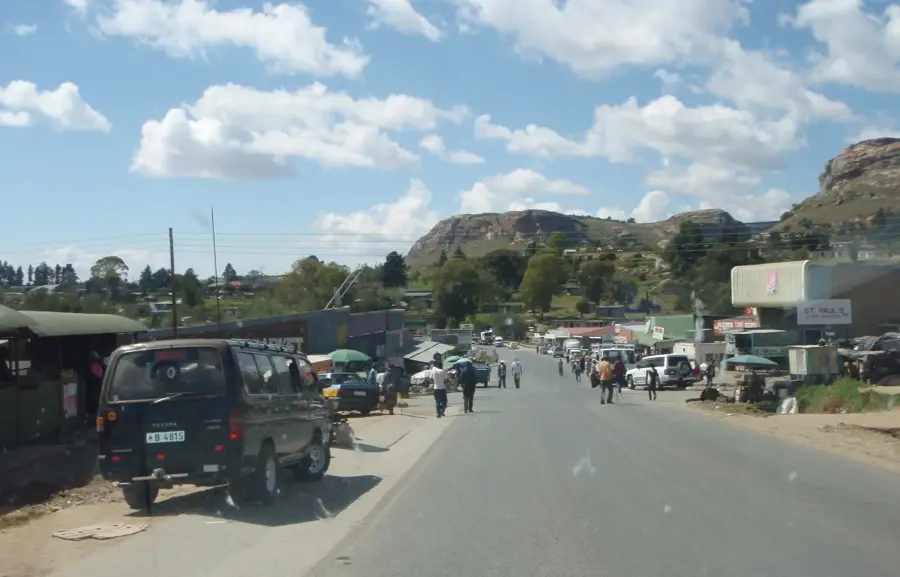
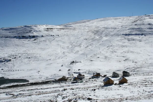
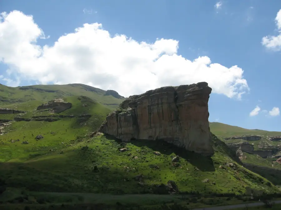
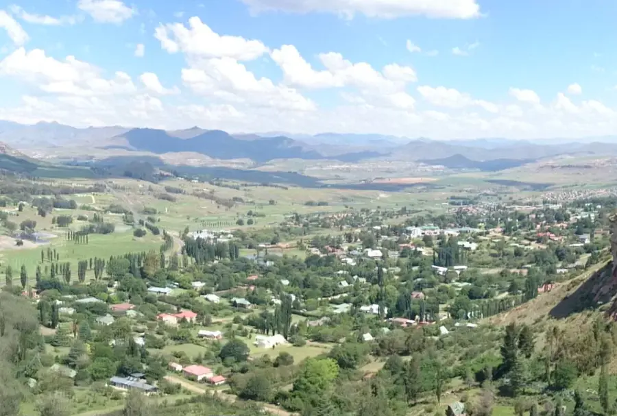
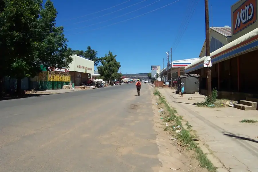
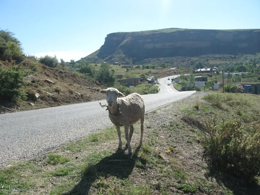
Makhonoane is a rural settlement in the Butha-Buthe District, the northernmost district of the Kingdom of Lesotho. The region is known for its rugged beauty and its location at the foothills of the Maloti Mountains, which gives it a cooler climate than the western lowlands. Historically, the area is closely linked to the early migrations of the Basotho people and the defensive strategies of King Moshoeshoe I, who used Butha-Buthe as his first stronghold. The economy of Makhonoane is primarily based on livestock farming, particularly sheep and goats, whose wool and mohair are important export commodities. Due to its elevation and proximity to the mountains, the village often serves as a starting point for local hikes and access to remote mountain settlements. The community maintains traditional rondavel architecture, which is perfectly adapted to the climatic conditions of the region.
- Location: Lesotho
- Nearby: Butha-Buthe (13 km)
Best time to visit & climate
The most pleasant time to visit is Feb, Sep, Oct.
| Jan | Feb | Mar | Apr | May | Jun | Jul | Aug | Sep | Oct | Nov | Dec | |
|---|---|---|---|---|---|---|---|---|---|---|---|---|
| Avg °C | 18 | 17 | 15 | 12 | 9 | 6 | 6 | 8 | 12 | 15 | 16 | 17 |
| Rain mm | 156 | 122 | 102 | 54 | 14 | 13 | 12 | 21 | 30 | 80 | 109 | 140 |
Geography
Facts
- Located in the Butha-Buthe District in northern Lesotho.
- Situated at an elevation of approximately 1800 meters above sea level.
- The region is a key center for the production of mohair wool.
- Prehistoric dinosaur footprints can be found in the surrounding area.
- The area was the site of border conflicts during the 19th century.
- Traditional Basotho blankets are deeply rooted in the local culture.
Explore nearby
Notable places around
Route planner — Car & Motorhome
Where do you start? We build the route here, with stops and country notes along the way.
© OpenStreetMap contributors · OpenRouteService
Frequently asked questions
Where is Makhonoane located?
What can you do in Makhonoane?
Are the roads to Makhonoane paved?
Are there tourist facilities there?
When is the best time to visit?
Makhonoane: where is it located?
Makhonoane: when is the best time to visit?
Makhonoane: why is it worth visiting?

Nearby cities


History & landmarks
Nature

More places