Plizio Visual Lab
Ha Lejone

ℹ️Practical info — Ha Lejone
▾
🌤 Weather — 5 days
📍 Nearby
Sights nearby
💡 Tips
- Stop at the designated viewpoint above the village for spectacular panoramic photos of the blue reservoir.
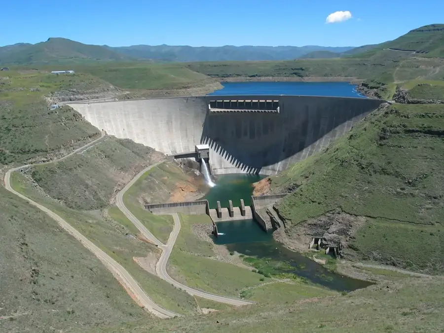
- The small village is the excellent, strategic stopover to stretch your legs on the way to the imposing Katse Dam wall.
- The winding mountain roads leading here require maximum concentration when driving; be absolutely prepared for ice and snow in winter.
- Ask at the local cooperative or your lodge about the best current hiking routes in the surrounding mountain landscape.
🍽 Food
Order excellent, freshly caught fish from the reservoir at the lodges and guesthouses along the water.
Try this slightly sour, traditionally fermented drink that is very popular in the villages of the region.
Many accommodations offer sociable, open-fire barbecue evenings with good local meat products.
🛍 Shopping · 🧘 Quiet spots
The region is known nationwide for its weaving art; look for extremely warm, locally made scarves and blankets.
Locals often sell small wood carvings and jewelry directly at the popular scenic parking spots.
Walk down narrow paths right to the blue water and enjoy the absolute silence of the mountain landscape.
Drive a short distance back up to the pass into this reserve for untouched, high-alpine tranquility and endless views.
Water temperature…
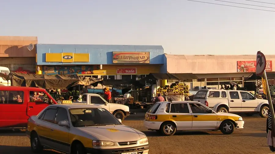
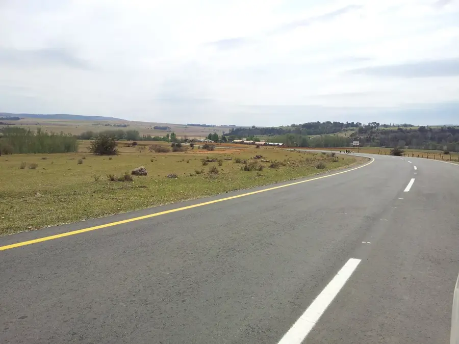
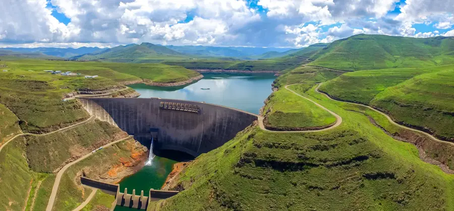
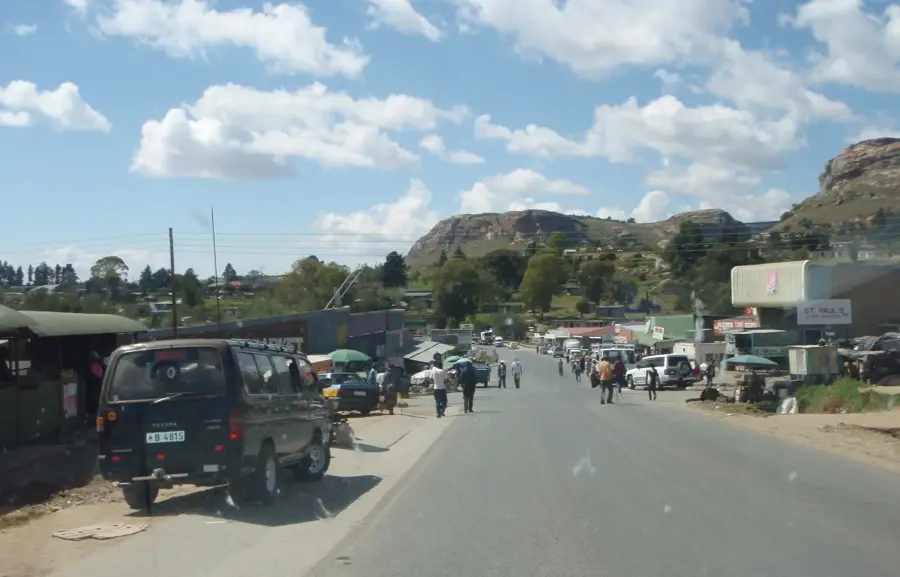
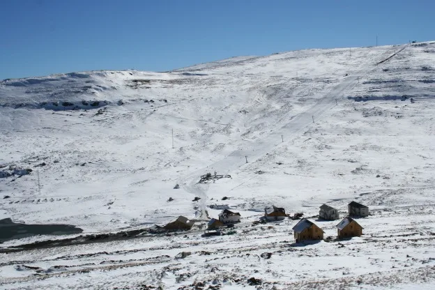
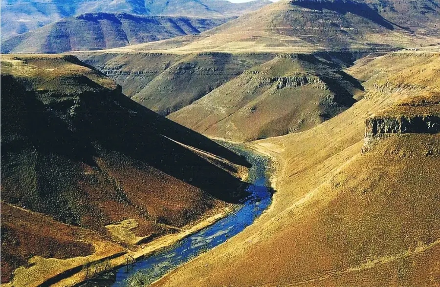
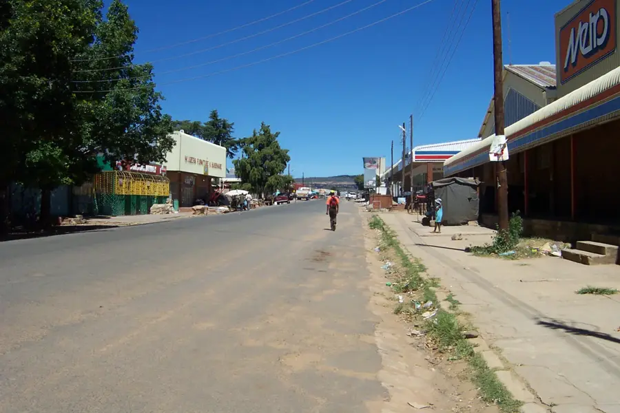
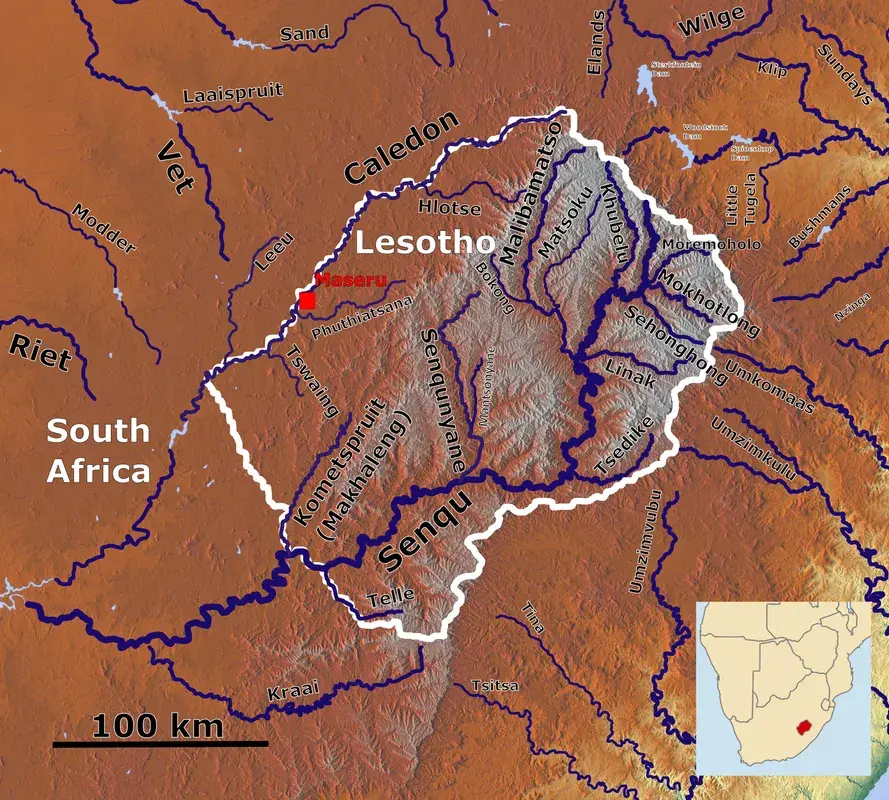
Ha Lejone is a significant village in the Leribe District highlands, situated at the northern reaches of the Katse Reservoir. The settlement gained prominence through the Lesotho Highlands Water Project (LHWP), as it sits directly on the shores of the massive reservoir fed by the Malibamatšo River. Geographically, the village is surrounded by majestic peaks rising above 2500 meters, making it one of the coldest spots in the country during winter. The local economy has been transformed by the water project; alongside traditional farming, tourism and commercial trout farming now play an increasing role. An impressive bridge spans the reservoir here, connecting the region to the eastern parts of the country. Ha Lejone is a prime example of Lesotho's modern development, where traditional village life intersects with large-scale engineering projects.
- Location: Lesotho
- Nearby: Bokong Nature Reserve (9 km)
- Population: ~2.178 (2023)
Best time to visit & climate
The most pleasant time to visit is Sep–Nov.
| Jan | Feb | Mar | Apr | May | Jun | Jul | Aug | Sep | Oct | Nov | Dec | |
|---|---|---|---|---|---|---|---|---|---|---|---|---|
| Avg °C | 14 | 14 | 12 | 9 | 5 | 2 | 2 | 5 | 8 | 11 | 12 | 14 |
| Rain mm | 193 | 155 | 115 | 65 | 16 | 14 | 12 | 23 | 32 | 82 | 115 | 163 |
Geography
Facts
- Located on the northern shores of the Katse Reservoir in Leribe District.
- Elevation of approximately 2100 meters above sea level.
- A key location for commercial trout farming in Lesotho.
- The Ha Lejone Bridge is a major architectural feature of the area.
- Often serves as a starting point for treks into the Maloti Mountains.
- Snowfall is very frequent between the months of June and August.
Explore nearby
Notable places around
Route planner — Car & Motorhome
Where do you start? We build the route here, with stops and country notes along the way.
© OpenStreetMap contributors · OpenRouteService
Frequently asked questions
What is the main attraction of Ha Lejone?
Can you catch trout there?
How do you reach Ha Lejone?
Are there boat trips on the reservoir?
What clothing should I bring?
Ha Lejone: where is it located?
Ha Lejone: when is the best time to visit?
Ha Lejone: why is it worth visiting?

Nearby cities


History & landmarks

Nature

More places