Plizio Visual Lab
Cayambe
Weather…
Water temperature…
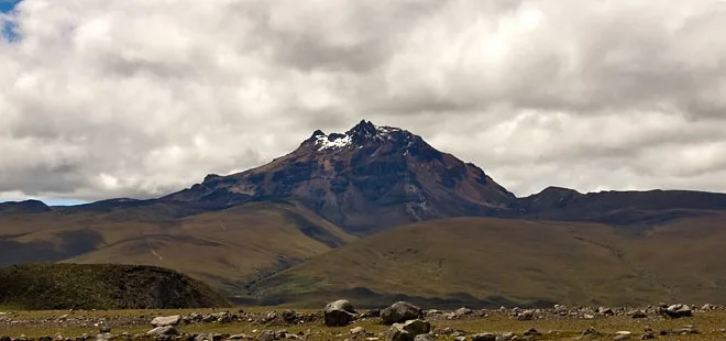
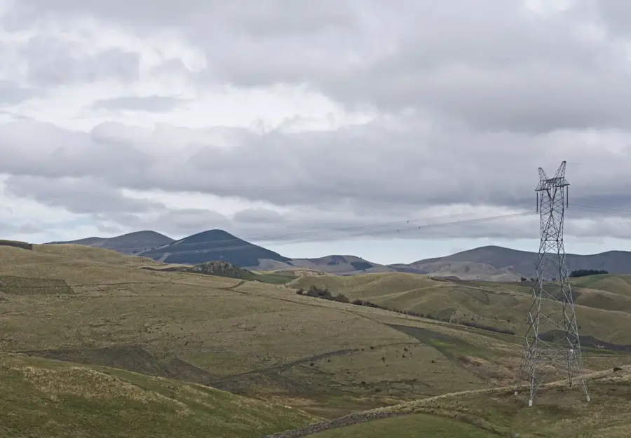
Cayambe is a massive, glacier-covered volcano in the Central Cordillera of the Ecuadorian Andes and stands as the country's third-highest peak at 5,790 meters (18,996 feet). A unique geographical distinction of Cayambe is that the Equator passes directly across its southern slope; this is the only point on Earth where the equatorial line crosses permanent snow and ice. The volcano is a complex stratovolcano whose last major eruption occurred in 1785, and it is currently classified as potentially active. Climbing Cayambe is considered more technically demanding than climbing Cotopaxi due to its extensive crevasse systems and unpredictable weather patterns. It lies within the Cayambe-Coca Ecological Reserve, a vast protected area that spans diverse ecosystems from high-altitude paramo to the edges of the Amazon basin. Historically, the mountain was a sacred site for the pre-Columbian Cayambi culture, who worshipped the volcano as a powerful deity and a source of life-giving water.
- Location: Ecuador
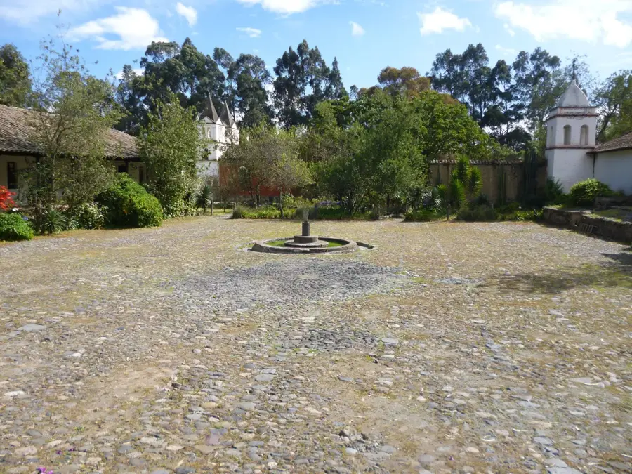
- Top sights: Mirador · Golondrinas Hot springs · las golondrinas
- Nearby: Cayambe (18 km)
Best time to visit & climate
The most pleasant time to visit is Jul–Sep.
| Jan | Feb | Mar | Apr | May | Jun | Jul | Aug | Sep | Oct | Nov | Dec | |
|---|---|---|---|---|---|---|---|---|---|---|---|---|
| Avg °C | 11 | 11 | 11 | 11 | 10 | 9 | 9 | 9 | 10 | 11 | 11 | 11 |
| Rain mm | 117 | 122 | 151 | 164 | 122 | 71 | 52 | 37 | 50 | 93 | 111 | 107 |
📋 Practical info
Geography
Facts
- Cayambe reaches a peak elevation of 5,790 meters.
- The Equator crosses the mountain at an altitude of 4,690 meters.
- The first recorded ascent was by Edward Whymper in 1880.
- The volcano's last major eruption was in 1785.
- It is the highest point on the planet through which the Equator passes.
- The mountain features an extensive glacier system covering its peak.
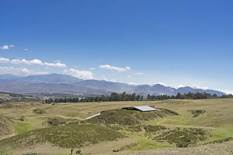
Explore nearby
Notable places around
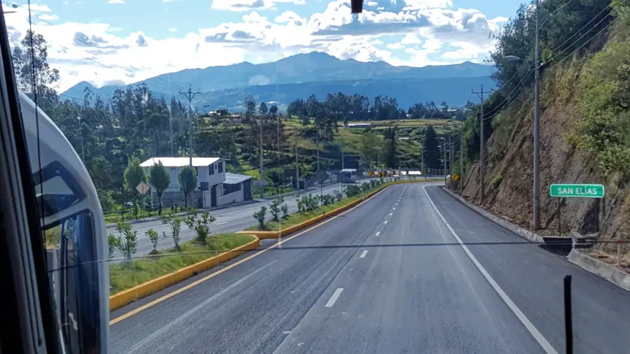
Route planner — Car & Motorhome
Where do you start? We build the route here, with stops and country notes along the way.
© OpenStreetMap contributors · OpenRouteService
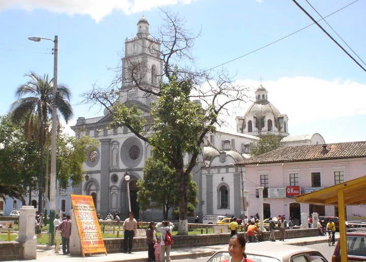
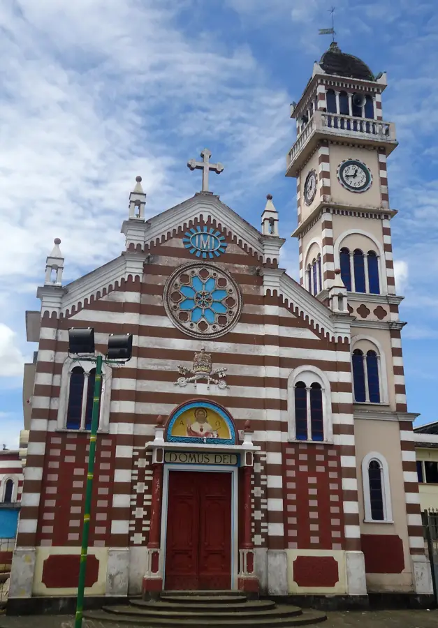
Sights in the town Cayambe (3)
Sights nearby
Frequently asked questions
What is special about Cayambe's location?
Is the climb difficult?
Is there a refuge on the mountain?
What is the town of Cayambe known for?
When should the climb be attempted?
Cayambe: where is it located?
Cayambe: what is there to see?
Cayambe: when is the best time to visit?
Cayambe: why is it worth visiting?

Nearby cities


History & landmarks


More places