Plizio Visual Lab
Imbabura Volcano
Weather…
Water temperature…
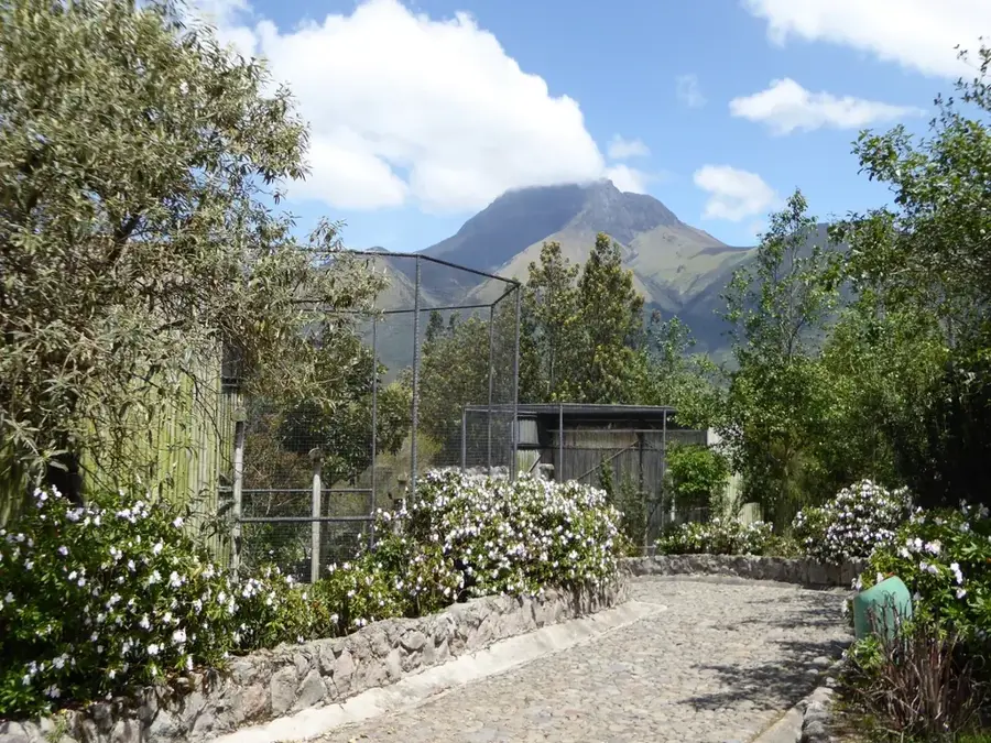
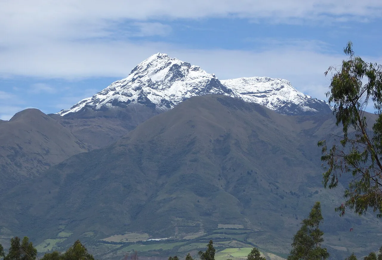
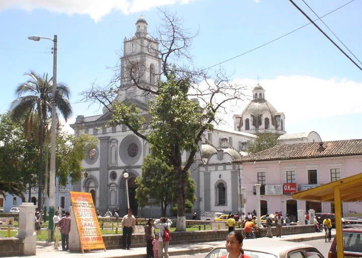
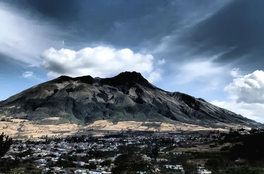
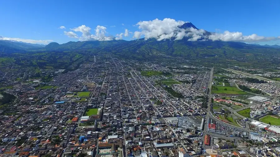
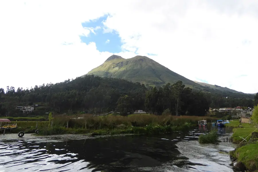
Imbabura Volcano is an inactive stratovolcano in northern Ecuador, towering majestically over the city of Otavalo and San Pablo Lake. Reaching an elevation of 4630 meters, it holds central importance in the identity and mythology of local indigenous communities, who revere it as 'Taita Imbabura' (Father Imbabura). Geologically, Imbabura is a complex volcanic structure with multiple craters and lava domes, with its last known eruption occurring approximately 14,000 years ago. The volcano's fertile slopes are cultivated at significant altitudes, where corn and potato fields characterize the local landscape. In the higher regions, the vegetation transitions into typical páramo ecosystems, often shrouded in dense clouds and mist. The mountain is known for its unpredictable weather conditions and the steep, challenging trails leading to its summit. From the highest point, climbers are rewarded with spectacular views of nearby peaks such as Cayambe and Cotacachi, as well as the deep blue waters of San Pablo Lake below. Imbabura is not only a geological monument but also a spiritual landmark, serving as a site for numerous annual ceremonies and pilgrimages.
- Location: Ecuador
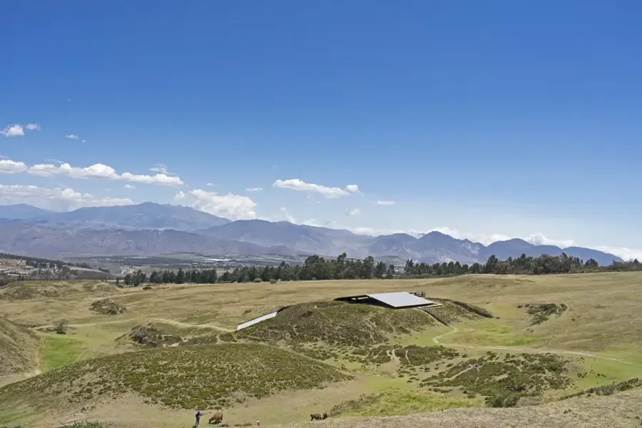
- Top sights: Tolas de San Clemente · Imbabura Volcano · Refugio Volcán Imbabura
- Nearby: Atuntaqui (5 km)
Best time to visit & climate
The most pleasant time to visit is Jul–Sep.
| Jan | Feb | Mar | Apr | May | Jun | Jul | Aug | Sep | Oct | Nov | Dec | |
|---|---|---|---|---|---|---|---|---|---|---|---|---|
| Avg °C | 13 | 13 | 13 | 13 | 13 | 12 | 12 | 13 | 13 | 13 | 13 | 13 |
| Rain mm | 104 | 105 | 132 | 148 | 108 | 59 | 40 | 26 | 40 | 81 | 103 | 98 |
📋 Practical info
Geography
Facts
- Imbabura has been inactive for about 14,000 years.
- The mountain is seen as the region's protector in local mythology.
- The village of La Esperanza is located on its slopes.
- The climb to the summit takes approximately 6 to 8 hours.
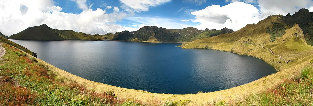
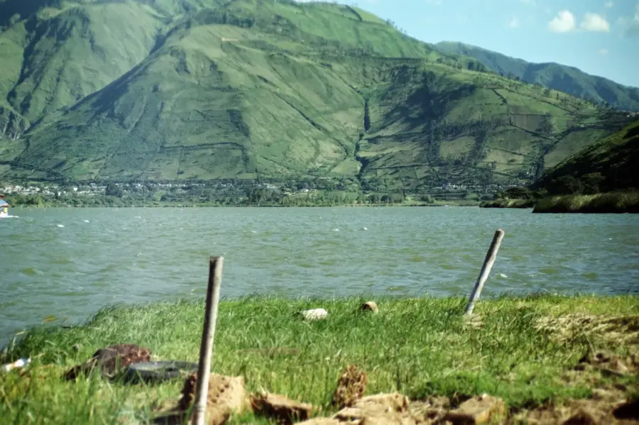
- San Pablo Lake was formed by volcanic blockages.
- There are no permanent glaciers on Imbabura.
Explore nearby
Notable places around
Route planner — Car & Motorhome
Where do you start? We build the route here, with stops and country notes along the way.
© OpenStreetMap contributors · OpenRouteService
Sights in the town Imbabura Volcano (9)
Sights nearby
Frequently asked questions
Why is Imbabura important to the locals?
Can you see the volcano from Otavalo?
How high is it?
Is the hike strenuous?
When is the best visibility?
Imbabura Volcano: where is it located?
Imbabura Volcano: what is there to see?
Imbabura Volcano: when is the best time to visit?
Imbabura Volcano: why is it worth visiting?

Nearby cities

History & landmarks

Nature
More places