Plizio Visual Lab
Cayambe

ℹ️Practical info — Cayambe
▾
🌤 Weather — 5 days
📍 Nearby
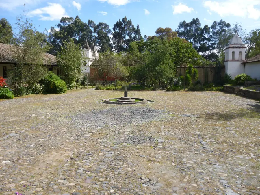
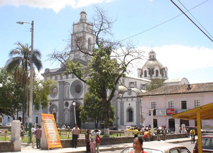
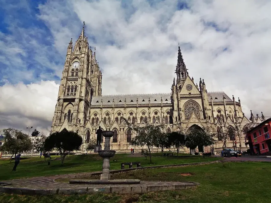
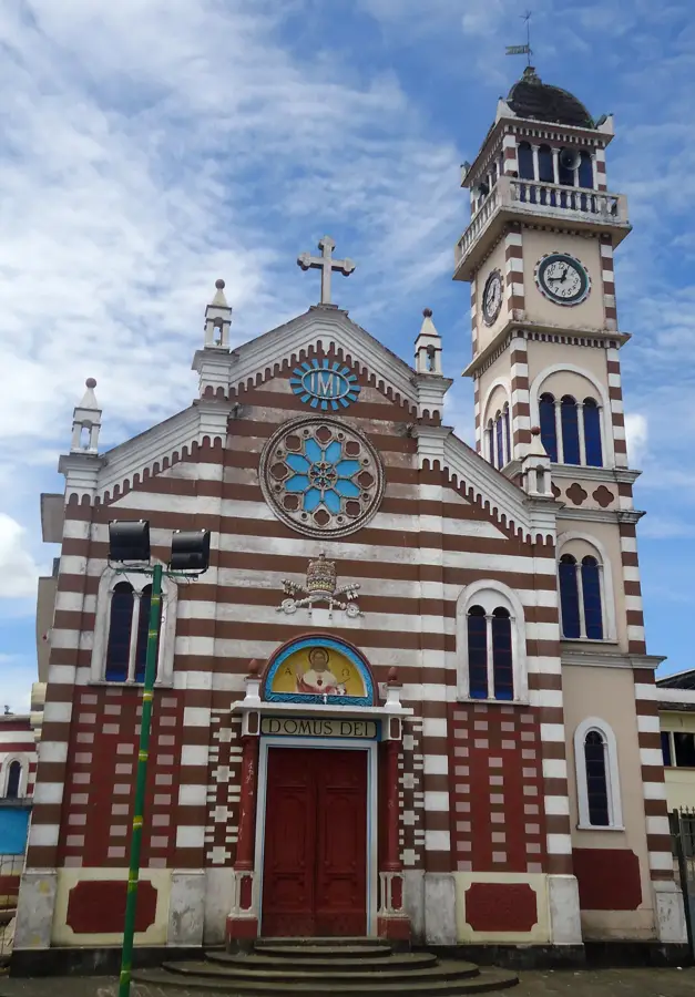
Sights nearby
💡 Tips
- Take time to acclimatize to the altitude (over 2800m) before attempting any long hikes.
- Visit the Quitsato Sundial right on the equator; it's often much less crowded than the famous Mitad del Mundo monument.
- Pack warm layers, as the weather can change rapidly due to the proximity of the volcano.
- Try to view the volcano early in the morning for the best chance of clear skies before the clouds roll in.
🍽 Food
Crispy, buttery local biscuits. Best enjoyed fresh from the oven at the traditional cafes along the main highway.
A mild cheese rolled in an achira leaf. Look for it at small, local dairy shops around the town center.
Traditional milk caramel that serves as the well-suited sweet dip for your savory bizcochos.
🛍 Shopping · 🧘 Quiet spots
The region is world-famous for its roses. Pick up fresh bouquets from the florists in the center.
Visit the local weekend market to find fresh agricultural produce and indigenous handicrafts.
The town's main square is an excellent spot for a relaxed afternoon under the shade of the trees.
The lower slopes of the volcano offer peaceful nature trails away from the urban bustle.
Water temperature…
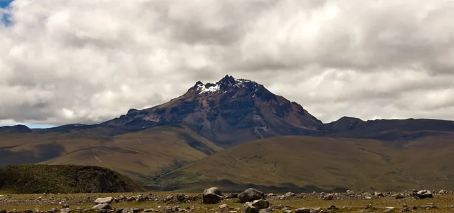
Cayambe is a city in the northeast of the Pichincha Province, named after the majestic Cayambe Volcano that towers over the landscape. The city sits at an elevation of approximately 2,830 meters directly on the Equator line, giving it a unique geographical significance. Historically, the region was a center of fierce resistance by the Cayambi-Caranqui people against the Inca expansion in the late 15th century. Today, Cayambe is globally recognized as one of the world's leading exporters of cut flowers, particularly high-quality roses. The fertile volcanic soil and the intense solar radiation at high altitude provide handy conditions for floriculture. Culturally, the city is famous for its Inti Raymi (Solstice) celebrations in June and its culinary specialties like 'bizcochos' (traditional biscuits) and leaf cheese. The Cayambe Volcano is also the only place on Earth where the Equator crosses a permanent snow-cap, attracting adventurers and scientists alike.
- Location: Ecuador
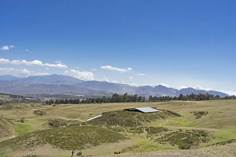
- Top sights: Laguna Yaznan · Sitio Arqueológico Puntiachil
- Nearby: Atuntaqui (10 km)
- Population: ~26.582 (2024)
Best time to visit & climate
The most pleasant time to visit is Jul–Sep.
| Jan | Feb | Mar | Apr | May | Jun | Jul | Aug | Sep | Oct | Nov | Dec | |
|---|---|---|---|---|---|---|---|---|---|---|---|---|
| Avg °C | 11 | 11 | 11 | 11 | 10 | 9 | 9 | 9 | 10 | 11 | 11 | 11 |
| Rain mm | 117 | 122 | 151 | 164 | 122 | 71 | 52 | 37 | 50 | 93 | 111 | 107 |
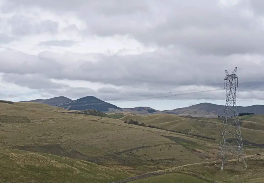
Geography
Facts
- The city is situated at an elevation of 2,830 meters above sea level.
- Cayambe Volcano, at 5,790 meters, is the third highest peak in Ecuador.
- Home to the Quitsato Sundial, a monument marking the precise Equator line.
- Officially established as a canton on July 23, 1883.
- The rose industry employs over 10,000 people in the immediate region.
- The festival of San Pedro de Cayambe is celebrated annually on June 29.
Explore nearby
Notable places around
Route planner — Car & Motorhome
Where do you start? We build the route here, with stops and country notes along the way.
© OpenStreetMap contributors · OpenRouteService
Sights in the town Cayambe (2)
Frequently asked questions
What is Cayambe known for?
What are Bizcochos?
Can you visit the Equator monument?
How is the weather?
What is the main economic driver?
Cayambe: where is it located?
Cayambe: what is there to see?
Cayambe: when is the best time to visit?
Cayambe: why is it worth visiting?

Nearby cities

History & landmarks


More places