Plizio Visual Lab
Sincholagua
Weather…
Water temperature…
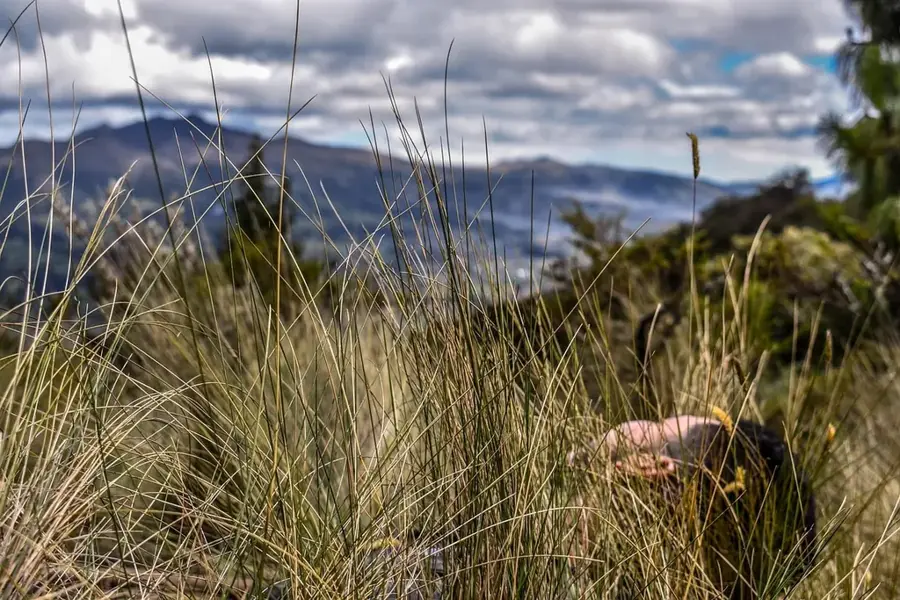
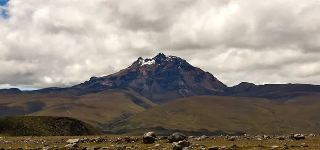
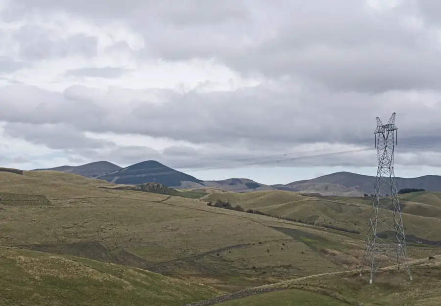
Sincholagua is an extinct volcano located in the Eastern Cordillera of the Ecuadorian Andes, approximately 45 kilometers southeast of Quito. Standing at 4893 meters, it is a prominent feature on the northern horizon of the Cotopaxi National Park, although it receives fewer visitors than its more famous neighbors. The mountain is distinguished by its rugged, jagged rocky ridges, which are the result of intense glacial erosion over millennia. Historically, Sincholagua was covered by permanent snow and ice, but today its glaciers have almost entirely vanished due to rising temperatures. Geologically, the volcano is older than the nearby Cotopaxi and represents an earlier stage of volcanic formation in the region. It serves as the primary source for the Pita River, which is crucial for the water supply of the surrounding valleys and creates several spectacular waterfalls. The high-altitude páramo around Sincholagua is a protected habitat for the Andean condor and wild horses that roam the expansive grasslands. For climbers, Sincholagua has a technical challenge involving steep rock scrambles and loose terrain, rewarded by unparalleled views of the Cotopaxi crater and the Antisana volcano.
- Location: Ecuador
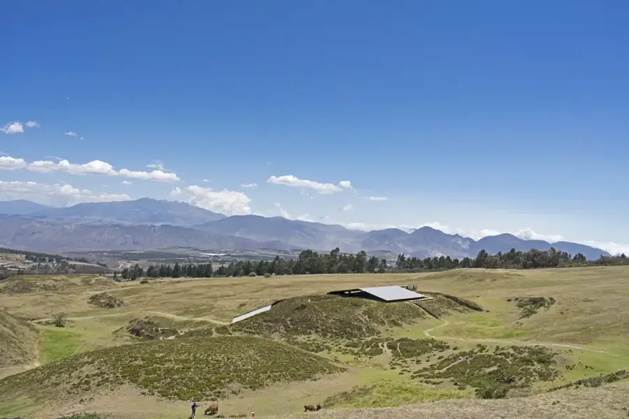
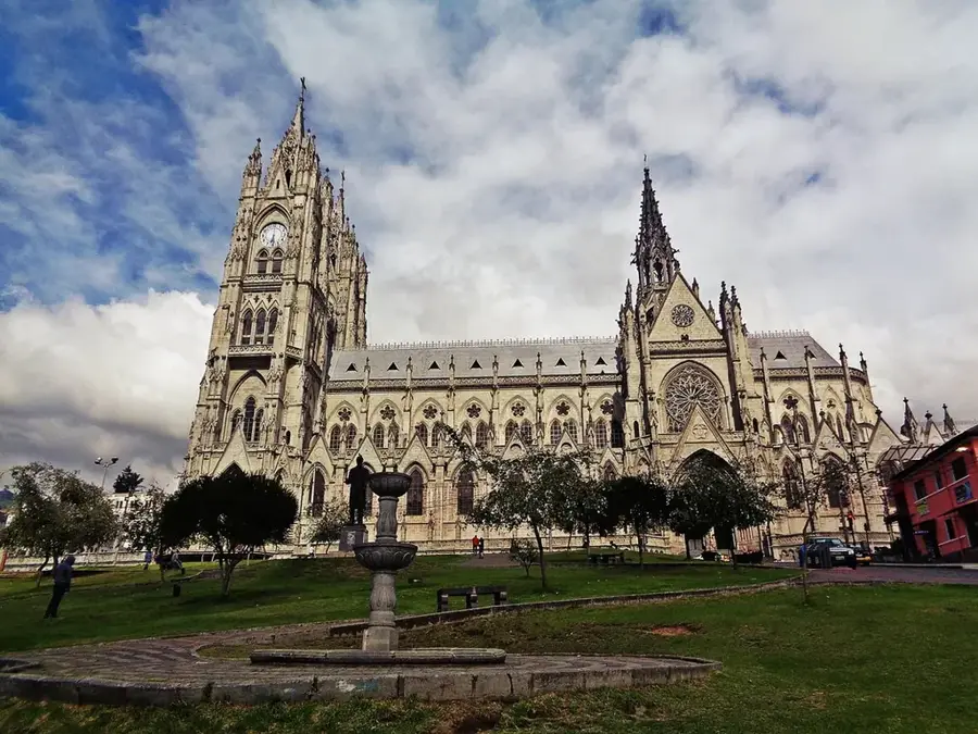
- Top sights: Mirador Isco · Hacienda Pullurima
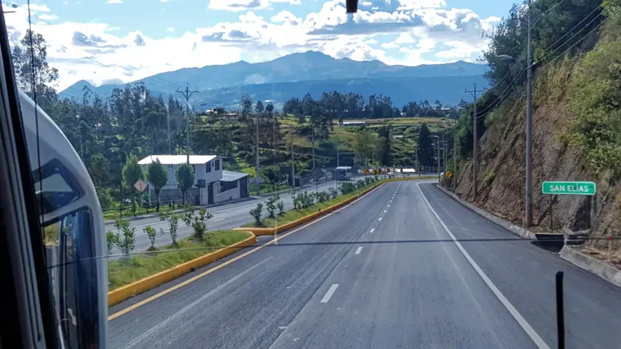
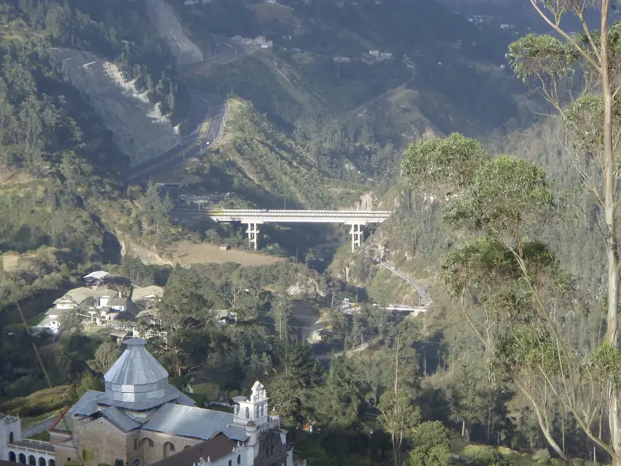
- Nearby: Sangolquí (11 km)
Best time to visit & climate
The most pleasant time to visit is Jul–Sep.
| Jan | Feb | Mar | Apr | May | Jun | Jul | Aug | Sep | Oct | Nov | Dec | |
|---|---|---|---|---|---|---|---|---|---|---|---|---|
| Avg °C | 14 | 14 | 14 | 15 | 15 | 14 | 14 | 14 | 14 | 14 | 14 | 14 |
| Rain mm | 132 | 142 | 169 | 168 | 117 | 63 | 43 | 33 | 41 | 80 | 92 | 100 |
📋 Practical info
Geography
Facts
- Sincholagua is situated only 17 kilometers north of Cotopaxi.
- The last ice age shaped the steep rocky walls seen today.
- The mountain lost its last permanent ice cap in the 1990s.
- The Pita River originates on the southern slopes of the volcano.
- Sincholagua is the twelfth highest mountain in Ecuador.
- The first documented European ascent took place in 1880.
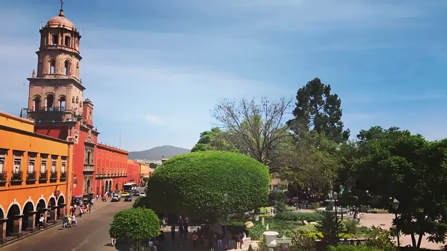
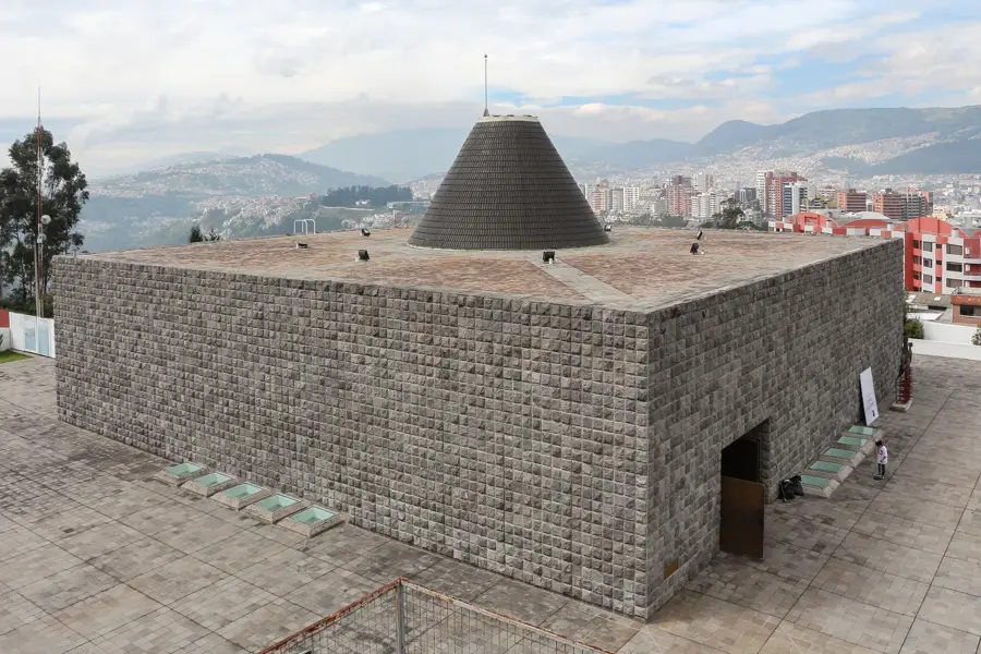
Explore nearby
Notable places around
Route planner — Car & Motorhome
Where do you start? We build the route here, with stops and country notes along the way.
© OpenStreetMap contributors · OpenRouteService
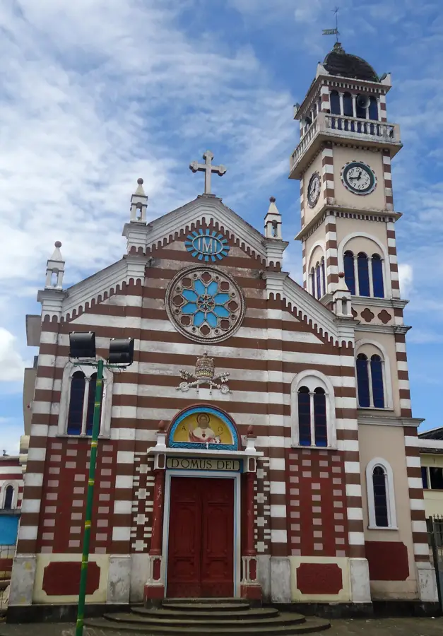
Sights in the town Sincholagua (2)
Sights nearby
Frequently asked questions
Where is Sincholagua located?
How high is the mountain?
Is it hard to climb?
What can you see from the summit?
Are there hiking trails?
Sincholagua: where is it located?
Sincholagua: what is there to see?
Sincholagua: when is the best time to visit?
Sincholagua: why is it worth visiting?

Nearby cities


History & landmarks


More places