Plizio Visual Lab
Quito

ℹ️Practical info — Quito
▾
🌤 Weather — 5 days
📍 Nearby
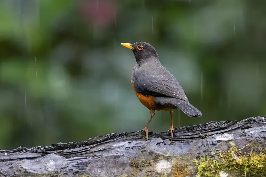
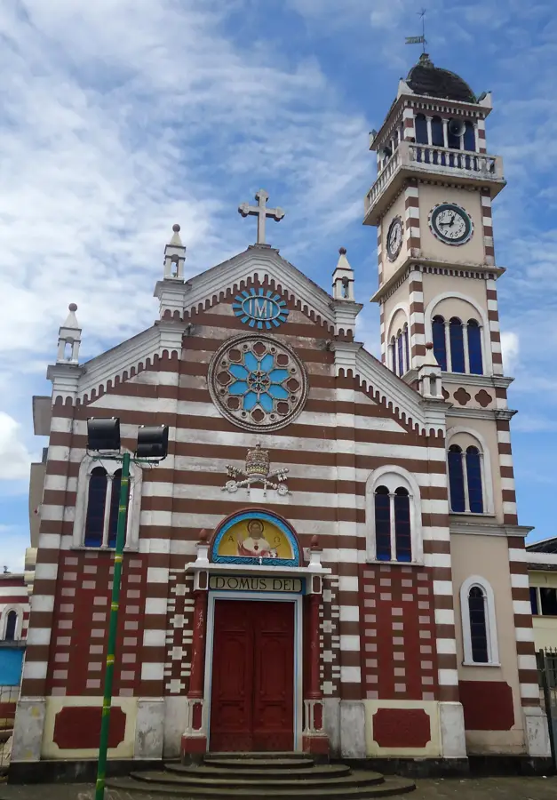
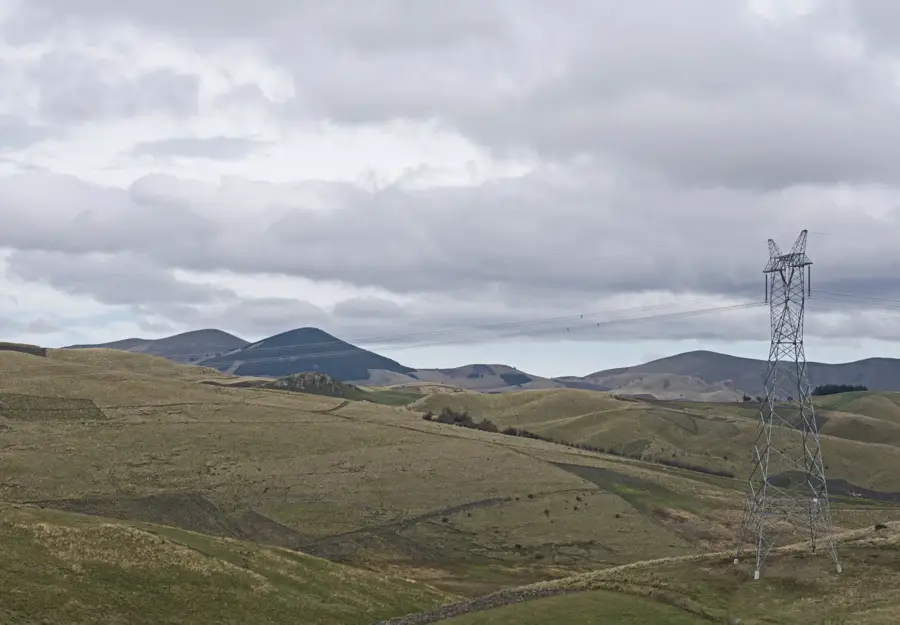
Sights nearby
💡 Tips
- Walk slowly on your first day to adjust to the high altitude (2,850 meters).
- The historic center is best explored on foot, but avoid walking there late at night.
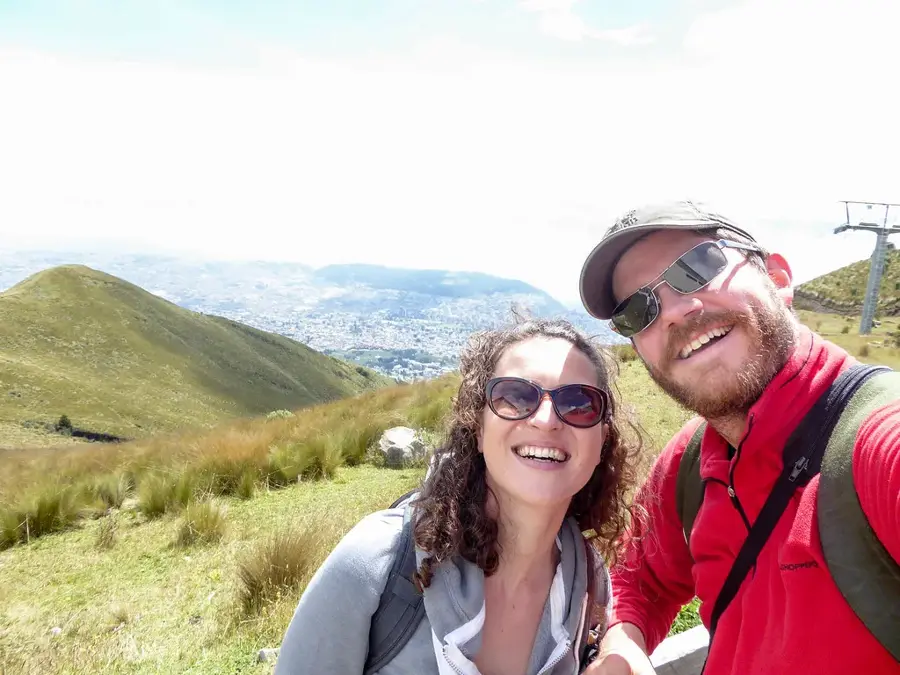
- Use the TeleferiQo in the morning for clear views before afternoon clouds roll in.
- Keep small change ($1 or $5 bills) as vendors rarely have change for large US dollar bills.
🍽 Food
A creamy potato and cheese soup topped with avocado, served in traditional cafes in the historic center.
Roast pork served with potato patties (llapingachos) at the Mercado Central.
A warm alcoholic drink made with aguardiente, sugar, and cinnamon, best enjoyed on Calle La Ronda.
🛍 Shopping · 🧘 Quiet spots
A great spot to bargain for alpaca sweaters, colorful textiles, and souvenirs.
Browse artisan shops offering handmade crafts, jewelry, and traditional sweets.
A large park in the financial district with botanical gardens and walking paths.
Sit on the steps of this historic square early in the day to enjoy the colonial atmosphere peacefully.
Water temperature…
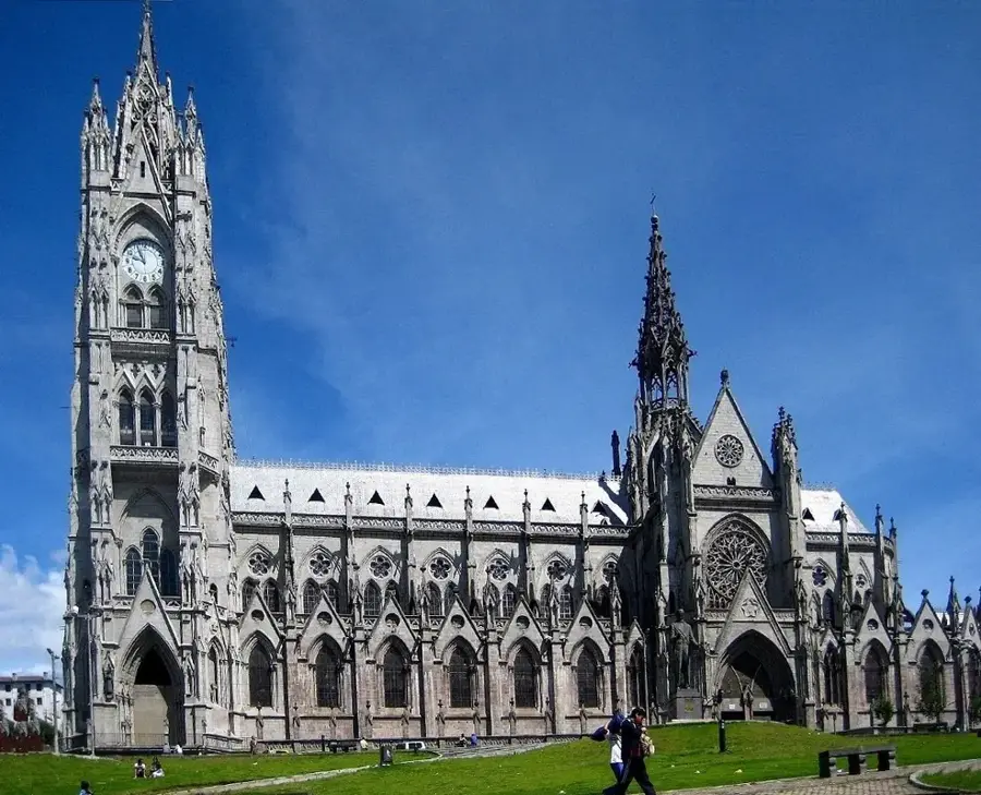
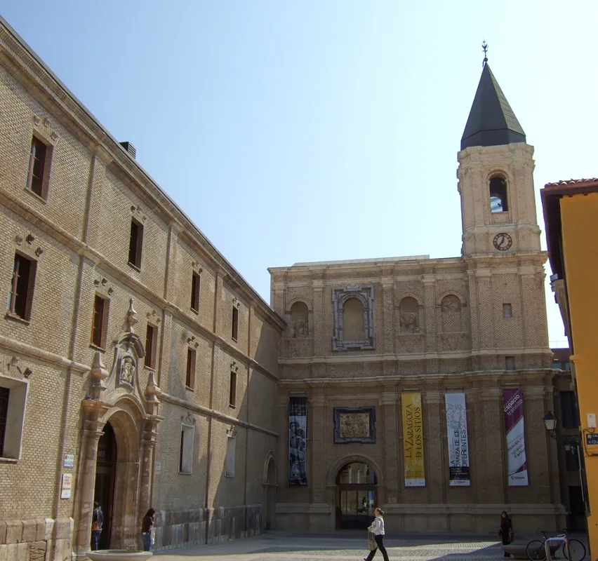
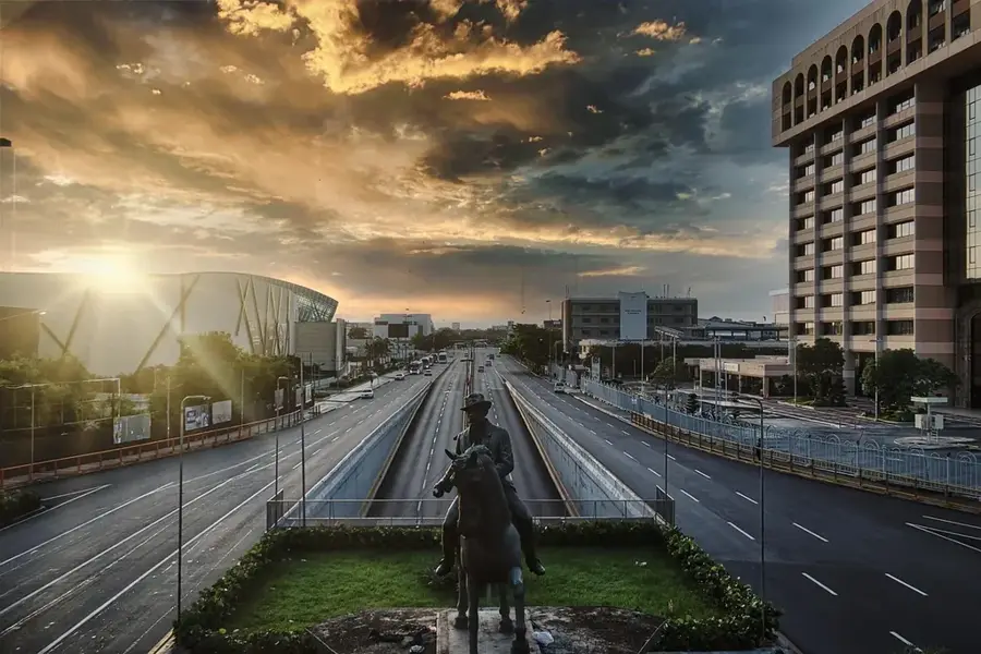
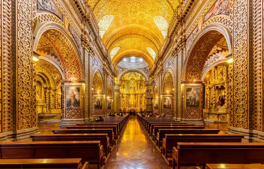
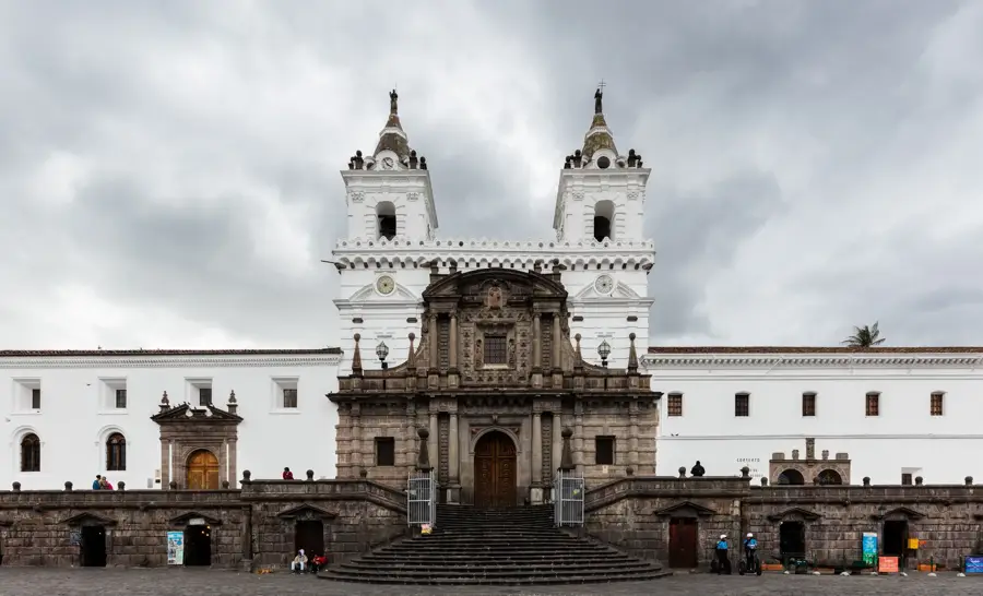
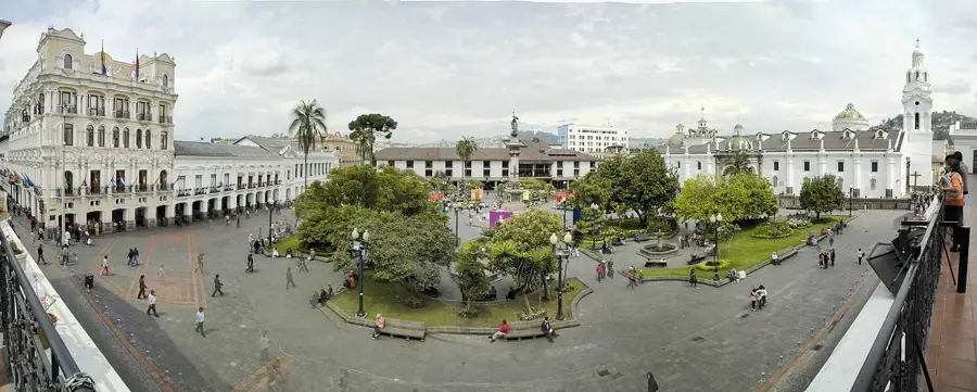
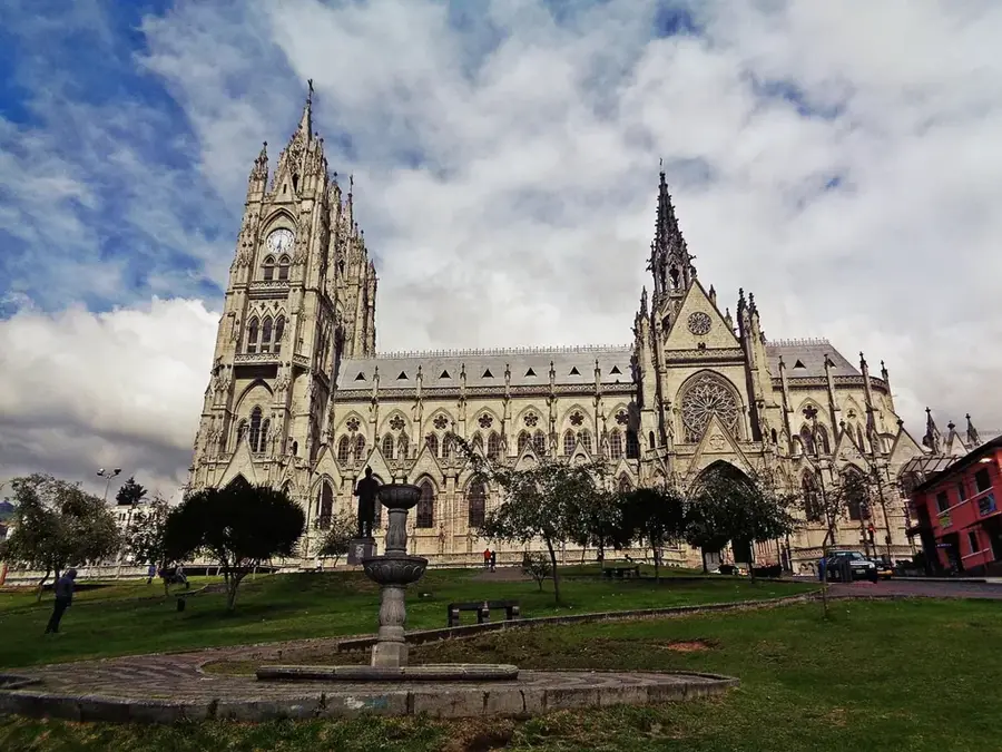
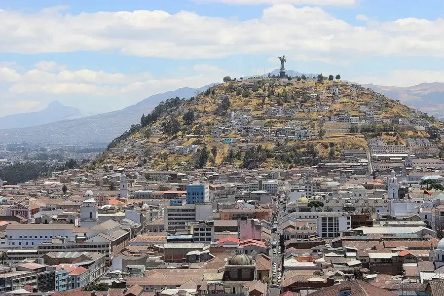
Quito, the capital of Ecuador, is a majestic highland city situated at an elevation of 2,850 meters (9,350 feet) above sea level. It is positioned in a narrow Andean valley, bordered by the slopes of the Pichincha volcano to the west. Quito holds the distinction of having one of the best-preserved colonial centers in the Americas, which led to its designation as the very first UNESCO World Heritage City in 1978. Its historic district is a treasure trove of Spanish colonial architecture, featuring grand plazas and ornate churches like the gold-leafed La Compañía de Jesús and the sprawling San Francisco religious complex. The city's roots go back centuries before the Spanish foundation in 1534, as it was a significant pre-Columbian trade hub and later the northern capital of the Inca Empire. Located just south of the equator, Quito enjoys a unique 'eternal spring' climate, where flowers bloom year-round and temperatures remain mild. Economically, Quito is the political and administrative powerhouse of Ecuador, serving as the seat of the presidency and national legislature. The city is sharply divided between its colonial soul in the south and its modern, commercial heart in the north, where skyscrapers and business districts like Amazonas Avenue reflect its economic growth. Key landmarks include the 'Mitad del Mundo' (Middle of the World) monument to the north and the iconic Panecillo hill, which has sweeping views of the urban sprawl. Quito is also a major educational center, home to prestigious institutions such as the Universidad Central del Ecuador. The city has recently modernized its infrastructure with the Mariscal Sucre International Airport and the Quito Metro, the country's first underground transit system. With its blend of indigenous heritage, colonial history, and modern ambition, Quito stands as one of South America's most compelling and visually remarkable urban landscapes.
- Location: Ecuador
- Top sights: Quito Astronomical Observatory · Palacio de Cristal Centro cultural Itchimbia · El Belén
- Nearby: Sangolquí (6 km)
- Population: ~2.781.641 (2025)
Best time to visit & climate
The most pleasant time to visit is Jul–Sep.
| Jan | Feb | Mar | Apr | May | Jun | Jul | Aug | Sep | Oct | Nov | Dec | |
|---|---|---|---|---|---|---|---|---|---|---|---|---|
| Avg °C | 17 | 17 | 18 | 18 | 18 | 18 | 17 | 18 | 18 | 17 | 17 | 17 |
| Rain mm | 139 | 143 | 176 | 177 | 123 | 58 | 34 | 25 | 38 | 76 | 90 | 100 |
Geography
Facts
- Quito is the highest constitutional capital in the world at 2,850 meters.
- It was the first city to be declared a UNESCO World Heritage site in 1978.
- The city is located only about 25 km (15 miles) from the equatorial line.
- Quito's official foundation date is December 6, 1534.
- The historic center contains 32 churches and 6 major monasteries.
- The Panecillo Virgin is the only winged Virgin Mary statue in the world.
- Quito is the second most populous city in Ecuador after Guayaquil.
- The climate is classified as subtropical highland (Cfb), with mild temperatures.
Explore nearby
Notable places around
Route planner — Car & Motorhome
Where do you start? We build the route here, with stops and country notes along the way.
© OpenStreetMap contributors · OpenRouteService
Sights in the town Quito (14)
Frequently asked questions
Do you need to be careful with the altitude in Quito?
What is the 'Mitad del Mundo'?
What is special about the Old Town?
What is the TelefériQo?
How is the weather in Quito?
Quito: where is it located?
Quito: what is there to see?
Quito: when is the best time to visit?
Quito: why is it worth visiting?

Nearby cities

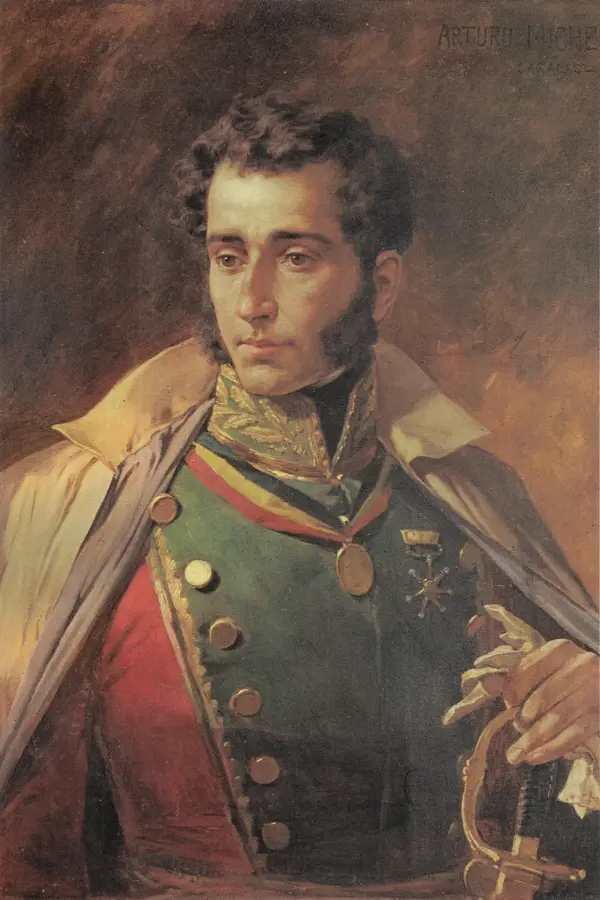
History & landmarks
More places