Plizio Visual Lab
Lake San Pablo
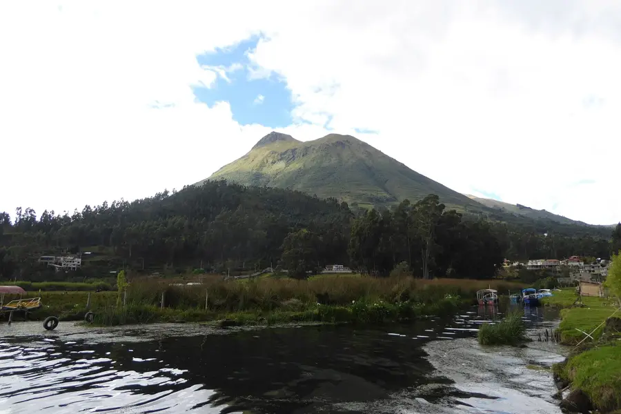
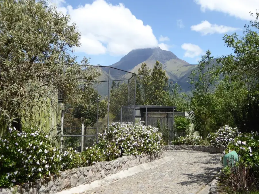
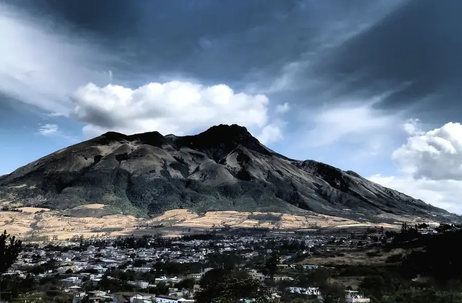
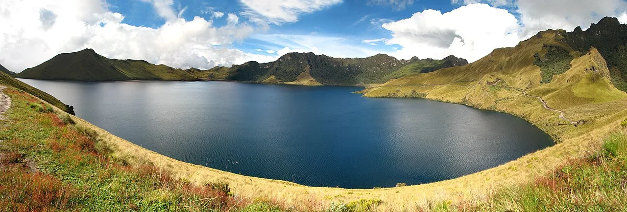
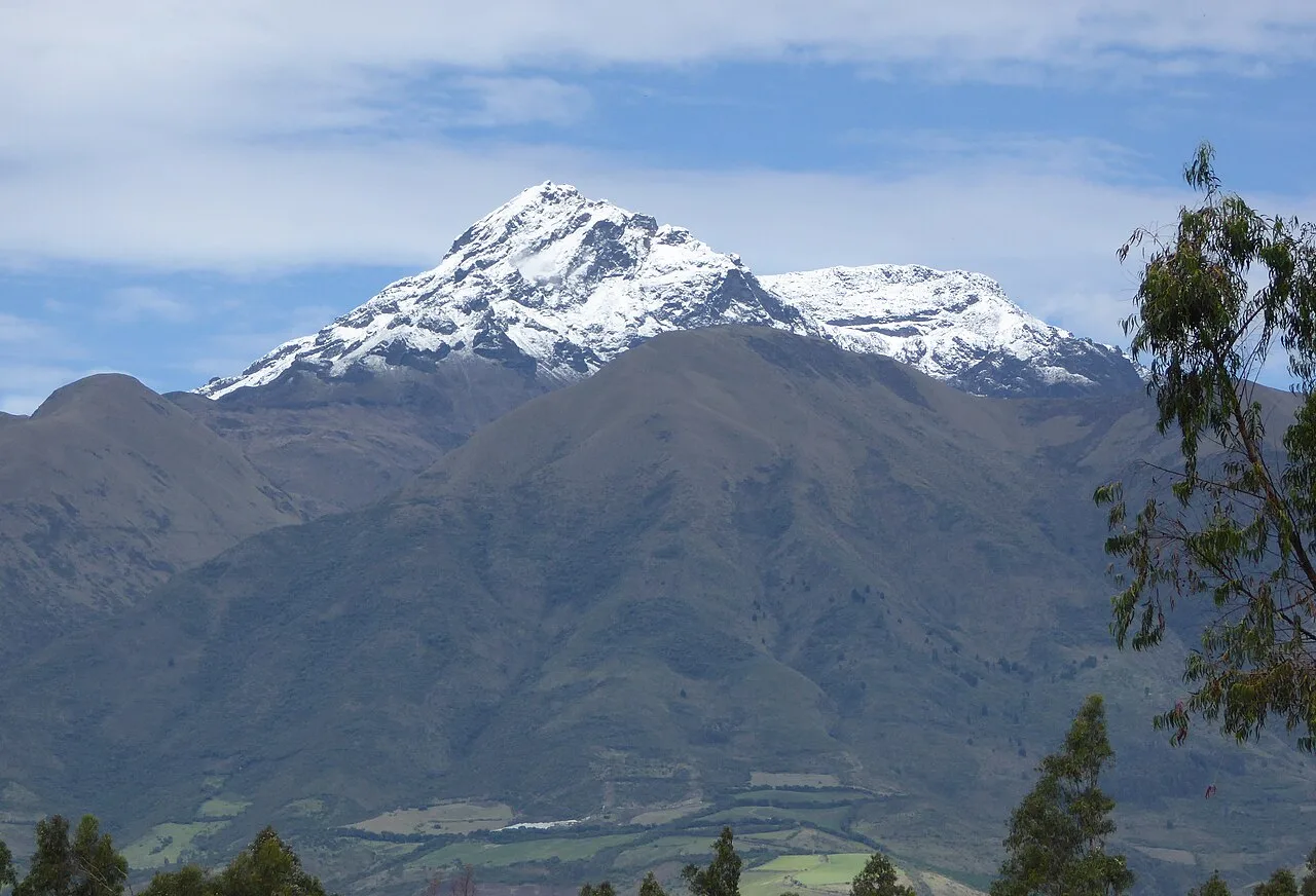
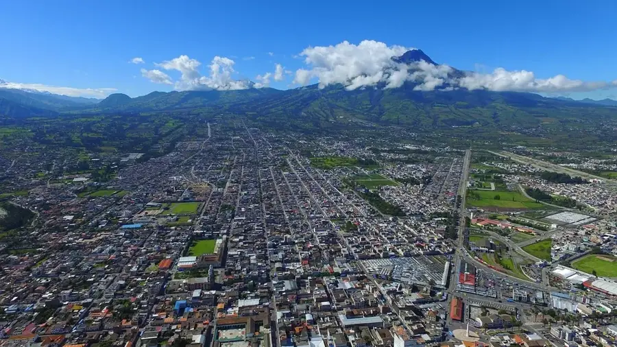
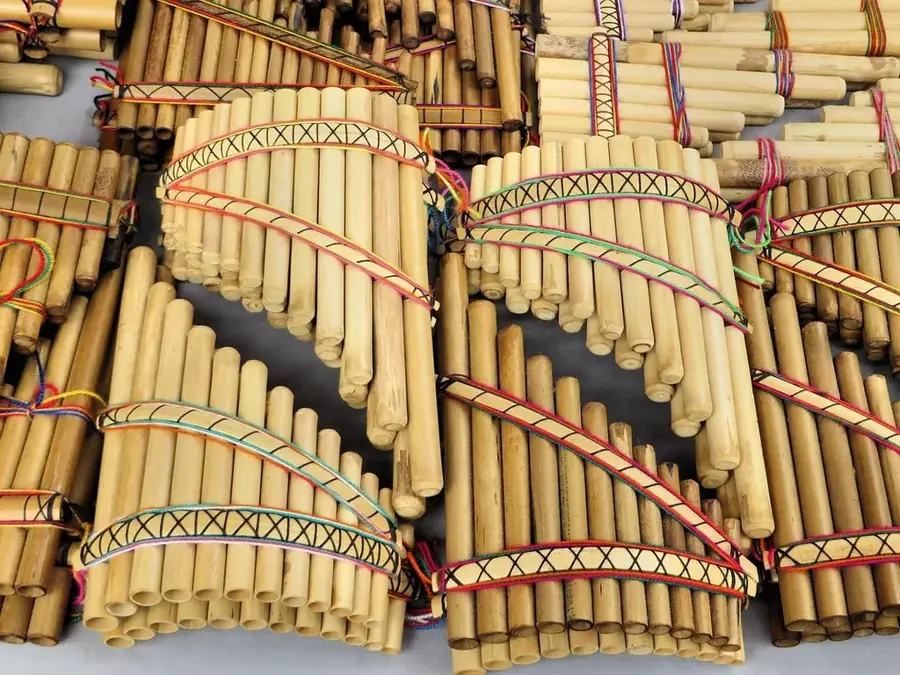
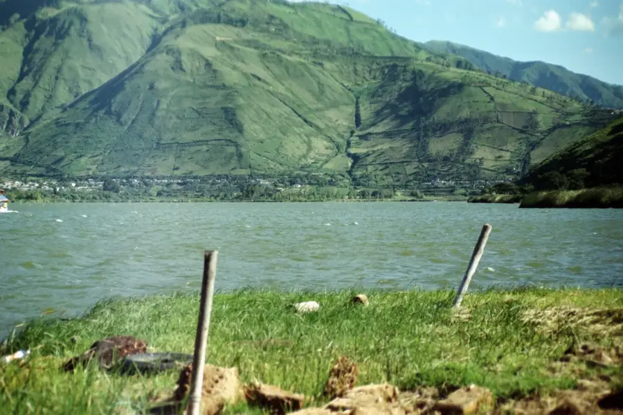
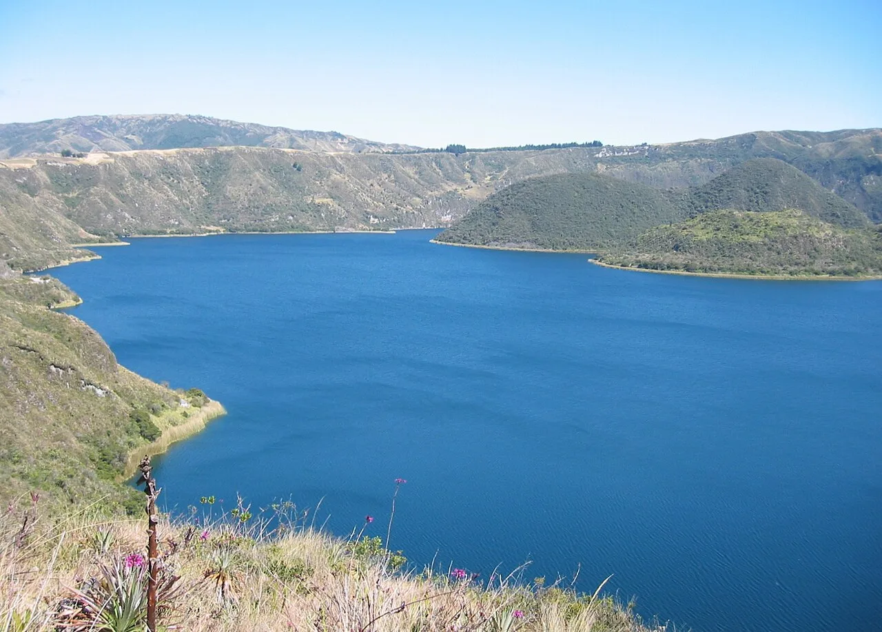
Lake San Pablo, locally known as Imbakucha, is one of the largest and most significant lakes in the Ecuadorian highlands. Situated at the base of the majestic Imbabura Volcano near the city of Otavalo, the lake sits at an elevation of 2,660 meters. It occupies a basin of volcanic origin and is primarily fed by rainfall and small streams from the surrounding Andean cordillera. The lakeshore has been inhabited for centuries by the indigenous Otavalo people, who hold the water in high spiritual regard. A notable feature of the lake is the abundance of Totora reeds, which are harvested by local artisans to produce traditional mats, baskets, and small watercraft. Ecologically, the lake provides a habitat for various waterfowl and native fish, though it faces challenges from agricultural runoff and urban expansion. Each year, it serves as the venue for the "Travesía de Natación," a renowned open-water swimming competition that attracts national and international athletes. The surrounding landscape is characterized by fertile soils used for cultivating corn and small grains, framed by the dark silhouette of the volcano.
- Location: Ecuador
- Top sights: Megasaurios Park · Agua de güitig · Parque Aquatico
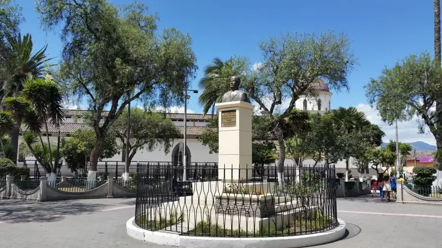
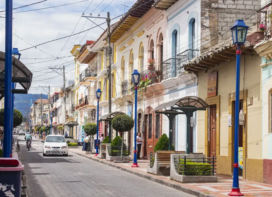
- Nearby: Otavalo (5 km)
Best time to visit & climate
The most pleasant time to visit is Jul–Sep.
| Jan | Feb | Mar | Apr | May | Jun | Jul | Aug | Sep | Oct | Nov | Dec | |
|---|---|---|---|---|---|---|---|---|---|---|---|---|
| Avg °C | 11 | 11 | 11 | 11 | 10 | 9 | 9 | 9 | 10 | 11 | 11 | 11 |
| Rain mm | 117 | 122 | 151 | 164 | 122 | 71 | 52 | 37 | 50 | 93 | 111 | 107 |
📋 Practical info
Geography
Facts
- The lake is situated at an elevation of 2,660 meters above sea level.
- Lake San Pablo covers a surface area of approximately 7 square kilometers.
- The indigenous Kichwa name for the lake is Imbakucha.
- It lies at the foot of the Imbabura Volcano, which rises to 4,630 meters.
- Totora reeds from the lake are used in traditional indigenous handicrafts.
- The lake hosts the annual 3.8 km 'Travesía de Natación' swim race.
Explore nearby
Notable places around
Route planner — Car & Motorhome
Where do you start? We build the route here, with stops and country notes along the way.
© OpenStreetMap contributors · OpenRouteService
Sights in the town Lake San Pablo (8)
Sights nearby
Frequently asked questions
What activities are offered at the lake?
Is the lake near Otavalo?
Are there restaurants on the shore?
Is the lake suitable for swimming?
When is it most crowded?
Lake San Pablo: where is it located?
Lake San Pablo: what is there to see?
Lake San Pablo: when is the best time to visit?
Lake San Pablo: why is it worth visiting?

Nearby cities

History & landmarks

Nature
More places