Plizio Visual Lab
Reventador Volcano
Weather…
Water temperature…
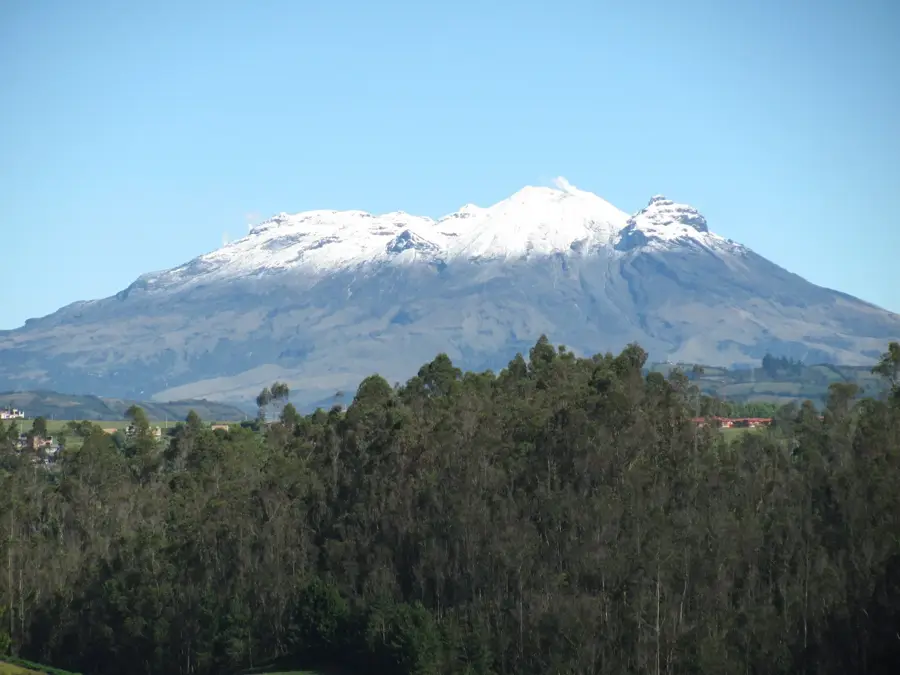
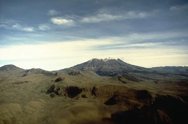
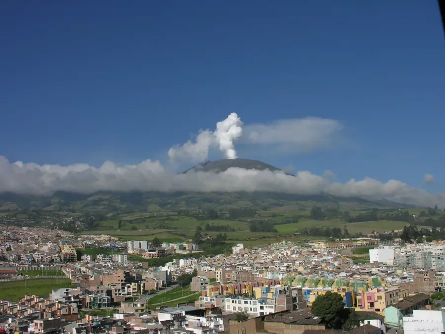
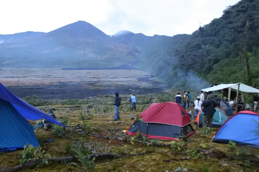
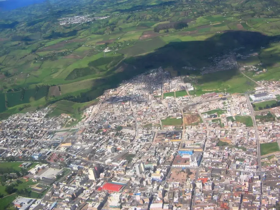
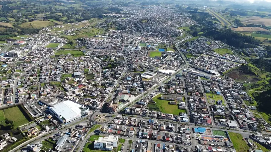
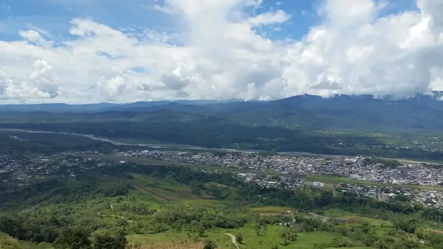
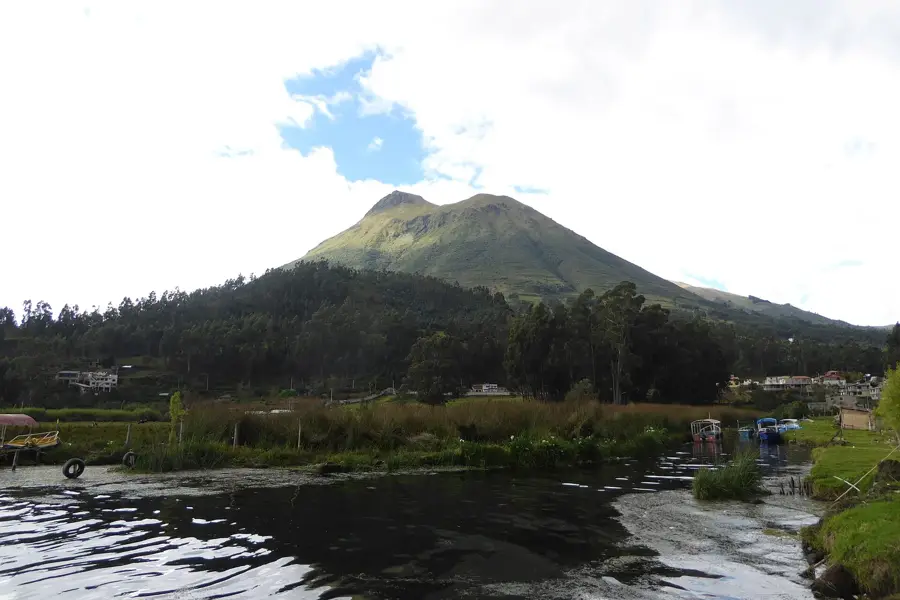
Reventador is an exceptionally active stratovolcano located in the Eastern Cordillera of the Ecuadorian Andes, bordering the Amazon basin. Standing at an elevation of 3562 meters, it is situated within a remote region of the Cayambe-Coca National Park, far from major urban centers. The current active cone sits inside a large horseshoe-shaped caldera that was formed by the collapse of a prehistoric volcanic structure. Reventador is characterized by its explosive eruptive style; a massive eruption in November 2002 was one of the strongest in Ecuador's recorded history, sending ash plumes as far as Quito. Due to its location in a high-rainfall tropical zone, the volcano's flanks are often covered in dense cloud forests, making visual monitoring challenging. Frequent lava flows and pyroclastic surges have significantly altered the shape of the cone and the surrounding river valleys over the past two decades. Geologists closely monitor its activity using satellite data and remote sensors, as the volcano has remained in a state of near-continuous unrest since its 2002 reactivation.
- Location: Ecuador
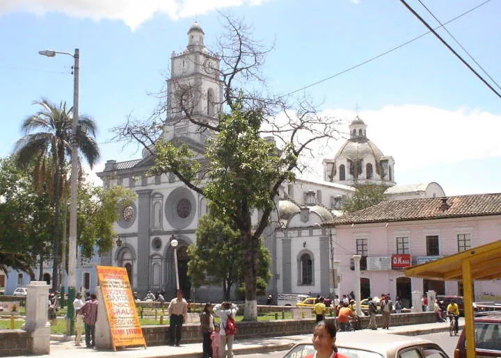
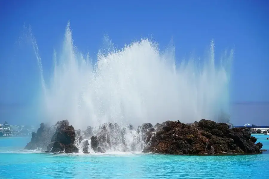
- Top sights: Cascada San Rafael · Former San Rafael Cascada
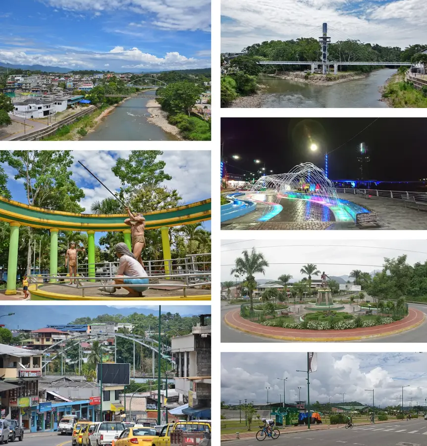
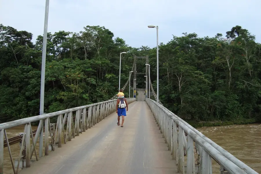
- Nearby: Misahuallí (23 km)
Best time to visit & climate
The most pleasant time to visit is Jan, Aug, Sep.
| Jan | Feb | Mar | Apr | May | Jun | Jul | Aug | Sep | Oct | Nov | Dec | |
|---|---|---|---|---|---|---|---|---|---|---|---|---|
| Avg °C | 19 | 19 | 19 | 18 | 18 | 17 | 17 | 18 | 19 | 19 | 19 | 18 |
| Rain mm | 114 | 120 | 149 | 158 | 140 | 112 | 91 | 67 | 78 | 122 | 149 | 134 |
📋 Practical info
Geography
Facts
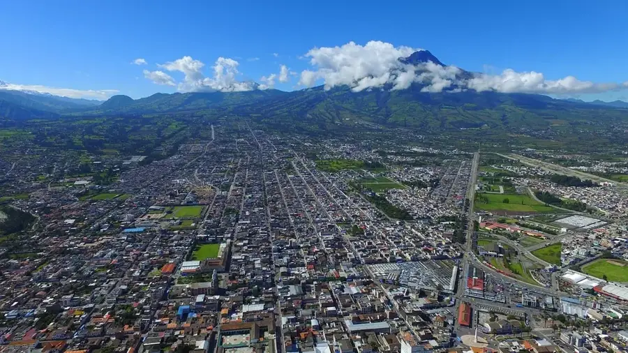
- Reventador is located about 90 kilometers east of Quito.
- The massive eruption in November 2002 began without clear warning.
- The horseshoe-shaped caldera is approximately 4 kilometers wide.
- The name 'Reventador' translates from Spanish as 'Exploder'.
- The volcano stands at an elevation of 3562 meters above sea level.
- Near-daily volcanic activity has been recorded since 2002.
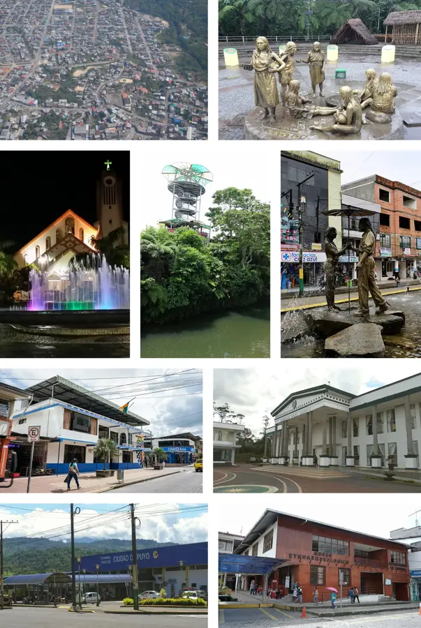
Explore nearby
Notable places around
Route planner — Car & Motorhome
Where do you start? We build the route here, with stops and country notes along the way.
© OpenStreetMap contributors · OpenRouteService
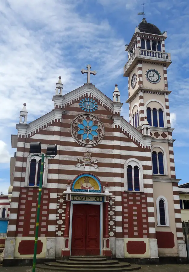
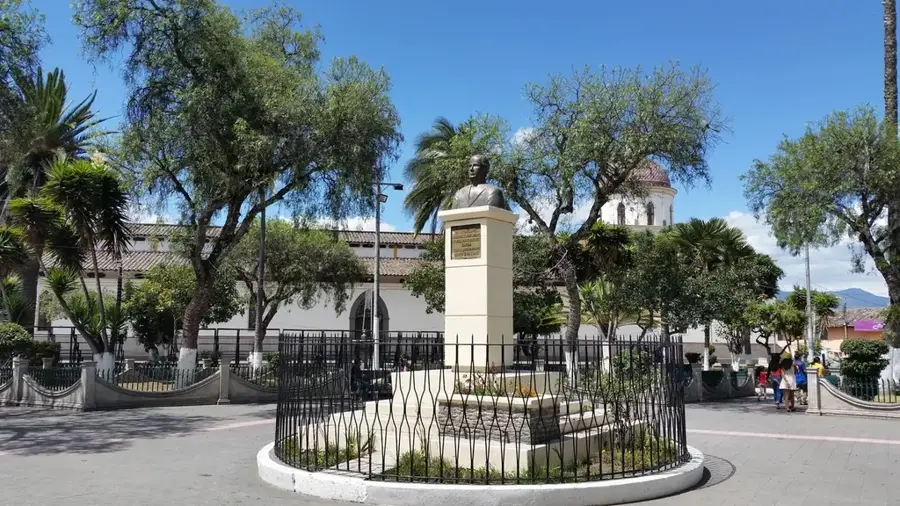
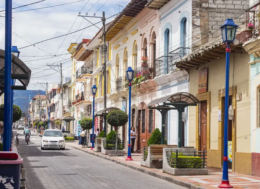
Sights in the town Reventador Volcano (2)
Sights nearby
Frequently asked questions
Is Reventador volcano active?
Can you climb to the summit?
Where can you observe it from?
In which region is it located?
How high is the volcano?
Reventador Volcano: where is it located?
Reventador Volcano: what is there to see?
Reventador Volcano: when is the best time to visit?
Reventador Volcano: why is it worth visiting?

Nearby cities
History & landmarks
Nature
More places