Plizio Visual Lab
La Cocha Lagoon
Weather…
Water temperature…
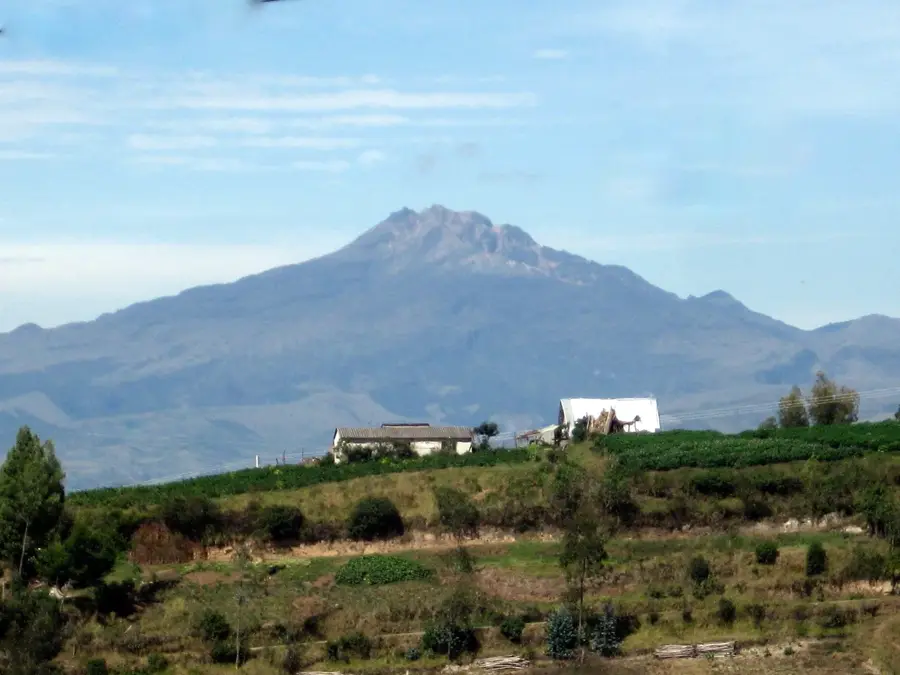
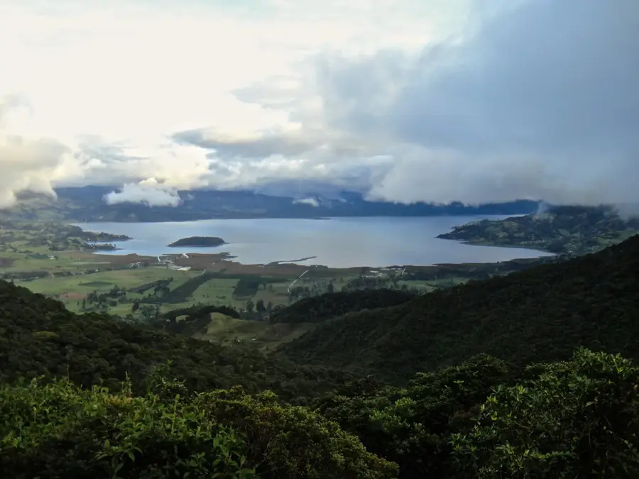
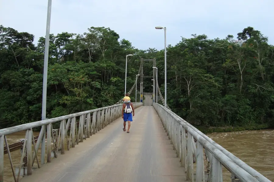
La Cocha Lagoon, also referred to as Lake Guamúez, is located in the Nariño department of southwestern Colombia, approximately 20 kilometers from the city of Pasto. Situated at an elevation of 2,820 meters above sea level, it stands as the second-largest natural lake in Colombia, covering an area of roughly 40 to 50 square kilometers. The lagoon is of volcanic origin and lies within a tectonic graben of the Eastern Cordillera of the Andes. A key ecological feature is La Corota Island, the smallest national sanctuary in the country, which protects a unique high-altitude cloud forest ecosystem within its 12 hectares. In 2001, the lagoon was officially recognized as a Ramsar site, highlighting its international importance as a wetland and its role in regional biodiversity conservation. The surrounding village of El Encano is famous for its alpine-style wooden architecture, influenced by Swiss settlers, which gives the area a distinct European feel amidst the Andean landscape. The cold, misty climate supports a thriving trout fishing industry and gives a serene environment for eco-tourism.
- Location: Colombia
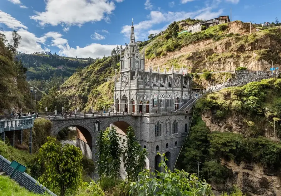
- Top sights: Little Switzerland · Viewpoint · Reserva Natural San Francisco
- Nearby: Ipiales (54 km)
Best time to visit & climate
The most pleasant time to visit is Jan, Aug, Sep.
| Jan | Feb | Mar | Apr | May | Jun | Jul | Aug | Sep | Oct | Nov | Dec | |
|---|---|---|---|---|---|---|---|---|---|---|---|---|
| Avg °C | 18 | 19 | 18 | 18 | 18 | 17 | 17 | 17 | 18 | 18 | 18 | 18 |
| Rain mm | 99 | 107 | 137 | 153 | 136 | 115 | 83 | 64 | 76 | 134 | 171 | 135 |
📋 Practical info
Geography
Facts
- Second-largest natural lake in Colombia (40-50 sq km).
- Located at an elevation of 2,820 meters in Nariño.
- Designated as a Ramsar wetland site in 2001.
- Contains La Corota, Colombia's smallest national sanctuary.
- The lagoon reaches a maximum depth of around 75 meters.
- The primary source of the Guamúez River, a Putumayo tributary.
Explore nearby
Notable places around
Route planner — Car & Motorhome
Where do you start? We build the route here, with stops and country notes along the way.
© OpenStreetMap contributors · OpenRouteService
Sights in the town La Cocha Lagoon (8)
Reserva Natural San Francisco🌿 nature
This nature reserve on the shores of La Cocha lagoon protects the fragile Andean cloud forest and its rich biodiversity.
Sights nearby
Frequently asked questions
Where is the lagoon located?
Are there islands in the lake?
What is the climate like?
What do the houses look like?
Can you go boating?
La Cocha Lagoon: where is it located?
La Cocha Lagoon: what is there to see?
La Cocha Lagoon: when is the best time to visit?
La Cocha Lagoon: why is it worth visiting?

Nearby cities

History & landmarks
Nature
More places