Plizio Visual Lab
Puyo
ℹ️Practical info — Puyo
▾
🌤 Weather — 5 days
📍 Nearby
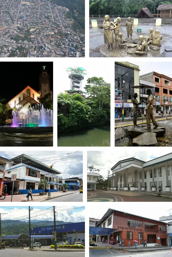
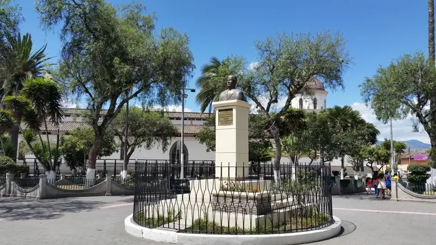
Sights nearby
💡 Tips
- Pack good rain gear and light, breathable clothing, as Puyo's location at the edge of the Amazon means frequent, sudden downpours.
- Taxis are cheap and abundant, but always ensure they use the meter (taxímetro) or agree on a fare before starting the trip.
- Visit the Malecón Boayaku Puyo in the late afternoon for a pleasant riverside stroll when the temperature drops slightly.
- Keep insect repellent handy, especially when visiting the botanical parks or walking trails near the river.
🍽 Food
Try this iconic local dish made with chocho beans, chifles (plantain chips), tuna, tomatoes, and onions, often found in eateries near the Malecón.
Enjoy Amazonian fish (like tilapia) wrapped and cooked in bijao leaves over an open fire, available in traditional restaurants.
Energize your morning with this traditional Amazonian caffeinated tea, widely served in local cafes.
🛍 Shopping · 🧘 Quiet spots
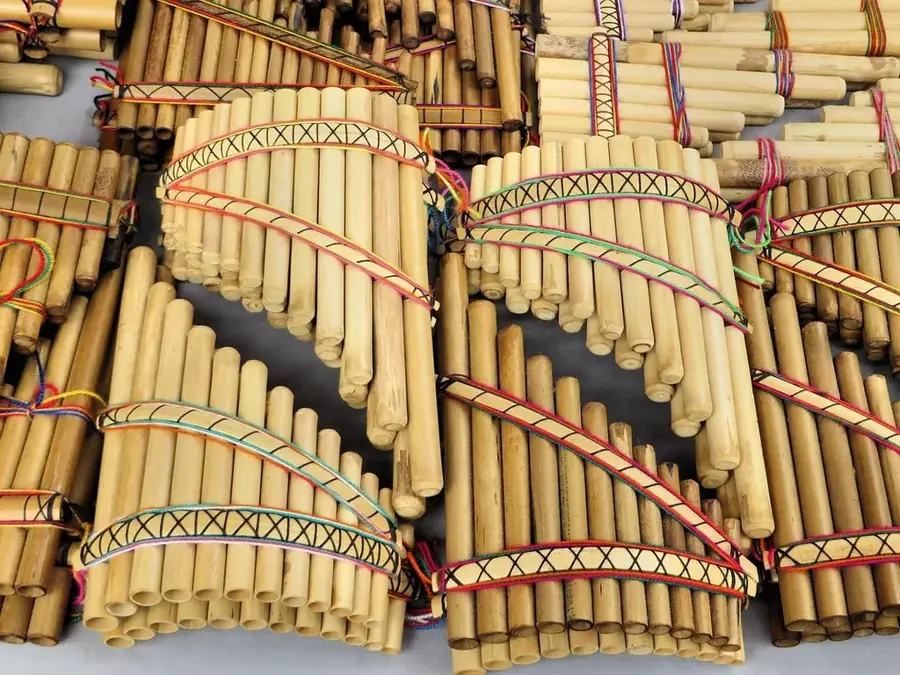
The go-to place for indigenous crafts, beaded jewelry, and colorful woven bags typical of the region.
Look for beautifully carved and painted wooden animal figures in small souvenir shops across the city center.
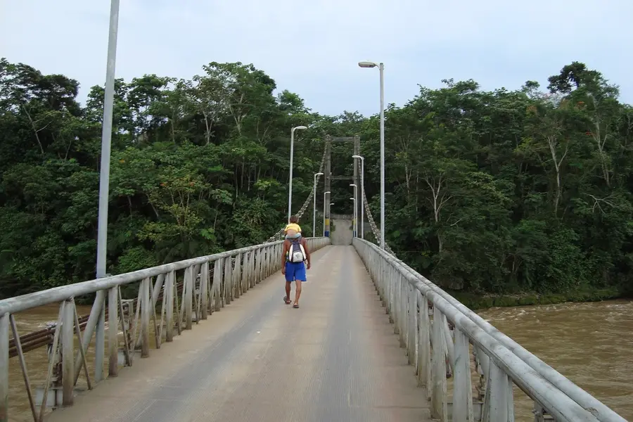
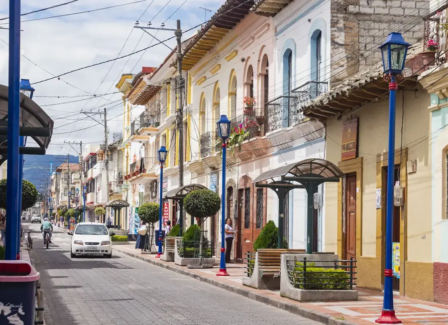
A beautiful, tranquil path running alongside the Puyo River, great for birdwatching and a peaceful walk in nature.
Take a guided tour in this quiet sanctuary to learn about medicinal Amazonian plants in a serene forest setting.
Water temperature…
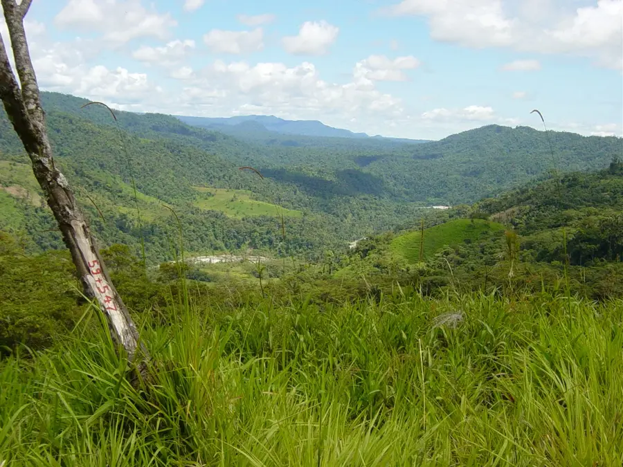
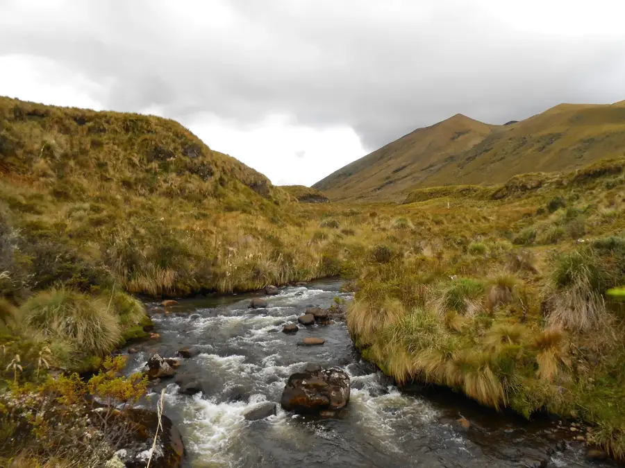
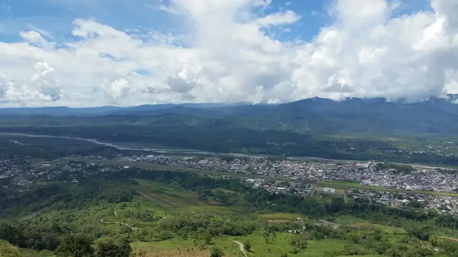
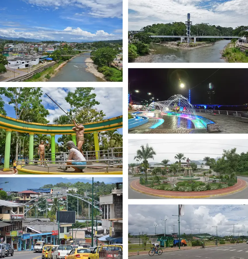
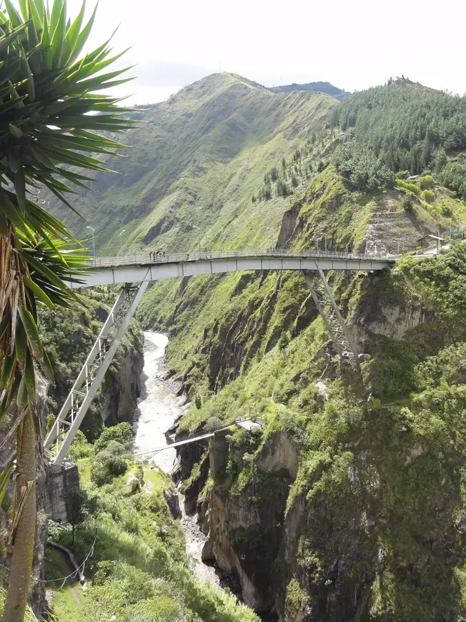
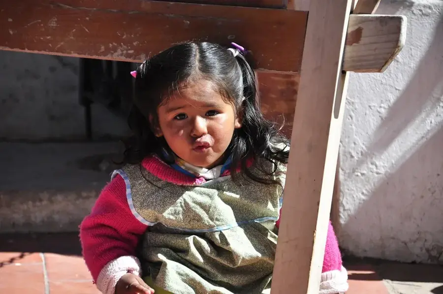
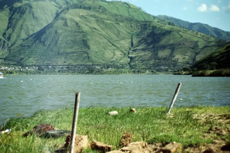
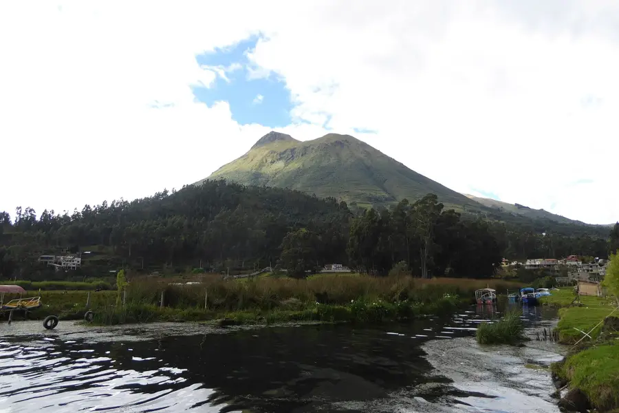
Puyo is the capital of the Pastaza Province and serves as a vital bridge between the Andean highlands and the vast Amazon rainforest of Ecuador. Perched at an elevation of approximately 950 meters (3,117 feet), it experiences a humid subtropical climate and is widely regarded as one of the wettest cities in the world, receiving over 4,500 mm of rain annually. This abundant precipitation creates a lush, evergreen environment within the city and throughout the surrounding countryside. Founded in 1899, Puyo remained a small outpost until the mid-20th century when road connections were established, turning it into a major commercial hub for the Oriente region. The city's economy is driven by agriculture, with tea, sugar cane, and naranjilla being the primary crops, alongside a significant timber industry, particularly the production of lightweight balsa wood. In recent decades, Puyo has emerged as a center for ecotourism and environmental conservation. Key attractions include the Omaere Ethnobotanical Park, which focuses on the traditional medicinal plants used by indigenous cultures, and the 'Las Orquídeas' Botanical Garden. The city is a multicultural mosaic, being home to members of seven distinct indigenous nationalities, such as the Shuar, Achuar, and Kichwa, whose cultural influence is felt in local governance, art, and daily life. The local culinary scene is famous for Amazonian staples like maito and the protein-rich chontacuro larvae. As the administrative heart of the largest province in Ecuador, Puyo hosts important government offices and the Universidad Estatal Amazónica, which leads research in tropical biology and sustainable development. Its well-developed tourism infrastructure makes it a convenient base for travelers seeking to explore the waterfalls of the Pastaza canyon or embark on deep-jungle expeditions. Puyo continues to grow as a dynamic city that balances modern development with a profound respect for its natural and indigenous heritage.
- Location: Ecuador
- Top sights: Museo etno - arqueológico · Puyo -Pastaza · La vaca
- Nearby: Archidona (25 km)
- Population: ~24.881 (2026)
Best time to visit & climate
The most pleasant time to visit is Jan, Aug, Sep.
| Jan | Feb | Mar | Apr | May | Jun | Jul | Aug | Sep | Oct | Nov | Dec | |
|---|---|---|---|---|---|---|---|---|---|---|---|---|
| Avg °C | 17 | 17 | 17 | 17 | 16 | 15 | 15 | 16 | 16 | 17 | 17 | 17 |
| Rain mm | 162 | 167 | 194 | 215 | 200 | 193 | 150 | 127 | 115 | 173 | 174 | 172 |
Geography
Facts
- Puyo sits at an elevation of 950 meters (3,117 feet) in the Andean foothills.
- It was officially founded on May 12, 1899, by Dominican missionaries.
- The city receives some of the highest rainfall amounts in Ecuador (4,500+ mm).
- Puyo's name translates to 'Cloud' in the local Kichwa language.
- It is the capital of Pastaza, Ecuador's largest and most sparsely populated province.
- The Universidad Estatal Amazónica is located here, specializing in jungle research.
- The city is a major exporter of balsa wood used in wind turbines and models.
- Average temperatures hover around 20-22°C (68-72°F) year-round.
Explore nearby
Notable places around
Route planner — Car & Motorhome
Where do you start? We build the route here, with stops and country notes along the way.
© OpenStreetMap contributors · OpenRouteService
Sights in the town Puyo (13)
Frequently asked questions
What is Puyo?
Are there botanical gardens?
How is the weather in Puyo?
What can you do at the river?
How do you get from Baños to Puyo?
Puyo: where is it located?
Puyo: what is there to see?
Puyo: when is the best time to visit?
Puyo: why is it worth visiting?

Nearby cities
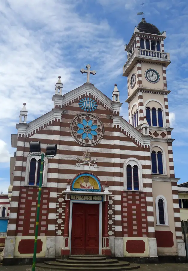
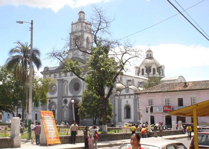
History & landmarks
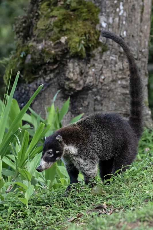
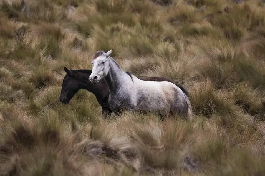
Nature
More places