Plizio Visual Lab
Puerto Francisco de Orellana
ℹ️Practical info — Puerto Francisco de Orellana
▾
🌤 Weather — 5 days
📍 Nearby
Sights nearby
💡 Tips
- Start your jungle tours early in the morning to avoid the peak heat and see more wildlife.
- For your own safety, only book Yasuní tours with licensed agencies in the city center.
- Rubber boots are essential for rainforest excursions; they can often be rented locally.
- Use the small motorized canoes ('Pekepakes') for authentic, short trips along the Napo River.
- The climate is extremely humid; pack your electronic devices in waterproof bags.
🍽 Food
Fish steamed in large leaves, a traditional Amazonian dish, offered in restaurants along the Malecón.
Grilled palm worms for the adventurous, often found at street stalls near the port.
A local, caffeinated tea of the indigenous Kichwa people, served in many city cafes for energy.
🛍 Shopping · 🧘 Quiet spots
Buy handmade ceramic bowls sold by local Kichwa women at the city's markets.
Necklaces and bracelets made from colorful rainforest seeds are popular souvenirs, available in small craft shops.
The waterfront promenade provides a beautiful view of the confluence of the Napo and Coca rivers, especially in the early evening.
A quiet, air-conditioned place to learn more about local indigenous history away from the busy streets.
Water temperature…
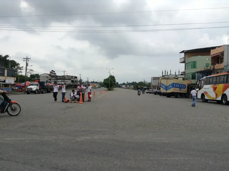
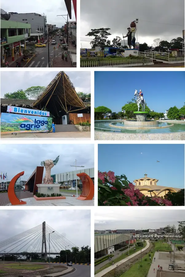
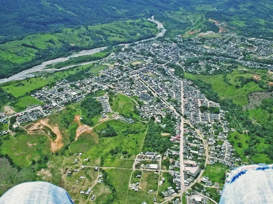
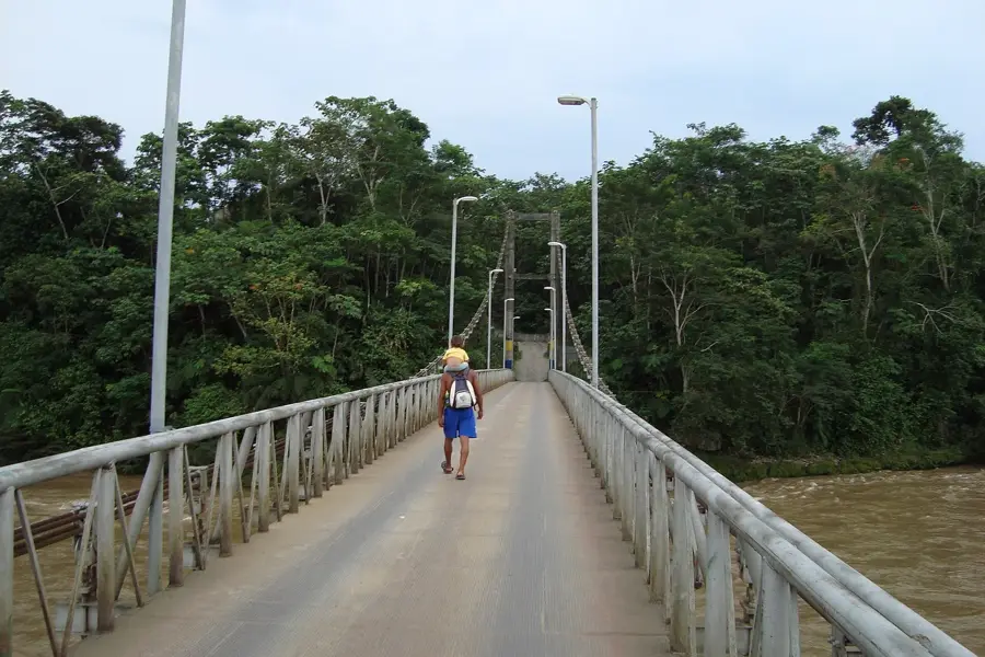
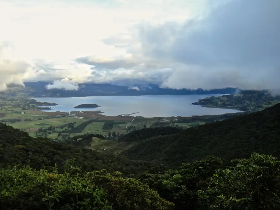
Puerto Francisco de Orellana, commonly known as El Coca, is the capital of the Orellana Province and a vital urban center in the heart of the Ecuadorian Amazon. Named after the explorer Francisco de Orellana, who embarked from this region on his historic voyage to discover the Amazon River in 1541, the city sits at the confluence of the Coca, Napo, and Payamino rivers. This strategic location has defined its history as a point of transit and commerce. For centuries, it was a remote outpost inhabited primarily by indigenous groups, but the discovery of significant oil reserves in the 1960s and 70s triggered a rapid transformation. Today, El Coca is the nerve center of Ecuador's oil industry, attracting workers and investment from across the nation and abroad. Beyond oil, the city has developed into a premier destination for ecotourism, serving as the main jumping-off point for expeditions into the Yasuní National Park and the Cuyabeno Wildlife Reserve. The urban landscape features modern amenities, including the impressive Napo Bridge, one of the longest in the country, which provides a critical link to the southern oil fields. The climate is characterized by high temperatures and significant rainfall throughout the year, sustaining the lush rainforest that surrounds the city limits. Culturally, the city is a melting pot where indigenous Kichwa and Waorani traditions blend with the modern lifestyle of the settler population. Local markets are bustling places where one can find jungle produce, traditional crafts, and diverse culinary offerings like maito de pescado. The local government focuses on sustainable urban planning to mitigate the environmental impacts of the oil industry and growing population. As a hub for both industry and environmental science, El Coca plays a pivotal role in the national economy and in global efforts to understand and preserve the Amazonian ecosystem. Its development reflects the complex interplay between resource extraction and the preservation of biological and cultural heritage.
- Location: Ecuador
- Top sights: Museo Arqueológico y Centro Cultural Orellana (MACCO) · Iglesia Católica Santa María de la Palabra (El Rancho) · Gnosis
- Nearby: Misahuallí (77 km)
- Population: ~48.144 (2026)
Best time to visit & climate
The most pleasant time to visit is Jul–Sep.
| Jan | Feb | Mar | Apr | May | Jun | Jul | Aug | Sep | Oct | Nov | Dec | |
|---|---|---|---|---|---|---|---|---|---|---|---|---|
| Avg °C | 25 | 25 | 25 | 25 | 24 | 24 | 24 | 25 | 25 | 25 | 25 | 25 |
| Rain mm | 164 | 188 | 235 | 225 | 240 | 218 | 181 | 144 | 147 | 189 | 218 | 210 |
Geography
Facts
- The city's elevation is approximately 255 meters (837 feet) above sea level.
- It serves as the seat of the Orellana Province, established in 1998.
- The Napo Bridge is a signature cable-stayed bridge spanning 590 meters.
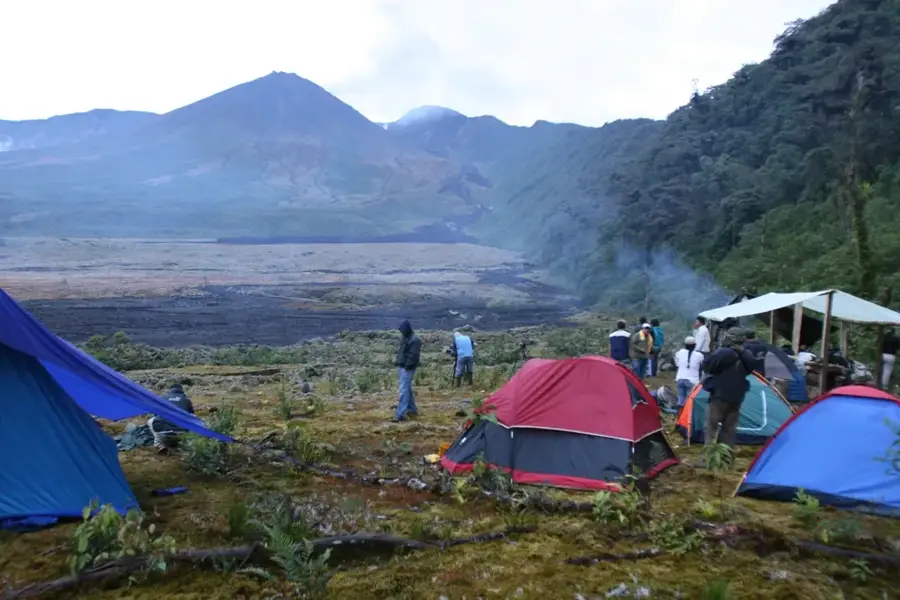
- The region is a gateway to the Yasuní National Park, famous for its biodiversity.
- The local economy is heavily dependent on the hydrocarbon sector.
- Average annual precipitation exceeds 3,200 mm, typical of a rainforest climate.
- The city was named after Francisco de Orellana, the explorer who first navigated the Amazon.
- It is located at the confluence of the Napo, Coca, and Payamino rivers.
Explore nearby
Notable places around
Route planner — Car & Motorhome
Where do you start? We build the route here, with stops and country notes along the way.
© OpenStreetMap contributors · OpenRouteService
Sights in the town Puerto Francisco de Orellana (5)
Frequently asked questions
What is Puerto Francisco de Orellana?
What can you do at the Malecón?
Are there any museums?
How is the weather?
How do you reach the city?
Puerto Francisco de Orellana: where is it located?
Puerto Francisco de Orellana: what is there to see?
Puerto Francisco de Orellana: when is the best time to visit?
Puerto Francisco de Orellana: why is it worth visiting?

Nearby cities

History & landmarks
Nature
More places