Plizio Visual Lab
Čabulja
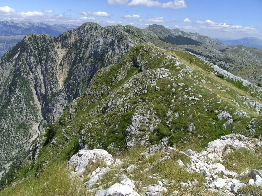
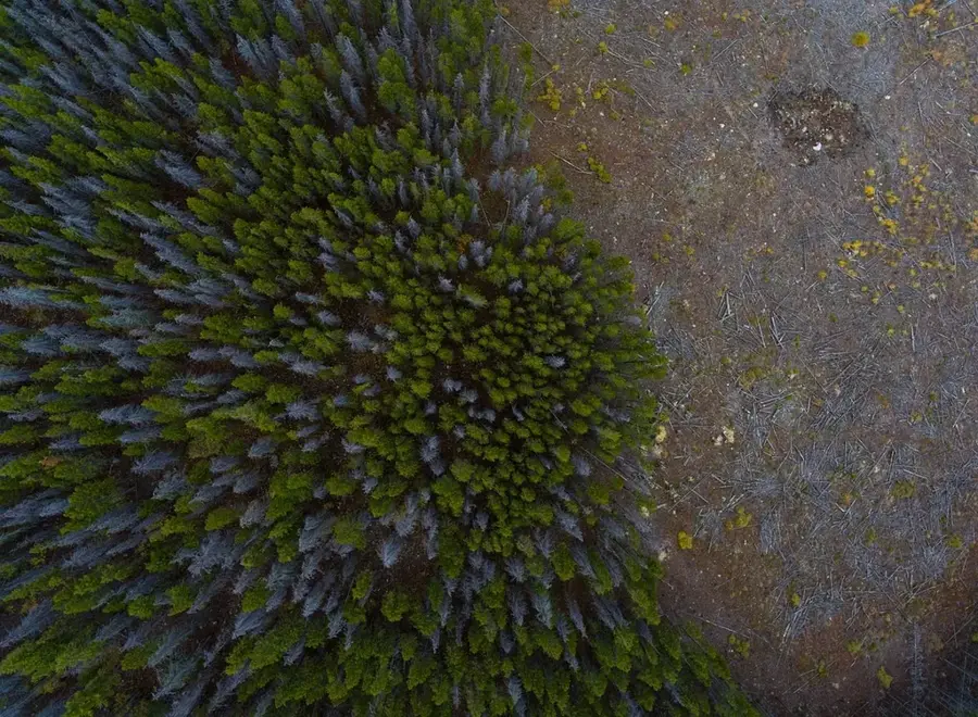
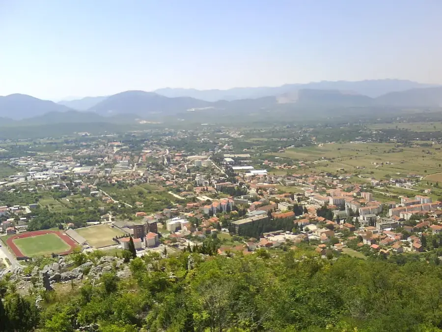
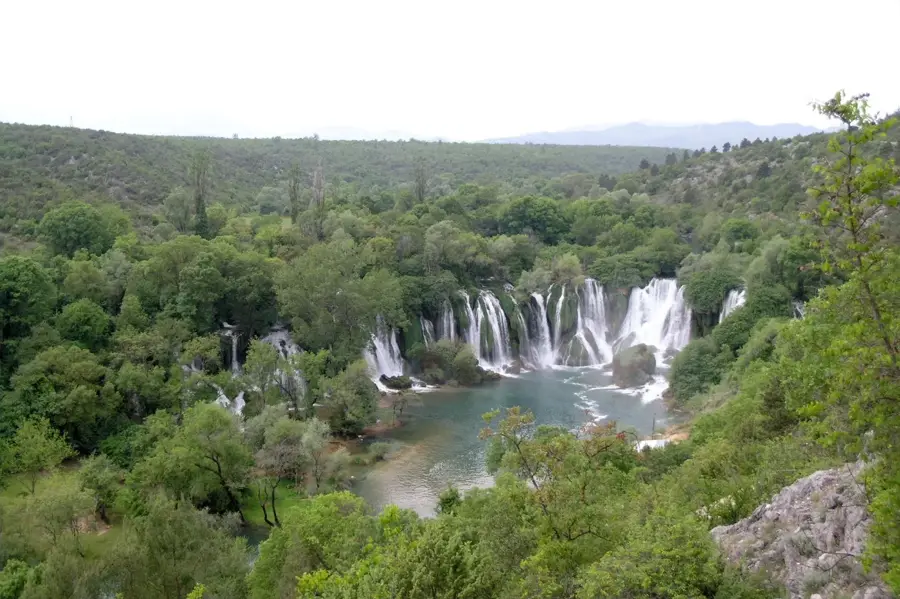
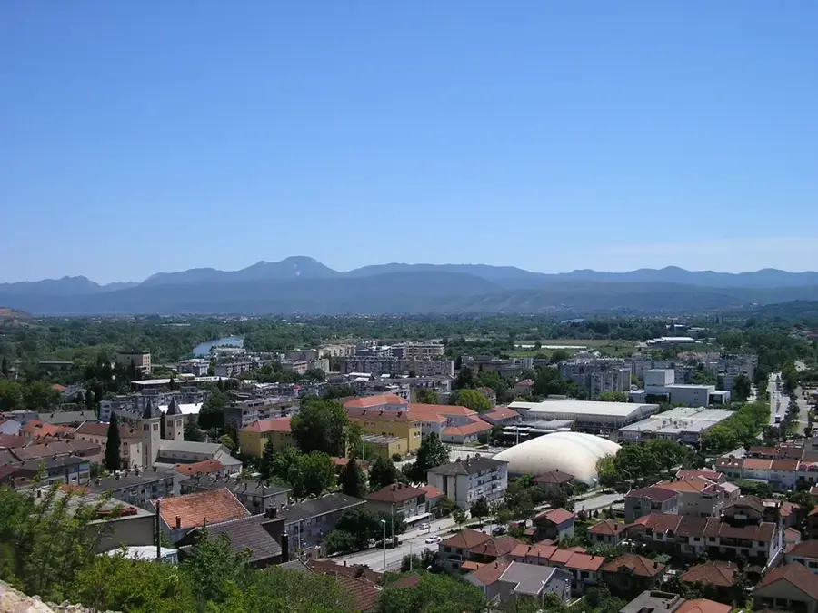
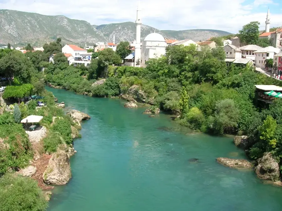
The Čabulja mountain range is located in western Herzegovina, directly north of the city of Mostar. Its highest peak is Velika Vlajna, standing at 1,786 meters, offering memorable views of the deeply incised Drežanka river valley and the Prenj massif on the opposite side. Geologically, Čabulja belongs to the outer Dinarides and consists primarily of Mesozoic limestone, resulting in a barren but fascinating karst landscape. Historically, the mountain was a center for pastoralism, with the high plateaus used in summer by shepherds from the lower Mostar regions. The southern side of the mountain drops steeply towards the Neretva valley and is characterized by a Mediterranean climate, while harsh mountain winds blow on the summits. The vegetation is sparser compared to the mountains of central Bosnia and consists mainly of drought-resistant grasses and shrubs, along with scattered black pine forests. In recent years, Čabulja has become a popular destination for hikers and mountain bikers who appreciate its proximity to Mostar and its wild solitude. Particularly striking is the rock face above the Drežanka river, which is over 1,000 meters high, making it one of the highest in the Dinarides.
- Location: Bosnia and Herzegovina
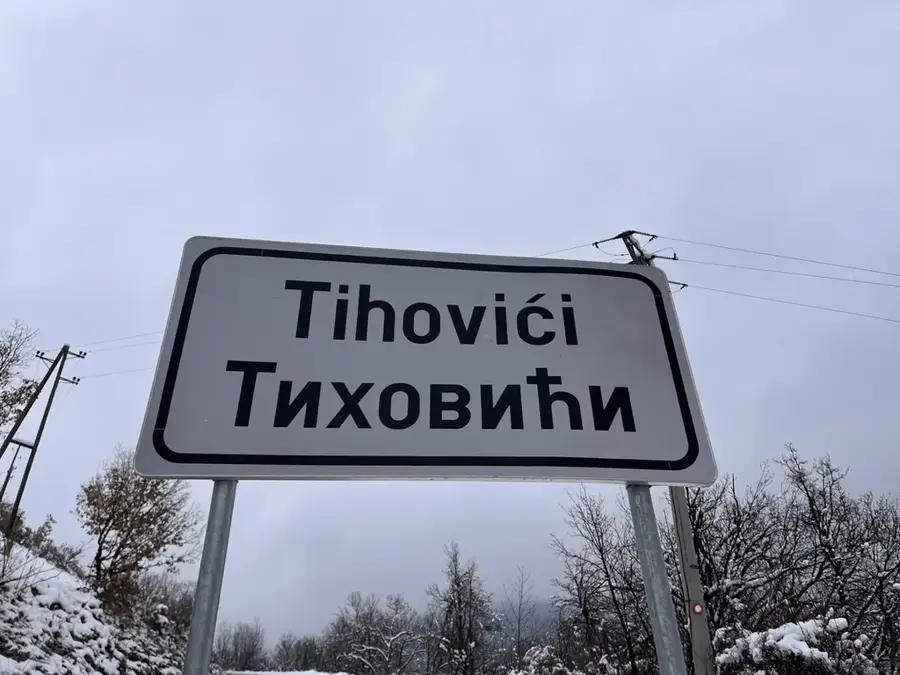
- Nearby: Široki Brijeg (11 km)
Best time to visit & climate
The most pleasant time to visit is Jun–Aug.
| Jan | Feb | Mar | Apr | May | Jun | Jul | Aug | Sep | Oct | Nov | Dec | |
|---|---|---|---|---|---|---|---|---|---|---|---|---|
| Avg °C | 0 | 1 | 4 | 9 | 13 | 18 | 21 | 22 | 16 | 11 | 6 | 1 |
| Rain mm | 105 | 99 | 88 | 73 | 64 | 52 | 32 | 40 | 84 | 95 | 128 | 123 |
📋 Practical info
Geography
Facts
- The highest point, Velika Vlajna, is at 1,786 meters.
- The rock wall above the Drežanka valley is over 1,100 meters high.
- The mountain separates the Neretva valley from the Bogodol plateau.
- In summer, temperatures on the southern slopes can exceed 40 °C.
- Čabulja is known for its numerous stone shepherd huts (stanovi).
- Geologically, Cretaceous limestones dominate the massif.
Explore nearby
Notable places around
Route planner — Car & Motorhome
Where do you start? We build the route here, with stops and country notes along the way.
© OpenStreetMap contributors · OpenRouteService
Sights in the town Čabulja (1)
Sights nearby
Frequently asked questions
Where is Mount Čabulja located?
What is the highest peak?
What view does Čabulja offer?
What vegetation predominates here?
Can the mountain be climbed in summer?
Čabulja: where is it located?
Čabulja: when is the best time to visit?
Čabulja: why is it worth visiting?
Nearby cities


History & landmarks
Nature
More places