Plizio Visual Lab
Čvrsnica
Weather…
Water temperature…
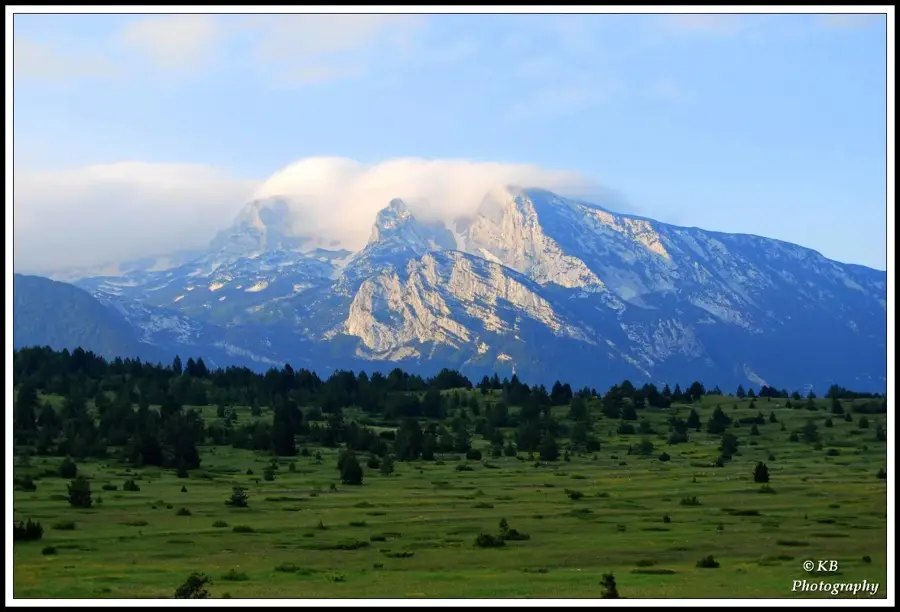
Mount Čvrsnica is one of the highest and most imposing mountain massifs in Bosnia and Herzegovina, located in northern Herzegovina on the right bank of the Neretva River. Its highest peak, Pločno, stands at 2,228 meters, making it the highest elevation in the central Dinaric Alps of the country. The mountain is renowned for its colossal vertical cliffs, particularly those dropping over 1,000 meters into the Diva Grabovica canyon. A key natural landmark of Čvrsnica is the 'Hajdučka vrata' (Outlaws' Gate), a unique natural stone arch carved by wind and erosion at an elevation of 2,000 meters. The massif is home to the Blidinje Nature Park, a high mountain plateau featuring Lake Blidinje and unique ecological systems. The area is characterized by vast stands of the endemic Bosnian pine (Pinus heldreichii), adapted to the harsh high-altitude climate. For experienced hikers, Čvrsnica has some of the most challenging terrains and spectacular vistas in the entire Balkan region.
- Location: Bosnia and Herzegovina
- Nearby: Blidinje Nature Park (7 km)
Best time to visit & climate
The most pleasant time to visit is Jun–Aug.
| Jan | Feb | Mar | Apr | May | Jun | Jul | Aug | Sep | Oct | Nov | Dec | |
|---|---|---|---|---|---|---|---|---|---|---|---|---|
| Avg °C | 0 | 1 | 4 | 9 | 13 | 18 | 21 | 22 | 16 | 11 | 6 | 1 |
| Rain mm | 105 | 99 | 88 | 73 | 64 | 52 | 32 | 40 | 84 | 95 | 128 | 123 |
📋 Practical info
Geography
Facts
- Pločno peak is the highest in the central Dinaric Alps at 2,228 meters.
- Hajdučka vrata is a circular natural arch with a diameter of roughly 4 meters.
- The Diva Grabovica canyon features rock faces exceeding 1,000 meters in height.
- Blidinje Nature Park covers approximately 358 square kilometers.
- The mountain hosts rare endemic species like the Bosnian Lily (Lilium bosniacum).
- The summit of Pločno features a major national radio and TV transmitter.
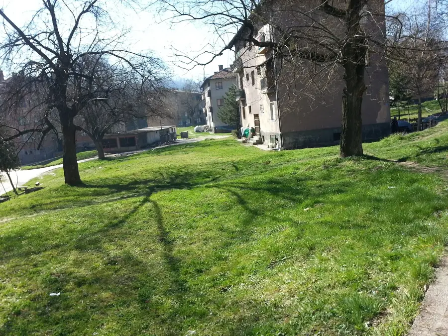
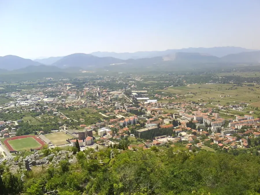
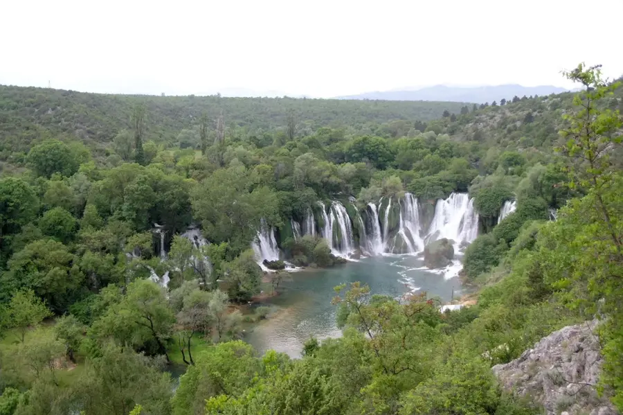
Explore nearby
Notable places around
Route planner — Car & Motorhome
Where do you start? We build the route here, with stops and country notes along the way.
© OpenStreetMap contributors · OpenRouteService
Sights nearby
Frequently asked questions
How high is the highest point of Čvrsnica?
How do you get to Hajdučka Vrata?
Are there ski slopes there?
What is the view from Pločno like?
Are there mountain huts?
Čvrsnica: where is it located?
Čvrsnica: when is the best time to visit?
Čvrsnica: why is it worth visiting?
Nearby cities