Plizio Visual Lab
Vlasulja
Weather…
Water temperature…
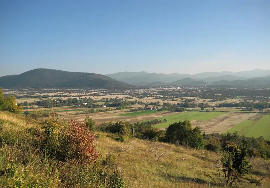
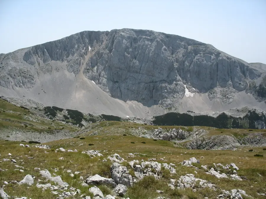
Vlasulja is the highest peak of the Volujak mountain range, situated on the border between Bosnia and Herzegovina and Montenegro. Rising to a majestic elevation of 2,336 meters, it is one of the highest points in the Dinaric Alps, offering an unparalleled alpine panorama. The massif is primarily composed of massive Cretaceous limestone formations, sculpted by Pleistocene glaciers into deep cirques and sheer rock faces. The surroundings of Vlasulja are characterized by a stark high-mountain landscape, featuring vast scree slopes and alpine meadows that host specialized mountain flora. Historically, this border region often served as a dividing line between different empires and was the site of numerous frontier skirmishes over the centuries. Today, the peak is a highly sought-after destination for mountaineers, providing challenging ascents and clear views extending to the Durmitor massif in Montenegro and Maglić in Bosnia. The area's remote location ensures that the natural dynamics of the ecosystem remain largely undisturbed, making Vlasulja a vital sanctuary for rare species such as chamois and brown bears.
- Location: Bosnia and Herzegovina
- Top sights: Živanj · Bahori · Mrđenovići
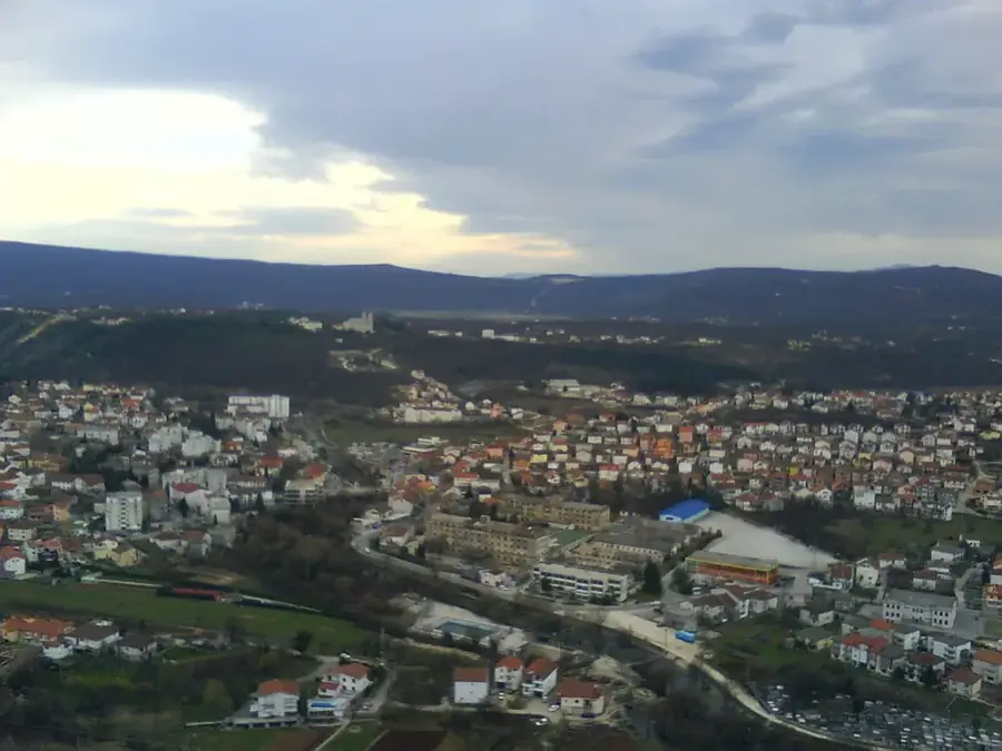
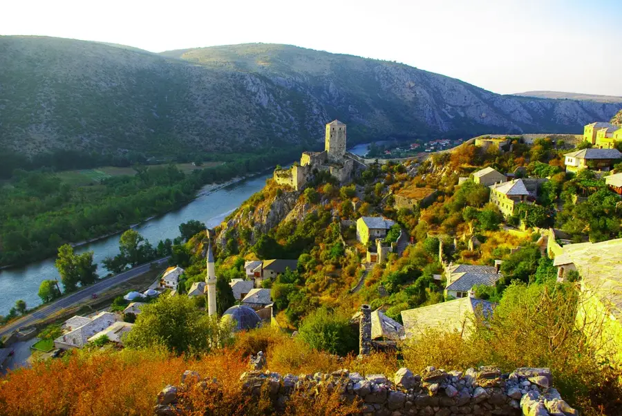
- Nearby: Gacko (8 km)
Best time to visit & climate
The most pleasant time to visit is Jun–Aug.
| Jan | Feb | Mar | Apr | May | Jun | Jul | Aug | Sep | Oct | Nov | Dec | |
|---|---|---|---|---|---|---|---|---|---|---|---|---|
| Avg °C | -2 | -1 | 2 | 7 | 11 | 15 | 18 | 18 | 13 | 9 | 4 | -1 |
| Rain mm | 134 | 131 | 121 | 93 | 89 | 83 | 52 | 49 | 104 | 124 | 162 | 152 |
📋 Practical info
Geography
Facts
- Vlasulja is the highest point of the Volujak range at 2,336 meters.
- The peak is located directly on the international border with Montenegro.
- Geologically, the massif is dominated by limestone from the Cretaceous period.
- The mountain offers a direct view of the heart-shaped Trnovačko Lake below.
- Climbing Vlasulja typically requires good physical fitness and mountain experience.
- The massif is part of a transborder ecological corridor between Sutjeska and Durmitor.
Explore nearby
Notable places around
Route planner — Car & Motorhome
Where do you start? We build the route here, with stops and country notes along the way.
© OpenStreetMap contributors · OpenRouteService
Sights in the town Vlasulja (3)
Sights nearby
Frequently asked questions
What is Vlasulja?
How to reach the summit?
Is technical climbing gear required?
What view does the summit offer?
Is there drinking water along the way?
Vlasulja: where is it located?
Vlasulja: what is there to see?
Vlasulja: when is the best time to visit?
Vlasulja: why is it worth visiting?
Nearby cities


History & landmarks
Nature
More places