Plizio Visual Lab
Prenj
Weather…
Water temperature…
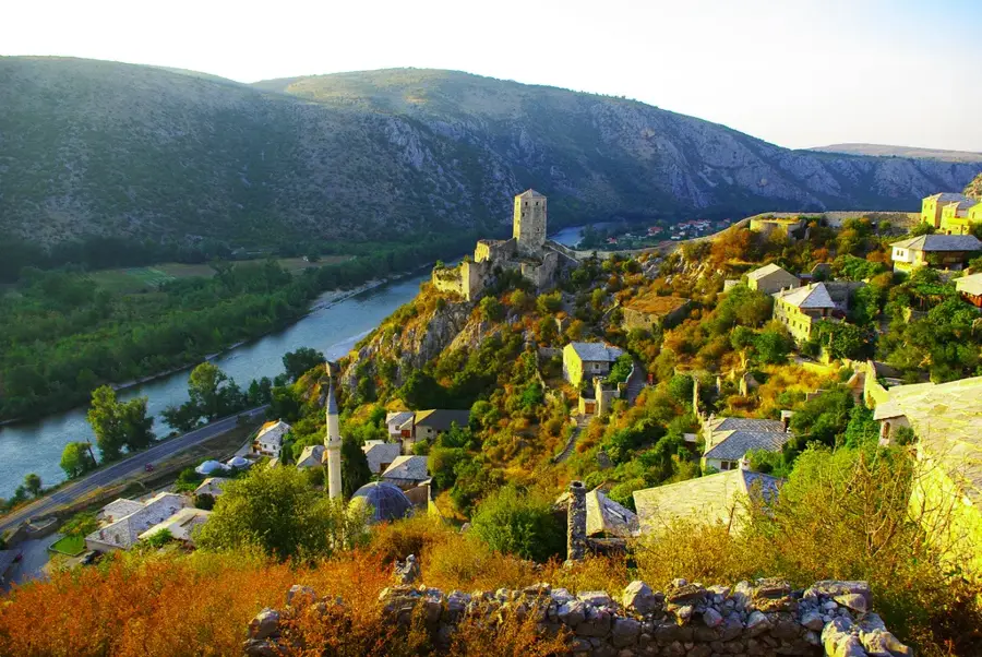
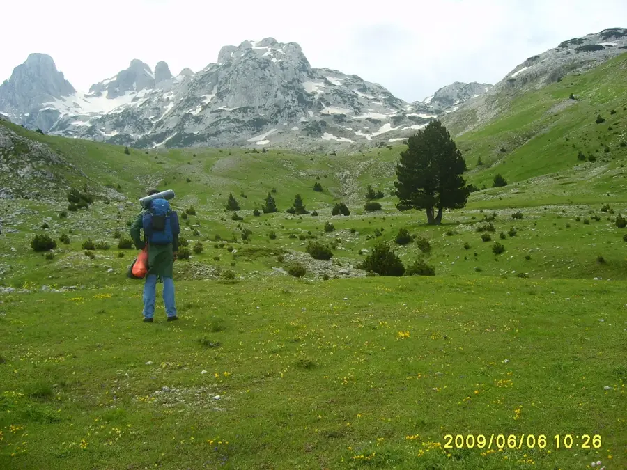
Mount Prenj is widely regarded as the most impressive and alpine-like mountain range in Bosnia and Herzegovina, often called the 'Herzegovinian Alps'. Located in northern Herzegovina, it is encircled by the deep bend of the Neretva River between Konjic and Mostar. The massif is characterized by its sharp limestone peaks, with eleven summits soaring above 2,000 meters, the highest being Zelena Glava at 2,103 meters. The landscape of Prenj is a dramatic mix of deep glacial valleys, vast karst plateaus, and ancient pine forests that give way to rugged high-altitude terrain. It is known for its remote and untamed nature, making it a premier destination for experienced mountaineers and wilderness hikers. Geologically, Prenj provides a textbook example of glacial erosion within the Dinaric Alps, featuring prominent moraines and U-shaped valleys. Despite the harsh climate, the mountain is a sanctuary for unique flora, including numerous endemic species that thrive in its rocky environment.
- Location: Bosnia and Herzegovina
- Nearby: Boračko Lake (11 km)
Best time to visit & climate
The most pleasant time to visit is Jun–Aug.
| Jan | Feb | Mar | Apr | May | Jun | Jul | Aug | Sep | Oct | Nov | Dec | |
|---|---|---|---|---|---|---|---|---|---|---|---|---|
| Avg °C | -1 | -1 | 3 | 8 | 12 | 16 | 19 | 19 | 14 | 10 | 5 | 0 |
| Rain mm | 101 | 96 | 91 | 76 | 77 | 74 | 48 | 48 | 86 | 98 | 120 | 115 |
📋 Practical info
Geography
Facts
- The highest peak of Prenj, Zelena Glava, stands at 2,103 meters.
- There are 11 distinct peaks within the massif exceeding 2,000 meters.
- The mountain was named after the Slavic god of thunder, Perun.
- The Tisovica valley is one of the most famous glacial valleys in the Balkans.
- Prenj is home to the rare endemic plant 'Lilium bosniacum'.
- The massif covers an area of roughly 600 square kilometers.
Explore nearby
Notable places around
Route planner — Car & Motorhome
Where do you start? We build the route here, with stops and country notes along the way.
© OpenStreetMap contributors · OpenRouteService
Sights nearby
Frequently asked questions
What is the highest peak on Prenj?
Why is Prenj dangerous?
Where do hikes start?
Are there climbing routes there?
What is the vegetation like?
Prenj: where is it located?
Prenj: when is the best time to visit?
Prenj: why is it worth visiting?
Nearby cities