Plizio Visual Lab
Bjelašnica

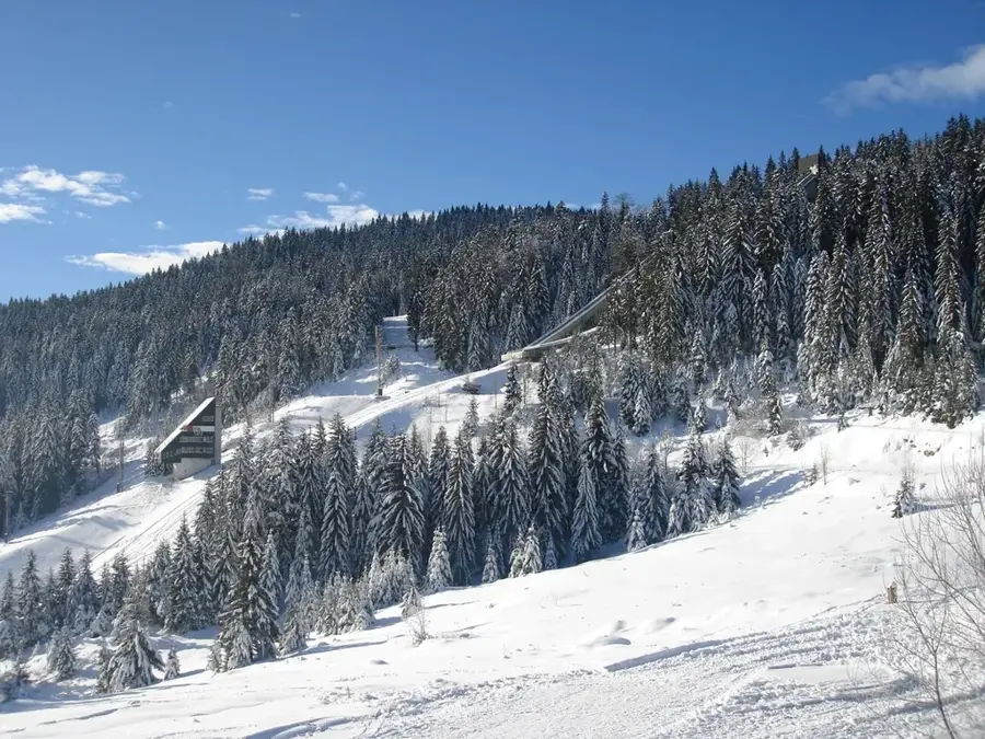
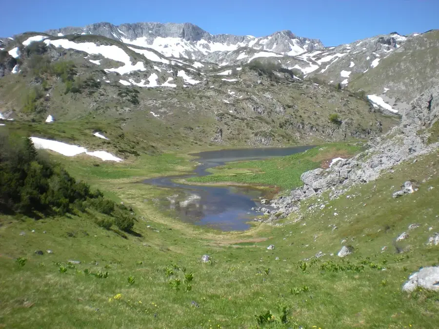
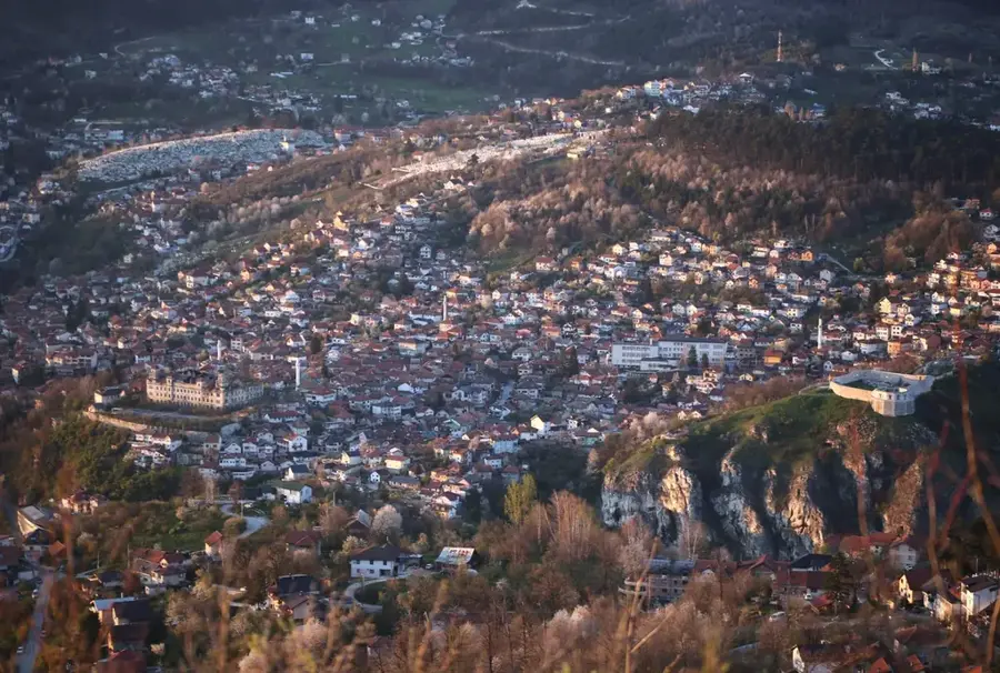
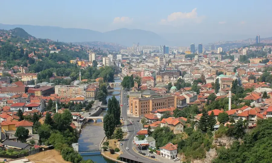
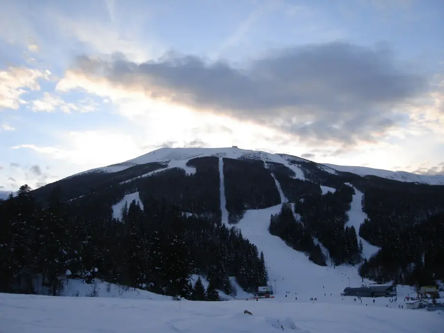
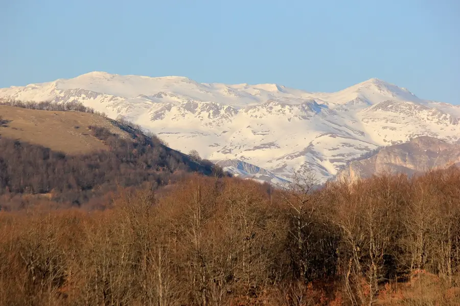
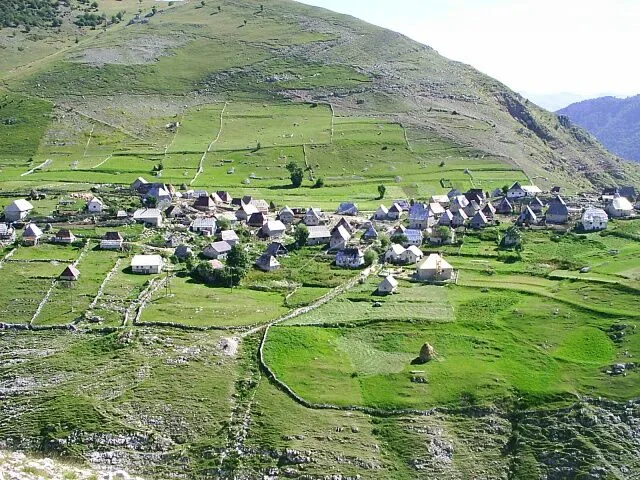
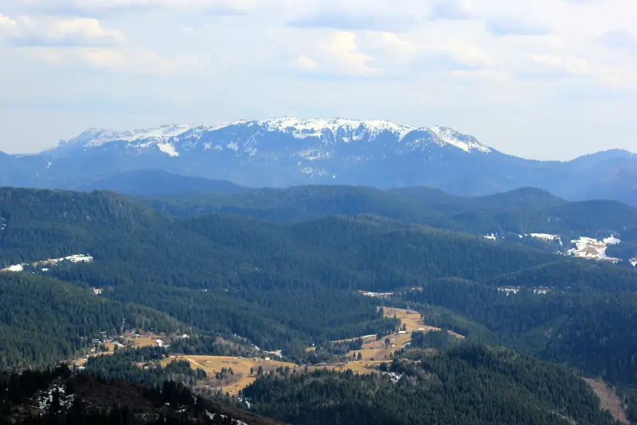
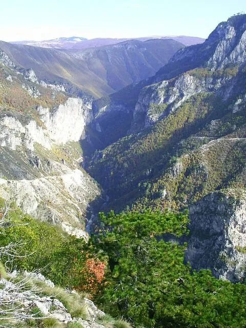
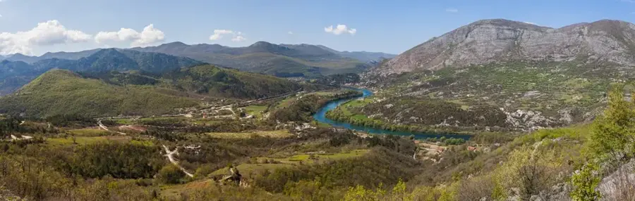
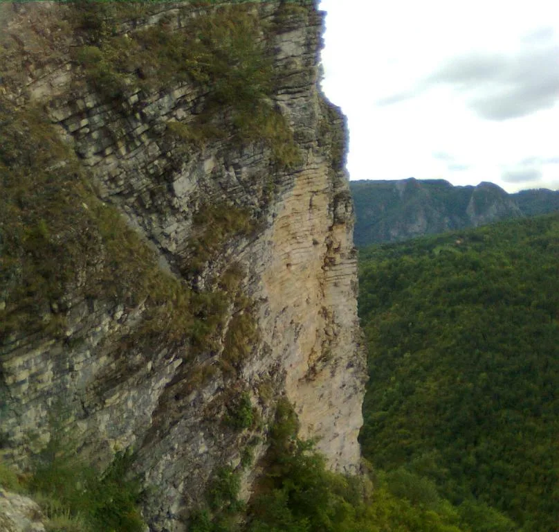
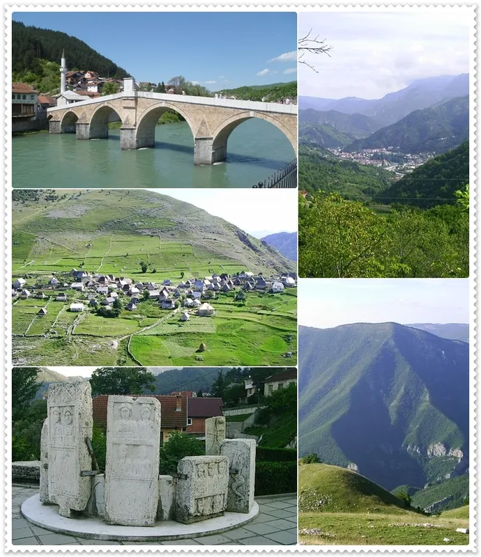
Bjelašnica is a prominent mountain range in central Bosnia and Herzegovina, located southwest of Sarajevo. Reaching a maximum elevation of 2,067 meters at the Opservatorija peak, it is famous for its extreme weather conditions and its role as a venue for the 1984 Winter Olympics. During the games, it hosted the men's alpine skiing events, which spurred the development of world-class skiing infrastructure. At the summit stands a meteorological station established in 1894 under Austro-Hungarian rule, making it the first of its kind in the Balkans. The mountain landscape is defined by karst features, deep canyons, and vast plateaus that host unique flora and fauna. Beyond winter sports, Bjelašnica provides numerous opportunities for hiking, mountain biking, and visiting traditional mountain villages like Lukomir during the summer. Its proximity to Sarajevo makes it an essential recreational hub for both locals and international visitors.
- Location: Bosnia and Herzegovina
- Top sights: Magic Space Zip Line (1000m) · Bjelašnica · Prašuma Ravna Vala
- Nearby: Igman (7 km)
Best time to visit & climate
The most pleasant time to visit is Jun–Aug.
| Jan | Feb | Mar | Apr | May | Jun | Jul | Aug | Sep | Oct | Nov | Dec | |
|---|---|---|---|---|---|---|---|---|---|---|---|---|
| Avg °C | -2 | -1 | 3 | 7 | 12 | 16 | 18 | 18 | 13 | 9 | 4 | -1 |
| Rain mm | 89 | 87 | 86 | 74 | 86 | 101 | 65 | 55 | 84 | 92 | 108 | 100 |
📋 Practical info
Geography
Facts
- The highest peak of Bjelašnica is Opservatorija at 2,067 meters.
- It hosted the men's alpine skiing events during the 1984 Winter Olympics.
- The meteorological station at the summit began operations in 1894.
- The name 'Bjelašnica' comes from the Slavic word for 'white' due to its snow cover.
- The mountain range is part of the Dinaric Alps in Southeastern Europe.
- The skiing season here often lasts from December until the month of April.
Explore nearby
Notable places around
Route planner — Car & Motorhome
Where do you start? We build the route here, with stops and country notes along the way.
© OpenStreetMap contributors · OpenRouteService
Sights in the town Bjelašnica (5)
Sights nearby
Frequently asked questions
How far is Bjelašnica from Sarajevo?
When does the ski season start?
Are there activities in summer?
Are the ski lifts modern?
Is there ski rental on-site?
Bjelašnica: where is it located?
Bjelašnica: what is there to see?
Bjelašnica: when is the best time to visit?
Bjelašnica: why is it worth visiting?
Nearby cities


History & landmarks

Nature
More places