Plizio Visual Lab
Trnovo (Federation)
ℹ️Practical info — Trnovo (Federation)
▾
🌤 Weather — 5 days
📍 Nearby
Sights nearby
💡 Tips
- Visit 'Kazani' near Turovi to see natural limestone 'cauldrons' carved by the Željeznica River.
- Hike to Lukomir, the highest village in Bosnia, for striking views of the Rakitnica Canyon.
- Stay strictly on marked trails on Treskavica Mountain due to historical landmine risks.
- Visit the 'War Mosque' (Ratna džamija) on Igman Mountain, hidden deep in the forest.
- The best hiking season in this mountainous region is from late May to October.
🍽 Food
Try authentic varieties like burek or sirnica in mountain villages like Umoljani.
Often served in Lukomir with fresh bread and kajmak; ask for it in local mountain guesthouses.
A specialty in the mountain restaurants along the main roads leading to Sarajevo.
🛍 Shopping · 🧘 Quiet spots
Hand-knitted socks and sweaters made from sheep wool, sold by women in the village.
Buy fresh mountain honey and foraged berries at stalls along the mountain roads in Bjelašnica.
A peaceful excursion site near Babin Do featuring a stone amphitheater and hiking trails.
Large, oxygen-rich plateaus excellent for quiet walks in nature.
Water temperature…
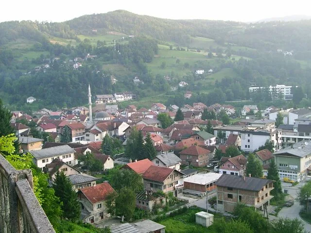
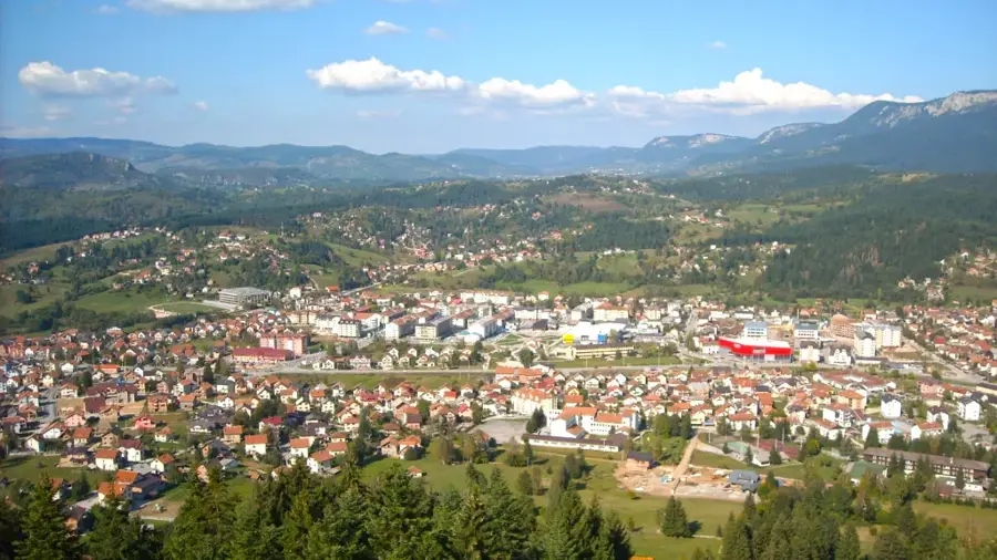
Trnovo is a municipality in the Sarajevo Canton of the Federation of Bosnia and Herzegovina. Following the 1995 Dayton Agreement, the pre-war municipality of Trnovo was divided, with the larger, mountainous portion assigned to the Federation entity. Located about 30 kilometers south of Sarajevo, the municipality encompasses parts of the majestic Bjelašnica, Igman, and Treskavica mountain ranges. This geography makes Trnovo a hub for winter tourism and outdoor activities, as it contains venues used during the 1984 Winter Olympic Games. The region is exceptionally rich in water resources, including the headwaters of the Željeznica and Rakitnica rivers, and is covered by dense forests. Despite significant wartime damage, Trnovo has re-emerged as a popular getaway for Sarajevo residents seeking alpine air and spectacular hiking trails. The local economy is currently driven by tourism, forestry, and ongoing infrastructure expansion projects.
- Location: Bosnia and Herzegovina
- Nearby: Istočno Trnovo (7 km)
Best time to visit & climate
The most pleasant time to visit is Jun–Aug.
| Jan | Feb | Mar | Apr | May | Jun | Jul | Aug | Sep | Oct | Nov | Dec | |
|---|---|---|---|---|---|---|---|---|---|---|---|---|
| Avg °C | -2 | -1 | 3 | 7 | 12 | 16 | 18 | 18 | 13 | 9 | 4 | -1 |
| Rain mm | 89 | 87 | 86 | 74 | 86 | 101 | 65 | 55 | 84 | 92 | 108 | 100 |
Geography
Facts
- Division of the municipality by the 1995 Dayton Agreement
- Contains parts of the Bjelašnica Olympic skiing areas
- Situated at an average elevation of about 800 meters
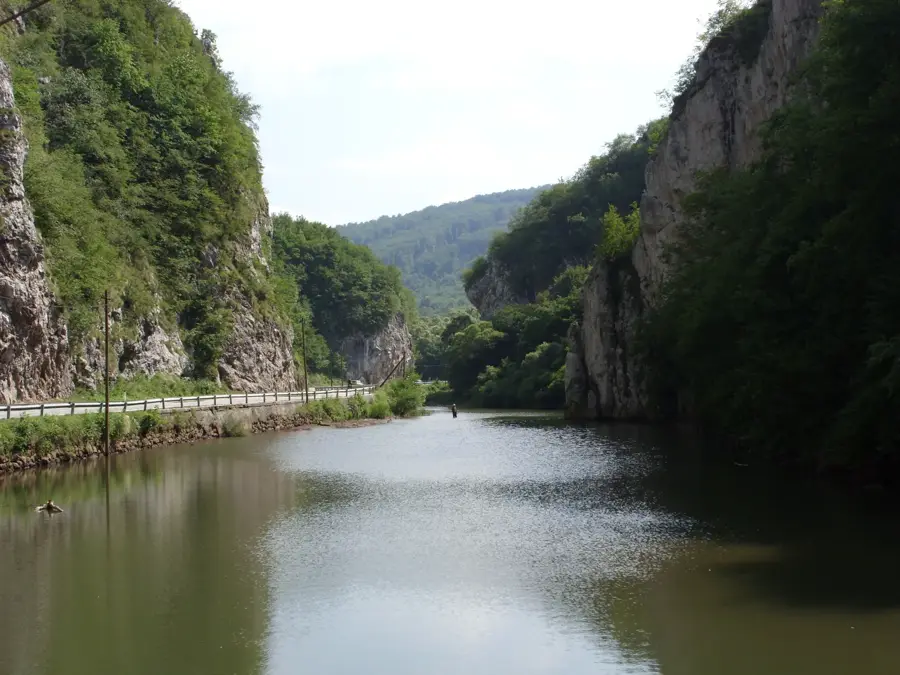
- The Rakitnica canyon is among the deepest in Europe
- Located roughly 30 km south of the capital, Sarajevo
- Key stop on the main road leading to Montenegro via Foča
Explore nearby
Notable places around
Route planner — Car & Motorhome
Where do you start? We build the route here, with stops and country notes along the way.
© OpenStreetMap contributors · OpenRouteService
Sights in the town Trnovo (Federation) (1)
Frequently asked questions
Which ski areas are in Trnovo?
Can you hike here in summer?
What is Lukomir village?
How far is it from Sarajevo?
What should you try in the mountains?
Trnovo (Federation): where is it located?
Trnovo (Federation): when is the best time to visit?
Trnovo (Federation): why is it worth visiting?
Nearby cities