Plizio Visual Lab
Bosna
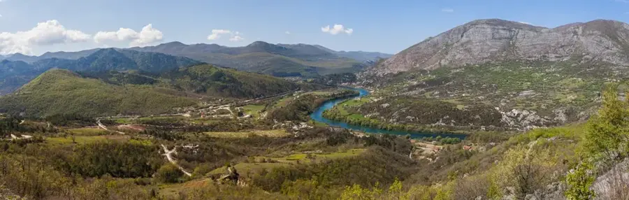
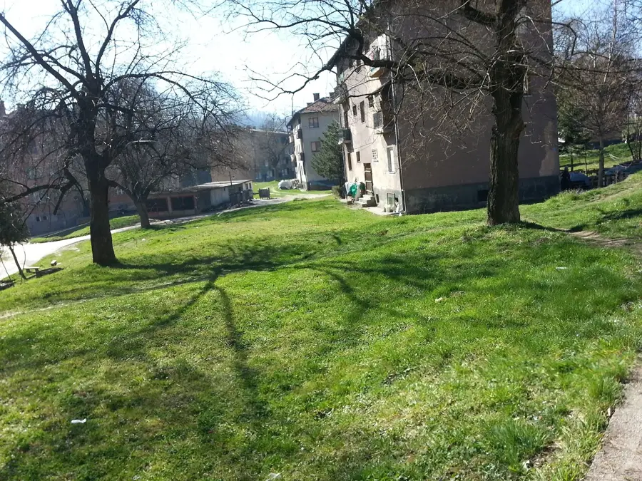
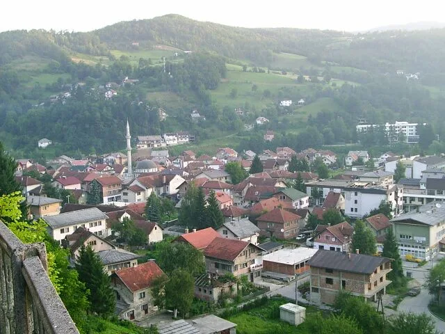
The Bosna River is the main internal waterway of Bosnia and Herzegovina and the source of the country's name. It originates from the powerful karst spring Vrelo Bosne at the foot of Mount Igman near Sarajevo, which is a protected natural monument and a popular recreational site. Flowing for approximately 271 kilometers entirely within the national borders, it runs northward to join the Sava River at Bosanski Šamac. The Bosna Valley has historically been the economic and demographic heart of the country, containing major industrial and cultural centers such as Zenica and Doboj. The river alternates between wide basins and narrow canyons, creating a diverse landscape that has supported human settlement since prehistoric times. Ecologically, the river faces challenges from industrial runoff in its middle reaches, yet its headwaters maintain high water quality and biodiversity. Historically, the valley served as the cradle of the medieval Bosnian state, with numerous fortresses and archaeological sites lining its banks.
- Location: Bosnia and Herzegovina
- Top sights: Vrelo Bosne · Nucleus zone - Vrelo Bosne Nature Monument · Crkva Svetog Save
- Nearby: Hadžići (5 km)
Best time to visit & climate
The most pleasant time to visit is Jun–Aug.
| Jan | Feb | Mar | Apr | May | Jun | Jul | Aug | Sep | Oct | Nov | Dec | |
|---|---|---|---|---|---|---|---|---|---|---|---|---|
| Avg °C | -2 | -1 | 2 | 7 | 12 | 16 | 18 | 18 | 13 | 9 | 4 | -1 |
| Rain mm | 63 | 64 | 69 | 69 | 99 | 103 | 75 | 61 | 77 | 71 | 74 | 73 |
📋 Practical info
Geography
Facts
- The Bosna River has a total length of approximately 271 kilometers.
- The Vrelo Bosne spring is located at an altitude of 492 meters.
- The river's drainage basin covers approximately 10,457 square kilometers.
- The Bosna flows through major cities including Sarajevo, Zenica, and Doboj.
- The average discharge at its confluence with the Sava is 174 m³/s.
- The river is the longest river that flows entirely within Bosnia and Herzegovina.
Explore nearby
Notable places around
Route planner — Car & Motorhome
Where do you start? We build the route here, with stops and country notes along the way.
© OpenStreetMap contributors · OpenRouteService
Sights in the town Bosna (7)
Vrelo Bosne Nature Monument
Protected natural area at the source of the Bosna river near Sarajevo.
I hearts Stojcevac
Tourist viewpoint with a heart sculpture in Stojčevac.
Rimski most
Ancient Roman stone bridge over the Bosna river.
Sights nearby
Frequently asked questions
Where does the Bosna river originate?
Can you visit the source?
How long is the river?
What animals can be seen at the source?
Are there horse carriage rides there?
Bosna: where is it located?
Bosna: what is there to see?
Bosna: when is the best time to visit?
Bosna: why is it worth visiting?
Nearby cities