Plizio Visual Lab
Treskavica
Weather…
Water temperature…
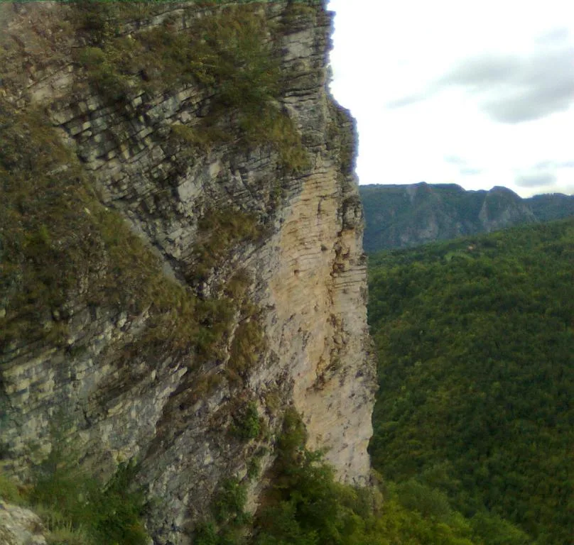
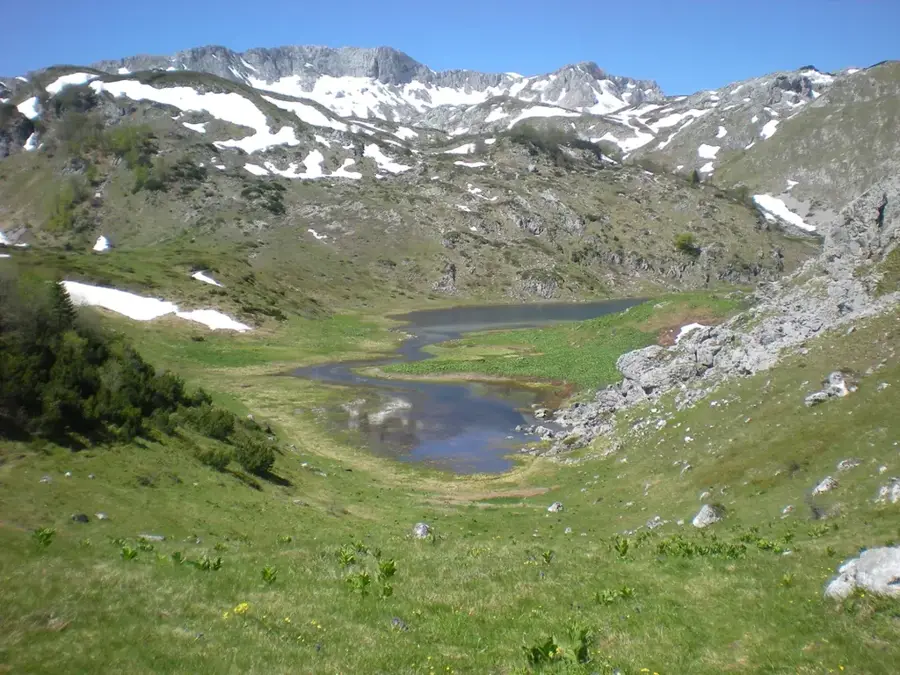
The Treskavica Mountain, located south of Sarajevo, is considered one of the most beautiful and water-rich mountain ranges in Bosnia and Herzegovina. Its highest peak, Mala Ćaba (also known as Đokin toranj), rises to 2,086 meters, towering significantly over the surrounding plateaus. The name 'Treskavica' is likely derived from frequent lightning strikes or earthquakes, emphasizing the dynamic character of this massif. Geologically, Treskavica is known for its impressive limestone formations and deep precipices, but its true hallmark is the numerous mountain lakes, such as Veliko, Bijelo, and Crno jezero. These glacial lakes are set in an alpine landscape and serve as vital drinking water reservoirs as well as popular destinations for hikers. The mountain is the source of many rivers, including the Ljuta and Rakitnica, which have carved out spectacular canyons. Vegetation ranges from dense beech forests in the valleys to alpine meadows in the peak regions, where rare endemic plants bloom. Despite its beauty, the mountain bears the scars of the Bosnian War, so hikers today should strictly adhere to marked paths.
- Location: Bosnia and Herzegovina
- Top sights: Mala Ćaba · Nekropola Gornja Bara
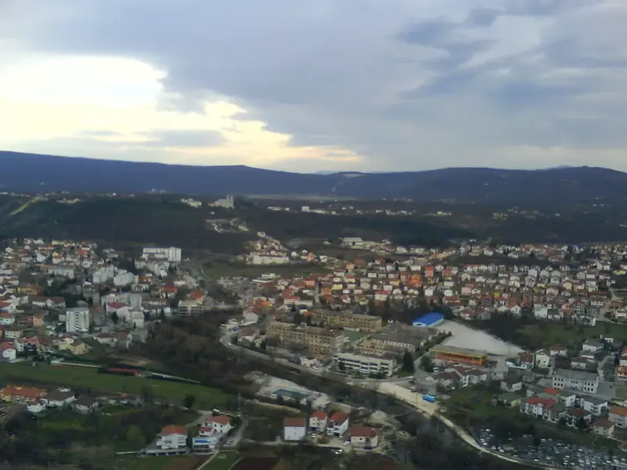
- Nearby: Istočno Trnovo (8 km)
Best time to visit & climate
The most pleasant time to visit is Jun–Aug.
| Jan | Feb | Mar | Apr | May | Jun | Jul | Aug | Sep | Oct | Nov | Dec | |
|---|---|---|---|---|---|---|---|---|---|---|---|---|
| Avg °C | -2 | -1 | 3 | 7 | 12 | 16 | 18 | 18 | 13 | 9 | 4 | -1 |
| Rain mm | 89 | 87 | 86 | 74 | 86 | 101 | 65 | 55 | 84 | 92 | 108 | 100 |
📋 Practical info
Geography
Facts
- Mala Ćaba is the highest peak of Treskavica at 2,086 meters.
- The mountain hosts five large and several small glacial lakes.
- Lake Veliko is situated at an elevation of 1,548 meters.
- Treskavica has more than 365 springs, one for every day of the year.
- The Rakitnica canyon marks the boundary with the neighboring Bjelašnica massif.
- Endemic plants such as the Bosnian Lily can be found here.
Explore nearby
Notable places around
Route planner — Car & Motorhome
Where do you start? We build the route here, with stops and country notes along the way.
© OpenStreetMap contributors · OpenRouteService
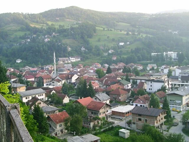
Sights in the town Treskavica (2)
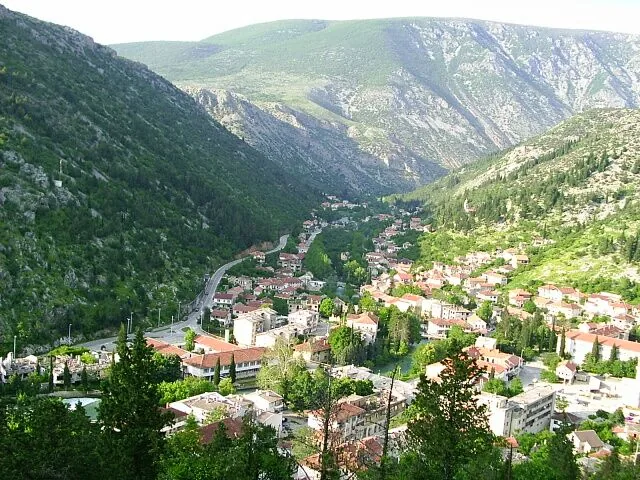
Sights nearby
Frequently asked questions
What is the Treskavica mountain?
How many lakes are there on Treskavica?
How high is the highest peak?
Are there dangers while hiking?
How do you reach the mountain from Sarajevo?
Treskavica: where is it located?
Treskavica: what is there to see?
Treskavica: when is the best time to visit?
Treskavica: why is it worth visiting?
Nearby cities