Plizio Visual Lab
Visočica
Weather…
Water temperature…
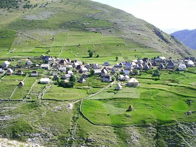
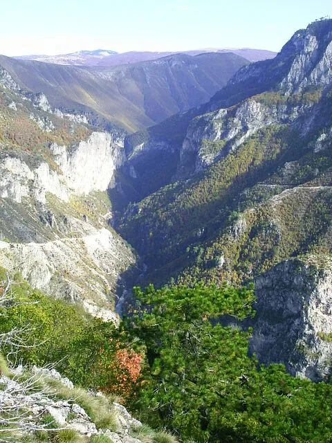
The Visočica mountain range is located south of Sarajevo, bordered to the north by the Bjelašnica massif and to the south by the remarkable Rakitnica Canyon. Its highest peak, Džamija, reaches an altitude of 1,967 meters and is renowned for its distinctive shape. The mountain is characterized by a rugged, alpine landscape with deep valleys and vast plateaus where traditional mountain villages like Lukomir can still be found today. Historically, the region is of great significance, hosting numerous necropolises of medieval tombstones known as stećci, which are part of the UNESCO World Heritage. Geologically, Visočica is a classic karst mountain with pronounced surface features and numerous springs that feed the surrounding rivers. The flora is exceptionally diverse and includes many endemic species adapted to the extreme climatic conditions of the high Alps. During winter, the mountain is often buried under a thick blanket of snow for months, making it a challenging destination for ski touring. In summer, however, the cool plateaus attract hikers looking to explore the region's pristine nature and cultural treasures.
- Location: Bosnia and Herzegovina
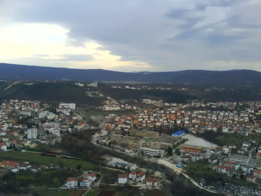
- Nearby: Bjelimići (8 km)
Best time to visit & climate
The most pleasant time to visit is Jun–Aug.
| Jan | Feb | Mar | Apr | May | Jun | Jul | Aug | Sep | Oct | Nov | Dec | |
|---|---|---|---|---|---|---|---|---|---|---|---|---|
| Avg °C | -1 | -1 | 3 | 8 | 12 | 16 | 19 | 19 | 14 | 10 | 5 | 0 |
| Rain mm | 101 | 96 | 91 | 76 | 77 | 74 | 48 | 48 | 86 | 98 | 120 | 115 |
📋 Practical info
Geography
Facts
- The highest peak, Džamija, stands at 1,967 meters.
- The Rakitnica Canyon separates Visočica from the Bjelašnica mountain.
- Lukomir village, at 1,495 meters, is the highest settlement in the country.
- There are over 100 registered stećci tombstones in the region.
- The mountain serves as a crucial water reservoir for the Neretva basin.
- The average temperature on the high plateaus in January is -5 °C.
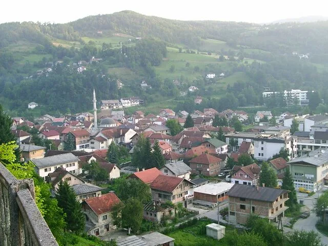
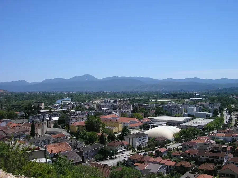
Explore nearby
Notable places around
Route planner — Car & Motorhome
Where do you start? We build the route here, with stops and country notes along the way.
© OpenStreetMap contributors · OpenRouteService
Sights in the town Visočica (1)
Sights nearby
Frequently asked questions
What separates Visočica from Mount Bjelašnica?
How high is the highest peak of Visočica?
What is special about the villages here?
Can Stećci be seen on Visočica?
How is the terrain for hikers?
Visočica: where is it located?
Visočica: when is the best time to visit?
Visočica: why is it worth visiting?
Nearby cities