Plizio Visual Lab
Igman
Weather…
Water temperature…
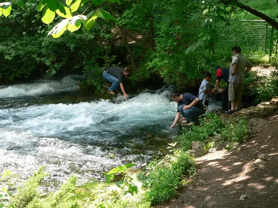
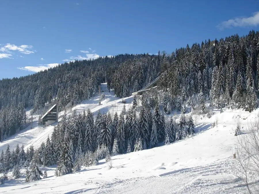
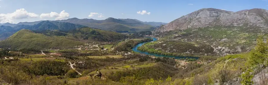
Mount Igman is a mountain range in central Bosnia and Herzegovina, situated southwest of Sarajevo and forming part of the Dinaric Alps. Its highest peak, Crni Vrh, reaches an elevation of 1,502 meters, making it a prominent feature of the local landscape. Igman gained global recognition during the 1984 Winter Olympics, as it hosted the ski jumping, cross-country skiing, and biathlon events. The mountain is renowned for a unique microclimate; due to temperature inversions, it recorded a record low temperature for the region of -43.5 degrees Celsius. Geologically, the plateau is composed of limestone, resulting in numerous karst features such as sinkholes and deep caves. During the Siege of Sarajevo in the 1990s, the mountain served as a strategic lifeline for the city. Today, it is a key recreational area offering extensive trails for hiking and mountain biking in the summer, and professional-grade facilities for winter sports.
- Location: Bosnia and Herzegovina
- Top sights: Igmanski marš · Podium Ski Jump Sarajevo'84 · Prašuma Ravna Vala
- Nearby: Bjelašnica (5 km)
Best time to visit & climate
The most pleasant time to visit is Jun–Aug.
| Jan | Feb | Mar | Apr | May | Jun | Jul | Aug | Sep | Oct | Nov | Dec | |
|---|---|---|---|---|---|---|---|---|---|---|---|---|
| Avg °C | -2 | -1 | 2 | 7 | 12 | 16 | 18 | 18 | 13 | 9 | 4 | -1 |
| Rain mm | 63 | 64 | 69 | 69 | 99 | 103 | 75 | 61 | 77 | 71 | 74 | 73 |
📋 Practical info
Geography
Facts
- The highest peak of Mount Igman is Crni Vrh at 1,502 meters.
- A record low temperature of -43.5 °C was recorded here in 1963.
- The mountain features two Olympic ski jumps and a biathlon stadium.
- Igman is primarily composed of Triassic and Jurassic limestone.
- The mountain range borders the Bjelašnica and Treskavica massifs.
- The Olympic infrastructure was heavily damaged during the 1992-1995 conflict.
Explore nearby
Notable places around
Route planner — Car & Motorhome
Where do you start? We build the route here, with stops and country notes along the way.
© OpenStreetMap contributors · OpenRouteService
Sights in the town Igman (3)
Sights nearby
Frequently asked questions
What happened on Igman during the 1984 Olympics?
Why is the air there considered healthy?
Are the ski jumps still there?
How close is the mountain to Sarajevo?
Are there hiking trails in summer?
Igman: where is it located?
Igman: what is there to see?
Igman: when is the best time to visit?
Igman: why is it worth visiting?
Nearby cities


Nature
More places