Plizio Visual Lab
Dachstein West
Weather…
Water temperature…
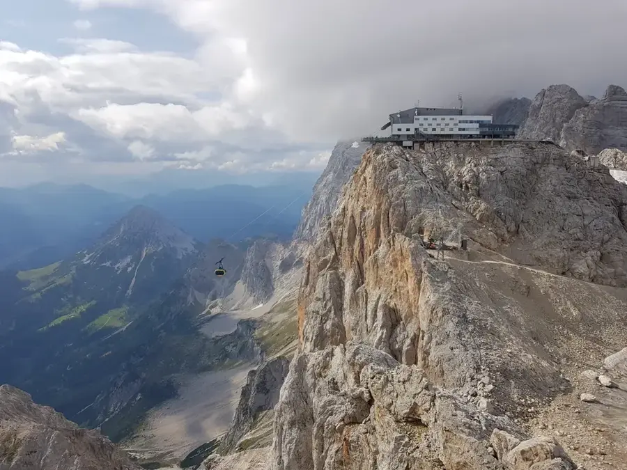
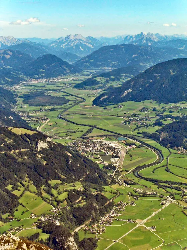
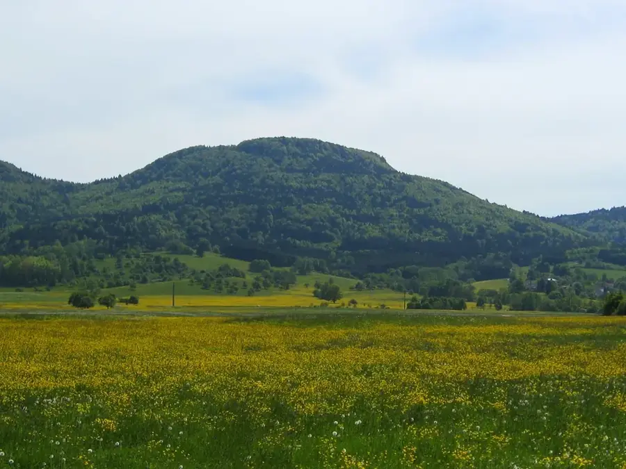
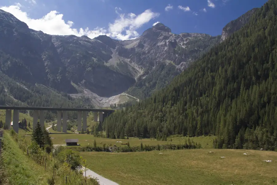
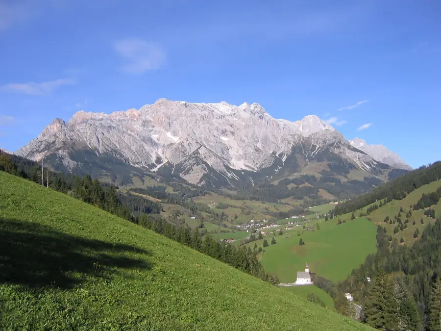
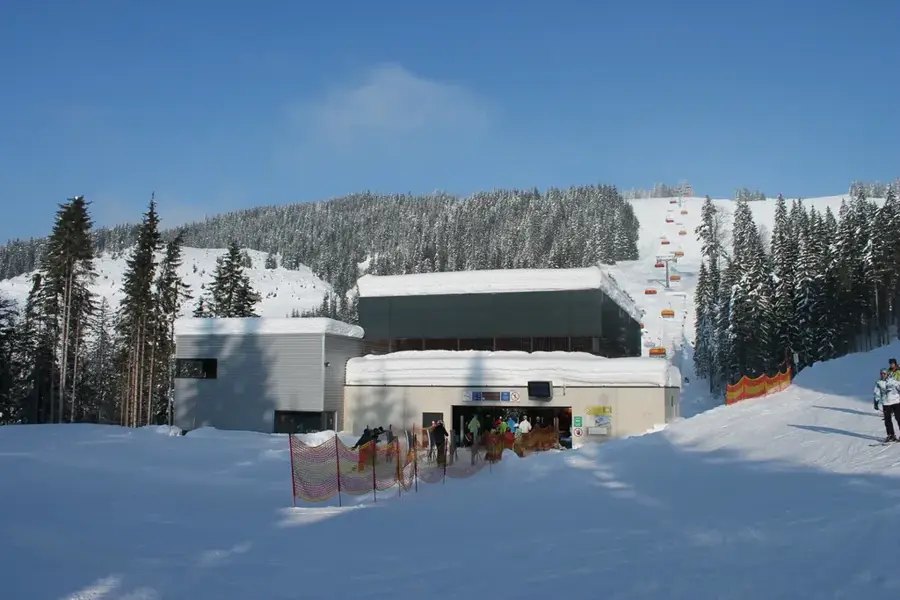
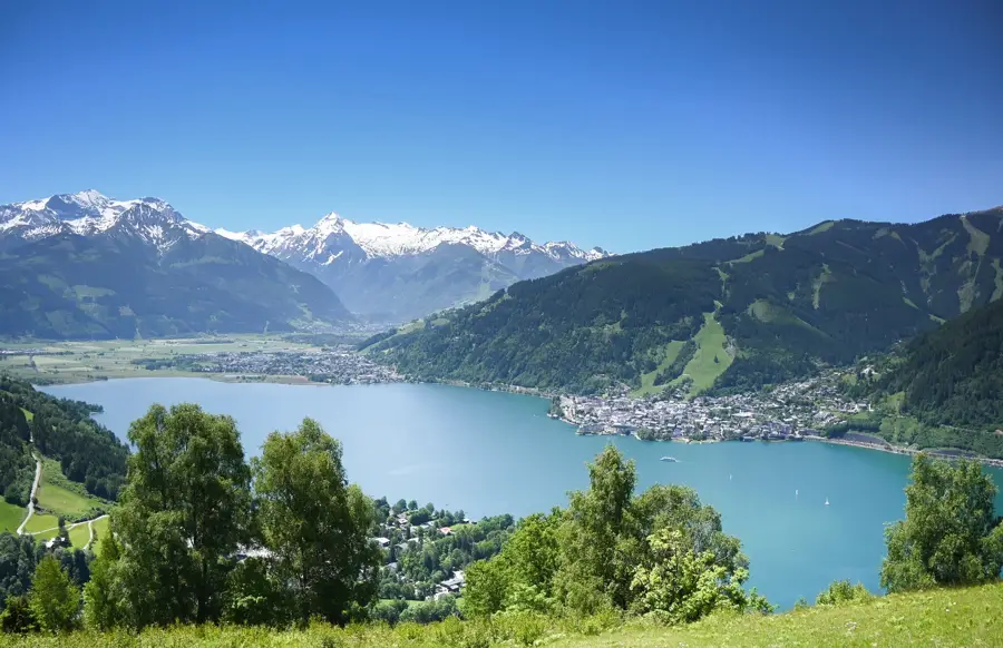
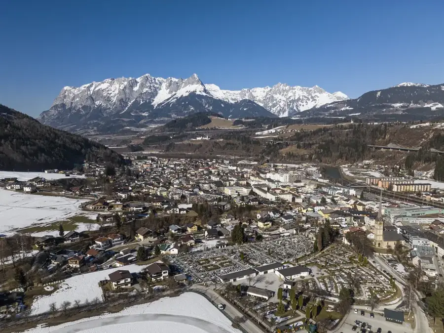
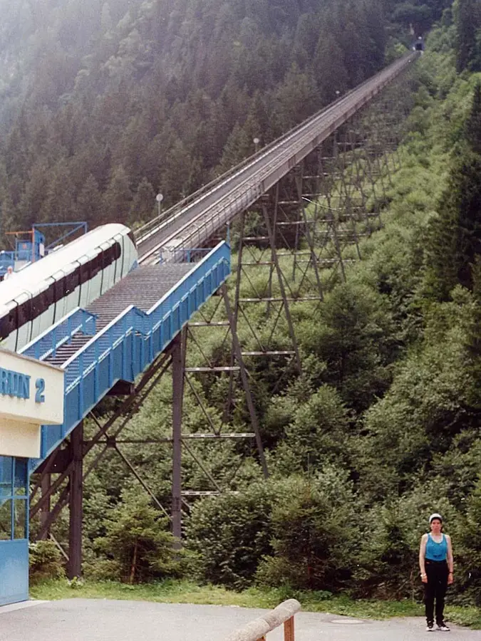
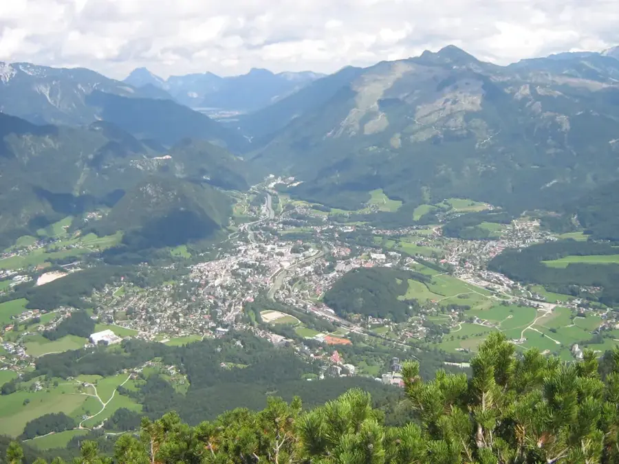
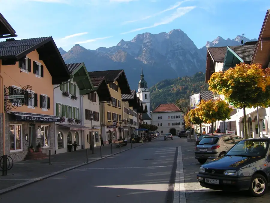
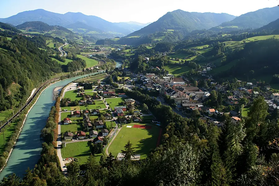
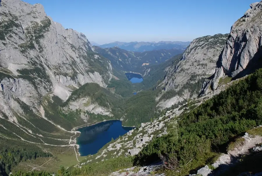
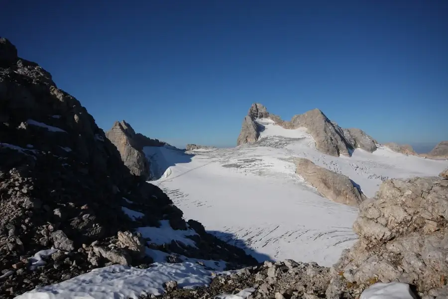
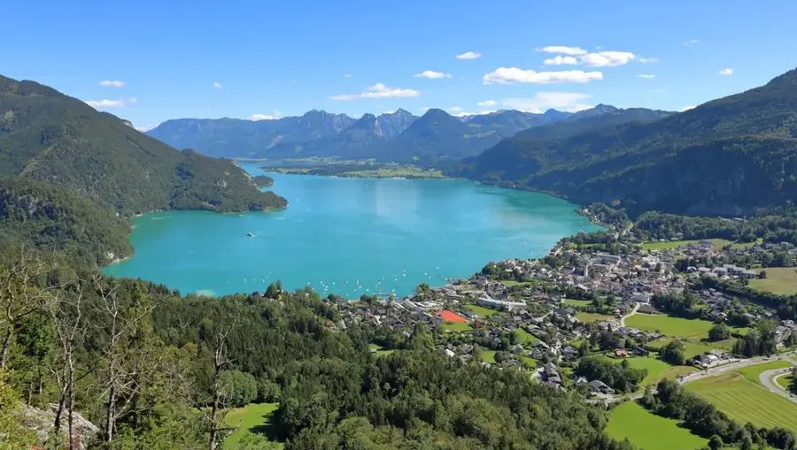
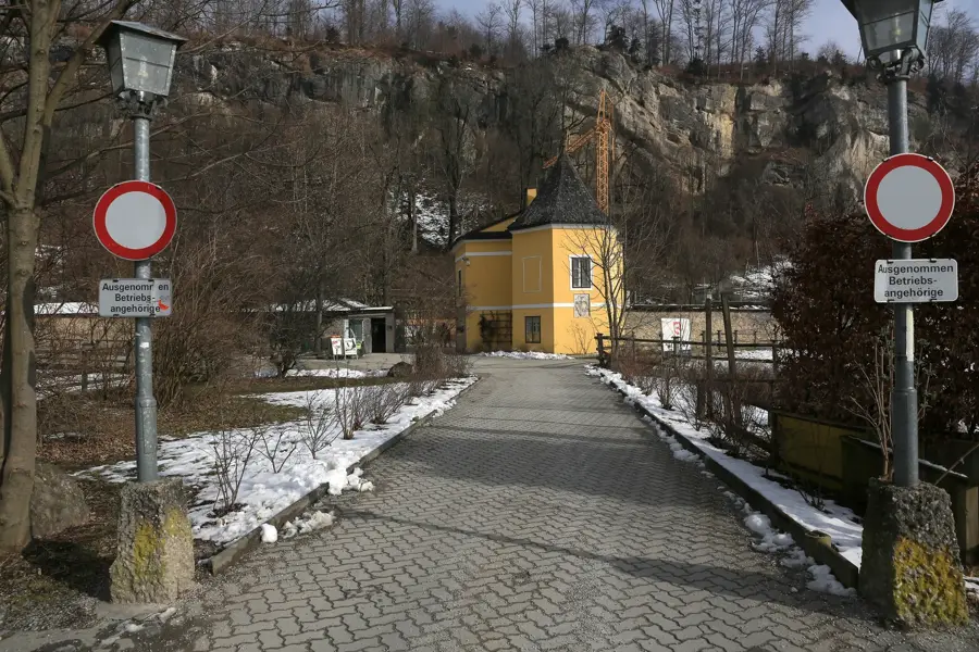
The Dachstein West region is a significant tourism area on the border between Upper Austria and Salzburg, primarily accessed via the villages of Gosau, Russbach, and Annaberg. The landscape is shaped by the gentle foothills of the mighty Dachstein massif, featuring a characteristic karst topography with expansive alpine meadows and dense coniferous forests. Geologically, the bedrock consists mainly of Dachstein limestone, deposited during the Triassic period over 200 million years ago in the shallow Tethys Ocean. The region is part of the Hallstatt-Dachstein/Salzkammergut UNESCO World Heritage site and possesses a centuries-old tradition in alpine farming and salt mining. Today, it serves as a central hub for winter sports with over 160 kilometers of ski slopes and gives an extensive network of hiking trails during the summer. The flora is distinguished by protected alpine species such as gentian and lady's slipper orchids, while local architecture remains defined by traditional wooden houses and historic alpine huts.
- Location: Salzburg, Austria
- Top sights: Ahornwald · Hacklplatten · Däumling
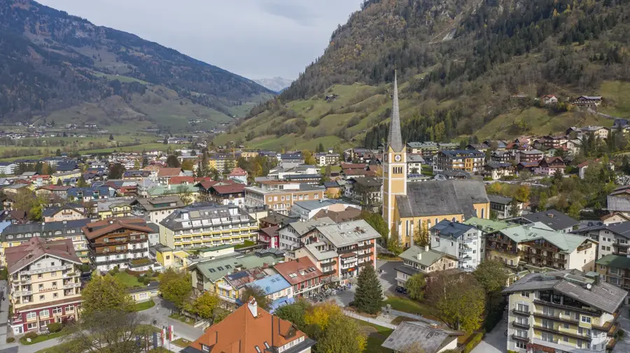
- Nearby: Annaberg-Lungotz (7 km)
Best time to visit & climate
The most pleasant time to visit is Jun–Aug.
| Jan | Feb | Mar | Apr | May | Jun | Jul | Aug | Sep | Oct | Nov | Dec | |
|---|---|---|---|---|---|---|---|---|---|---|---|---|
| Avg °C | -5 | -5 | -1 | 4 | 9 | 13 | 15 | 14 | 10 | 6 | 1 | -4 |
| Rain mm | 82 | 67 | 81 | 75 | 140 | 167 | 177 | 175 | 132 | 96 | 73 | 76 |
📋 Practical info
Geography
Facts
- The area encompasses the three main villages: Gosau, Russbach, and Annaberg.
- Geologically, the 200-million-year-old Dachstein limestone dominates.
- The ski resort offers approximately 160 kilometers of groomed slopes.
- The region has been part of a UNESCO World Heritage site since 1997.
- The Gosaukamm range forms a striking rocky backdrop in the western part.
- Historically, the region was a center for Protestant woodcutters.
Explore nearby
Notable places around
Route planner — Car & Motorhome
Where do you start? We build the route here, with stops and country notes along the way.
© OpenStreetMap contributors · OpenRouteService
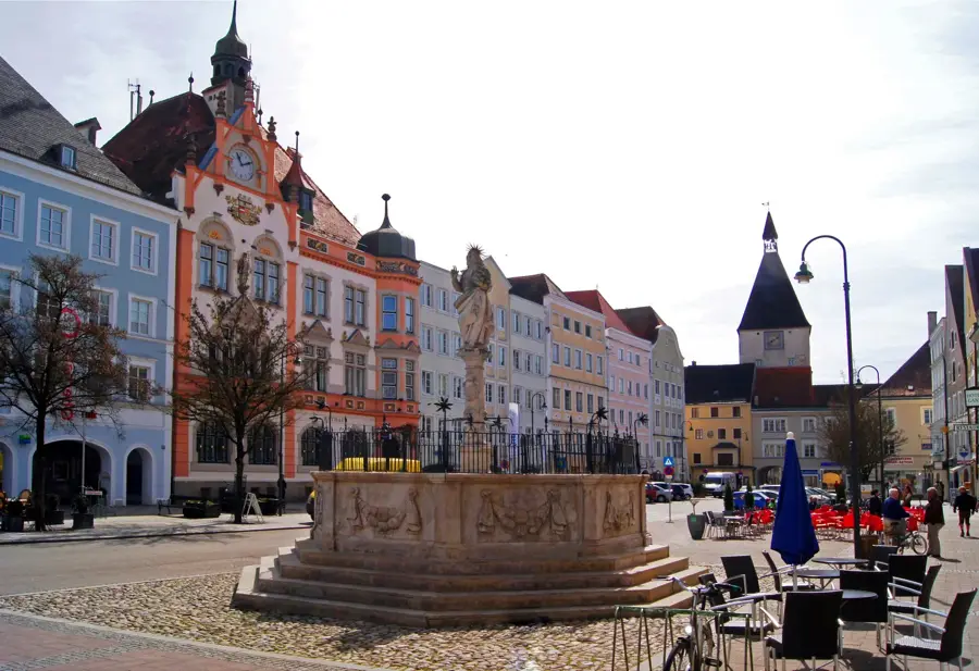
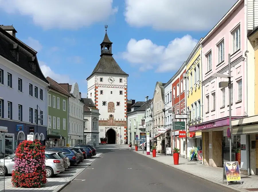
Sights in the town Dachstein West (4)
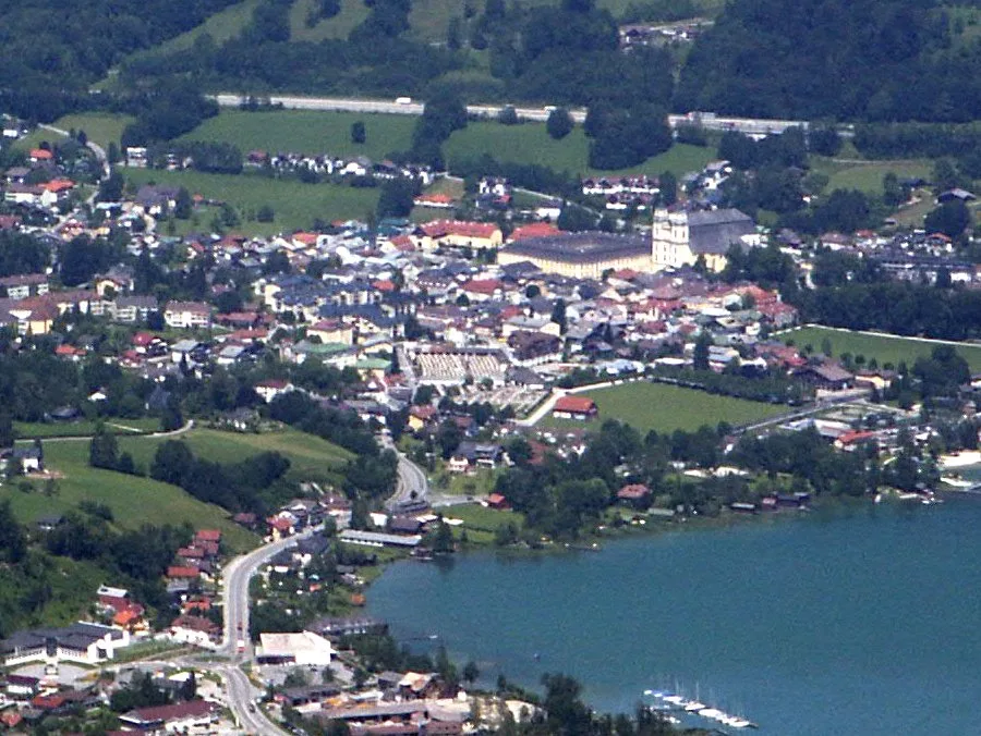
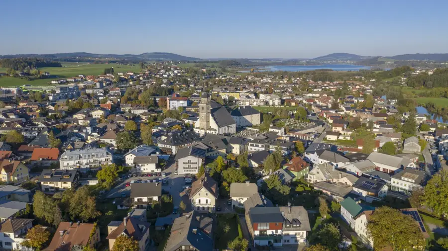
Sights nearby
Frequently asked questions
Is the area family-friendly?
Which villages belong to the ski area?
Can you hike here in summer?
Is there a ski connection between the villages?
What is the Panorama Round?
Dachstein West: where is it located?
Dachstein West: what is there to see?
Dachstein West: when is the best time to visit?
Dachstein West: why is it worth visiting?

Nearby cities
History & landmarks
Nature
More places