Plizio Visual Lab
Hoher Göll
Weather…
Water temperature…
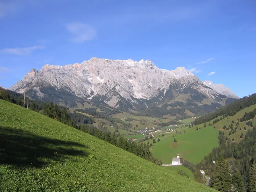
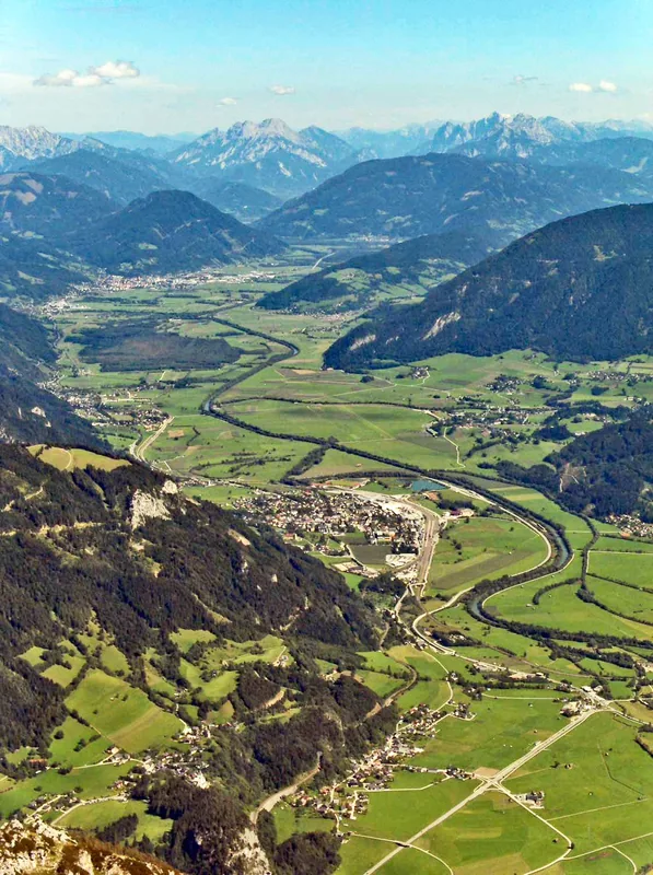
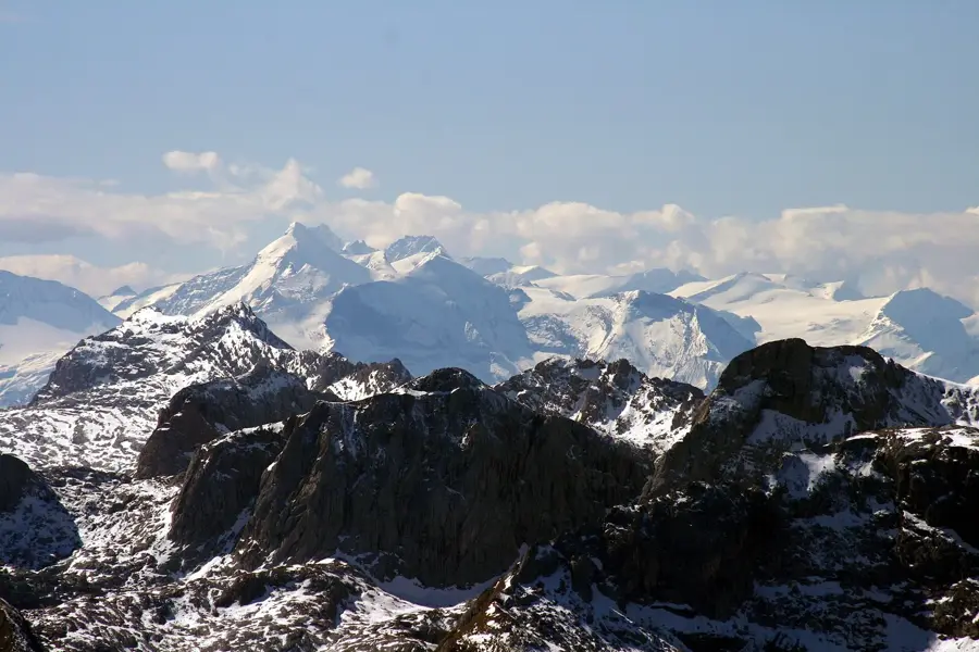
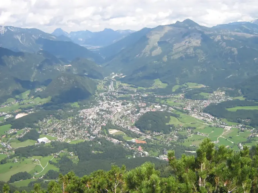
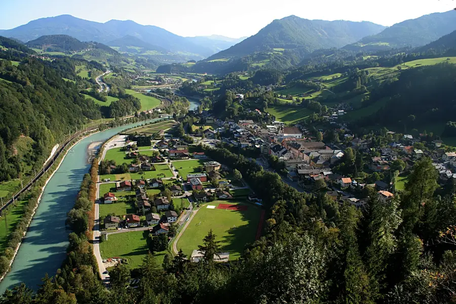
Hoher Göll is the highest peak of the Göll massif in the Berchtesgaden Alps, rising to 2,522 meters on the border between the Austrian state of Salzburg and Bavaria. The mountain's geology is characterized by massive Dachstein limestone, which forms steep precipices overlooking the Salzach Valley and Lake Königssee. The first documented tourist ascent was achieved by Valentin Stanič in 1800, though local hunters likely reached the summit earlier. The peak provides expansive views of the Watzmann massif and the Steinerne Meer karst plateau. A notable feature on a lower ridge of the massif is the Kehlsteinhaus (Eagle's Nest), a site of significant historical weight from the National Socialist era. For mountaineers, the crossing of the Göll ridge, often combined with the Hoher Brett, is considered a classic and demanding high-alpine tour. The local flora features specialized alpine species such as edelweiss and gentian, which thrive in the rocky crevices.
- Location: Salzburg, Austria
- Top sights: Hohes Brett · Großer Archenkopf · Hoher Göll
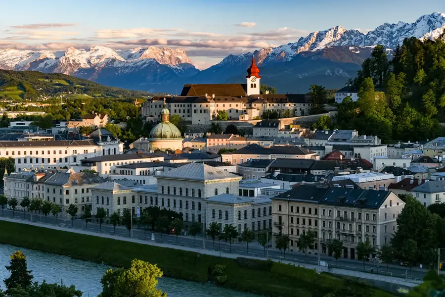
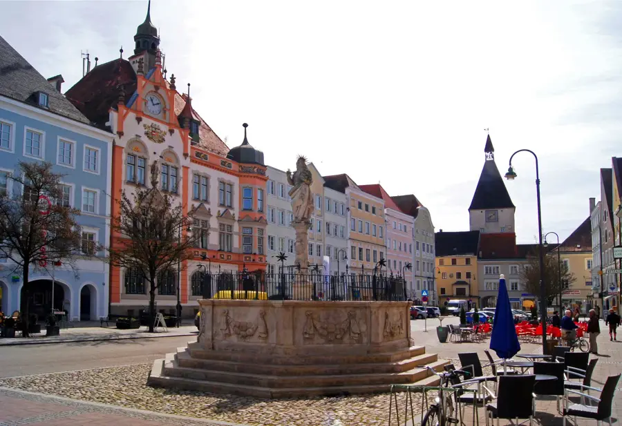
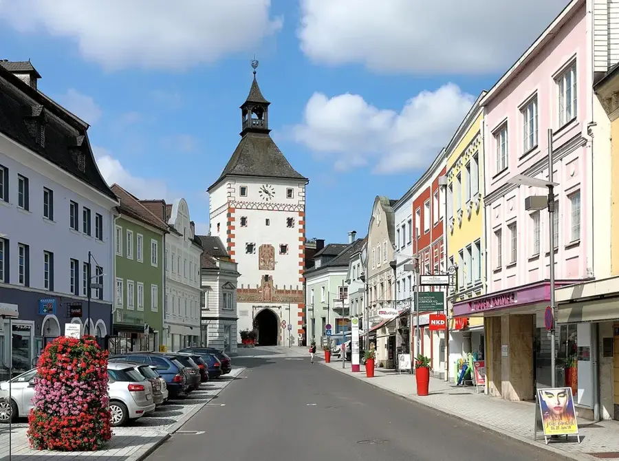
- Nearby: Kuchl (8 km)
Best time to visit & climate
The most pleasant time to visit is Jun–Aug.
| Jan | Feb | Mar | Apr | May | Jun | Jul | Aug | Sep | Oct | Nov | Dec | |
|---|---|---|---|---|---|---|---|---|---|---|---|---|
| Avg °C | -5 | -4 | 0 | 5 | 10 | 14 | 15 | 15 | 11 | 7 | 1 | -3 |
| Rain mm | 91 | 72 | 89 | 85 | 151 | 176 | 184 | 184 | 135 | 102 | 76 | 82 |
📋 Practical info
Geography
Facts
- The summit reaches 2,522 m, making it the highest in the Göll massif.
- Valentin Stanič recorded the first documented ascent in 1800.
- The mountain marks the international border between Austria and Germany.
- The Kehlsteinhaus is situated at 1,834 m on a subsidiary ridge.
- The geological composition is predominantly Dachstein limestone.
- On clear days, both the Dachstein and Großglockner are visible from the peak.
Explore nearby
Notable places around
Route planner — Car & Motorhome
Where do you start? We build the route here, with stops and country notes along the way.
© OpenStreetMap contributors · OpenRouteService
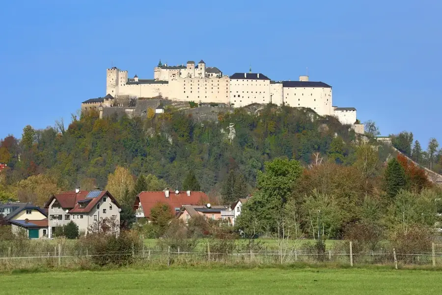
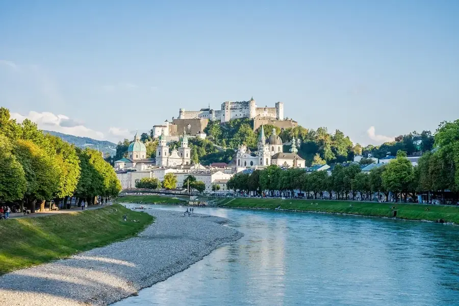
Sights in the town Hoher Göll (4)
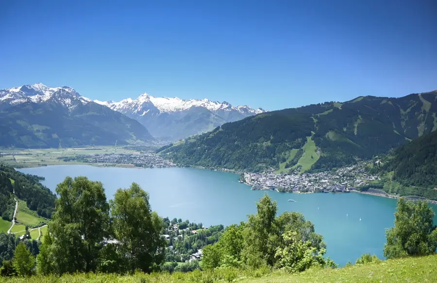
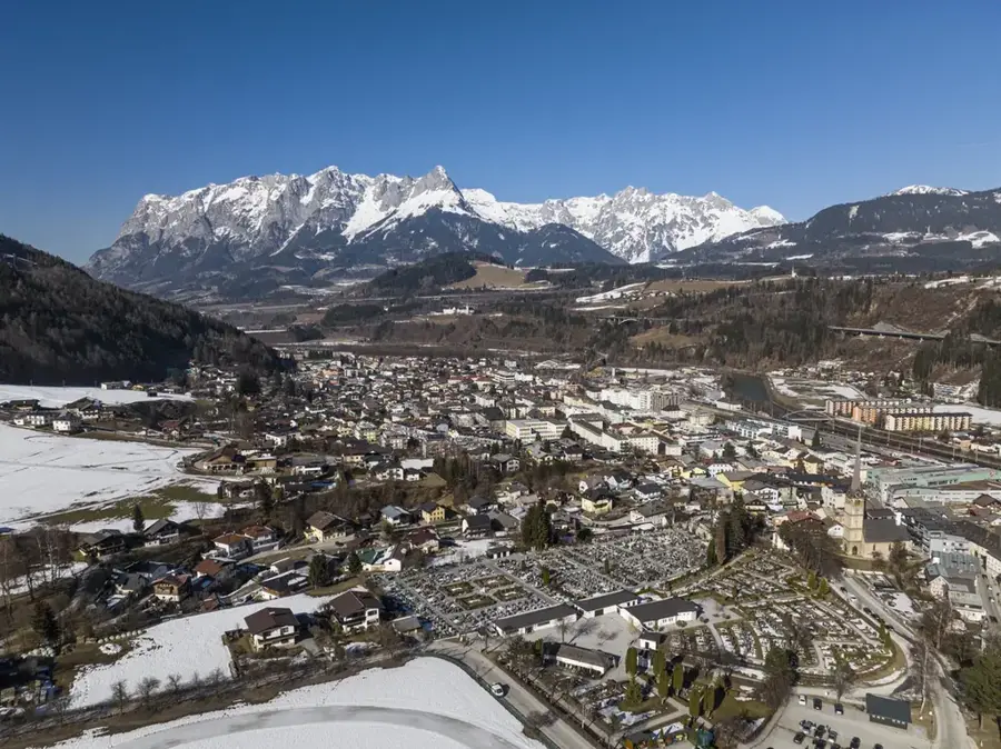
Hoher Göll
Mountain in the Berchtesgaden Alps on the Salzburg/Bavaria border, a prominent peak.
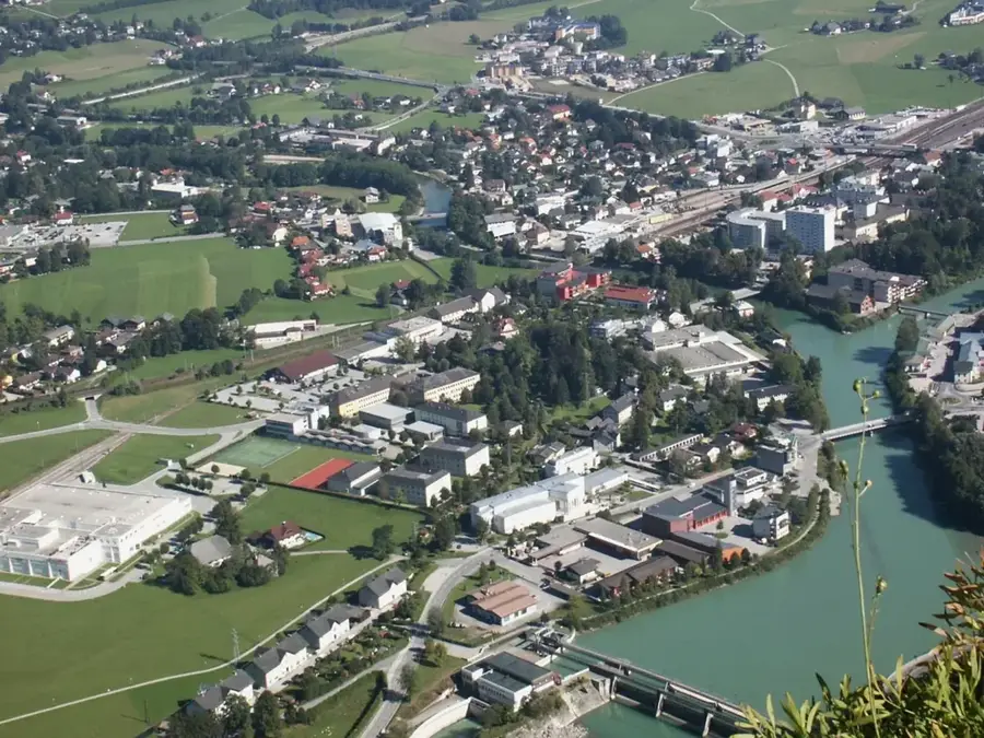
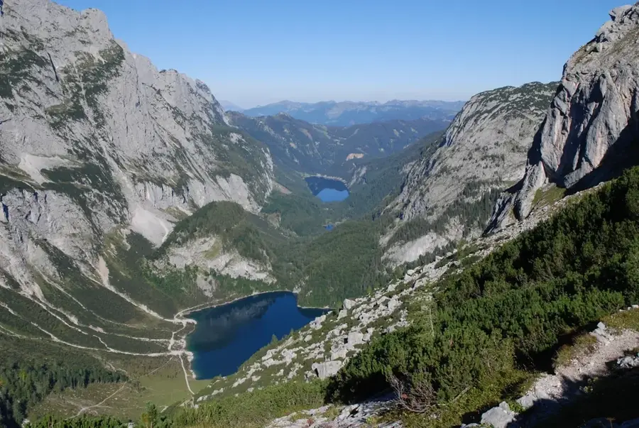
Aussicht am Vogelstein
Viewpoint at Vogelstein, offering panoramic views of the surrounding mountains.
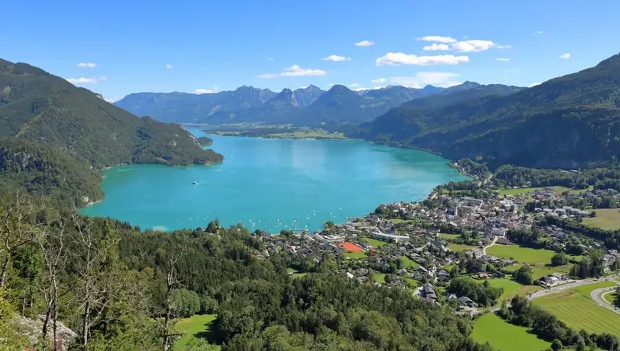
Sights nearby
Frequently asked questions
In which mountain range is the Hoher Göll located?
Are there historical sites there?
How demanding is the 'Schusterroute'?
What can you see from the summit?
How high is the Hoher Göll?
Hoher Göll: where is it located?
Hoher Göll: what is there to see?
Hoher Göll: when is the best time to visit?
Hoher Göll: why is it worth visiting?

Nearby cities
History & landmarks
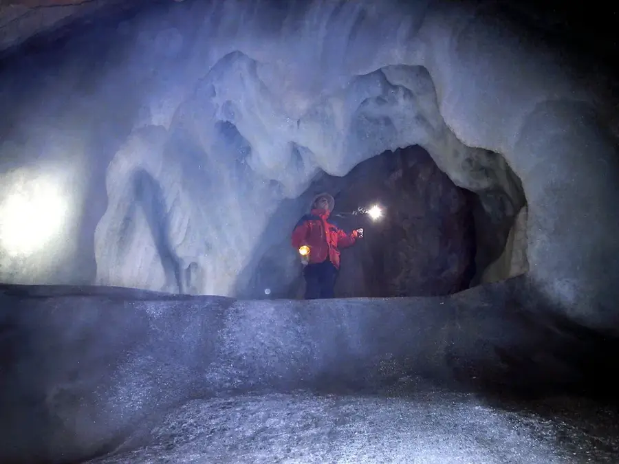
Nature
More places