Plizio Visual Lab
Hoher Dachstein
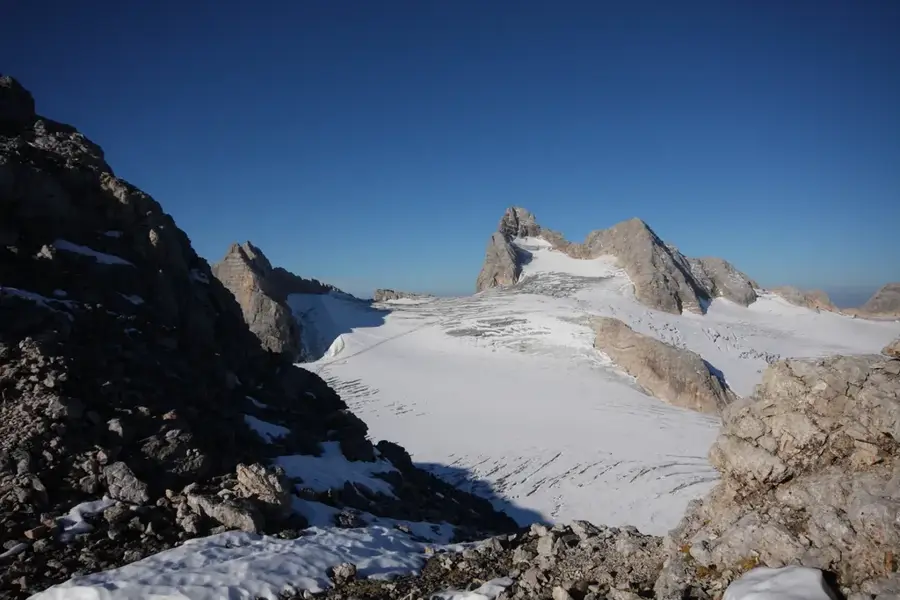
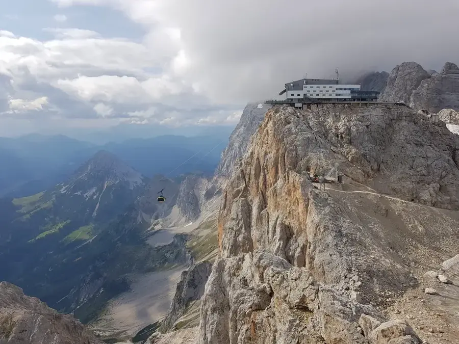
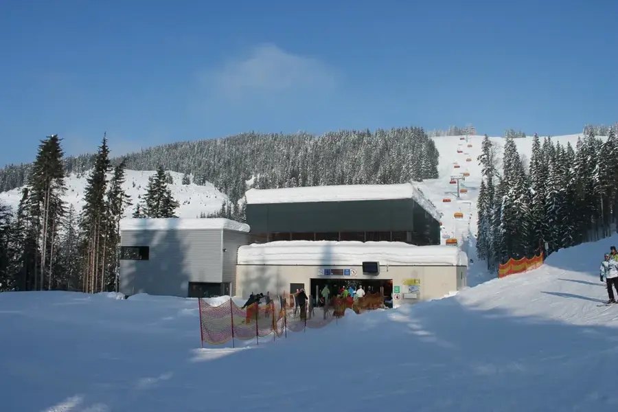
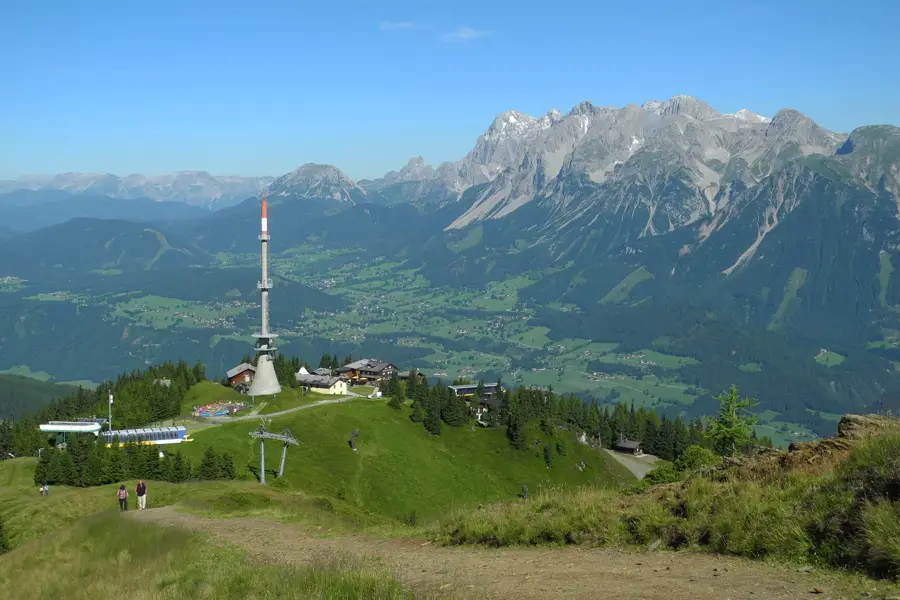
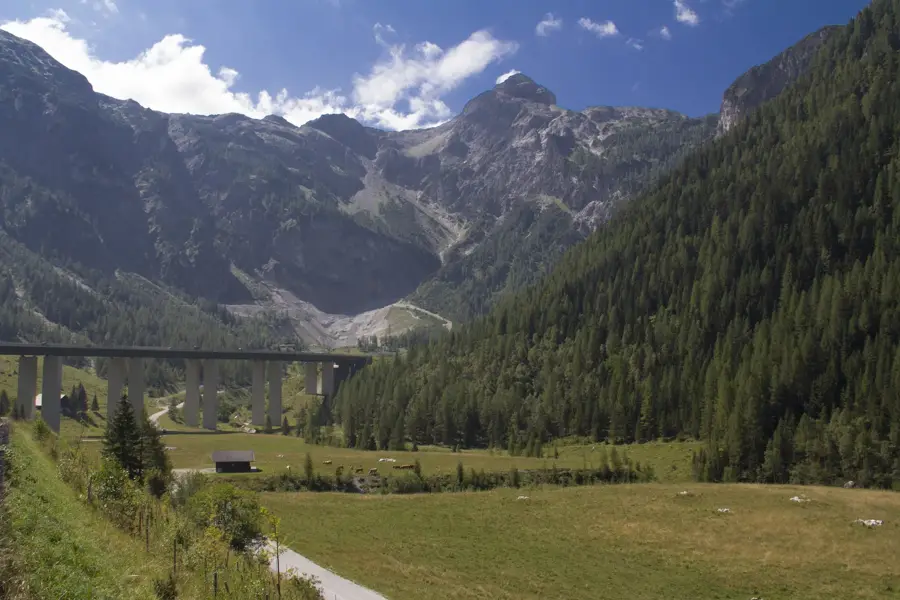
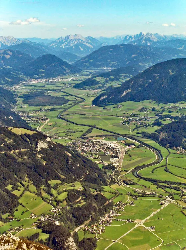
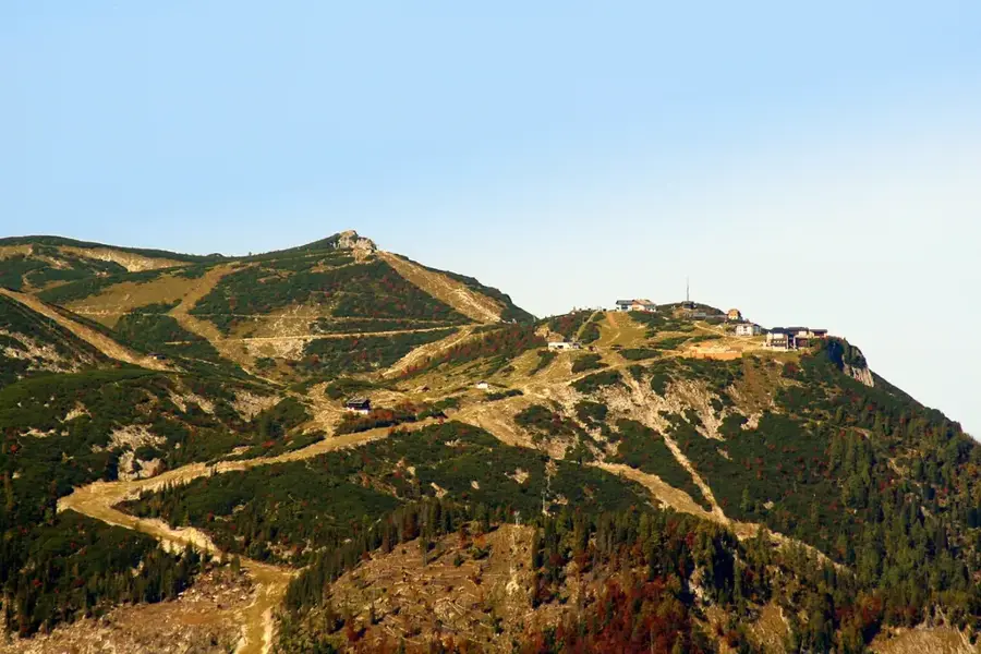
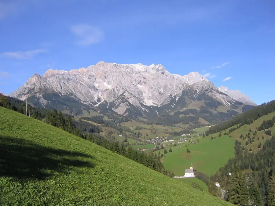
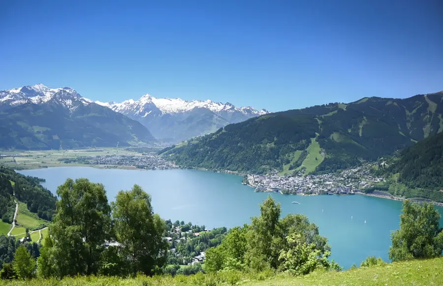
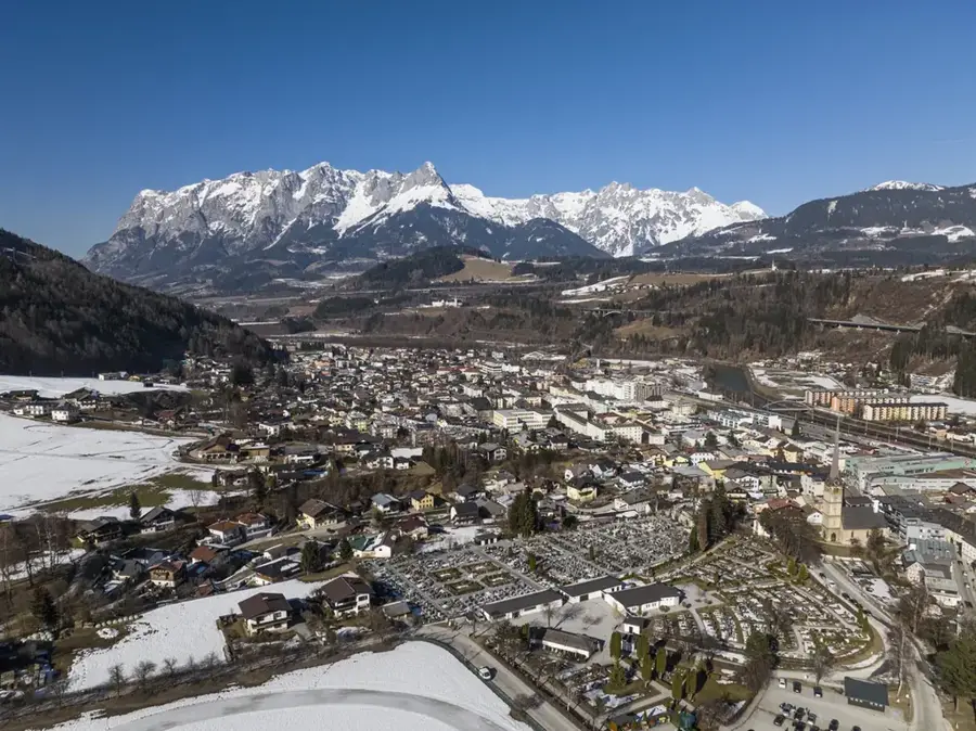
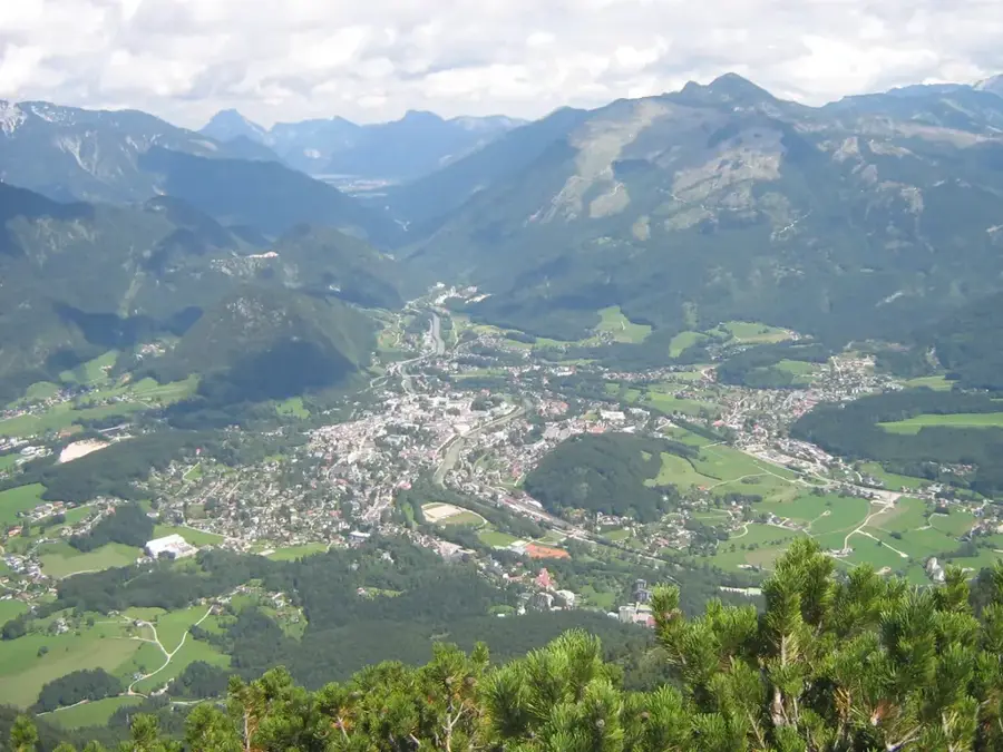
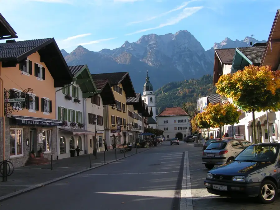
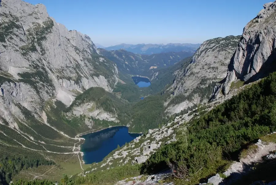
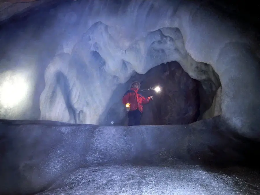
At 2,995 meters, the Hoher Dachstein is the highest peak in the Dachstein Mountains and the highest point of the Austrian states of Upper Austria and Styria. The massif is impressive for its distinctive double peak and extensive glacier areas, including the Hallstätter Glacier and the Schladminger Glacier. Geologically, the mountain is composed of Dachstein limestone, a light-colored Triassic rock responsible for the characteristic pale hue of its cliffs. The Hallstatt-Dachstein/Salzkammergut region was designated a UNESCO World Heritage site in 1997 due to its unique cultural and natural significance. Historically, the Dachstein was a stage for early mountaineering feats, with the first ascent by Peter Gappmayr in 1832 marking a significant milestone. Today, the Dachstein is a major tourist hub featuring attractions like the Skywalk and the suspension bridge, while remaining a key destination for alpinists with its challenging via ferratas and high-altitude tours.
- Location: Salzburg, Austria
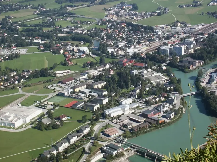
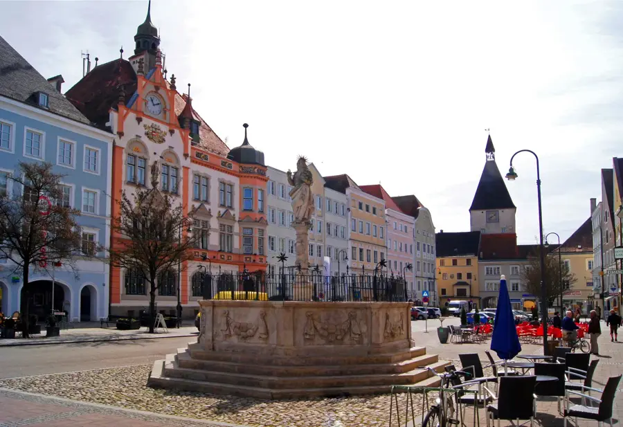
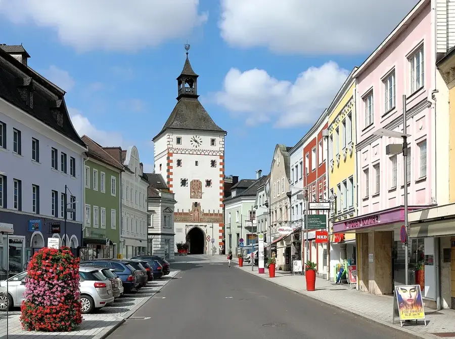
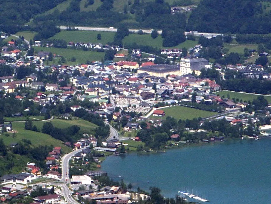
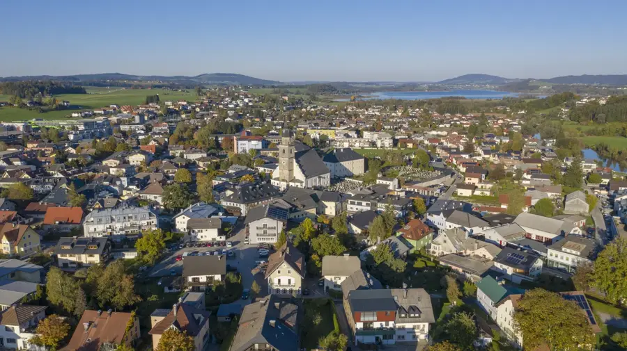
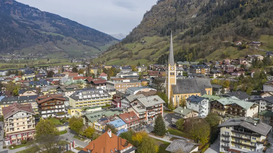
- Nearby: Ramsau am Dachstein (7 km)
Best time to visit & climate
The most pleasant time to visit is Jun–Aug.
| Jan | Feb | Mar | Apr | May | Jun | Jul | Aug | Sep | Oct | Nov | Dec | |
|---|---|---|---|---|---|---|---|---|---|---|---|---|
| Avg °C | -5 | -5 | -1 | 4 | 9 | 13 | 15 | 14 | 10 | 6 | 1 | -4 |
| Rain mm | 82 | 67 | 81 | 75 | 140 | 167 | 177 | 175 | 132 | 96 | 73 | 76 |
📋 Practical info
Geography
Facts
- At 2,995 meters, the Dachstein narrowly misses the 3,000-meter mark.
- The region was designated a UNESCO World Heritage site in 1997.
- The Hallstätter Glacier is the largest glacier in the Northern Limestone Alps.
- The first recorded ascent of the summit took place in the year 1832.
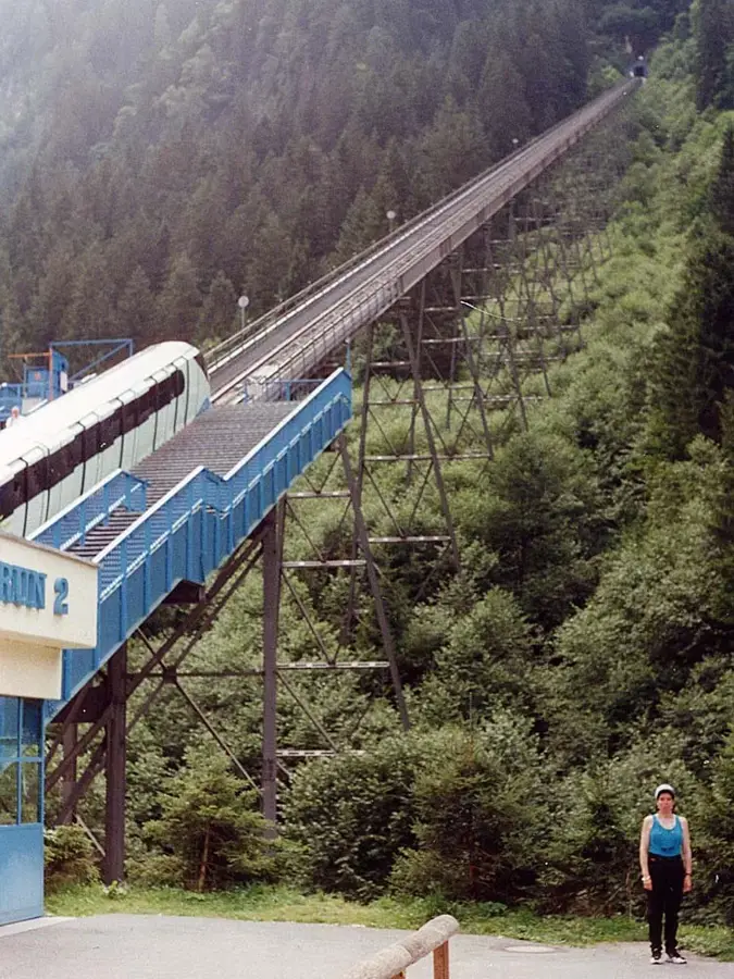
- The Dachstein South Face cable car ascends 1,000 meters without pillars.
- The highest suspension bridge in Austria is located on the Dachstein.
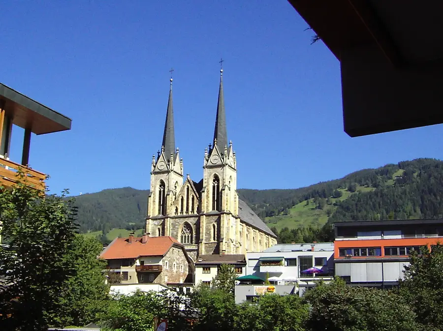
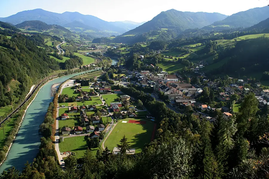
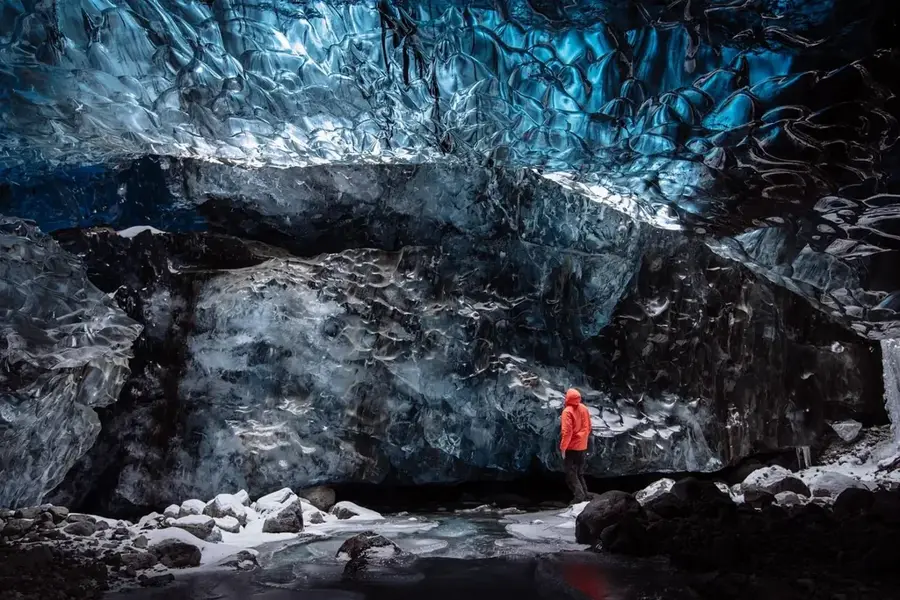
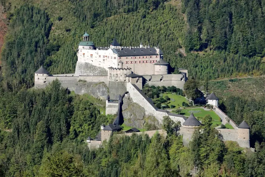
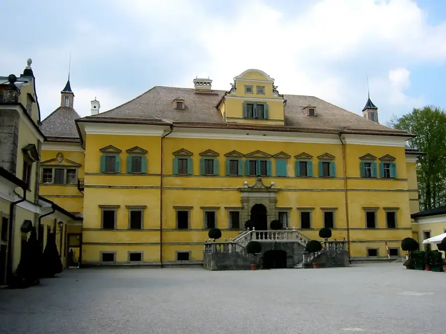
Explore nearby
Notable places around
Route planner — Car & Motorhome
Where do you start? We build the route here, with stops and country notes along the way.
© OpenStreetMap contributors · OpenRouteService
Sights nearby
Frequently asked questions
How high is the Hoher Dachstein?
What attractions are there on the mountain?
Can you go up by cable car?
Is there snow there year-round?
When was the first ascent?
Hoher Dachstein: where is it located?
Hoher Dachstein: when is the best time to visit?
Hoher Dachstein: why is it worth visiting?

Nearby cities
History & landmarks
Nature
More places