Plizio Visual Lab
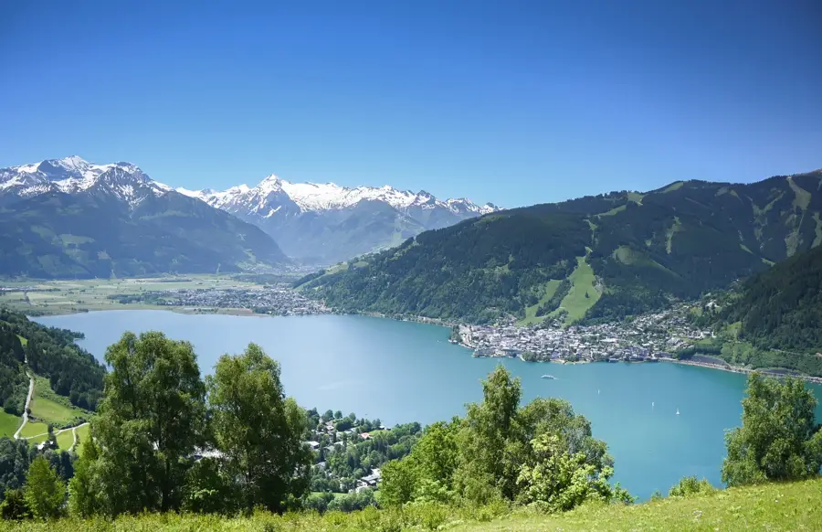
Hochkönig Mountain
Weather…
Water temperature…
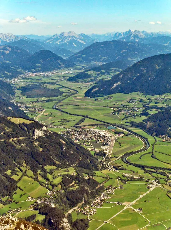
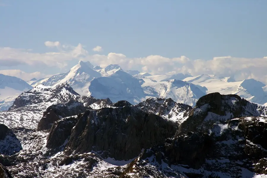
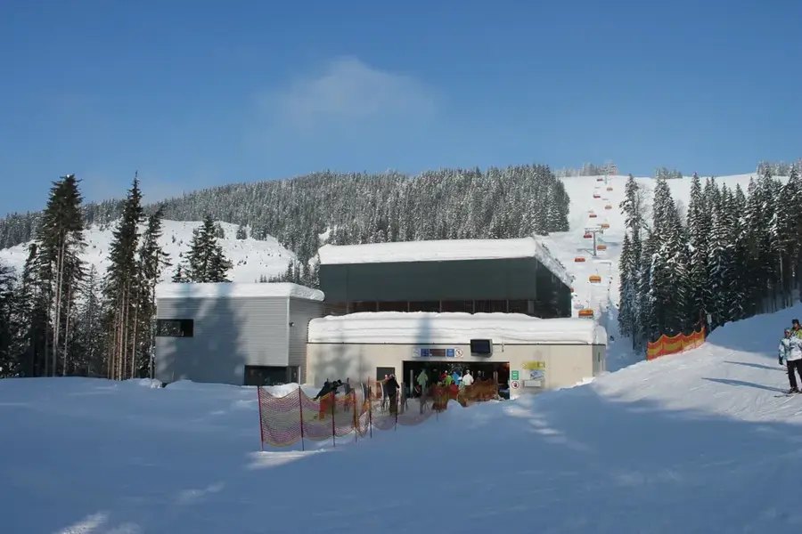
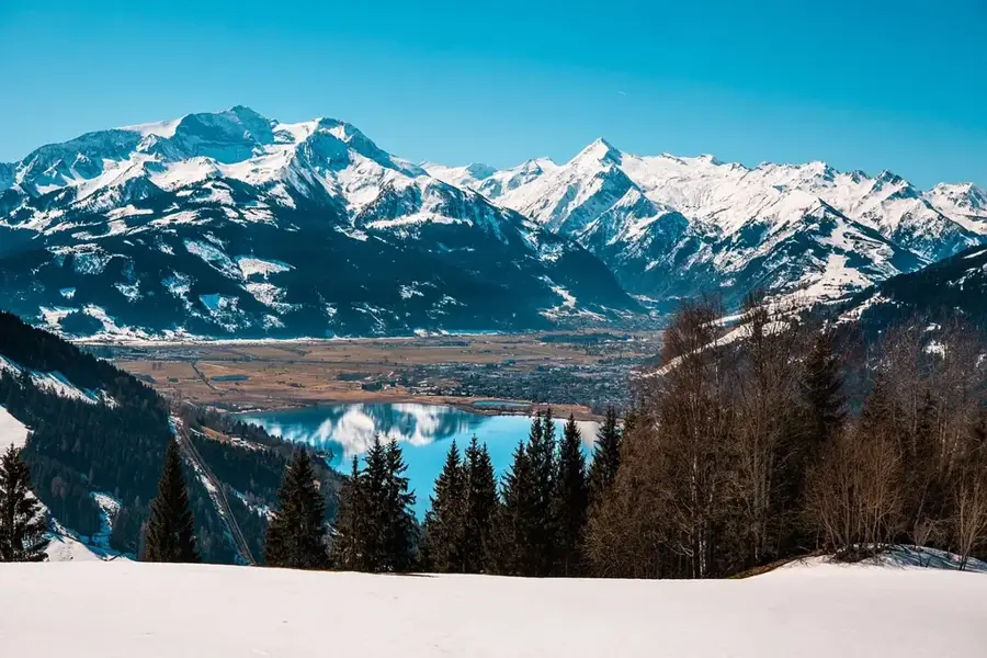
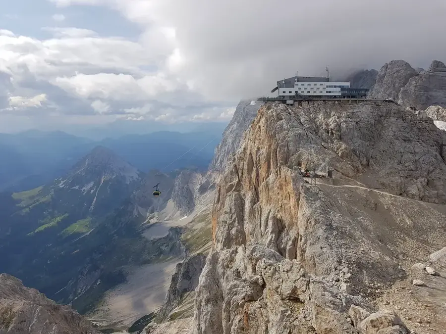
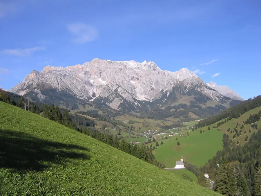
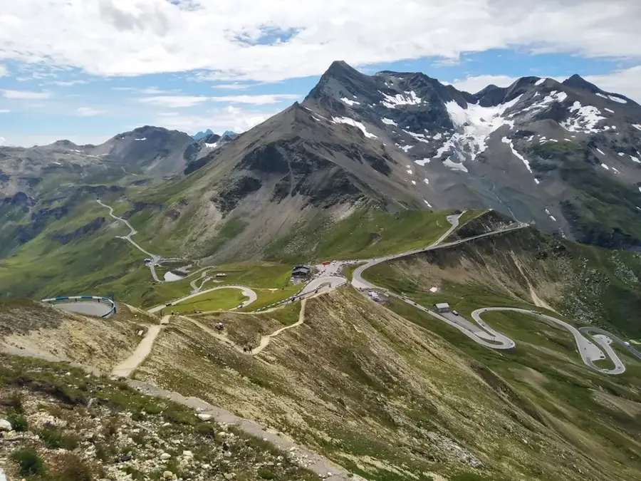
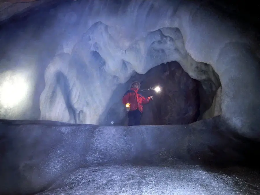
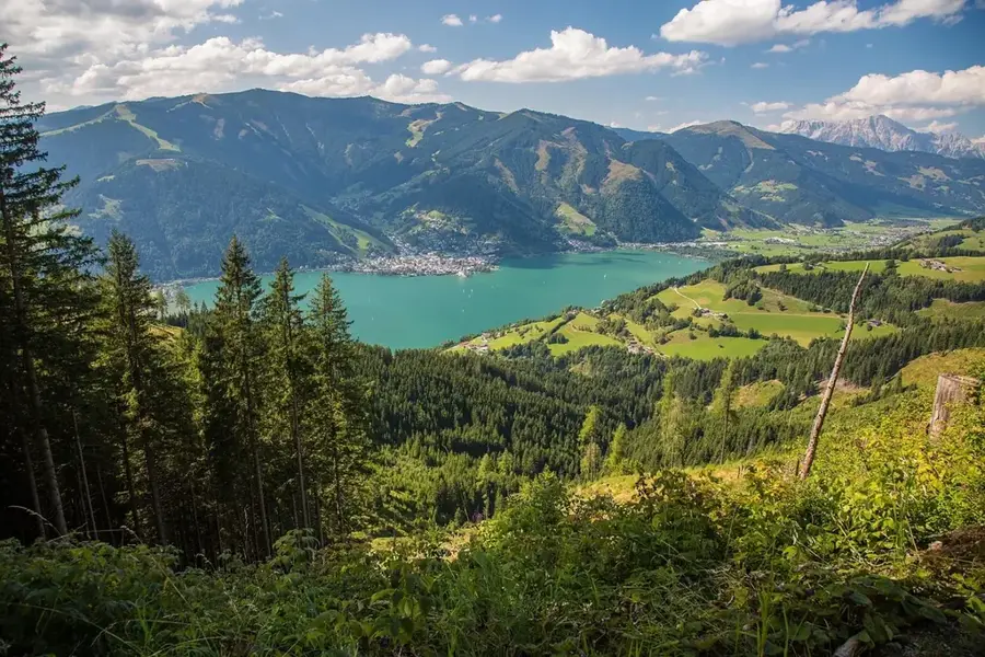
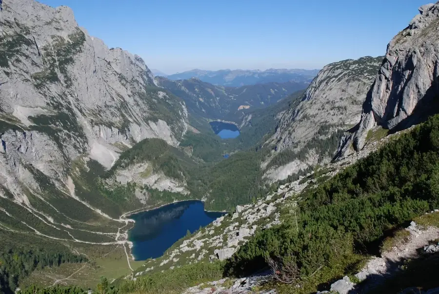
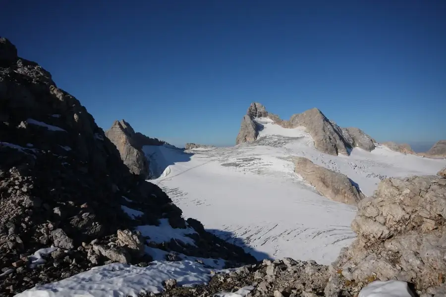
The Hochkönig is the highest massif of the Berchtesgaden Alps in the province of Salzburg, reaching an elevation of 2,941 meters. This massive limestone mountain range is characterized by its expansive high plateaus and sheer rock faces. A unique feature is the 'Übergossene Alm', a plateau glacier that, although receding, still covers the highest regions of the massif. The history of its mountaineering exploration began in the early 19th century, with the first successful ascent recorded in 1826. At the summit stands the Matrashaus, an alpine hut providing spectacular 360-degree views of the surrounding Alpine peaks. Geologically, the Hochkönig belongs to the Northern Limestone Alps and consists primarily of Dachstein limestone. The area has a rich mining history, particularly copper mining in Mühlbach am Hochkönig. Today, the massif is a paradise for mountaineers, climbers, and skiers, famous for the 'Königstour', one of the most impressive ski circuits in the Alps.
- Location: Salzburg, Austria
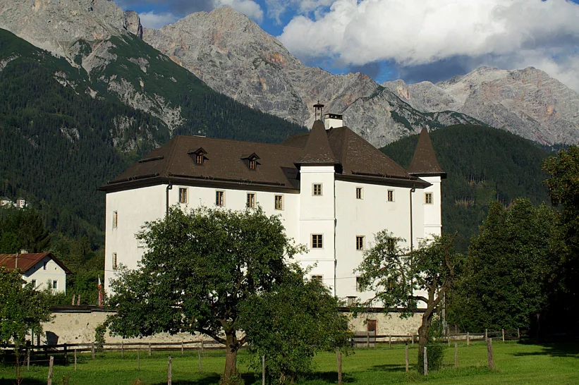
- Top sights: Kleiner Bratschenkopf · Großer Bratschenkopf · Südwestlicher Schoberkopf
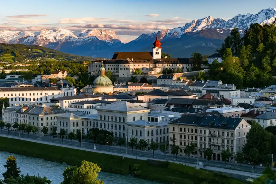
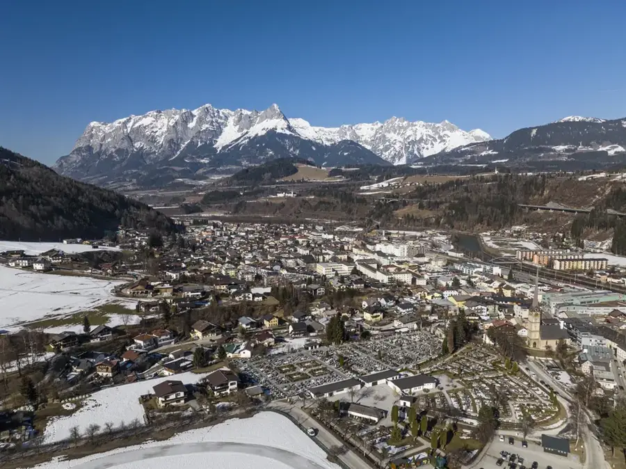
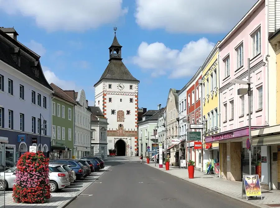
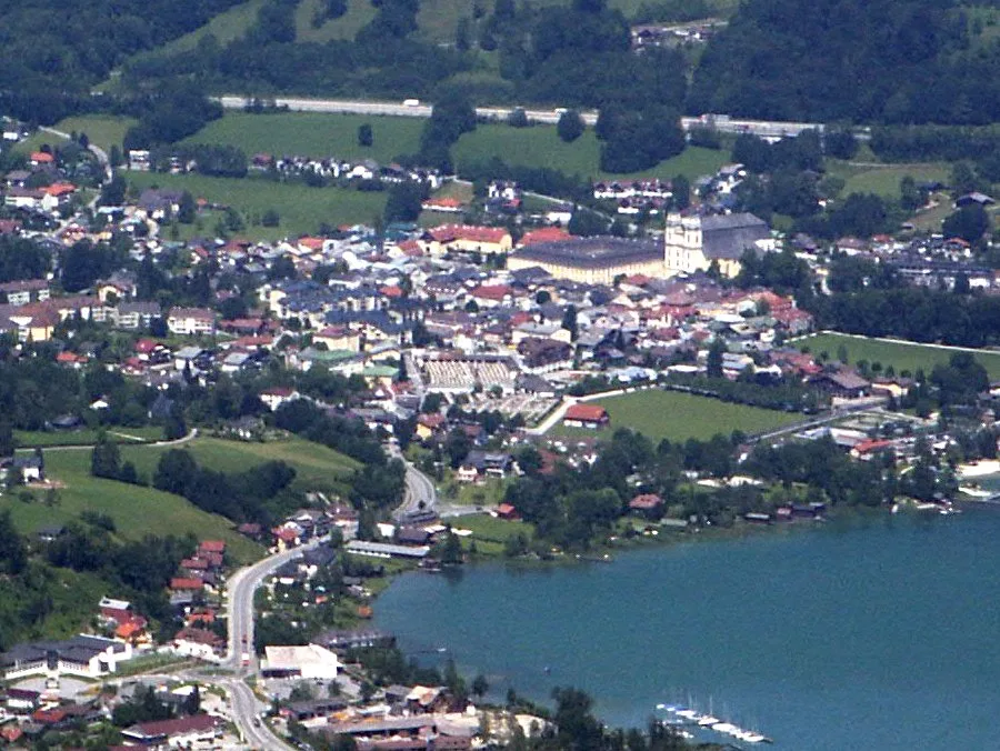
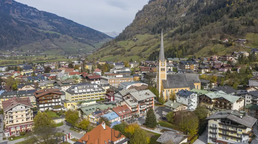
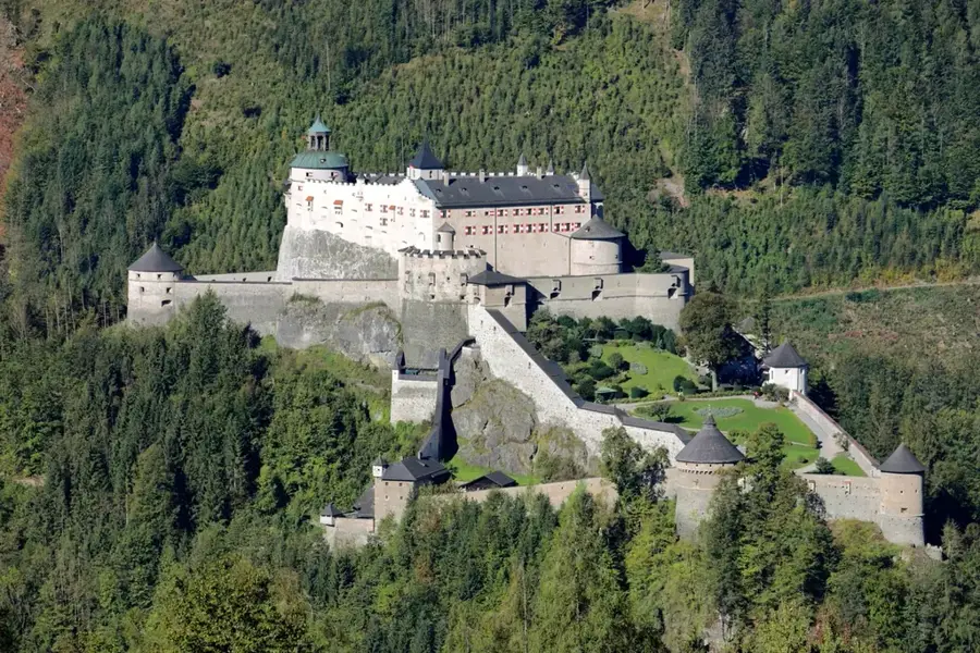
- Nearby: Dienten am Hochkönig (6 km)
Best time to visit & climate
The most pleasant time to visit is Jun–Aug.
| Jan | Feb | Mar | Apr | May | Jun | Jul | Aug | Sep | Oct | Nov | Dec | |
|---|---|---|---|---|---|---|---|---|---|---|---|---|
| Avg °C | -5 | -4 | 0 | 5 | 10 | 14 | 15 | 15 | 11 | 7 | 1 | -3 |
| Rain mm | 91 | 72 | 89 | 85 | 151 | 176 | 184 | 184 | 135 | 102 | 76 | 82 |
📋 Practical info
Geography
Facts
- The summit height of the Hochkönig is 2,941 meters.
- The first successful ascent was made by Peter Carl Thurwieser in 1826.
- The 'Übergossene Alm' is the only plateau glacier in the Northern Limestone Alps.
- The Matrashaus on the summit is one of the highest alpine huts in the Eastern Alps.
- Copper was mined in the Mühlbach area for over 4,000 years.
- The 'Königstour' ski circuit covers 6 peaks and 35 kilometers of slopes.
Explore nearby
Notable places around
Route planner — Car & Motorhome
Where do you start? We build the route here, with stops and country notes along the way.
© OpenStreetMap contributors · OpenRouteService
Sights in the town Hochkönig Mountain (3)
Südwestlicher Schoberkopf
Mountain in the Berchtesgaden Alps in Salzburg, alpine in character.
Sights nearby
Frequently asked questions
How high is the Hochkönig?
Which hut stands directly on the summit?
What are the Mandlwände?
How long does the ascent take?
Is the trail suitable for beginners?
Hochkönig Mountain: where is it located?
Hochkönig Mountain: what is there to see?
Hochkönig Mountain: when is the best time to visit?
Hochkönig Mountain: why is it worth visiting?

Nearby cities
History & landmarks
Nature
More places