Plizio Visual Lab
Zapala

ℹ️Practical info — Zapala
▾
🌤 Weather — 5 days
📍 Nearby
Sights nearby
💡 Tips
- Zapala is a crucial transport hub for Patagonian travel. Be sure to fuel up your vehicle here before heading into more isolated areas.
- The Patagonian wind can be very strong here. Dress in windproof layers even when the sun is out.
- If heading into the mountains during winter months, always check road conditions beforehand as snow and ice are common.
- The city sits on a plateau, making nights quite chilly even during the summer.
🍽 Food
Try this classic dish at the traditional asador restaurants located along the main highways.
Grab some freshly baked empanadas from local bakeries for a quick road-trip snack.
Look for artisanal alfajores made with Patagonian berry jams in the downtown sweet shops.
🛍 Shopping · 🧘 Quiet spots
Visit the specialty stores in the center if you need to pick up extra warm clothing or gear for the Andes.
You can often find vendors in the main square selling hand-knitted ponchos and wooden jewelry.
The city's main square is a nice spot for a relaxing break under the trees.
Take a short walk to the edge of town to take in the vast, open views of the Patagonian steppe.
Water temperature…
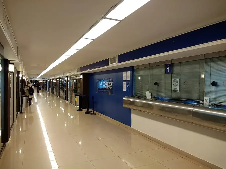
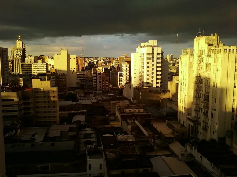
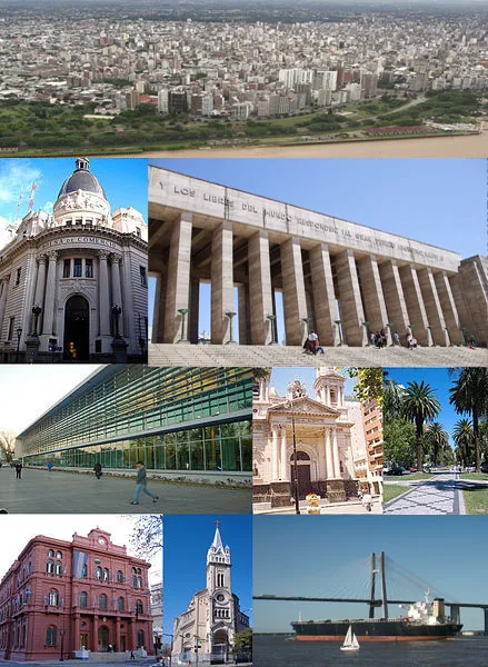
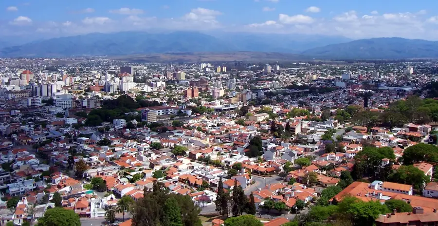
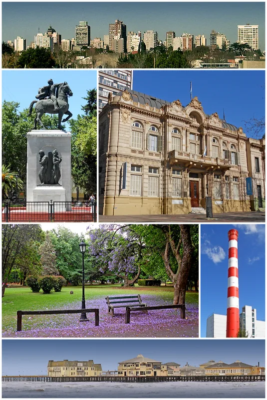
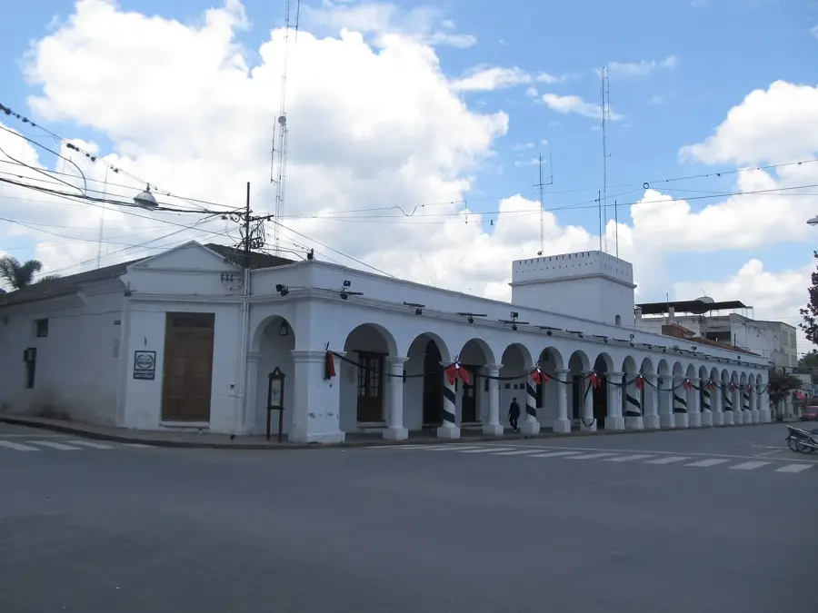
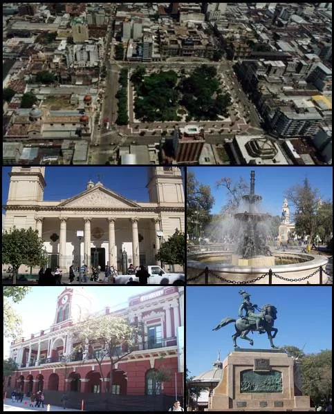
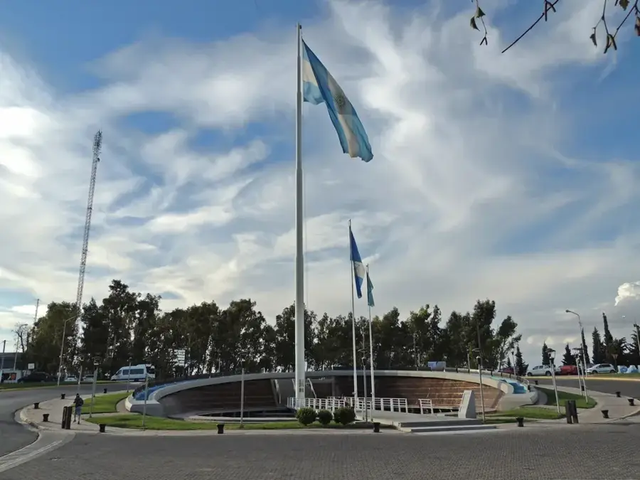
Zapala is a strategically important city in the center of Neuquén province, functioning as a major logistics and transportation hub for Patagonia. The city was officially founded on July 12, 1913, with the arrival of the Ferrocarril del Sud railway line, which accelerated its development as a commercial center. Geographically, Zapala is situated on a high steppe plateau and serves as a junction for major highways such as National Route 40 and National Route 22. The local economy is heavily influenced by mining, particularly the extraction of bentonite, gypsum, and limestone, as well as the cement industry. Zapala is home to the renowned Professor Olsacher Museum of Mineralogy and Geology, which houses one of the most significant collections in the country. Due to its location, the city is a vital supply point for travelers heading toward the Andes or the deep south of Patagonia. The harsh, windy climate is characteristic of the region and has shaped the local architecture and way of life.
- Location: Argentina
- Top sights: Museo Vial de la Provincia del Neuquén · Museo Olsacher Zapala · Cine Teatro Municipal "Amado Sapag"
- Nearby: Chos Malal (62 km)
- Population: ~31.534 (2026)
Best time to visit & climate
The most pleasant time to visit is Jan, Feb, Dec.
| Jan | Feb | Mar | Apr | May | Jun | Jul | Aug | Sep | Oct | Nov | Dec | |
|---|---|---|---|---|---|---|---|---|---|---|---|---|
| Avg °C | 18 | 17 | 14 | 10 | 6 | 3 | 2 | 3 | 6 | 9 | 13 | 16 |
| Rain mm | 25 | 23 | 28 | 49 | 85 | 110 | 95 | 77 | 53 | 57 | 36 | 28 |
Geography
Facts
- Founded on July 12, 1913, as the terminus of the southern railway.
- The Professor Olsacher Museum was inaugurated in 1969.
- A key junction on the legendary National Route 40.
- The primary center for bentonite mining in Argentina.
- Situated at an elevation of 1,012 meters above sea level.
- Home to the Loma Negra cement plant, a major regional employer.
Explore nearby
Notable places around
Route planner — Car & Motorhome
Where do you start? We build the route here, with stops and country notes along the way.
© OpenStreetMap contributors · OpenRouteService
Sights in the town Zapala (8)
Frequently asked questions
How many days do you need for Zapala?
When is the best time to visit?
How do you get there?
Are there local dishes worth trying?
Is Zapala family-friendly?
Zapala: where is it located?
Zapala: what is there to see?
Zapala: when is the best time to visit?
Zapala: why is it worth visiting?

Nearby cities