Plizio Visual Lab
Wadi Surdud

Weather…
Water temperature…
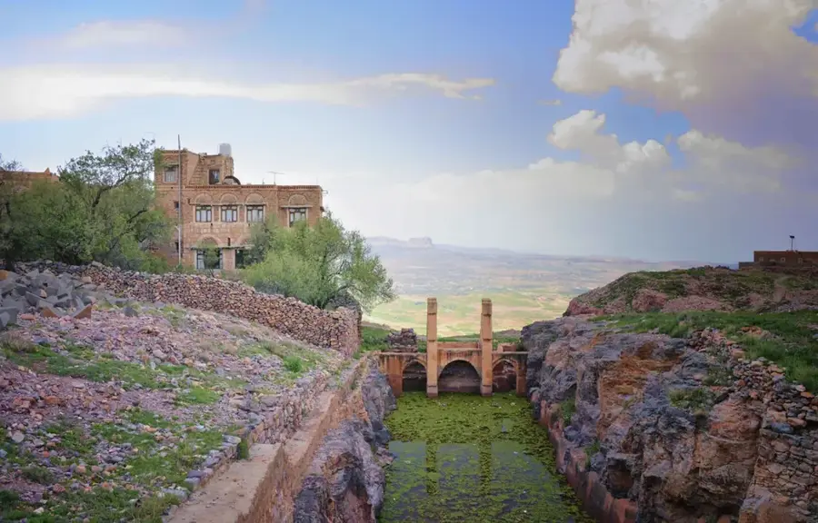
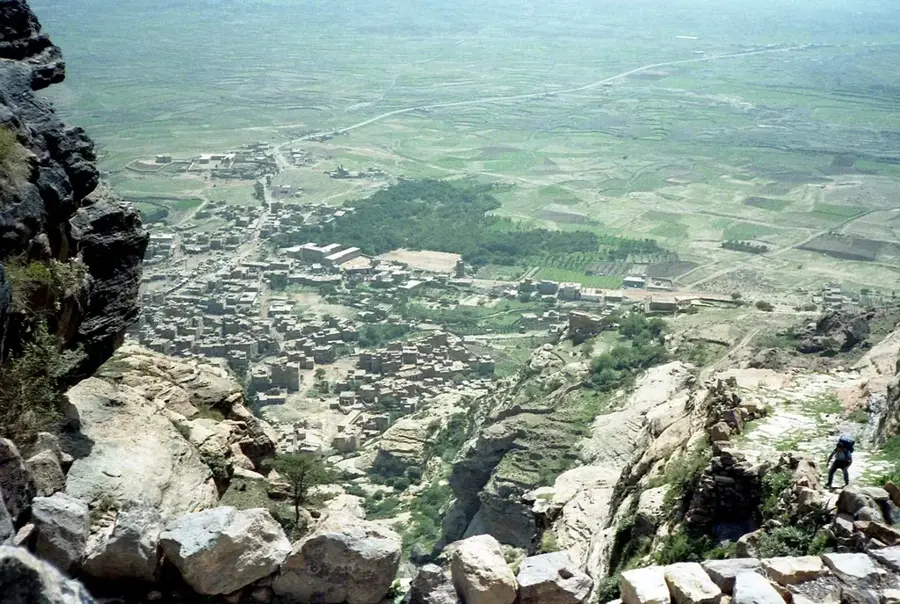
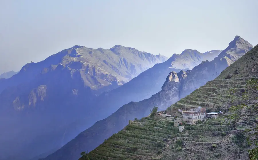
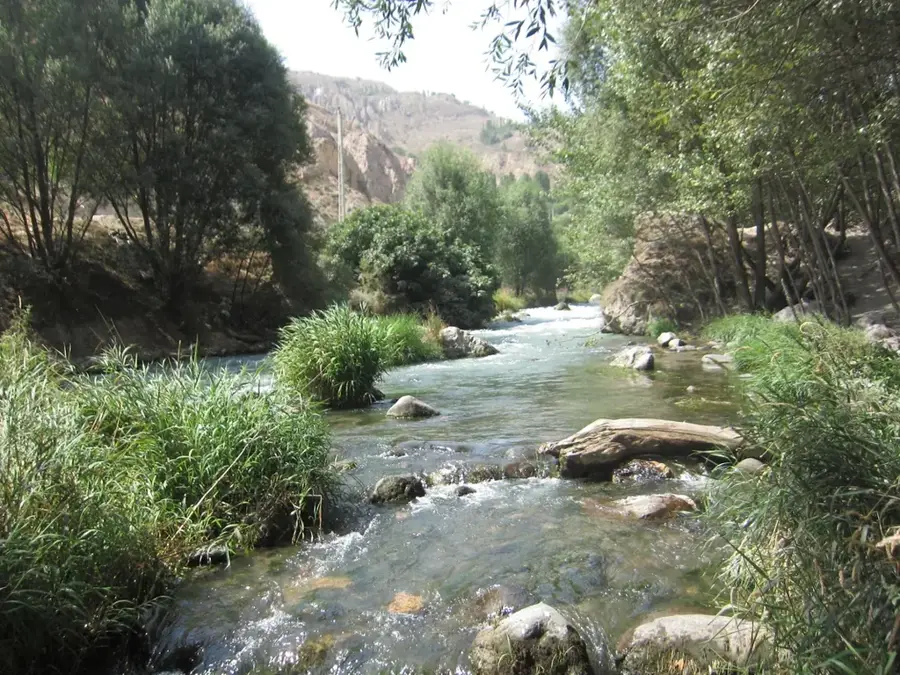
Wadi Surdud is one of the largest and most powerful drainage courses of the Yemeni Tihama lowlands. It collects water from a vast catchment area in the rugged highlands of Al Mahwit and channels it through spectacular canyons to the Red Sea plain. Particularly impressive is the wadi's breakthrough through the western mountain ranges, where the water has carved deep incisions into the rock. This geological activity has created fertile alluvial soils that form the basis for productive agriculture in the region. Dense riparian vegetation can be found along its middle course, providing shelter for many native animal species. During the rainy season, the wadi can transform into a raging torrent, transporting enormous amounts of debris and mud. Historically, Wadi Surdud was an important corridor for caravan routes between the coast and the mountain regions. Today, the sustainable use of its water reserves is at the center of local development efforts.
- Location: Yemen
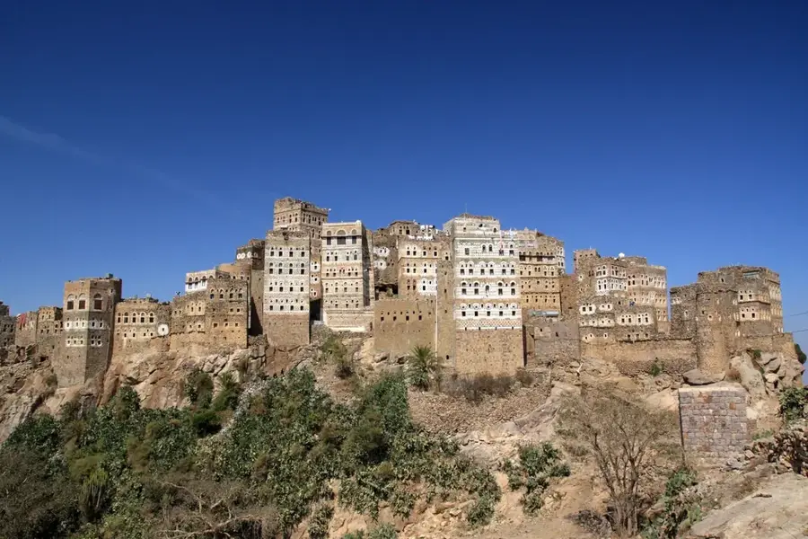
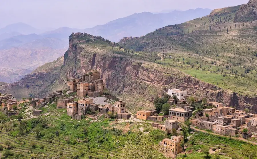
- Top sights: Jabal al Qurun · Jabal al `Asus · Jabal Shawkan
- Nearby: Bajil (25 km)
Best time to visit & climate
The most pleasant time to visit is Jan, Feb, Nov.
| Jan | Feb | Mar | Apr | May | Jun | Jul | Aug | Sep | Oct | Nov | Dec | |
|---|---|---|---|---|---|---|---|---|---|---|---|---|
| Avg °C | 20 | 22 | 24 | 26 | 27 | 29 | 27 | 27 | 27 | 24 | 22 | 20 |
| Rain mm | 2 | 2 | 2 | 8 | 5 | 3 | 11 | 15 | 5 | 5 | 3 | 7 |
📋 Practical info
Geography
Facts
- The catchment area of Wadi Surdud extends over 2,500 square kilometers.
- The most important tributaries of the wadi originate in the mountains of Al Mahwit.
- Flash floods in the wadi can reach flow velocities of several meters per second.
- The wadi's alluvial fans in the Tihama are ecologically valuable biotopes.
- Wadi Surdud is known for its populations of freshwater fish.
- Modern dam projects aim for better control of the water masses.
Explore nearby
Notable places around
Route planner — Car & Motorhome
Where do you start? We build the route here, with stops and country notes along the way.
© OpenStreetMap contributors · OpenRouteService
Sights in the town Wadi Surdud (3)
Sights nearby
Frequently asked questions
What is special about Wadi Surdud?
Can you hike there?
Are there accommodations on-site?
Is a 4x4 necessary?
Best time to visit?
Wadi Surdud: where is it located?
Wadi Surdud: what is there to see?
Wadi Surdud: when is the best time to visit?
Wadi Surdud: why is it worth visiting?

Nearby cities


History & landmarks

Nature


More places