Plizio Visual Lab
Wadi Siham

Weather…
Water temperature…
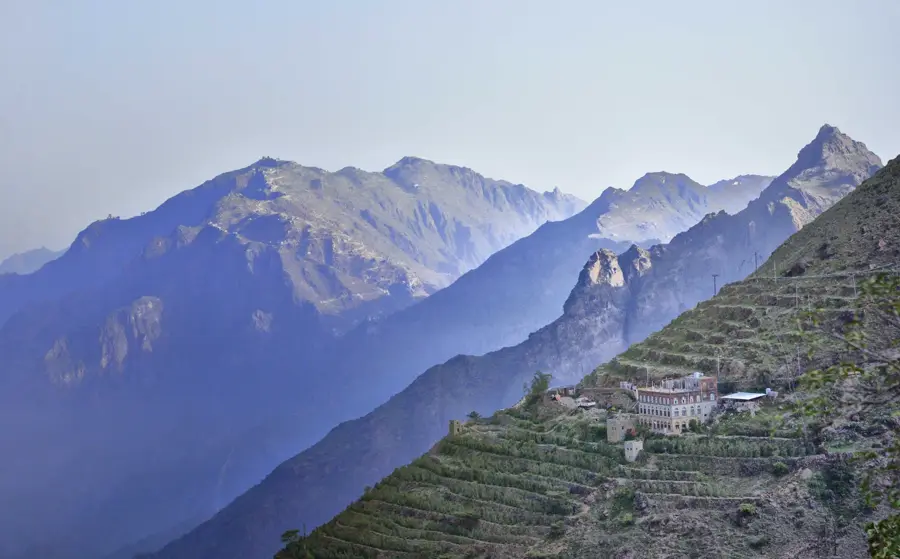
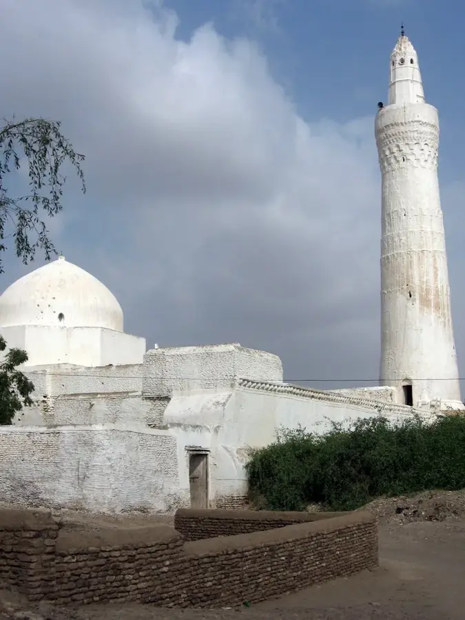
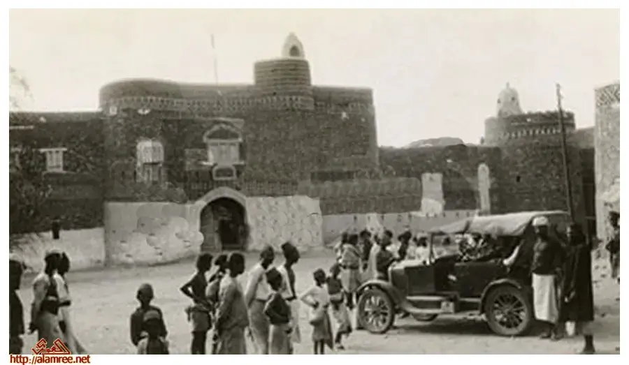
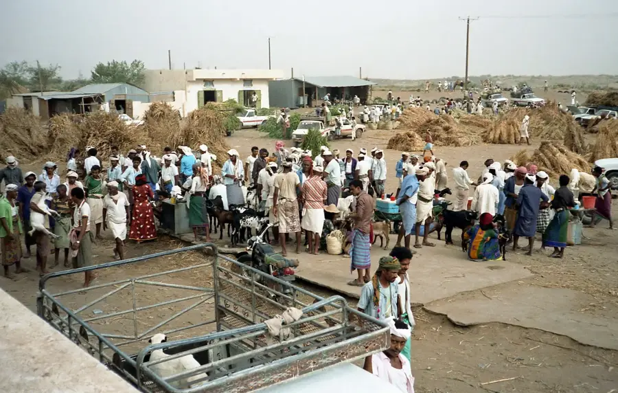
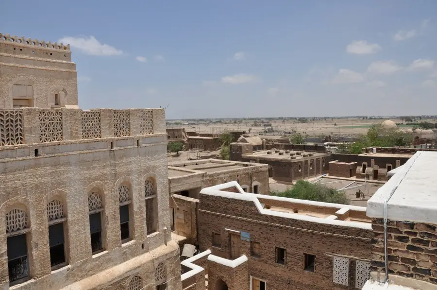
Wadi Siham is one of the largest and most hydrographically important wadis in western Yemen, connecting the central highlands with the Tihama coastal plain. It originates in the rugged mountains southwest of the capital Sana'a and flows westward towards the Red Sea. Along its path, it carves through deep gorges and wide valleys, passing numerous settlements that depend on its seasonal water flow. Water management in Wadi Siham is highly developed, with modern dams and traditional channels used to harness surface water for the large-scale cultivation of sorghum, maize, and various fruits. Especially in the Tihama plain, the wadi serves as the lifeline for local agriculture and contributes to groundwater recharge in this extremely arid region. Ecologically, the wadi provides habitats for diverse plant species and acts as a corridor for wildlife. Despite challenges from soil erosion and excessive water extraction, Wadi Siham remains a central factor for regional food security and the economic development of western Yemen.
- Location: Yemen
- Nearby: Bajil (25 km)
Best time to visit & climate
The most pleasant time to visit is Jan, Feb, Dec.
| Jan | Feb | Mar | Apr | May | Jun | Jul | Aug | Sep | Oct | Nov | Dec | |
|---|---|---|---|---|---|---|---|---|---|---|---|---|
| Avg °C | 26 | 26 | 28 | 31 | 32 | 33 | 33 | 32 | 33 | 31 | 28 | 26 |
| Rain mm | 2 | 2 | 5 | 15 | 18 | 24 | 56 | 70 | 44 | 45 | 4 | 8 |
📋 Practical info
Geography
Facts
- The headwater region is situated at an altitude of nearly 3,000 meters above sea level.
- The wadi has a total length of approximately 150 to 170 kilometers.
- A modern dam in Wadi Siham was completed in 2005 for flash flood control.
- The wadi's catchment area covers more than 2,500 square kilometers.
- In the Tihama coastal plain, the wadi forms a wide alluvial delta.
- The river only reaches the Red Sea during exceptionally heavy rainfall events.
Explore nearby
Notable places around
Route planner — Car & Motorhome
Where do you start? We build the route here, with stops and country notes along the way.
© OpenStreetMap contributors · OpenRouteService
Sights nearby
Frequently asked questions
Is Wadi Siham suitable for hiking?
What is the landscape like?
Can you camp there?
Is there mobile coverage?
What should you bring?
Wadi Siham: where is it located?
Wadi Siham: when is the best time to visit?
Wadi Siham: why is it worth visiting?

Nearby cities
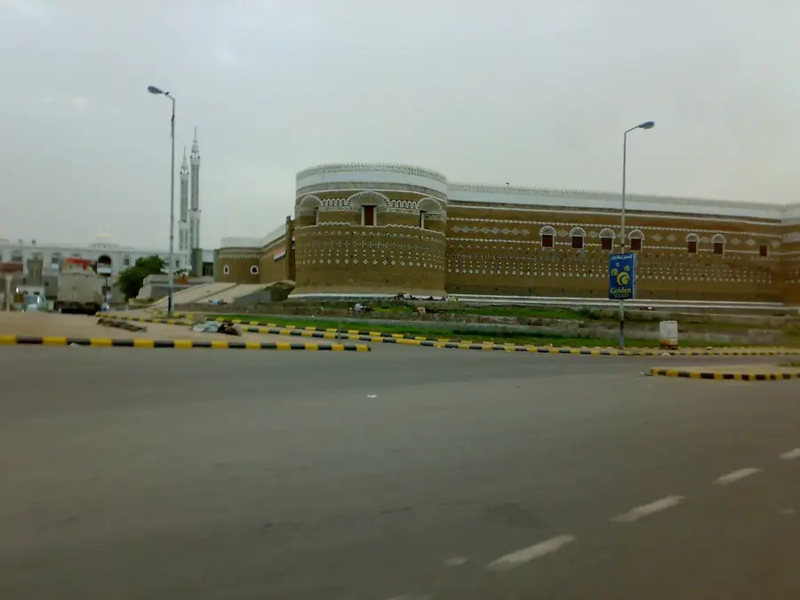
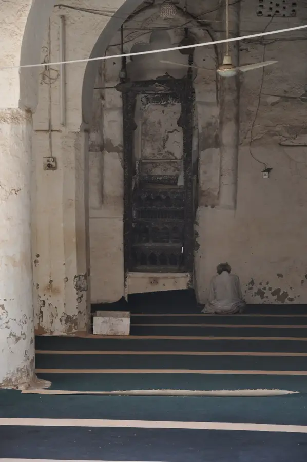
History & landmarks
Nature
More places