Plizio Visual Lab
Sierra de San Luis
Weather…
Water temperature…
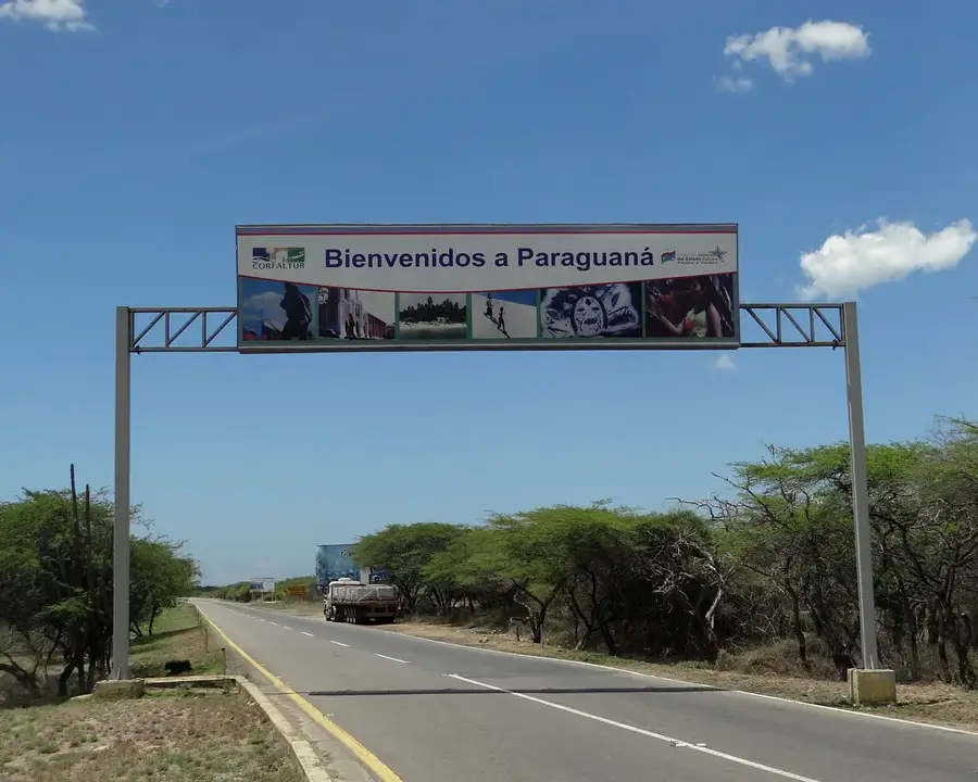
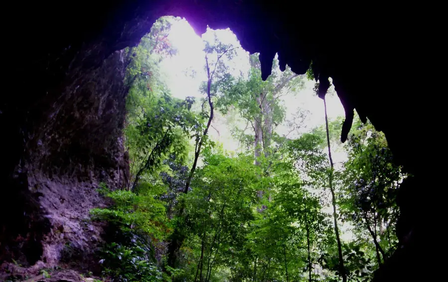
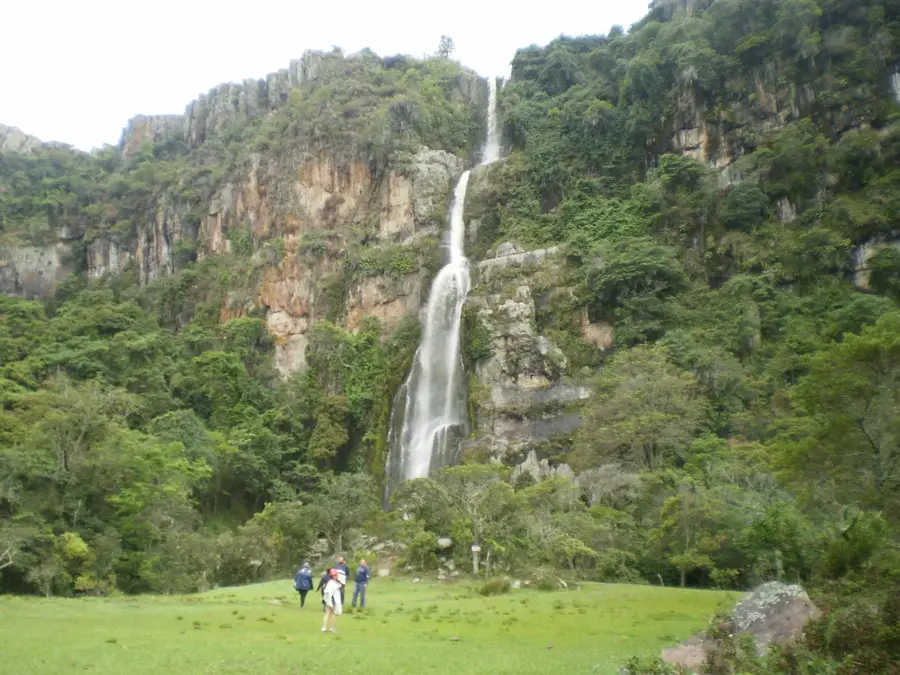
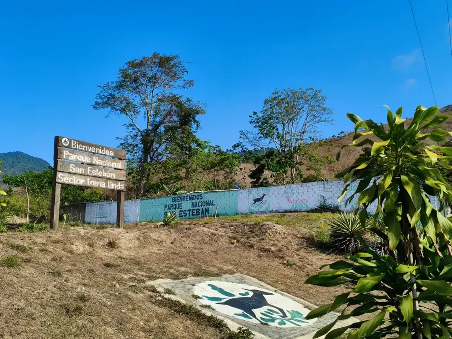
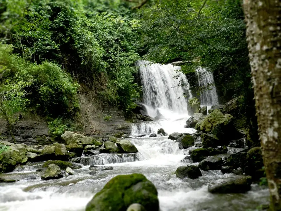
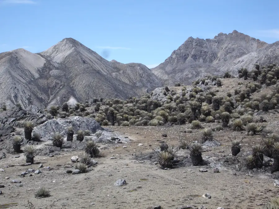
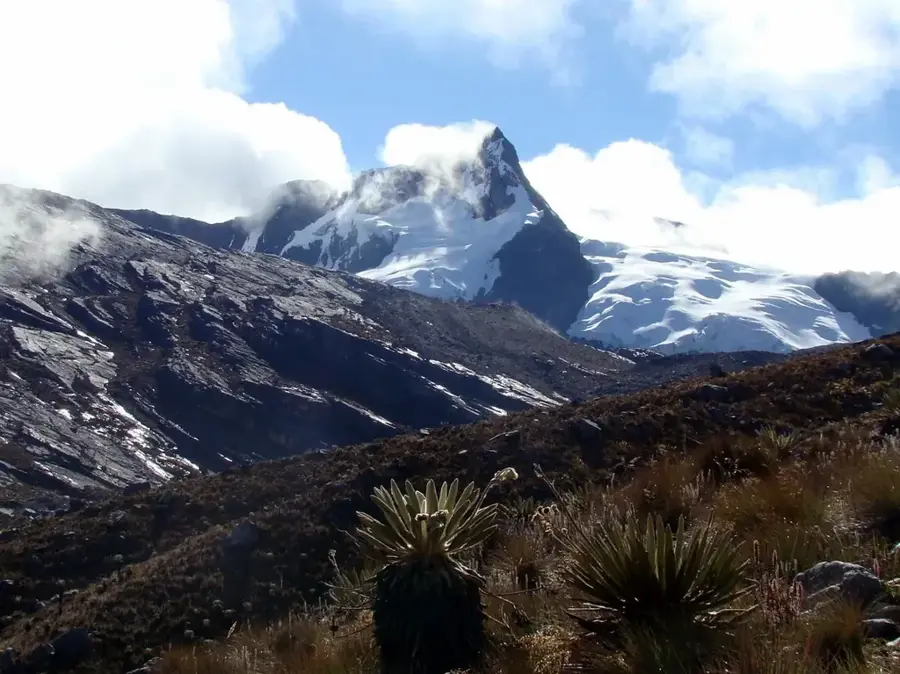
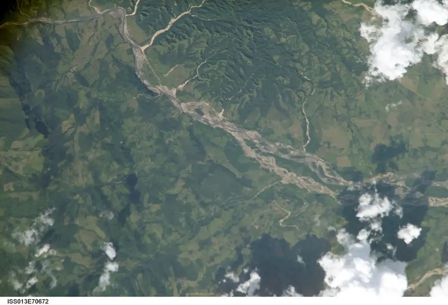
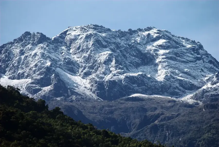
The Sierra de San Luis is a middle-altitude mountain range in Falcón State, northwestern Venezuela, forming the core of the Juan Crisóstomo Falcón National Park. Reaching heights of up to 1,500 meters, the range is characterized by a complex karst relief formed by the chemical weathering of limestone. This geological composition has led to the creation of numerous caves and sinkholes, including the famous 'Haitón del Guarataro,' Venezuela's deepest vertical shaft at over 300 meters. The range functions as a 'biological island' within the otherwise arid Falcón region, intercepting moist trade winds to sustain dense cloud forests. These forests are vital for the water supply of the Paraguaná Peninsula and the city of Coro, as they host the headwaters of important rivers like the Mitare. Historically, the Sierra served as a sanctuary for resistance fighters during the Federal War in the 19th century. Today, it is a significant hub for ecotourism and scientific research in speleology and botany.
- Location: Venezuela
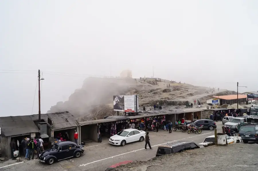
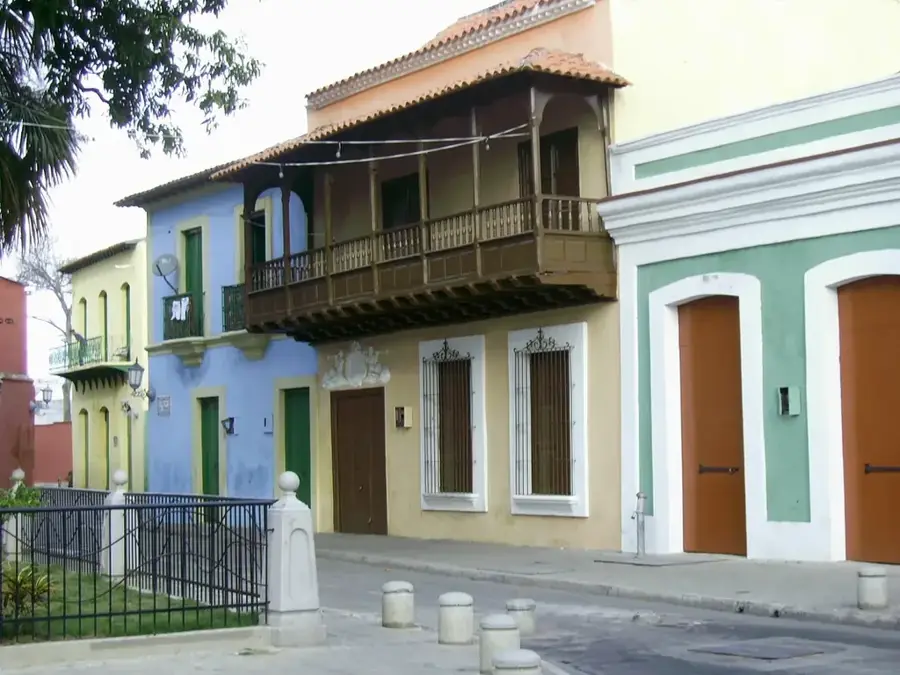
- Top sights: El haitón del Guarataro · Salón del Reino de los Testigos de Jehová · Iglesia Misionera Evangélica de la Sierra
Best time to visit & climate
The most pleasant time to visit is Jan–Mar.
| Jan | Feb | Mar | Apr | May | Jun | Jul | Aug | Sep | Oct | Nov | Dec | |
|---|---|---|---|---|---|---|---|---|---|---|---|---|
| Avg °C | 25 | 25 | 26 | 27 | 27 | 27 | 27 | 27 | 28 | 27 | 26 | 25 |
| Rain mm | 25 | 17 | 15 | 28 | 44 | 44 | 45 | 49 | 50 | 87 | 79 | 47 |
📋 Practical info
Geography
Facts
- Highest elevation is approximately 1,500 meters.
- Home to the 305-meter-deep Haitón del Guarataro shaft.
- Part of the Juan Crisóstomo Falcón National Park (est. 1987).
- Most important water source for Falcón State.
- Composed primarily of Tertiary limestone.
- Annual rainfall reaches up to 1,500 mm.
Explore nearby
Notable places around
Route planner — Car & Motorhome
Where do you start? We build the route here, with stops and country notes along the way.
© OpenStreetMap contributors · OpenRouteService
Sights in the town Sierra de San Luis (4)
Sights nearby
Frequently asked questions
What characterizes the Sierra de San Luis?
Are the caves open for tourists?
Is it very hot there?
What is the best season?
Are there hiking trails there?
Sierra de San Luis: where is it located?
Sierra de San Luis: what is there to see?
Sierra de San Luis: when is the best time to visit?
Sierra de San Luis: why is it worth visiting?

Nature

More places