Plizio Visual Lab
Sierra de Falcón

Weather…
Water temperature…
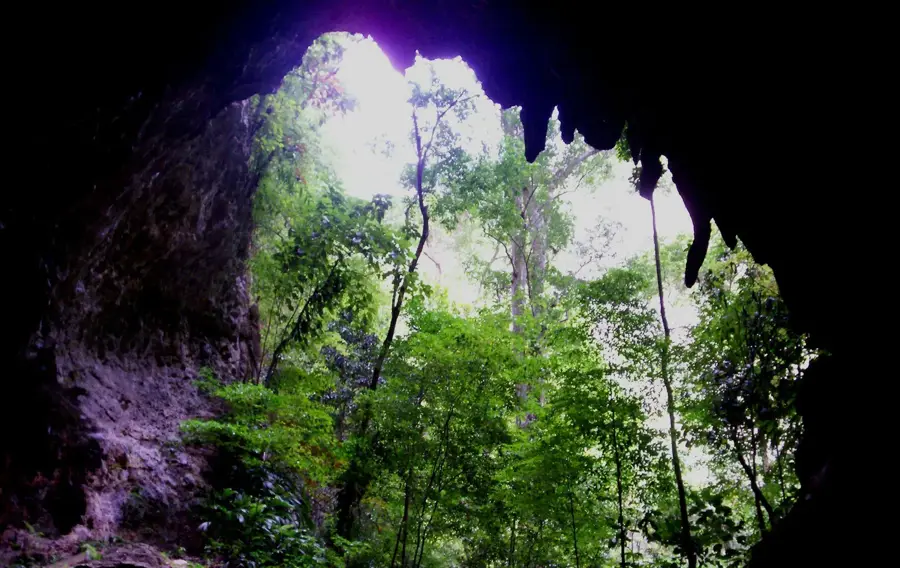
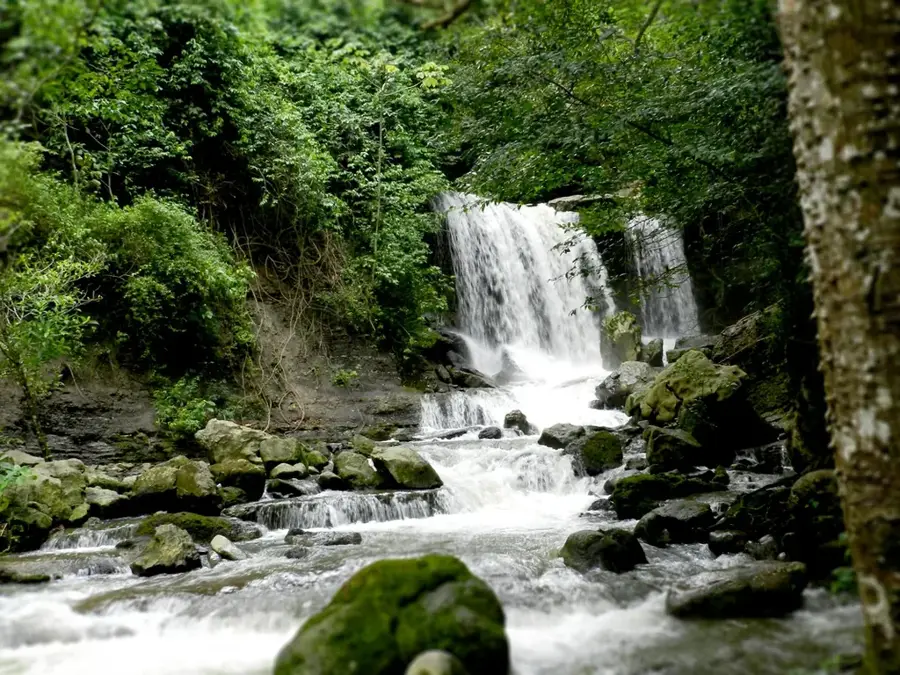
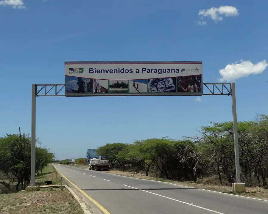
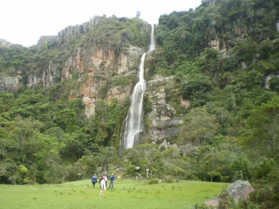
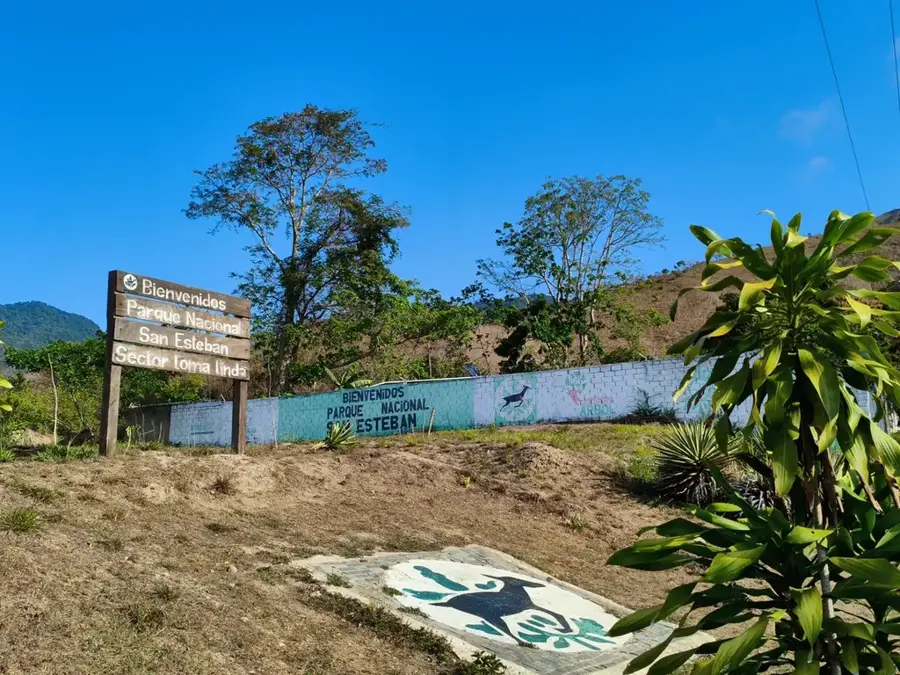
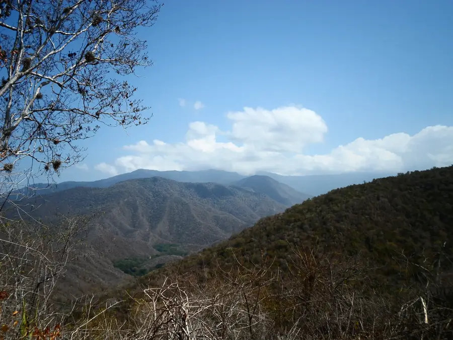
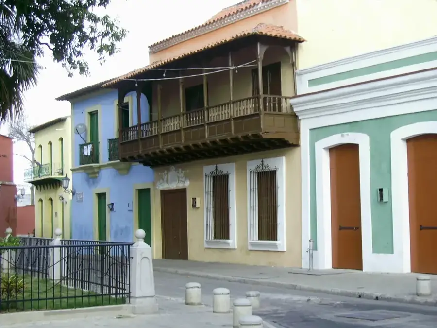
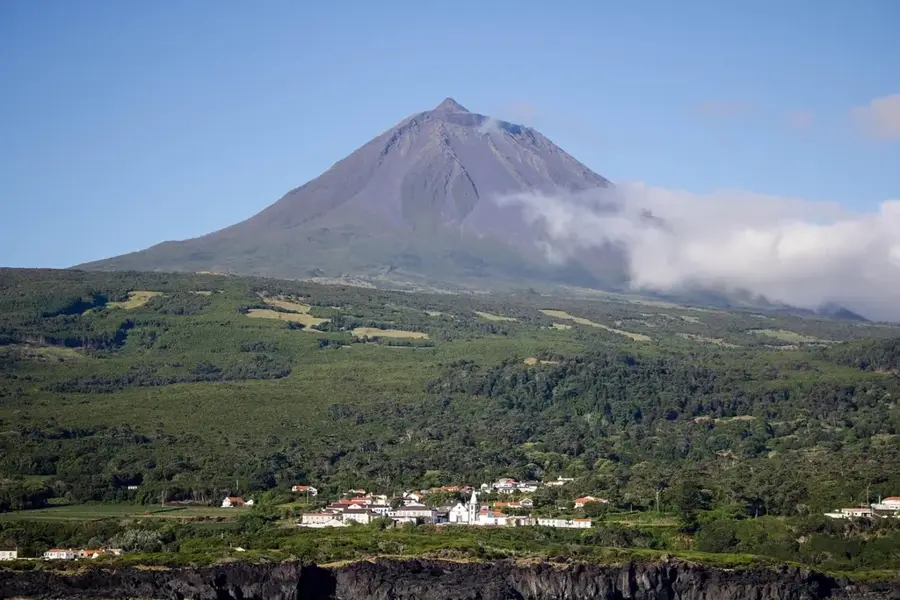
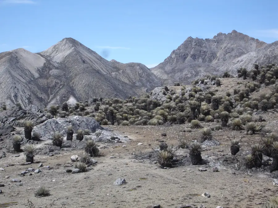
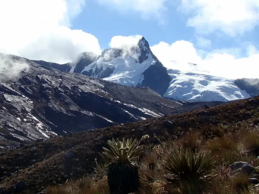
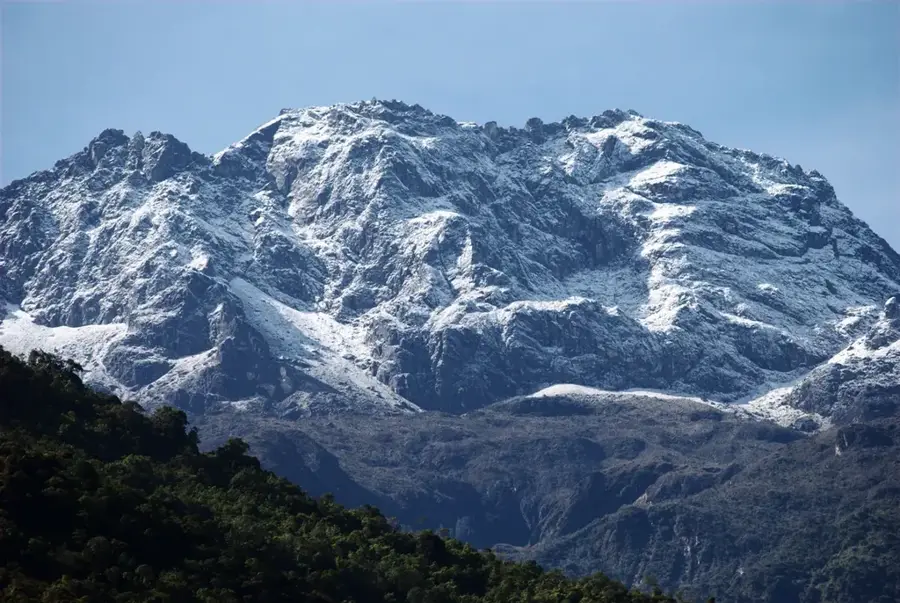
The Sierra de Falcón is a mountain system in the northwestern Venezuelan state of the same name, characterized by a diverse relief of valleys, hills, and middle-altitude ranges. Geologically, the region is highly significant as it consists predominantly of Tertiary sedimentary rocks rich in fossils and paleontological sites. The climate varies greatly from semi-arid zones at lower elevations to humid montane forests at the summits, supporting high biological diversity. The Sierra encompasses several protected areas, including the Sierra de San Luis National Park, famous for its spectacular karst formations and deep cavern systems. Historically, the region was a vital settlement area for the indigenous Caquetío people and played a central role in colonial history as a link between the coast and the hinterland. Economically, the Sierra is utilized for coffee and cocoa cultivation as well as livestock ranching, with the mountain water resources being of existential importance for the entire Falcón State. The relief also features potential for wind energy production due to the consistent trade winds.
- Location: Venezuela
- Top sights: Cerro Galán · Cerro El Encantico · Cerro Los Saltos
Best time to visit & climate
The most pleasant time to visit is Jan–Mar.
| Jan | Feb | Mar | Apr | May | Jun | Jul | Aug | Sep | Oct | Nov | Dec | |
|---|---|---|---|---|---|---|---|---|---|---|---|---|
| Avg °C | 26 | 26 | 27 | 27 | 28 | 27 | 27 | 28 | 28 | 27 | 27 | 26 |
| Rain mm | 27 | 15 | 13 | 31 | 50 | 53 | 61 | 65 | 64 | 92 | 86 | 47 |
📋 Practical info
Geography
Facts
- Highest peaks reach up to 1,500 meters.
- Primary geological formation: Tertiary limestone.
- Home to the Sierra de San Luis National Park.
- Site of significant Miocene fossil discoveries.
- Traditional region for high-quality coffee production.
- Serves as the main watershed for Falcón State.
Explore nearby
Notable places around
Route planner — Car & Motorhome
Where do you start? We build the route here, with stops and country notes along the way.
© OpenStreetMap contributors · OpenRouteService
Sights in the town Sierra de Falcón (3)
Sights nearby
Frequently asked questions
What weather can I expect in Sierra de Falcón?
Is the area family-friendly?
Are there dining facilities there?
What is the best way to reach Sierra de Falcón?
Do I have to pay an entrance fee for nature reserves?
Sierra de Falcón: where is it located?
Sierra de Falcón: what is there to see?
Sierra de Falcón: when is the best time to visit?
Sierra de Falcón: why is it worth visiting?

Nature
More places