Plizio Visual Lab
Pico Púlpito
Weather…
Water temperature…
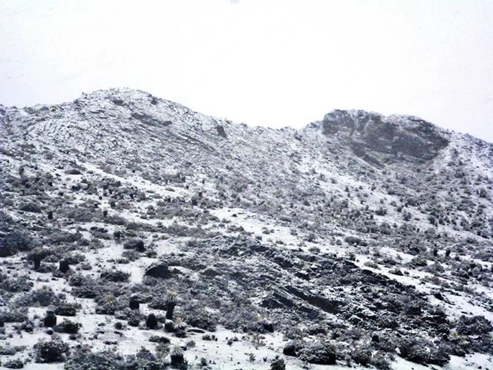
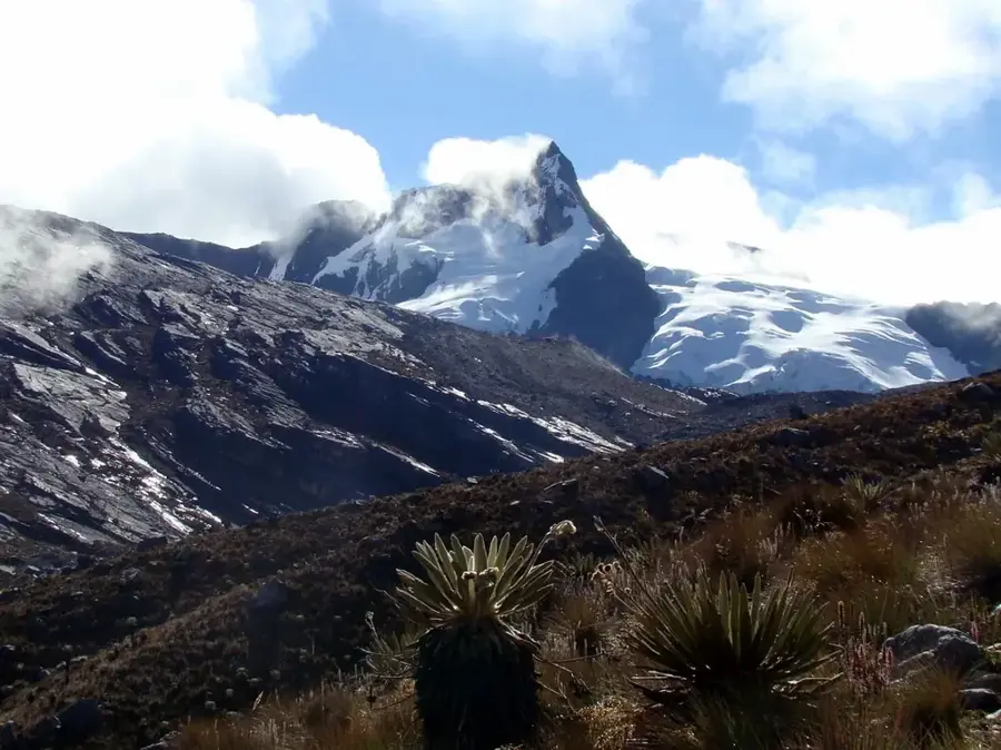
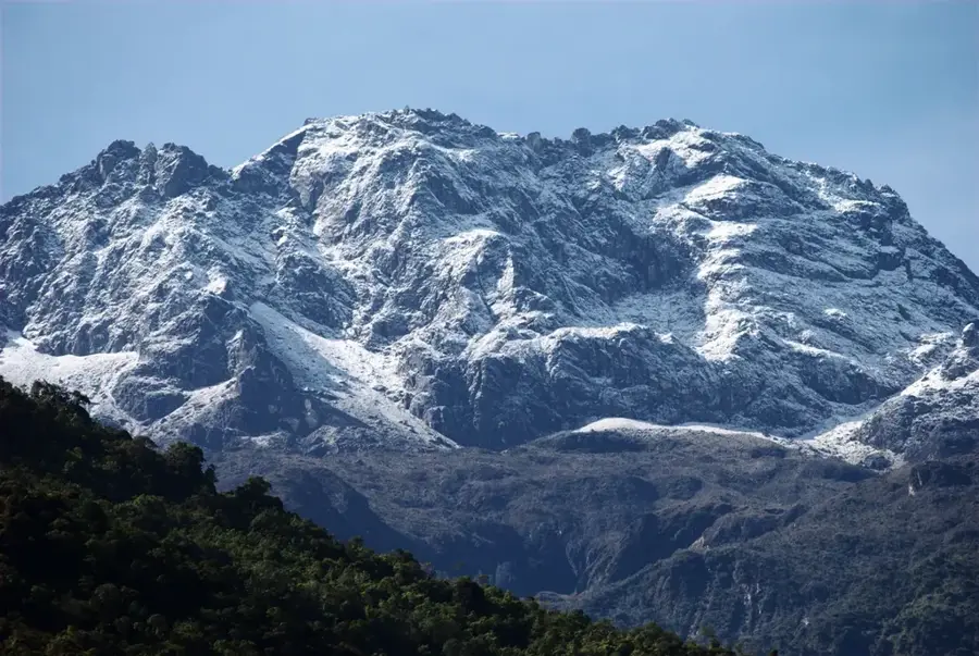
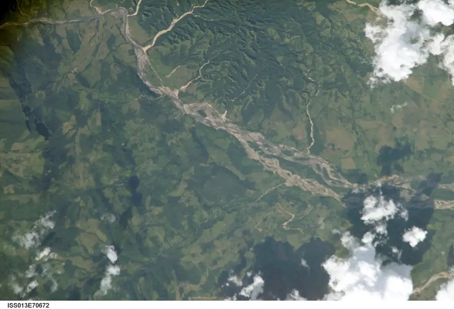
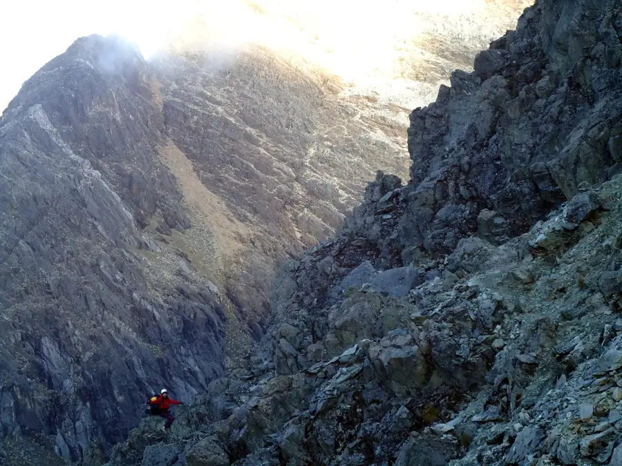
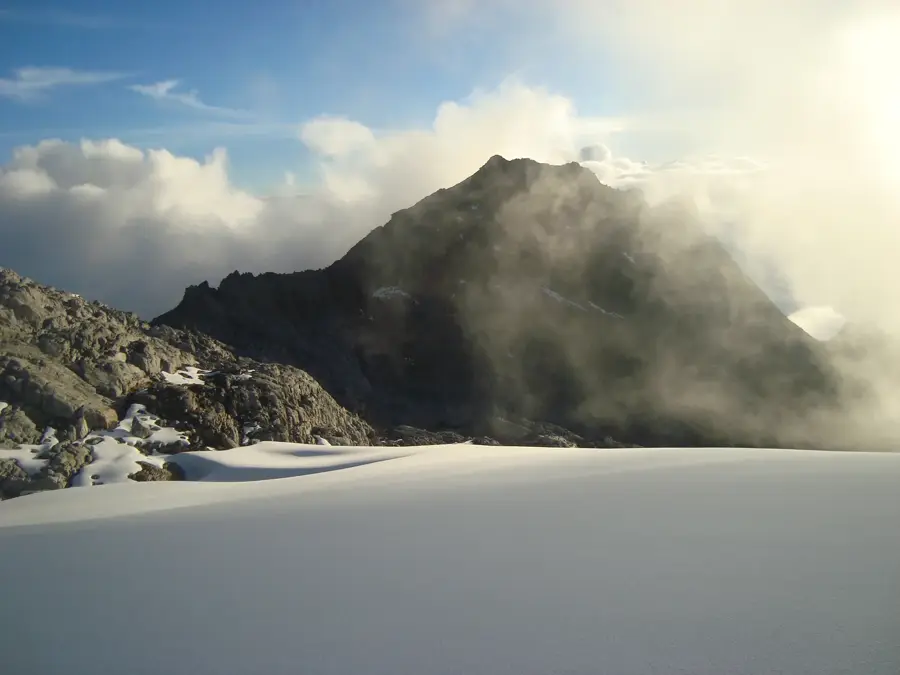
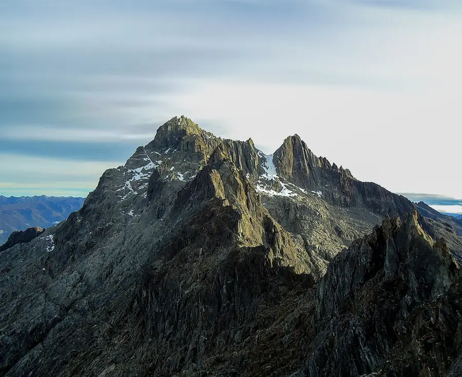
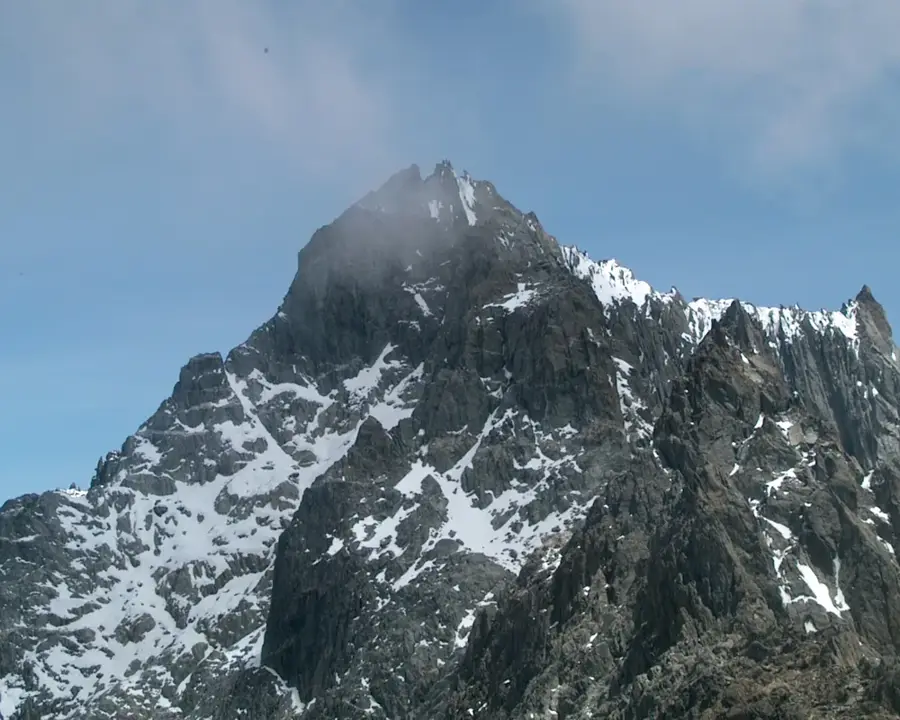
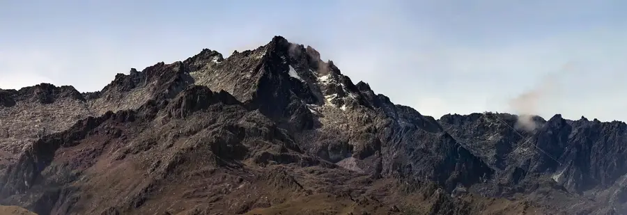
Pico Púlpito is the highest elevation in Táchira State and one of the southernmost significant peaks of the Venezuelan Andes, standing at 3,942 meters. It is part of the Tamá National Park, which extends across the border into Colombia, functioning as a vital cross-border ecological corridor. Geologically, the peak consists of stratified sedimentary rocks shaped by tectonic uplift and subsequent erosion into a characteristic pulpit-like form, giving it the name 'Púlpito.' The relief is defined by sheer rock faces and vast stretches of paramo, hosting a high number of endemic plant species. Numerous rivers originate in this region, draining into both the Maracaibo and Orinoco basins, which grants the mountain high hydrological importance. Historically, the area around Pico Púlpito was a site for border expeditions and botanical studies in the early 20th century. For climbers, Púlpito is regarded as a challenging destination due to its unpredictable weather conditions and often rugged, pathless terrain.
- Location: Venezuela
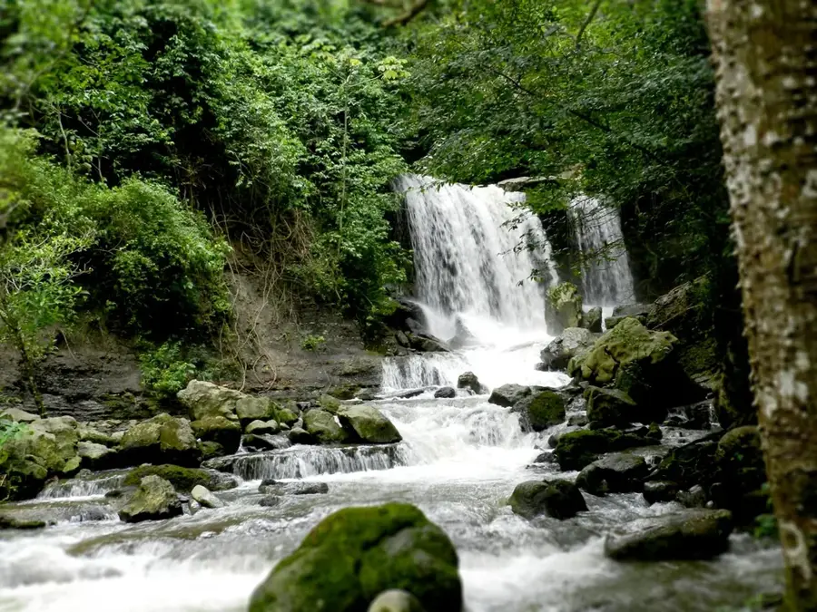
- Top sights: Loma de Sinigüís · Peña El Hombre
Best time to visit & climate
The most pleasant time to visit is Jan–Mar.
| Jan | Feb | Mar | Apr | May | Jun | Jul | Aug | Sep | Oct | Nov | Dec | |
|---|---|---|---|---|---|---|---|---|---|---|---|---|
| Avg °C | 17 | 18 | 18 | 18 | 18 | 17 | 17 | 17 | 18 | 17 | 17 | 17 |
| Rain mm | 30 | 35 | 72 | 143 | 163 | 136 | 119 | 115 | 135 | 156 | 133 | 68 |
📋 Practical info
Geography
Facts
- Elevation is 3,942 meters.
- Highest mountain in Táchira State.
- Part of the binational Tamá National Park.
- Belongs to the Tamá Massif.
- Name meaning: 'The Pulpit Peak'.
- Strategic watershed between the Orinoco and Maracaibo basins.
Explore nearby
Notable places around
Route planner — Car & Motorhome
Where do you start? We build the route here, with stops and country notes along the way.
© OpenStreetMap contributors · OpenRouteService
Sights in the town Pico Púlpito (2)
Sights nearby
Frequently asked questions
Where is Pico Púlpito?
Can it be easily climbed?
Do you need a guide?
When should you travel?
Is there accommodation there?
Pico Púlpito: where is it located?
Pico Púlpito: what is there to see?
Pico Púlpito: when is the best time to visit?
Pico Púlpito: why is it worth visiting?

Nature
More places