Plizio Visual Lab
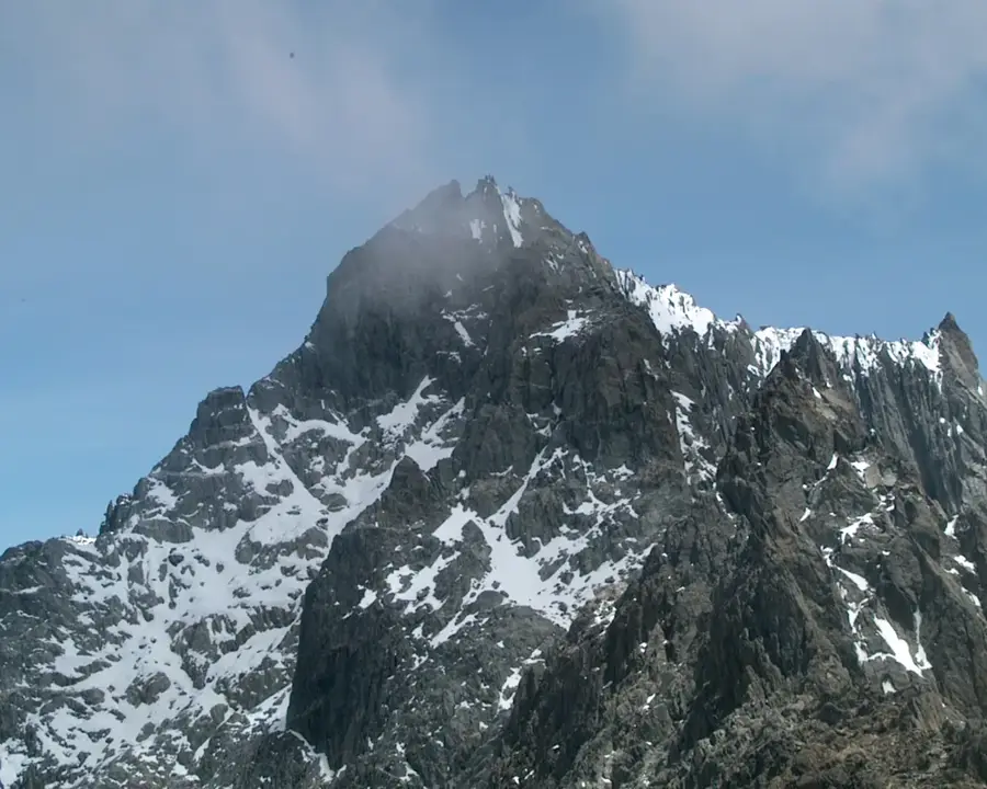
Pico El Buitre

Weather…
Water temperature…
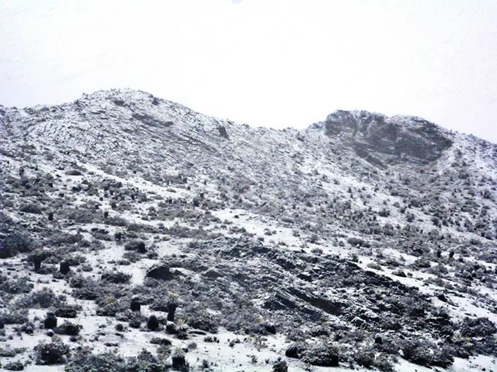
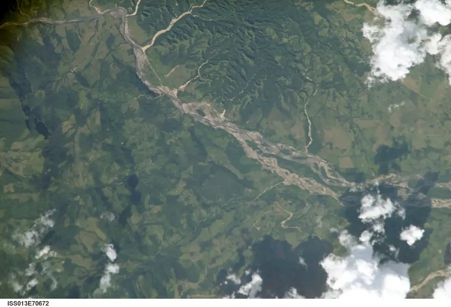
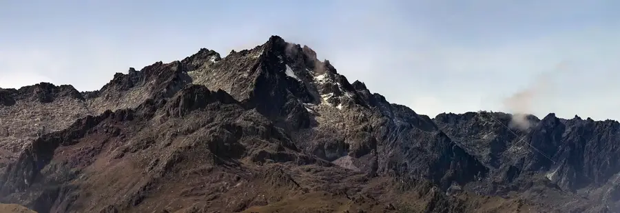
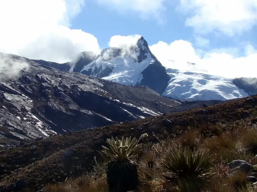
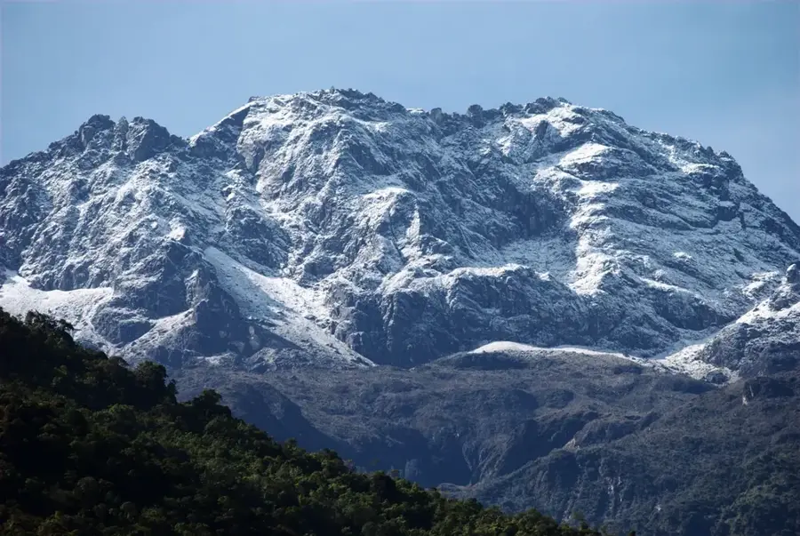
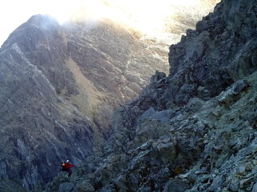
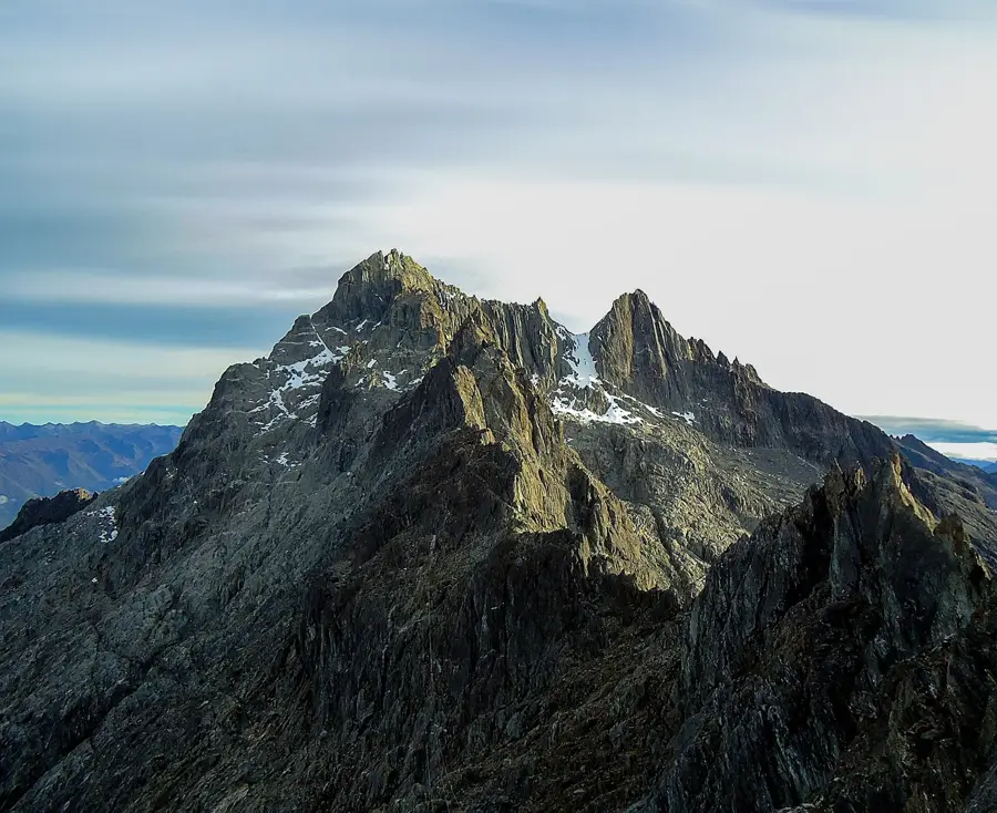
Pico El Buitre, also known as Alto de Mucuchíes, is one of the most prominent elevations in the Sierra de la Culata, Mérida State, reaching an altitude of approximately 4,650 meters. Geologically, the mountain is part of the crystalline core of the Venezuelan Andes, consisting primarily of granites and gneisses uplifted during the Tertiary period. The relief displays clear evidence of Pleistocene glaciation, such as cirque lakes, moraine ridges, and sharp arêtes. The summit is located amidst an expansive paramo landscape, characterized by extreme cold, high UV radiation, and the iconic Frailejones flora. Historically, the region was a crucial landmark for travelers on the Transandean route long before the modern highway was completed. The hydrological significance of Pico El Buitre is notable, as its runoff feeds numerous high-altitude lagoons essential for regional water management. Despite the extreme conditions, the area hosts specialized fauna, including the Andean condor and various endemic rodent species.
- Location: Venezuela
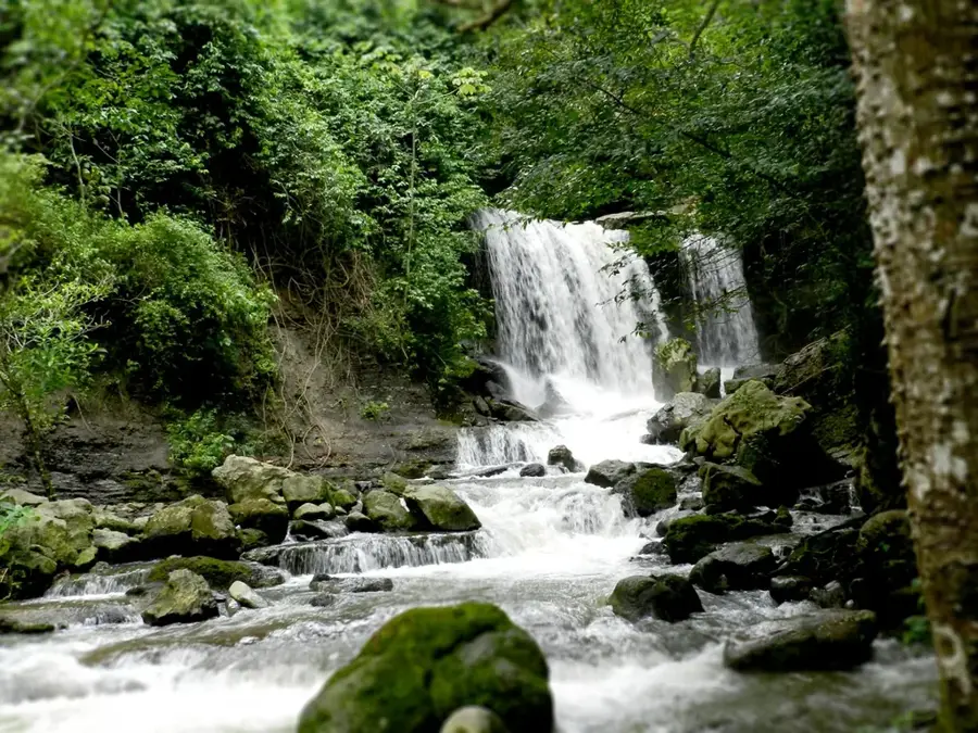
- Top sights: Cerro Las Hernández · Loma El Medio · Ecowild
Best time to visit & climate
The most pleasant time to visit is Jan, Feb, Dec.
| Jan | Feb | Mar | Apr | May | Jun | Jul | Aug | Sep | Oct | Nov | Dec | |
|---|---|---|---|---|---|---|---|---|---|---|---|---|
| Avg °C | 21 | 21 | 22 | 22 | 22 | 22 | 22 | 23 | 23 | 22 | 21 | 21 |
| Rain mm | 33 | 37 | 72 | 134 | 141 | 106 | 100 | 108 | 131 | 153 | 129 | 70 |
📋 Practical info
Geography
Facts
- Elevation is approximately 4,650 meters.
- Part of the Sierra de la Culata Massif.
- Features prominent Pleistocene moraines.
- Habitat for the endangered Andean condor.
- Average temperature is often below freezing point.
- Crucial watershed for the Chama Valley.
Explore nearby
Notable places around
Route planner — Car & Motorhome
Where do you start? We build the route here, with stops and country notes along the way.
© OpenStreetMap contributors · OpenRouteService
Sights in the town Pico El Buitre (7)
Sights nearby
Frequently asked questions
How high is Pico El Buitre?
Is a permit required for climbing?
Is a rope needed for climbing?
What is the best season?
Are there dangers from sudden weather changes?
Pico El Buitre: where is it located?
Pico El Buitre: what is there to see?
Pico El Buitre: when is the best time to visit?
Pico El Buitre: why is it worth visiting?

Nature
More places