Plizio Visual Lab
Pico El Águila
Weather…
Water temperature…
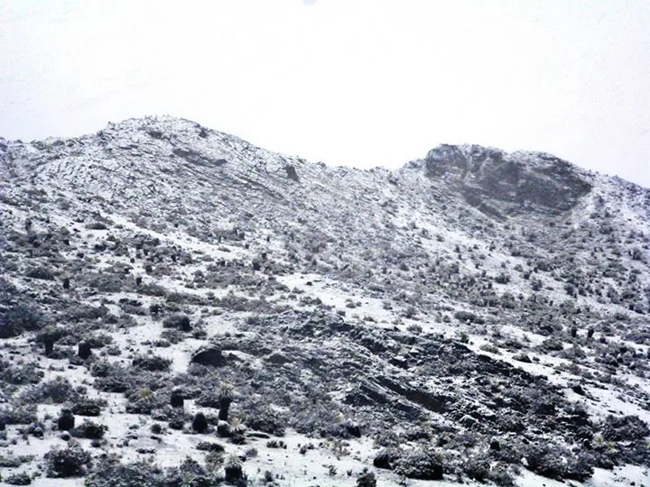
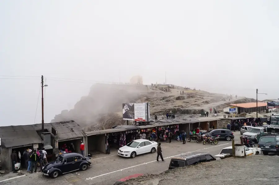
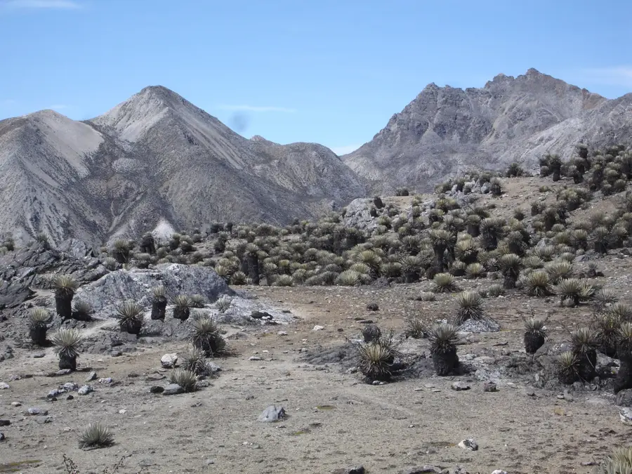
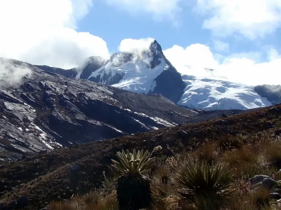
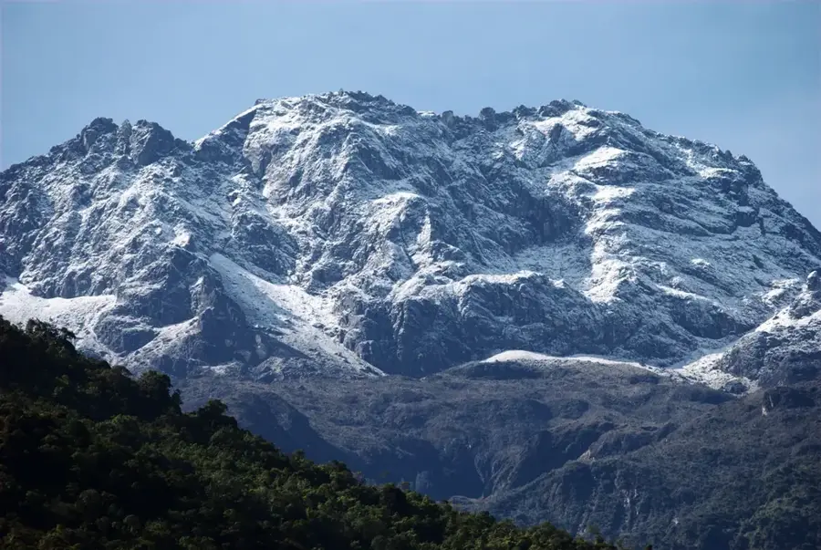
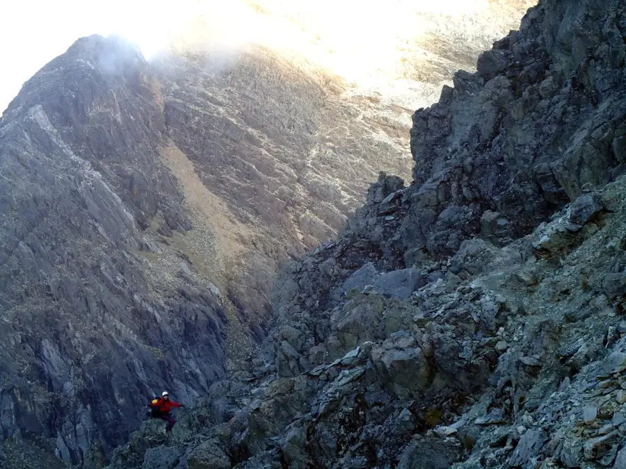
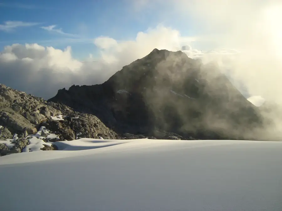
Pico El Águila, officially designated as Collado del Cóndor, is a prominent mountain pass in Mérida State and serves as the highest point of the Venezuelan Transandean Highway at an elevation of 4,118 meters. The pass was developed in 1925 during the administration of Juan Vicente Gómez to integrate the Andean region into the national road network, facilitating trade and movement. In 1927, a bronze monument of an Andean condor was erected to commemorate the passage of Simón Bolívar's army during the 1813 Admirable Campaign. Geographically, the area is situated within the paramo ecosystem, a high-altitude alpine tundra characterized by extreme diurnal temperature fluctuations and endemic flora such as the Frailejones. The pass lies within the Sierra de la Culata National Park and forms a strategic continental divide between the Chama and Motatán river basins. Due to the thin atmosphere and frequent snowfall during the rainy season from May to October, the pass has been a significant logistical and historical landmark for nearly a century.
- Location: Venezuela
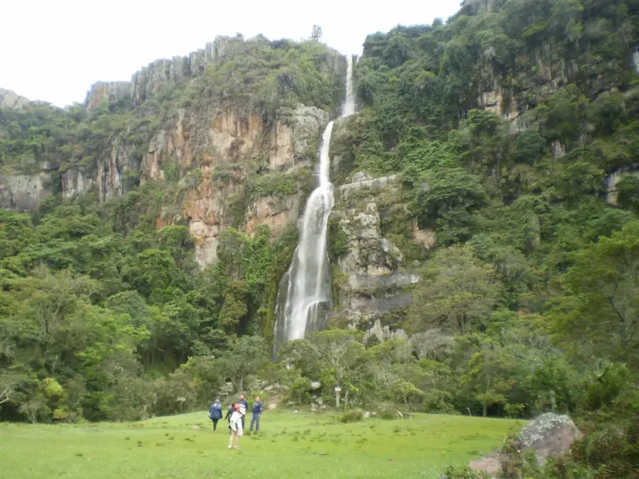
- Top sights: Pico Mifés · Cerro El Duende · Pico Los Caracoles
Best time to visit & climate
The most pleasant time to visit is Jan, Feb, Dec.
| Jan | Feb | Mar | Apr | May | Jun | Jul | Aug | Sep | Oct | Nov | Dec | |
|---|---|---|---|---|---|---|---|---|---|---|---|---|
| Avg °C | 21 | 21 | 22 | 22 | 22 | 22 | 22 | 23 | 23 | 22 | 21 | 21 |
| Rain mm | 33 | 37 | 72 | 134 | 141 | 106 | 100 | 108 | 131 | 153 | 129 | 70 |
📋 Practical info
Geography
Facts
- Elevation reaches 4,118 meters above sea level.
- The Transandean Highway was completed in 1925.
- The Condor monument was erected in 1927.
- Located within the Sierra de la Culata National Park.
- Average temperatures range from 0°C to 5°C.
- Acts as a watershed for the Chama and Motatán rivers.
Explore nearby
Notable places around
Route planner — Car & Motorhome
Where do you start? We build the route here, with stops and country notes along the way.
© OpenStreetMap contributors · OpenRouteService
Sights in the town Pico El Águila (4)
Sights nearby
Frequently asked questions
How high is Pico El Águila?
Is the place easily accessible?
What to keep in mind regarding altitude?
Is there a monument there?
Is it very cold there?
Pico El Águila: where is it located?
Pico El Águila: what is there to see?
Pico El Águila: when is the best time to visit?
Pico El Águila: why is it worth visiting?

Nature
More places