Plizio Visual Lab
Médanos de Coro National Park
Weather…
Water temperature…
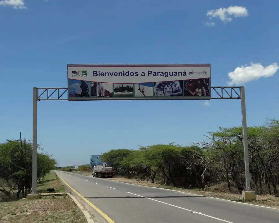
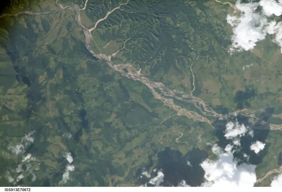
The Médanos de Coro National Park, located in Falcón State, protects Venezuela's most extensive system of shifting sand dunes and is one of the country's most extraordinary ecosystems. Established in 1974, the park covers an area of approximately 91,280 hectares (225,500 acres) on the isthmus connecting the city of Coro to the Paraguaná Peninsula. Geographically, the region is shaped by an arid climate and constant strong trade winds from the northeast, which continuously move the sand and create dune formations up to 40 meters (130 feet) high. This process causes the dunes to change their shape and position over time, making the landscape extremely dynamic. Vegetation is sparse, consisting mainly of thorny shrubs, cacti, and mangroves in the lower coastal zones. Despite the harsh conditions, the park hosts specialized fauna, including lizards, rabbits, and various birds of prey. Historically, the region was a key transit point for indigenous peoples and later colonial settlers. The Médanos de Coro are not only a spectacular natural phenomenon but also serve as a vital buffer zone for the historic city of Coro, a UNESCO World Heritage site.
- Location: Venezuela
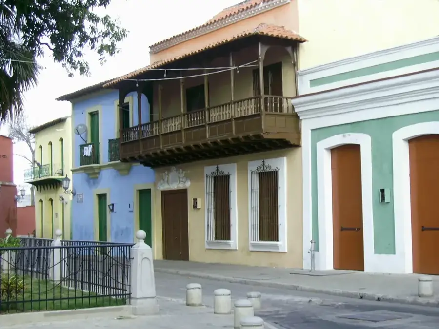
- Top sights: Monumento Generalísimo Francisco de Miranda · Iglesia San Judas Tadeo
Best time to visit & climate
The most pleasant time to visit is Jan–Mar.
| Jan | Feb | Mar | Apr | May | Jun | Jul | Aug | Sep | Oct | Nov | Dec | |
|---|---|---|---|---|---|---|---|---|---|---|---|---|
| Avg °C | 26 | 26 | 26 | 27 | 28 | 28 | 28 | 28 | 28 | 28 | 27 | 27 |
| Rain mm | 31 | 21 | 13 | 18 | 29 | 32 | 34 | 37 | 46 | 90 | 92 | 56 |
📋 Practical info
Geography
Facts
- The park was officially established on February 6, 1974.
- Some of the dunes reach an impressive height of 40 meters (130 feet).
- The sand is originally carried by winds from the Orinoco Delta plains.
- It is the only place in Venezuela with a true desert landscape.
- The average annual temperature in the park is around 28°C (82°F).
- Fossilized remains from the Pleistocene epoch have been found in the area.
Explore nearby
Notable places around
Route planner — Car & Motorhome
Where do you start? We build the route here, with stops and country notes along the way.
© OpenStreetMap contributors · OpenRouteService
Sights in the town Médanos de Coro National Park (2)
Sights nearby
Frequently asked questions
What is special about this place?
When is the visit most pleasant?
Do you need a guide?
Can you buy drinking water there?
Is sandboarding possible there?
Médanos de Coro National Park: where is it located?
Médanos de Coro National Park: what is there to see?
Médanos de Coro National Park: when is the best time to visit?
Médanos de Coro National Park: why is it worth visiting?

Nature

More places