Plizio Visual Lab
Pico Mucuchíes
Weather…
Water temperature…
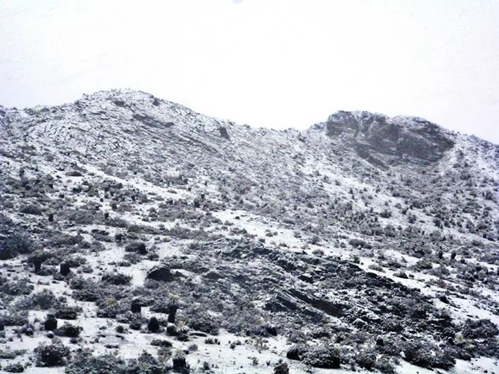
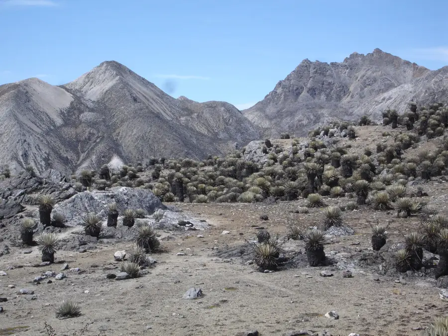
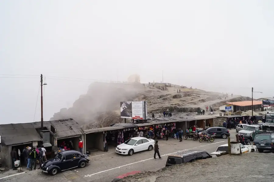
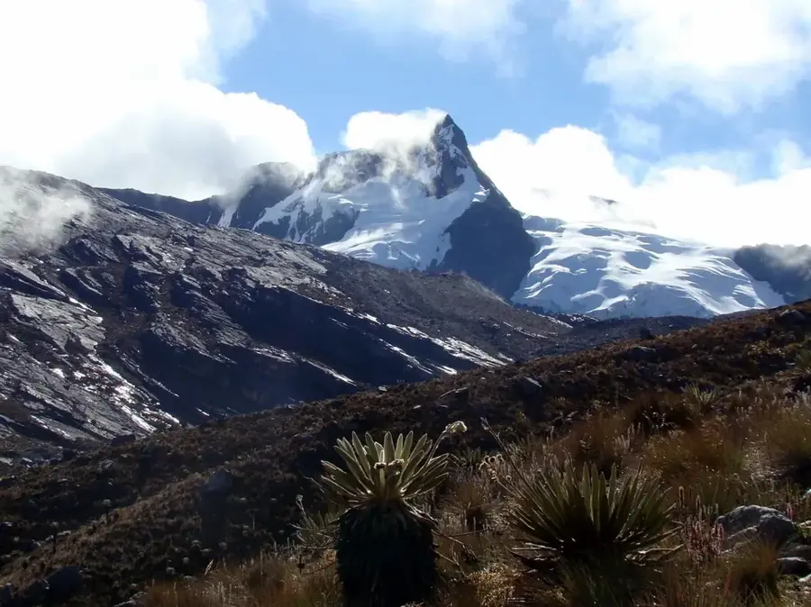
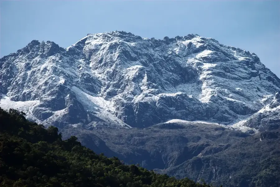
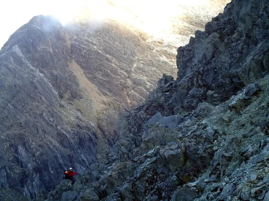
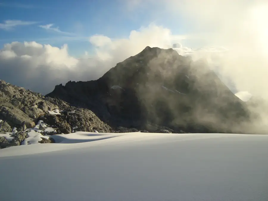
Pico Mucuchíes is a prominent peak in the Venezuelan Andes, located in Mérida State, reaching an elevation of approximately 4,070 meters. Situated near the Collado del Cóndor, it geologically belongs to the Sierra de la Culata range. The relief shows significant evidence of Pleistocene glaciation, characterized by glacial U-shaped valleys and cirques throughout the surrounding landscape. The region is famous for its harsh climate and typical paramo ecosystem, where the woolly Espeletia plants (Frailejones) are the dominant flora. Historically, the area was a vital settlement for the indigenous Mucuchíes people, for whom both the peak and the nearby town are named. The Transandean Highway, completed in 1925, passes close to the summit, providing unprecedented access to these high-altitude terrains. Today, the economic significance of the area revolves around mountain tourism and the cultivation of cold-weather crops like potatoes and garlic on the lower slopes. Its strategic location provides sweeping views of the Chama Valley and the neighboring Sierra Nevada massifs.
- Location: Venezuela
- Top sights: Cerro Saisay · Loma de La Ensillada · Mesa de Los Indios
Best time to visit & climate
The most pleasant time to visit is Jan, Feb, Dec.
| Jan | Feb | Mar | Apr | May | Jun | Jul | Aug | Sep | Oct | Nov | Dec | |
|---|---|---|---|---|---|---|---|---|---|---|---|---|
| Avg °C | 21 | 21 | 22 | 22 | 22 | 22 | 22 | 23 | 23 | 22 | 21 | 21 |
| Rain mm | 33 | 37 | 72 | 134 | 141 | 106 | 100 | 108 | 131 | 153 | 129 | 70 |
📋 Practical info
Geography
Facts
- Elevation is approximately 4,070 meters.
- Part of the Sierra de la Culata mountain range.
- Named after the indigenous Mucuchíes people.
- Located in the state of Mérida.
- Features landforms from Pleistocene glaciations.
- Average temperature ranges from 5°C to 8°C.
Explore nearby
Notable places around
Route planner — Car & Motorhome
Where do you start? We build the route here, with stops and country notes along the way.
© OpenStreetMap contributors · OpenRouteService
Sights in the town Pico Mucuchíes (6)
Sights nearby
Frequently asked questions
Where is Pico Mucuchíes?
Can you easily reach the summit?
How is the weather there?
Should one book a guide?
What is in the city of Mucuchíes?
Pico Mucuchíes: where is it located?
Pico Mucuchíes: what is there to see?
Pico Mucuchíes: when is the best time to visit?
Pico Mucuchíes: why is it worth visiting?

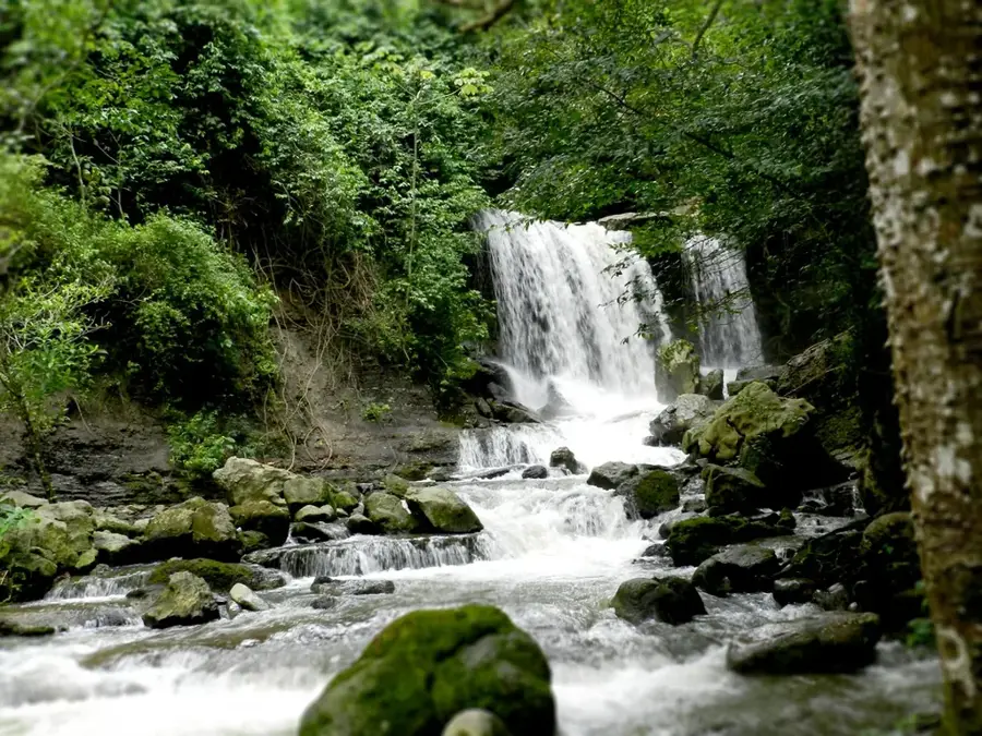
Nature

More places