Plizio Visual Lab
Sierra de la Culata
Weather…
Water temperature…
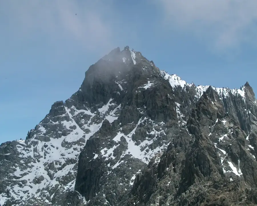
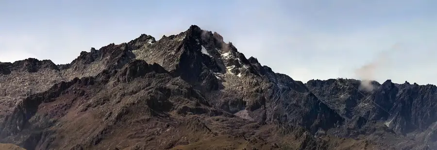
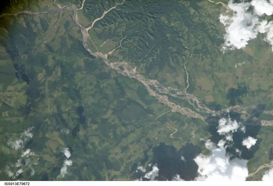
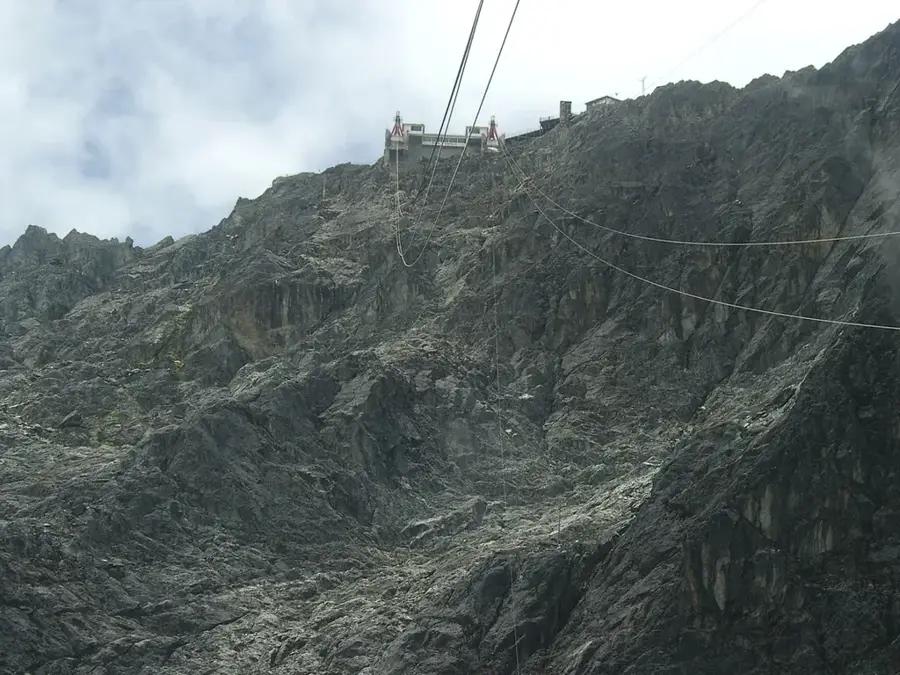
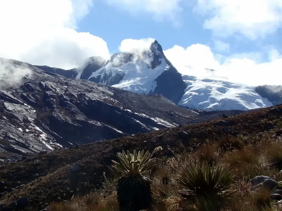
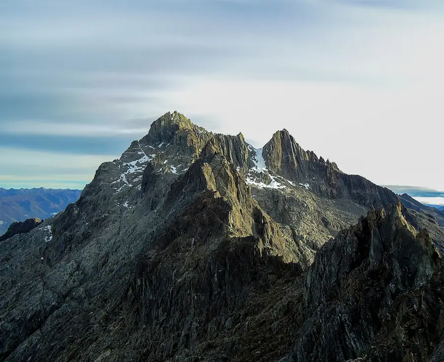
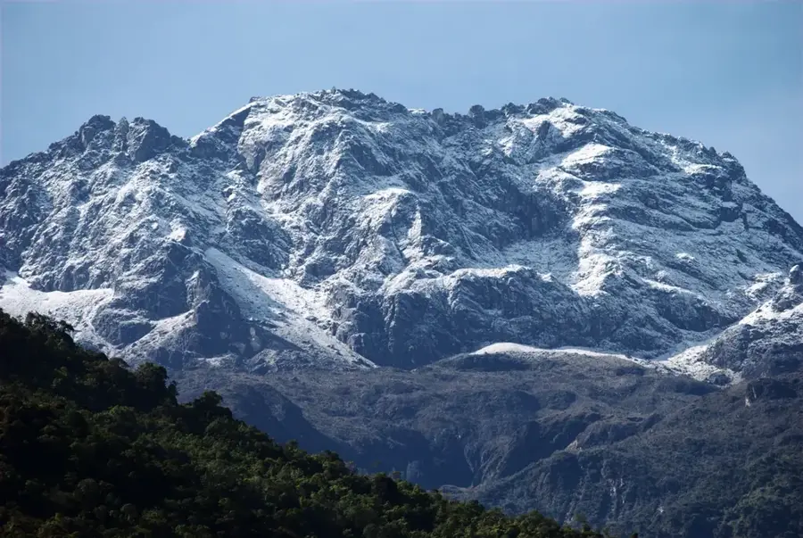
The Sierra de la Culata is one of the two primary mountain ranges of the Venezuelan Andes in Mérida State, running parallel to the Sierra Nevada. The range reaches elevations exceeding 4,600 meters, with Pico El Buitre being one of its most prominent summits. Geologically, the Sierra consists of metamorphic rocks and granites uplifted during the Andean orogeny. A significant portion of the range has been protected since 1989 as the Sierra de la Culata National Park, established to preserve fragile paramo ecosystems and essential regional watersheds. The relief is characterized by expansive high-altitude plateaus, rugged peaks, and numerous lagoons of glacial origin. Botanically, the Sierra is renowned for its diversity of Frailejones and other alpine flora adapted to the extreme cold. The region plays a critical role in providing water for the city of Mérida and surrounding agricultural districts. Historically, the passes of the Sierra have served for centuries as vital links between the high Andes and the Maracaibo Basin.
- Location: Venezuela
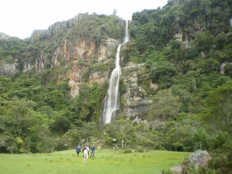
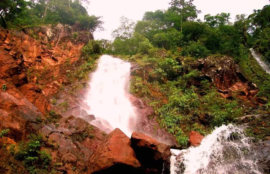
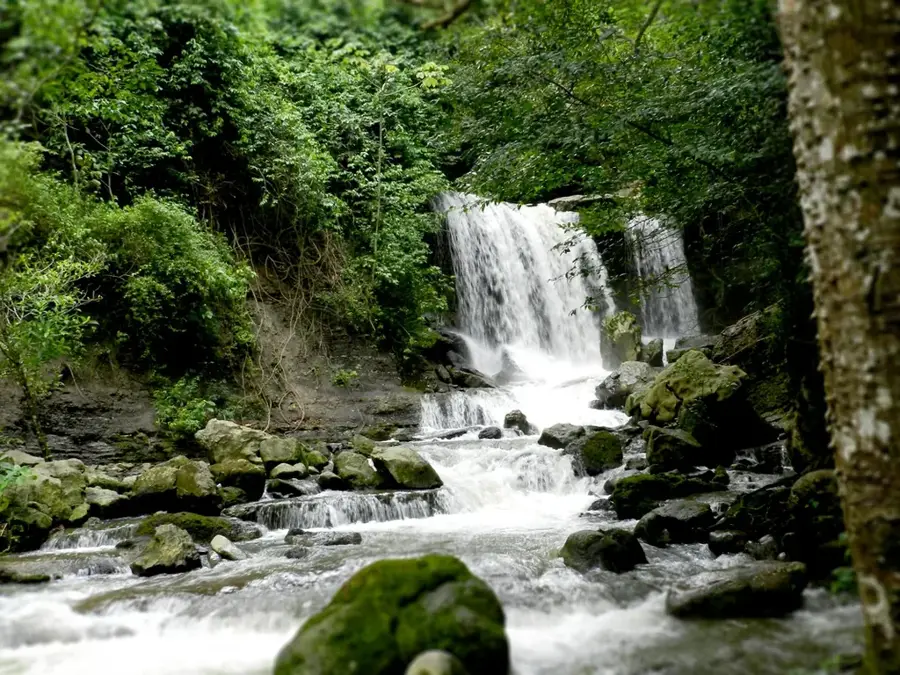
- Top sights: Loma de Los Quemados · Cerro Costa Rica
Best time to visit & climate
The most pleasant time to visit is Jan, Feb, Dec.
| Jan | Feb | Mar | Apr | May | Jun | Jul | Aug | Sep | Oct | Nov | Dec | |
|---|---|---|---|---|---|---|---|---|---|---|---|---|
| Avg °C | 21 | 21 | 22 | 22 | 22 | 22 | 22 | 23 | 23 | 22 | 21 | 21 |
| Rain mm | 33 | 37 | 72 | 134 | 141 | 106 | 100 | 108 | 131 | 153 | 129 | 70 |
📋 Practical info
Geography
Facts
- National Park established on December 7, 1989.
- Max elevation exceeds 4,600 meters.
- Runs parallel to the Sierra Nevada de Mérida.
- Contains over 40 glacial lagoons.
- Key plant species is the Espeletia (Frailejón).
- Source of the Chama and Torondoy rivers.
Explore nearby
Notable places around
Route planner — Car & Motorhome
Where do you start? We build the route here, with stops and country notes along the way.
© OpenStreetMap contributors · OpenRouteService
Sights in the town Sierra de la Culata (2)
Sights nearby
Frequently asked questions
What is the Sierra de la Culata?
Is it suitable for trekking?
Do you need a guide?
What is the best season?
Are there mountain huts?
Sierra de la Culata: where is it located?
Sierra de la Culata: what is there to see?
Sierra de la Culata: when is the best time to visit?
Sierra de la Culata: why is it worth visiting?

Nature

More places