Plizio Visual Lab
Morrocoy National Park
Weather…
Water temperature…
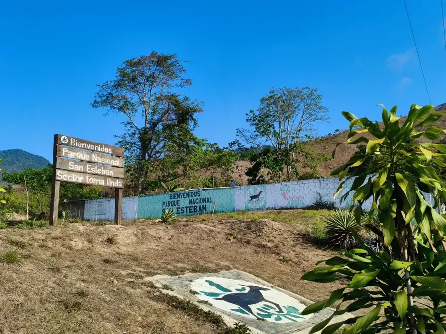
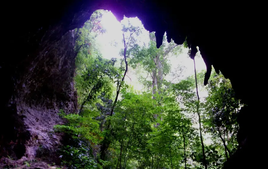
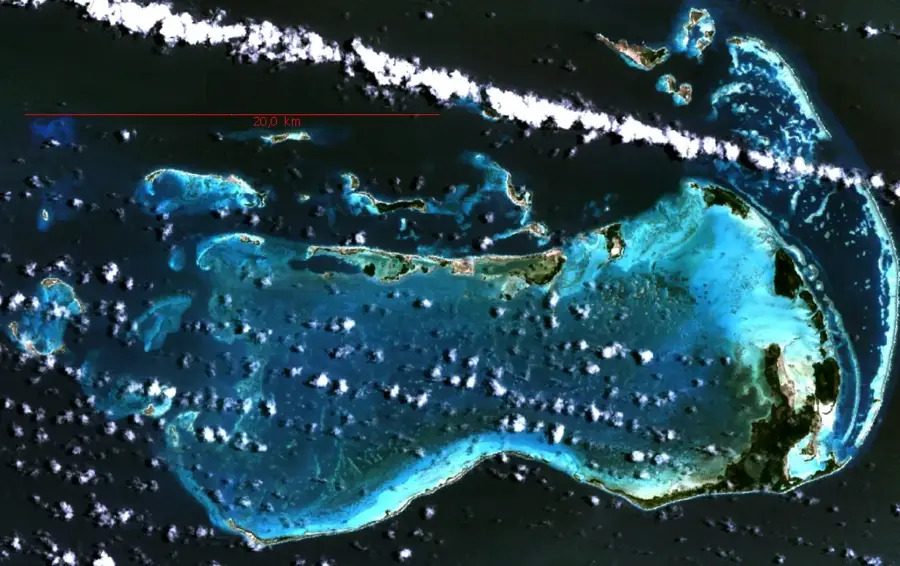
Morrocoy National Park is located on the northeastern coast of Venezuela in Falcón State and is one of the most popular destinations for nature and beach lovers. Established in 1974, the park covers an area of approximately 32,090 hectares (79,300 acres) and consists of an archipelago of small islands (cayos), mangrove swamps, coral reefs, and lagoons. The crystal-clear waters and white sandy beaches of cayos like Sombrero or Sal make it a hub for coastal tourism. Geographically, Morrocoy is characterized by a very flat relief shaped by rising sea levels and the deposition of coral sediments. The mangrove forests are vital to the ecosystem, serving as a nursery for numerous fish species and a nesting ground for birds such as the scarlet ibis and flamingos. Directly adjacent is the Cuare Wildlife Refuge, famous for its enormous variety of aquatic birds. However, the park faces ecological challenges from mass tourism and pollution, requiring increased conservation efforts. Morrocoy remains a symbol of Venezuela's tropical paradise and the importance of marine protected areas.
- Location: Venezuela
- Top sights: Playa Mero · Playa Playuela · Playa Playuelita
Best time to visit & climate
The most pleasant time to visit is Jan–Mar.
| Jan | Feb | Mar | Apr | May | Jun | Jul | Aug | Sep | Oct | Nov | Dec | |
|---|---|---|---|---|---|---|---|---|---|---|---|---|
| Avg °C | 26 | 26 | 26 | 26 | 27 | 27 | 27 | 28 | 29 | 28 | 28 | 27 |
| Rain mm | 32 | 17 | 12 | 34 | 56 | 60 | 74 | 83 | 80 | 100 | 96 | 54 |
📋 Practical info
Geography
Facts
- The park was officially established on May 26, 1974.
- Cayo Sombrero is the largest and most frequently visited island in the park.
- A significant portion of Venezuela's coral reefs are found in this region.
- The adjacent Cuare Refuge hosts over 300 different species of birds.
- The water temperature remains consistent at around 27°C (81°F) year-round.
- Mangroves like Rhizophora mangle are essential for coastal protection.
Explore nearby
Notable places around
Route planner — Car & Motorhome
Where do you start? We build the route here, with stops and country notes along the way.
© OpenStreetMap contributors · OpenRouteService
Sights in the town Morrocoy National Park (4)
Sights nearby
Frequently asked questions
How can I visit the islands of Morrocoy?
Is there infrastructure on the islands?
Is the water suitable for snorkeling?
How crowded is it on weekends?
Do I need to bring sunscreen?
Morrocoy National Park: where is it located?
Morrocoy National Park: what is there to see?
Morrocoy National Park: when is the best time to visit?
Morrocoy National Park: why is it worth visiting?

Nature
More places