Plizio Visual Lab
Port of Guaranao
Weather…
Water temperature…
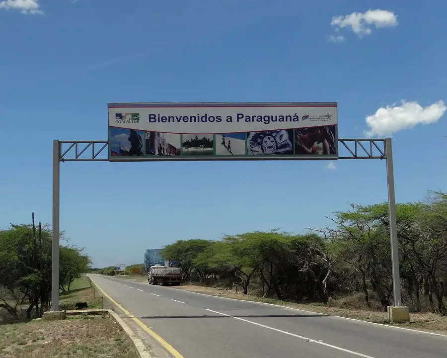
The Port of Guaranao is located on the western coast of the Paraguaná Peninsula in Falcón State, near the city of Punto Fijo. It serves as a fundamental component of the region's industrial infrastructure, primarily supporting the Paraguaná Refining Complex (CRP), one of the largest refinery systems in the world. The port was significantly expanded during the mid-20th century to meet the increasing logistical demands of the petroleum industry and international trade. Guaranao features dedicated berths for oil tankers, container ships, and fishing vessels, the latter of which are crucial for the local food supply. Geographically, the area is characterized by an arid and windy climate, necessitating specialized engineering and robust breakwaters to ensure safe operations. Beyond oil derivatives, the port handles construction materials and consumer goods destined for the Paraguaná Free Trade Zone. The facility plays a decisive role in the economic stability of Falcón State and provides a vital link to international Caribbean and global markets.
- Location: Venezuela
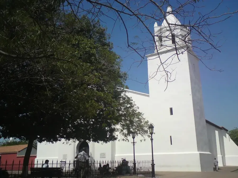
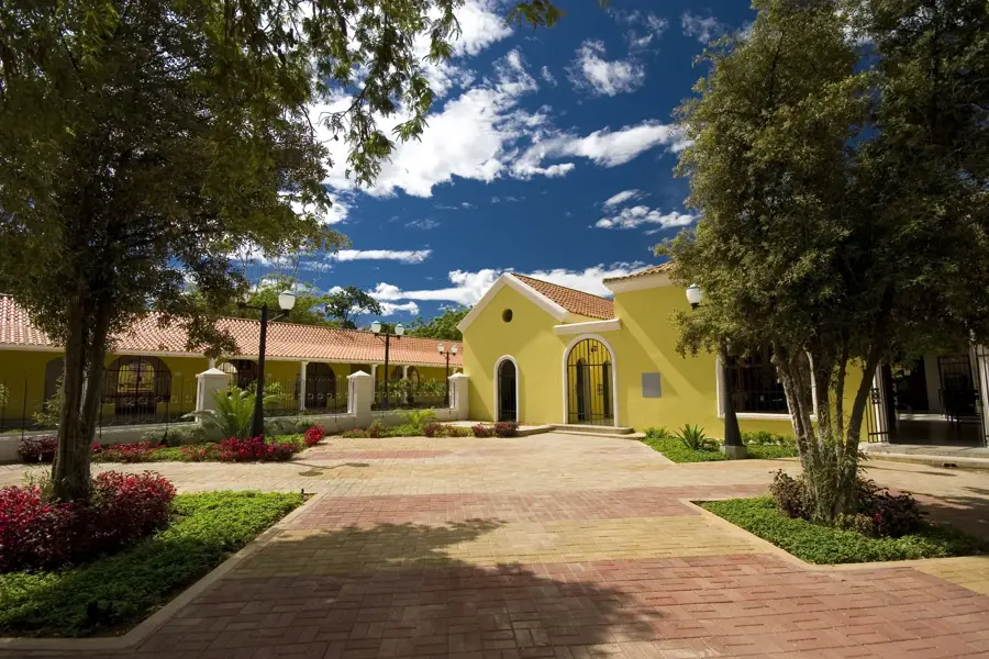
- Top sights: Faro de Puerto Recalada Guaranao · Redoma Bienvenido a Punto Fijo · Ateneo Rubén Ismael Padilla
Best time to visit & climate
The most pleasant time to visit is Jan–Mar.
| Jan | Feb | Mar | Apr | May | Jun | Jul | Aug | Sep | Oct | Nov | Dec | |
|---|---|---|---|---|---|---|---|---|---|---|---|---|
| Avg °C | 26 | 27 | 27 | 28 | 29 | 29 | 28 | 29 | 29 | 28 | 28 | 27 |
| Rain mm | 22 | 14 | 12 | 25 | 44 | 37 | 37 | 51 | 78 | 131 | 98 | 51 |
📋 Practical info
Geography
Facts
- Guaranao was developed into a modern deep-water port during the 1950s.
- The port is strategically located near the Amuay and Cardón oil refineries.
- The draft depth at the main commercial berths is approximately 11 meters (36 feet).
- It operates within the Paraguaná Free Trade Zone, encouraging commercial imports.
- The nearby Las Piedras Airport provides excellent air-sea logistical coordination.
- The port's geography is defined by constant trade winds and semi-desert conditions.
Explore nearby
Notable places around
Route planner — Car & Motorhome
Where do you start? We build the route here, with stops and country notes along the way.
© OpenStreetMap contributors · OpenRouteService
Sights in the town Port of Guaranao (8)
Sights nearby
Frequently asked questions
What is the function of the port of Guaranao?
Is the port publicly accessible?
Are there nearby tourist destinations?
How to get there?
What is the best season?
Port of Guaranao: where is it located?
Port of Guaranao: what is there to see?
Port of Guaranao: when is the best time to visit?
Port of Guaranao: why is it worth visiting?

More places