Plizio Visual Lab
Pico Reverón
Weather…
Water temperature…
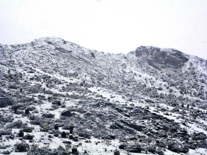
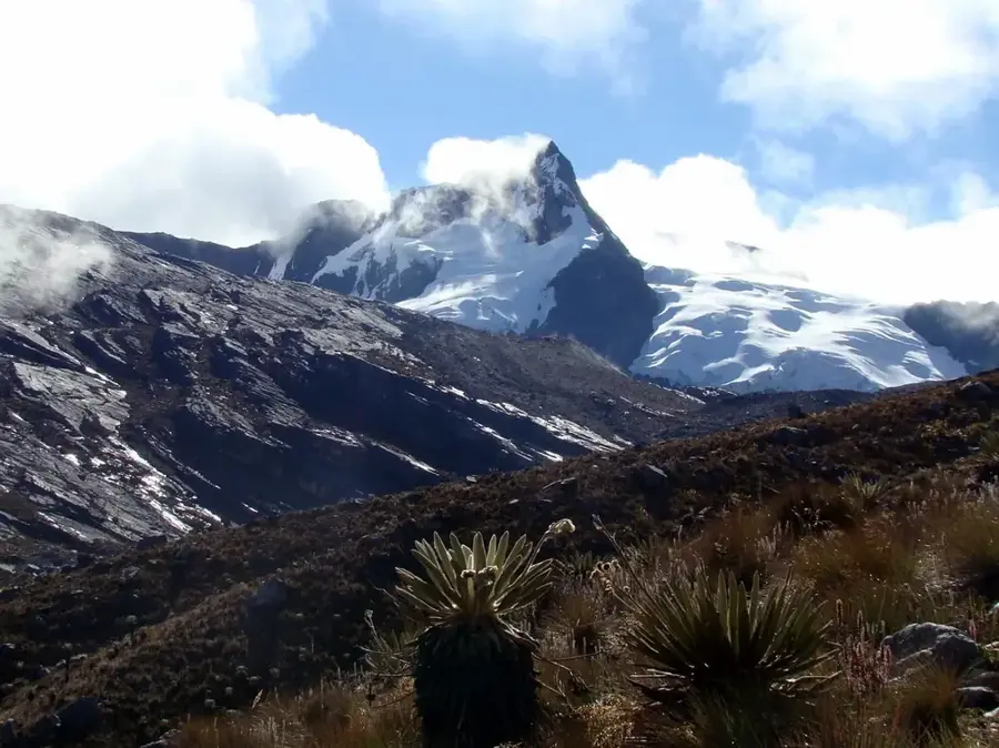
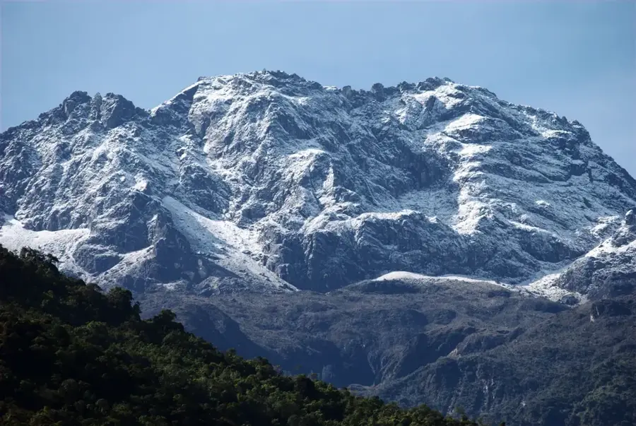
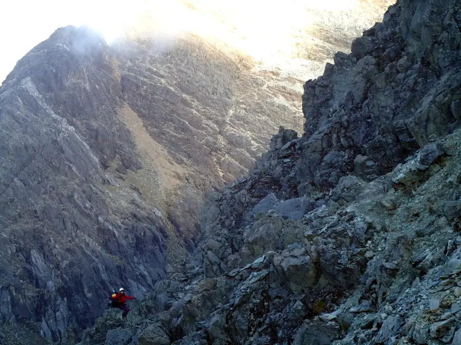
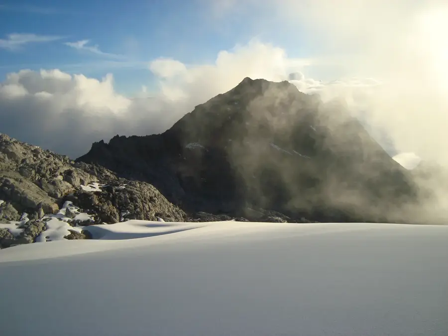
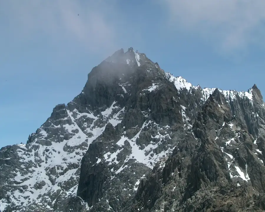
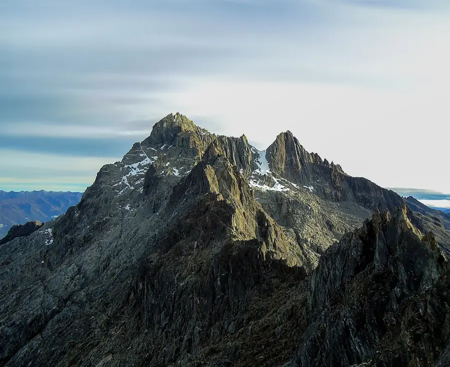
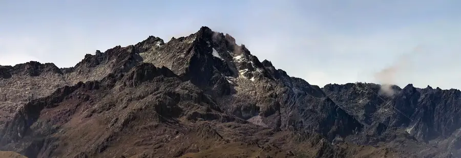
Pico Reverón is a prominent elevation within the Neblina massif in the Venezuelan state of Amazonas. With an altitude of approximately 3,427 meters above sea level, it is among the most significant peaks in this remote mountain region. The mountain is named after the famous Venezuelan painter Armando Reverón, highlighting the cultural connection to the country's natural heritage. Climbing the summit is considered a logistical challenge due to extreme weather conditions and dense vegetation. Geologically, the peak consists of resistant sandstone, typical of the tepuis of the Guiana Shield. The surrounding area is characterized by high biodiversity, with many species not yet fully explored. It is located deep within the tropical rainforest and is accessible only through elaborate expeditions. The region serves as an important watershed for the tributaries of the Orinoco and Amazon rivers.
- Location: Venezuela
- Top sights: Cerro Sulbarán · Los Aleros · Centro Cultural de Tabay
Best time to visit & climate
The most pleasant time to visit is Jan–Mar.
| Jan | Feb | Mar | Apr | May | Jun | Jul | Aug | Sep | Oct | Nov | Dec | |
|---|---|---|---|---|---|---|---|---|---|---|---|---|
| Avg °C | 17 | 18 | 18 | 18 | 18 | 17 | 17 | 17 | 18 | 17 | 17 | 17 |
| Rain mm | 30 | 35 | 72 | 143 | 163 | 136 | 119 | 115 | 135 | 156 | 133 | 68 |
📋 Practical info
Geography
Facts
- Maximum height of approximately 3,427 meters above sea level.
- Named in honor of the Venezuelan artist Armando Reverón.
- Located in the Serranía de la Neblina in Amazonas State.
- Geological composition consists of Precambrian sandstone.
- Crucial watershed for the Amazon basin.
- Accessibility almost exclusively via helicopter or multi-day expeditions.
Explore nearby
Notable places around
Route planner — Car & Motorhome
Where do you start? We build the route here, with stops and country notes along the way.
© OpenStreetMap contributors · OpenRouteService
Sights in the town Pico Reverón (5)
Sights nearby
Frequently asked questions
Is Pico Reverón a well-known mountain?
When is the best time to visit?
How strenuous is the hike?
Is there parking there?
Can the tour be booked with a guide?
Pico Reverón: where is it located?
Pico Reverón: what is there to see?
Pico Reverón: when is the best time to visit?
Pico Reverón: why is it worth visiting?

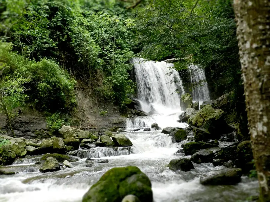
Nature
More places